Jenkin Wood

Wood, Forest in Cumberland Allerdale

England

Jenkin Wood

Road junction at Highmoor Park Highmoor Park surrounded by iron railings has Syke Road to the left in this view and the B5305 road to Wigton to the right
Road junction at Highmoor Park Credit: Kevin Waterhouse

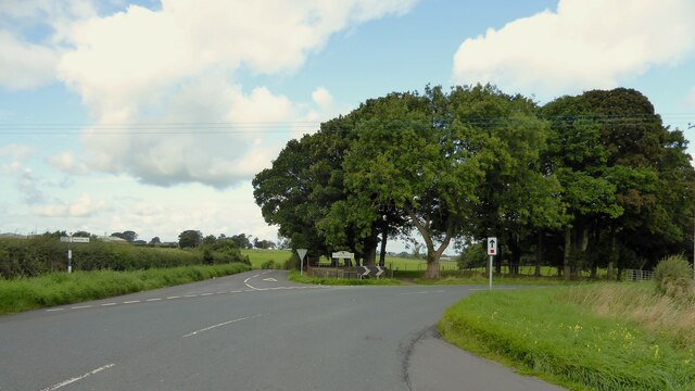
Jenkin Wood is a picturesque forest located in the county of Cumberland, in the northwestern region of England. This woodland area is renowned for its natural beauty and diverse range of flora and fauna, making it a popular destination for nature enthusiasts and hikers alike.

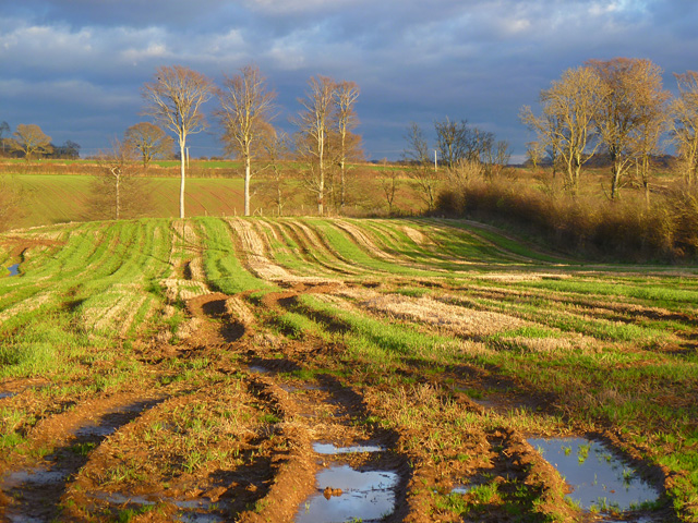
Covering an expansive area of approximately 500 acres, Jenkin Wood is characterized by its dense canopy of towering trees, predominantly consisting of oak, birch, and beech. These majestic trees provide a habitat for a variety of woodland creatures, including deer, foxes, squirrels, and a wide array of bird species.

The forest offers a network of well-maintained trails and pathways, allowing visitors to explore its enchanting surroundings at their own pace. As one traverses through the wood, they are greeted by the soothing sounds of chirping birds and the rustling of leaves underfoot, creating a serene and tranquil atmosphere.

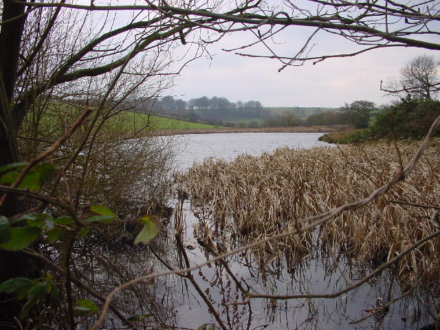
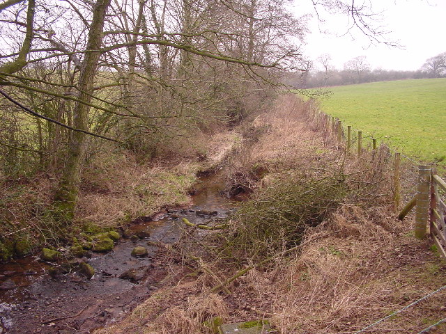
The wood also boasts several natural features, such as a meandering stream that runs through its heart, adding to its overall charm. This stream serves as a water source for the wildlife inhabiting the forest and offers a peaceful spot for visitors to rest and take in the beauty of their surroundings.

Jenkin Wood is not only a haven for nature enthusiasts but also plays a vital role in conserving the local ecosystem. Its protected status ensures the preservation of its natural resources and the safeguarding of the wildlife that calls it home.

Overall, Jenkin Wood is a captivating forest that showcases the beauty of the Cumberland countryside. Its lush greenery, diverse wildlife, and tranquil ambiance make it a must-visit destination for anyone seeking a peaceful retreat in nature.

If you have any feedback on the listing, please let us know in the comments section below.
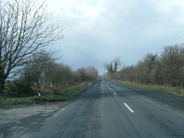
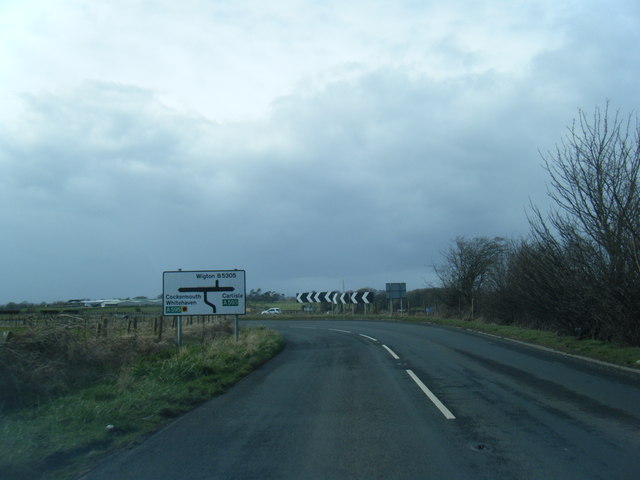
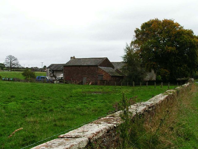
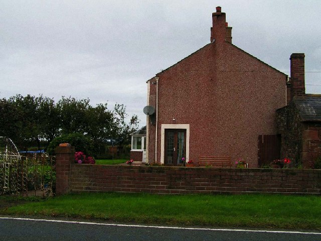
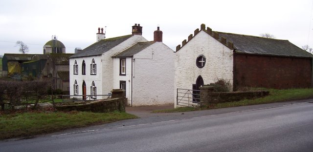
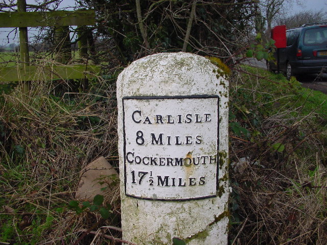
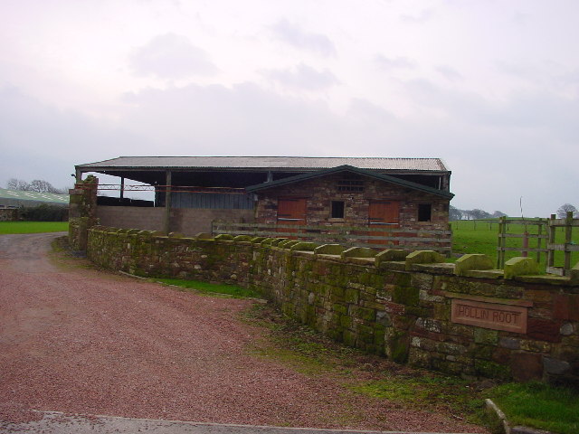
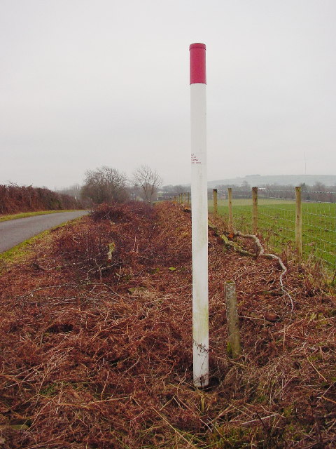
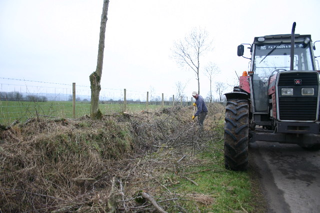
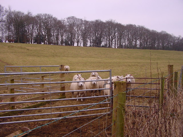
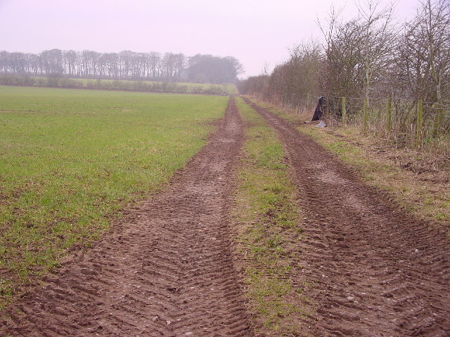
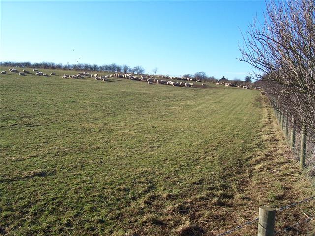
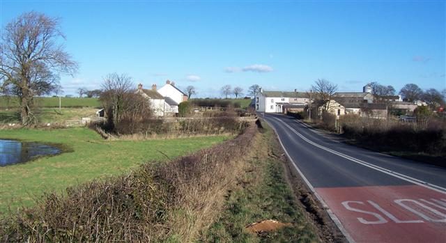
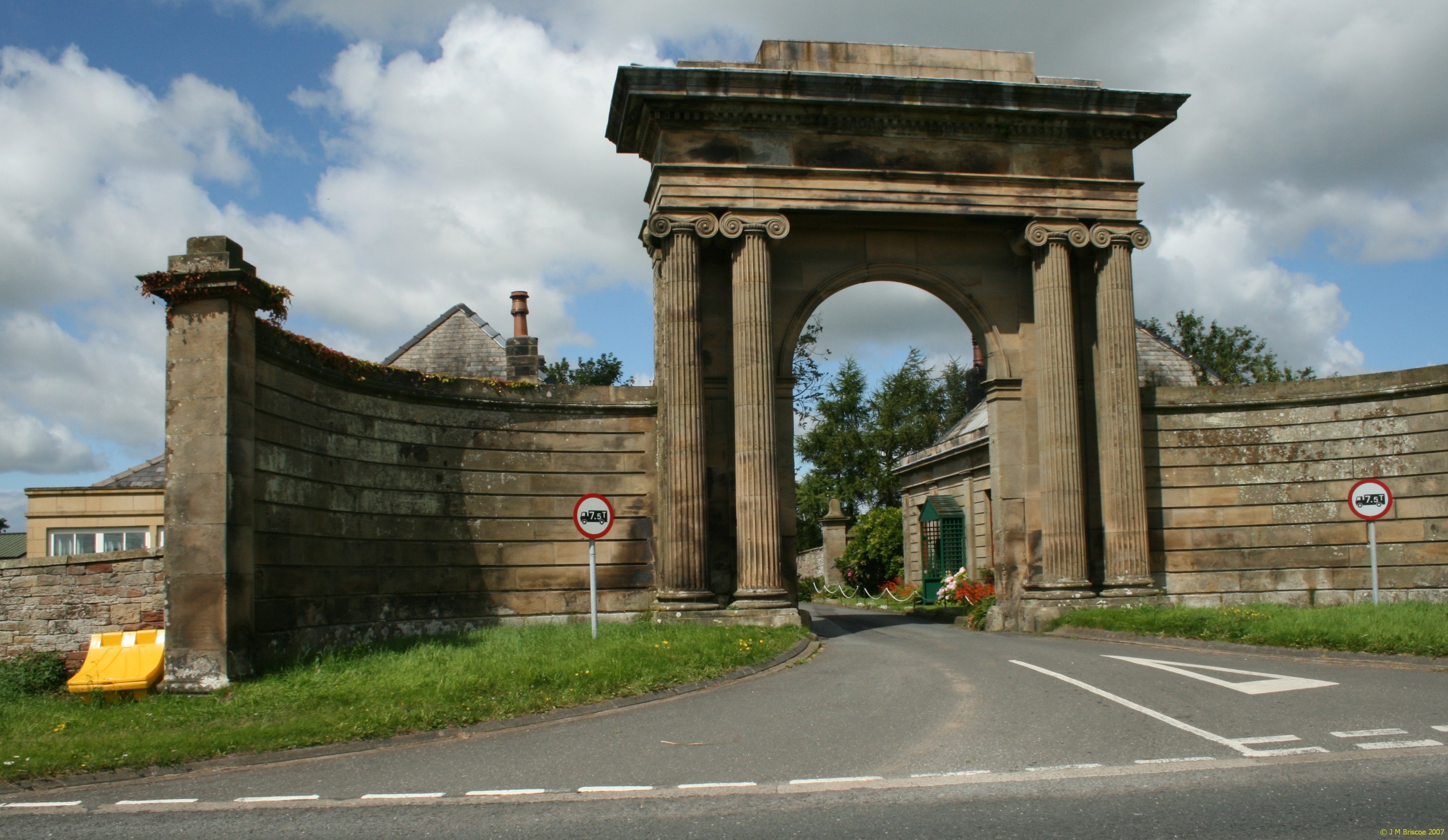
Jenkin Wood Images

Images are sourced within 2km of 54.822091/-3.1073146 or Grid Reference NY2848. Thanks to Geograph Open Source API. All images are credited.

Road junction at Highmoor Park Highmoor Park surrounded by iron railings has Syke Road to the left in this view and the B5305 road to Wigton to the right
Road junction at Highmoor Park
Highmoor Park surrounded by iron railings has Syke Road to the left in this view and the B5305 road to Wigton to the right
Old Milestone by the A595 at Jenkin Cross Metal plate attached to stone post by the A595, in parish of WESTWARD (ALLERDALE District), 50m West of Jenkin Farm, high grass in verge, on North side of road. Carlisle red stone and curved plate, erected by the Cockermouth & Carlisle turnpike trust in the 19th century. 

Inscription reads:-
CARLISLE
9 MILES
COCKERMOUTH
16½ MILES 
Carved benchmark.

Milestone Society National ID: CU_CLCM09
Old Milestone by the A595 at Jenkin Cross
Metal plate attached to stone post by the A595, in parish of WESTWARD (ALLERDALE District), 50m West of Jenkin Farm, high grass in verge, on North side of road. Carlisle red stone and curved plate, erected by the Cockermouth & Carlisle turnpike trust in the 19th century. Inscription reads:- CARLISLE 9 MILES COCKERMOUTH 16½ MILES Carved benchmark. Milestone Society National ID: CU_CLCM09
Old Milestone by the A595, north east of B5305 crossroads Metal plate attached to stone post by the A595, in parish of WESTWARD (ALLERDALE District), East of Street, junction with B5305, on grass verge, on North side of road. Carlisle red stone and curved plate, erected by the Cockermouth & Carlisle turnpike trust in the 19th century. 

Inscription reads:-
CARLISLE
10 MILES
COCKERMOUTH
15½ MILES

Grade II Listed. List Entry Number: 1327250 <span class="nowrap"><a title="https://historicengland.org.uk/listing/the-list/list-entry/1327250" rel="nofollow ugc noopener" href="https://historicengland.org.uk/listing/the-list/list-entry/1327250">Link</a><img style="margin-left:2px;" alt="External link" title="External link - shift click to open in new window" src="https://s1.geograph.org.uk/img/external.png" width="10" height="10"/></span>

Milestone Society National ID: CU_CLCM10
Old Milestone by the A595, north east of B5305 crossroads
Metal plate attached to stone post by the A595, in parish of WESTWARD (ALLERDALE District), East of Street, junction with B5305, on grass verge, on North side of road. Carlisle red stone and curved plate, erected by the Cockermouth & Carlisle turnpike trust in the 19th century. Inscription reads:- CARLISLE 10 MILES COCKERMOUTH 15½ MILES Grade II Listed. List Entry Number: 1327250 LinkExternal link Milestone Society National ID: CU_CLCM10
Farmland, Westward Muddy arable land and a view across the valley of Speet Gill.
Farmland, Westward
Muddy arable land and a view across the valley of Speet Gill.
B5305 at Greenrigg Farm entrance
B5305 nearing the A595 junction
Bank Farm, near Wigton The red colour is a feature of the Triassic sandstone used locally for virtually all buildings more than a few decades old.
Bank Farm, near Wigton
The red colour is a feature of the Triassic sandstone used locally for virtually all buildings more than a few decades old.
Forest Hall Farm This farm is immediately next to the main A596 which links Cockermouth and west Cumbria to Carlisle.
Forest Hall Farm
This farm is immediately next to the main A596 which links Cockermouth and west Cumbria to Carlisle.
Jenkin's Cross Farm. The round feature in the gable end has the placename around it but I have not found any history behind this name yet.
Jenkin's Cross Farm.
The round feature in the gable end has the placename around it but I have not found any history behind this name yet.
Old Milestone on A595
Barn and Stable, Hollin Root The stable appears to be grafted onto the barn as a later addition.
Barn and Stable, Hollin Root
The stable appears to be grafted onto the barn as a later addition.
Moorthwaite Lough Artificially created by damming a stream, it was once far more extensive. Now it is little more than a pond.
Moorthwaite Lough
Artificially created by damming a stream, it was once far more extensive. Now it is little more than a pond.
Hedging and Gas The old hedge has just been "laid" to regenerate dense growth. The pole is a marker for an underground high pressure gas pipeline.
Hedging and Gas
The old hedge has just been "laid" to regenerate dense growth. The pole is a marker for an underground high pressure gas pipeline.
Hedge Laying at Brackenthwaite This hedge has been laid the traditional way, by hand. Many hedges are simply slashed by mechanical cutters, leaving an inferior, straggly hedge.
Hedge Laying at Brackenthwaite
This hedge has been laid the traditional way, by hand. Many hedges are simply slashed by mechanical cutters, leaving an inferior, straggly hedge.
Speet Gill Looking northwest
Speet Gill
Looking northwest
Bars The narrow strip of Sandybrows Wood encloses this grazing field.
Bars
The narrow strip of Sandybrows Wood encloses this grazing field.
Farm Track to Spain Wood
Sheep feeding at Green Rigg. You can just see the chimney stack of the farmhouse at the end of the lane.
Sheep feeding at Green Rigg.
You can just see the chimney stack of the farmhouse at the end of the lane.
Show me another place!

Jenkin Wood is located at Grid Ref: NY2848 (Lat: 54.822091, Lng: -3.1073146)

Administrative County: Cumbria

District: Allerdale

Police Authority: Cumbria

What 3 Words

///binds.warmers.draining. Near Wigton, Cumbria

Nearby Locations

Jenkin Wood

Related Wikis

Micklethwaite, Cumbria

Micklethwaite is a hamlet in Cumbria, England, close to the Lake District. It is situated to the north east of Wigton. == References == == External... ==

Brackenthwaite, Westward

Brackenthwaite is a settlement situated some 3 miles (4.8 km) south-east of the town of Wigton in the English county of Cumbria. It should not be confused...

Crofton, Cumbria

Crofton is an area of Thursby, Allerdale district of Cumbria, England. It is 6.4 miles (10.3 km) west-southwest of Carlisle. In 1870-72 the township had...

The Nelson Thomlinson School

The Nelson Thomlinson School is a comprehensive secondary school located in the market town of Wigton, Cumbria, England. The school's motto is the Latin...

Nearby Amenities

Located within 500m of 54.822091,-3.1073146
Power: pole
Lat/Long: 54.8206777/-3.1083273
Power: pole
Lat/Long: 54.8200843/-3.1097921
Power: pole
Lat/Long: 54.8194829/-3.1112176
Power: pole
Lat/Long: 54.8192986/-3.1129266
The data included in this document is from www.openstreetmap.org. The data is made available under ODbL.

Have you been to Jenkin Wood?

Leave your review of Jenkin Wood below (or comments, questions and feedback).