Kiln Hall Wood

Wood, Forest in Lancashire South Lakeland

England

Kiln Hall Wood

Farmland at High Nibthwaite South of Coniston Water. The crag on the left is Brook Barrow
Farmland at High Nibthwaite Credit: Eirian Evans

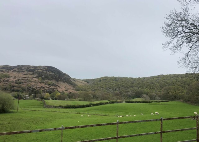
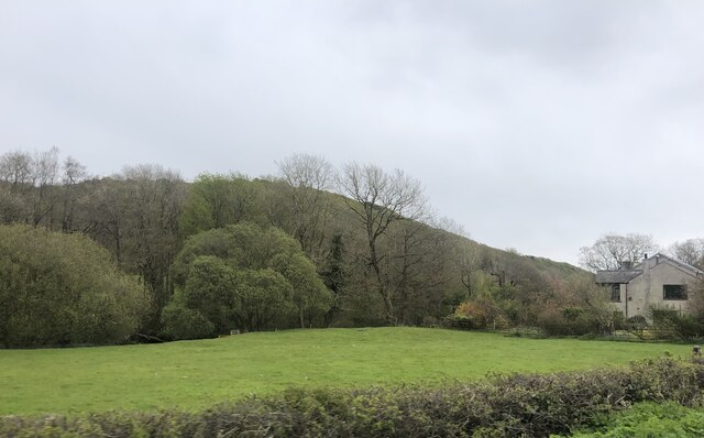
Kiln Hall Wood is a picturesque woodland located in Lancashire, England. Spanning over a vast area, it is a haven for nature enthusiasts and offers a serene environment for visitors to explore. The wood is situated near the village of Bispham Green, adding to its accessibility and charm.

The woodland is primarily composed of diverse species of trees, including oak, beech, and birch, which create a dense canopy overhead. This rich variety of flora provides a habitat for numerous birds, insects, and small mammals, making it an ideal spot for wildlife enthusiasts. The forest floor is carpeted with a lush layer of moss, ferns, and wildflowers, adding to the beauty and tranquility of the area.

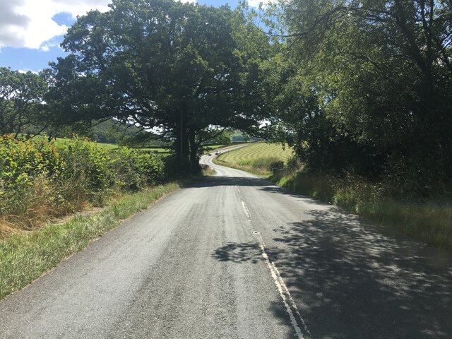
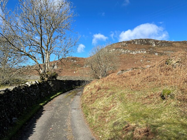
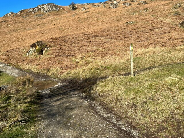
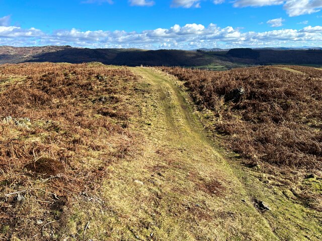
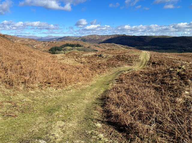
Kiln Hall Wood offers several well-maintained walking trails, allowing visitors to immerse themselves in the natural beauty of the surroundings. These paths wind through the woodland, offering glimpses of enchanting glades and babbling brooks. The wood is also home to a variety of bird species, making it a popular destination for birdwatchers.

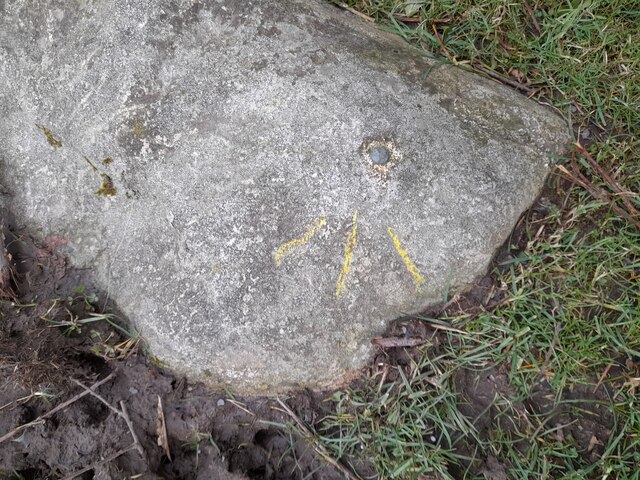
The wood has a rich history, with evidence of charcoal production dating back centuries. The remnants of old kilns can still be seen, serving as a testament to the area's industrial past. Interpretative signs are scattered throughout the woodland, providing visitors with information about the history and ecology of the wood.

Overall, Kiln Hall Wood is a hidden gem in Lancashire, offering a peaceful retreat from the hustle and bustle of daily life. Its natural beauty, diverse wildlife, and historical significance make it a must-visit destination for nature lovers and history enthusiasts alike.

If you have any feedback on the listing, please let us know in the comments section below.

Kiln Hall Wood Images

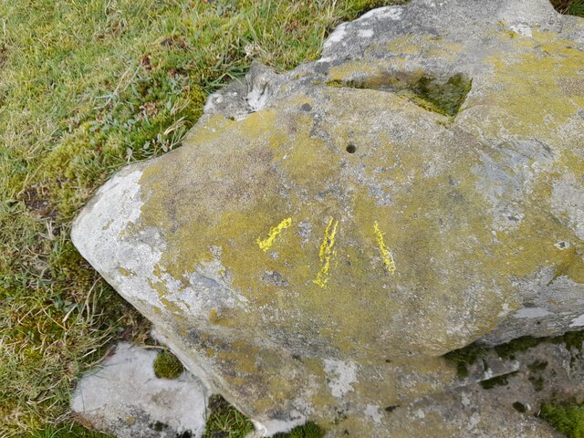
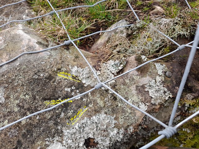
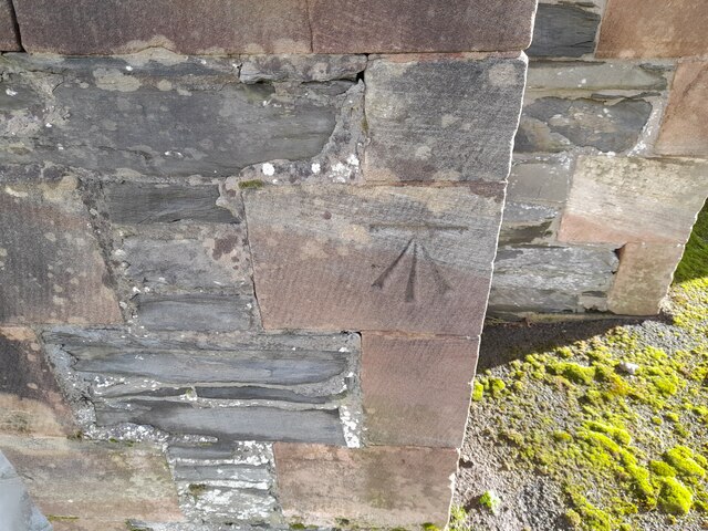
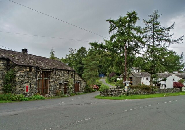
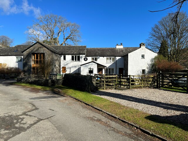
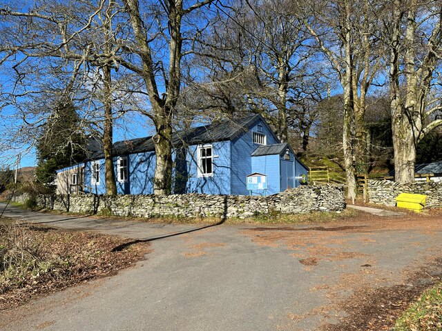
Images are sourced within 2km of 54.280456/-3.1016291 or Grid Reference SD2887. Thanks to Geograph Open Source API. All images are credited.

Farmland at High Nibthwaite South of Coniston Water. The crag on the left is Brook Barrow
Farmland at High Nibthwaite
South of Coniston Water. The crag on the left is Brook Barrow
Wide valley of the River Crake
Former Blawith church Formerly this was the Church of St John the Baptist but it became redundant in 1988 and was sold to be converted in 2012
Former Blawith church
Formerly this was the Church of St John the Baptist but it became redundant in 1988 and was sold to be converted in 2012
Field by the River Crake The trees mark the route of the River Crake at Lowick
Field by the River Crake
The trees mark the route of the River Crake at Lowick
Ordnance Survey Rivet This OS rivet can be found on a boulder east side of the road. It marks a point 139.317m above mean sea level.
Ordnance Survey Rivet
This OS rivet can be found on a boulder east side of the road. It marks a point 139.317m above mean sea level.
Ordnance Survey Rivet This OS rivet can be found on the culvert NE side of the road. It marks a point 124.724m above mean sea level.
Ordnance Survey Rivet
This OS rivet can be found on the culvert NE side of the road. It marks a point 124.724m above mean sea level.
Ordnance Survey Rivet This damaged OS rivet can be found on the rock NE side of the road. It marks a point 124.942m above mean sea level.
Ordnance Survey Rivet
This damaged OS rivet can be found on the rock NE side of the road. It marks a point 124.942m above mean sea level.
Ordnance Survey Rivet This OS rivet can be found on a rock south side of the road. It marks a point 75,204m above mean sea level.
Ordnance Survey Rivet
This OS rivet can be found on a rock south side of the road. It marks a point 75,204m above mean sea level.
Ordnance Survey Rivet This OS rivet can be found on the NE parapet of the bridge. It marks a point 61.586m above mean sea level.
Ordnance Survey Rivet
This OS rivet can be found on the NE parapet of the bridge. It marks a point 61.586m above mean sea level.
Ordnance Survey Cut Mark This OS cut mark can be found on the south angle of St Luke's Church. It marks a point 54.979m above mean sea level.
Ordnance Survey Cut Mark
This OS cut mark can be found on the south angle of St Luke's Church. It marks a point 54.979m above mean sea level.
A5084 in the Crake Valley
Road junction in Water Yeat
Water Yeat Mill This former corn mill was supplied with water power by Greenholme Beck, fed by Beacon Tarn.  It was converted in the mid-1960s into sheltered accommodation for elderly people and now, much altered, it is partly residential with the remainder let for holidays.
Water Yeat Mill
This former corn mill was supplied with water power by Greenholme Beck, fed by Beacon Tarn. It was converted in the mid-1960s into sheltered accommodation for elderly people and now, much altered, it is partly residential with the remainder let for holidays.
Blawith and Nibthwaite Village Hall This small, wooden village hall is located in Water Yeat.  It is run as a charity by and for the benefit of the local community.
Blawith and Nibthwaite Village Hall
This small, wooden village hall is located in Water Yeat. It is run as a charity by and for the benefit of the local community.
The road to Greenholme Farm Bowder Knott is the hill in the right background.
The road to Greenholme Farm
Bowder Knott is the hill in the right background.
The Cumbria Way, Tottlebank The main track is the public bridleway from Tottlebank to Heathwaite; the track to the right is a public footpath to Cockenskell.
Northbound walkers following The Cumbria Way turn right here to follow the footpath up the hill (next photograph <a href="https://www.geograph.org.uk/photo/7428087">SD2688 : The Cumbria Way, Tottlebank</a>).
The Cumbria Way, Tottlebank
The main track is the public bridleway from Tottlebank to Heathwaite; the track to the right is a public footpath to Cockenskell. Northbound walkers following The Cumbria Way turn right here to follow the footpath up the hill (next photograph SD2688 : The Cumbria Way, Tottlebank).
Path on Tottlebank Height This path is the route of The Cumbria Way over the open fell between Tottlebank Farm and Cockenskell (next photograph <a href="https://www.geograph.org.uk/photo/7432096">SD2788 : The Cumbria Way near The Low</a>).
Path on Tottlebank Height
This path is the route of The Cumbria Way over the open fell between Tottlebank Farm and Cockenskell (next photograph SD2788 : The Cumbria Way near The Low).
Path on Tottlebank Height This undulating path is the route of The Cumbria Way over the open fell between Tottlebank Farm and Cockenskell (next photograph <a href="https://www.geograph.org.uk/photo/7427169">SD2788 : Path on Tottlebank Height</a>).
Path on Tottlebank Height
This undulating path is the route of The Cumbria Way over the open fell between Tottlebank Farm and Cockenskell (next photograph SD2788 : Path on Tottlebank Height).
Show me another place!

Kiln Hall Wood is located at Grid Ref: SD2887 (Lat: 54.280456, Lng: -3.1016291)

Administrative County: Cumbria

District: South Lakeland

Police Authority: Cumbria

What 3 Words

///flank.never.sweetener. Near Ulverston, Cumbria

Related Wikis

Blawith and Subberthwaite

Blawith and Subberthwaite is a civil parish in the South Lakeland district of Cumbria, England. It is situated in the Lake District National Park, and...

St John the Baptist's Church, Blawith

St John the Baptist's Church is a redundant Anglican church in the settlement of Blawith, Cumbria, England. It is located to the east of the A5084 road...

Furness

Furness ( FUR-niss, fur-NESS) is a peninsula and region of Cumbria, England. Together with the Cartmel Peninsula it forms North Lonsdale, historically...

Lowick, Cumbria

Lowick is a village and civil parish in the South Lakeland district of the English county of Cumbria. Prior to 1 April 1974 it was part of Lancashire,...

Nearby Amenities

Located within 500m of 54.280456,-3.1016291
Barrier: stile
Lat/Long: 54.2801632/-3.0998413
Barrier: stile
Lat/Long: 54.2799787/-3.1042675
Barrier: stile
Lat/Long: 54.2797579/-3.0980815
Barrier: stile
Lat/Long: 54.2798936/-3.0989773
Barrier: stile
Lat/Long: 54.2800299/-3.0994675
Barrier: stile
Lat/Long: 54.2796287/-3.1012452
Spout Crag
Building: residential
Lat/Long: 54.2829061/-3.1023234
Power: pole
Lat/Long: 54.2840491/-3.0977878
Power: pole
Lat/Long: 54.2832694/-3.0974311
Power: pole
Lat/Long: 54.2823252/-3.0977717
Power: pole
Lat/Long: 54.2813543/-3.0982934
Power: pole
Lat/Long: 54.2805776/-3.0986796
Power: pole
Lat/Long: 54.2798518/-3.099082
Power: pole
Lat/Long: 54.2789318/-3.0993488
Power: pole
Lat/Long: 54.2782537/-3.0995822
Power: pole
Lat/Long: 54.2777135/-3.0997753
Power: pole
Lat/Long: 54.2769132/-3.1002098
Ford: yes
Lat/Long: 54.2796134/-3.10708
The Knotts
Place: locality
Lat/Long: 54.2787517/-3.0955656
Power: pole
Lat/Long: 54.2773245/-3.1068477
Power: pole
Lat/Long: 54.2777838/-3.1057306
Power: pole
Lat/Long: 54.278375/-3.1045529
Power: pole
Lat/Long: 54.2786962/-3.1040704
Power: pole
Lat/Long: 54.2791382/-3.1033181
The data included in this document is from www.openstreetmap.org. The data is made available under ODbL.

Have you been to Kiln Hall Wood?

Leave your review of Kiln Hall Wood below (or comments, questions and feedback).