Llandrain Wood

Wood, Forest in Herefordshire

England

Llandrain Wood

New barn, near Little Bage This is a new barn built alongside the course of the old railway line which used to serve the Golden Valley. The barn is not yet shown on OS maps, it is located by the junction of Spoon Lane with Scar Lane.
New barn, near Little Bage Credit: Philip Halling

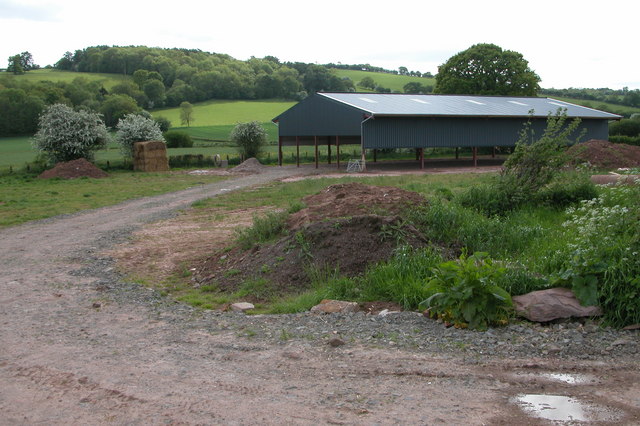
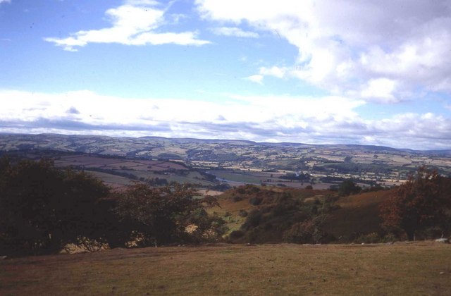
Llandrain Wood, located in Herefordshire, is a picturesque and enchanting forest that covers an area of approximately 500 acres. Situated just a few miles south of Hereford, this woodland gem offers a tranquil escape from the hustle and bustle of urban life.

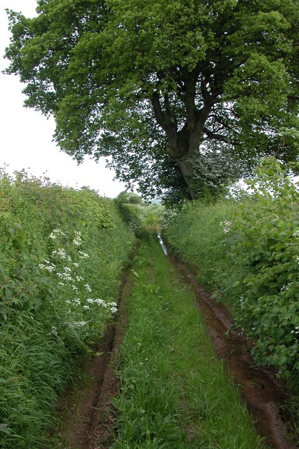
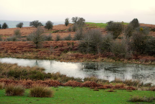
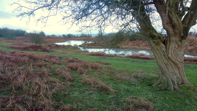
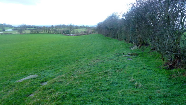
Llandrain Wood is primarily composed of native broadleaf trees, including oak, ash, and beech, which create a rich and diverse ecosystem. The forest floor is adorned with a vibrant carpet of bluebells during the spring months, enhancing the natural beauty of the wood. The dense canopy of trees provides a haven for numerous species of wildlife, including birds, small mammals, and insects.

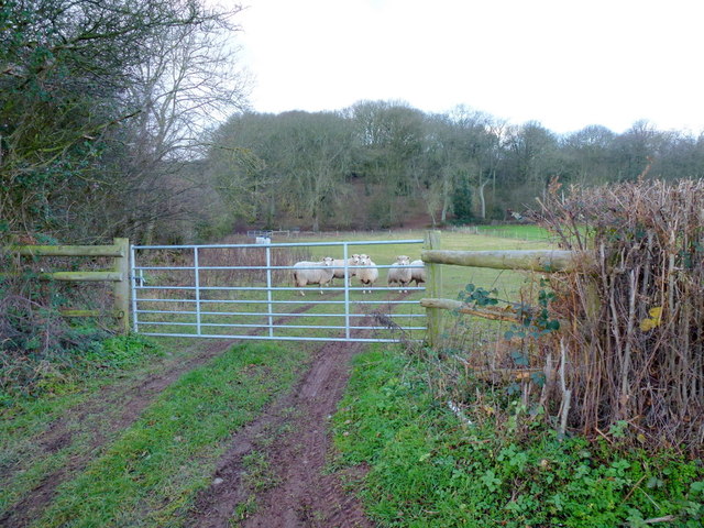
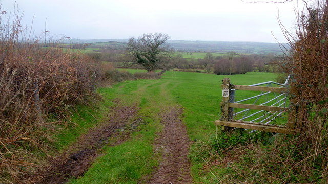
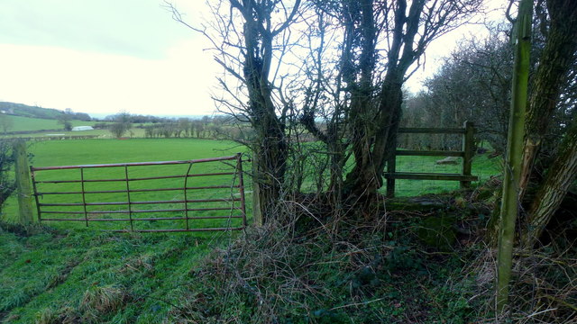
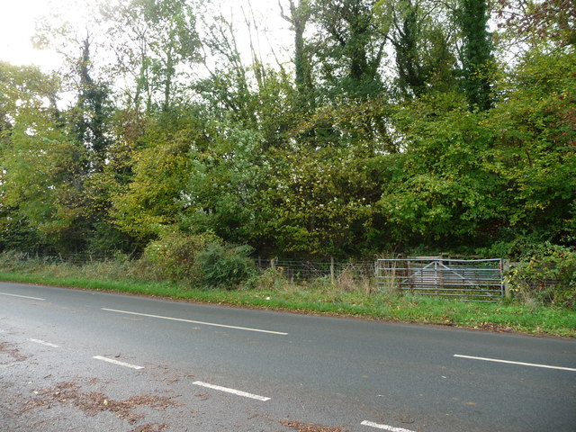
The woodland is crisscrossed by a network of well-maintained footpaths and trails, allowing visitors to explore its various nooks and crannies. These paths meander through the forest, leading to secluded glades and picturesque viewpoints. Along the way, hikers may encounter ancient trees with gnarled trunks, evidence of the wood's long history.

Llandrain Wood has a rich cultural heritage, dating back centuries. It was once part of a larger estate owned by a local family, and remnants of old structures, such as stone walls and gateways, can still be found within the woodland. These historical features add a touch of intrigue and mystery to the overall ambiance of the forest.

Whether it's a leisurely stroll, a bird-watching expedition, or a peaceful picnic, Llandrain Wood offers a serene and idyllic setting for outdoor enthusiasts to immerse themselves in nature's wonders. With its diverse flora and fauna, well-maintained trails, and historical significance, this woodland gem is a must-visit destination for nature lovers and history buffs alike.

If you have any feedback on the listing, please let us know in the comments section below.

Llandrain Wood Images

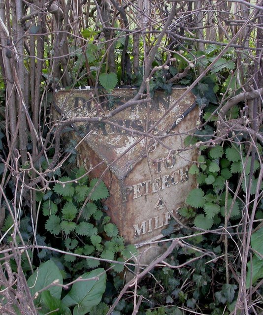
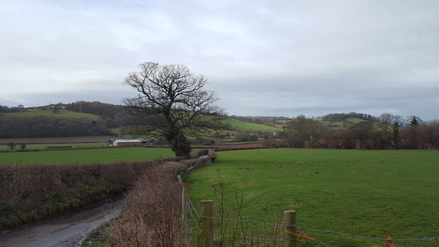
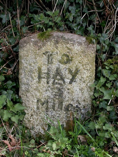
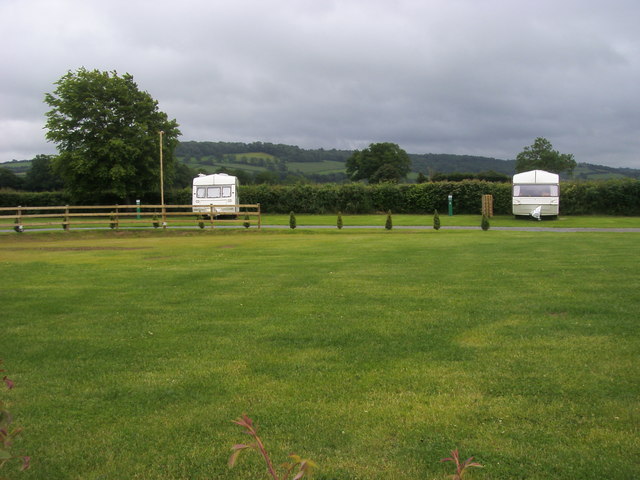
Images are sourced within 2km of 52.083995/-3.0435443 or Grid Reference SO2843. Thanks to Geograph Open Source API. All images are credited.

New barn, near Little Bage This is a new barn built alongside the course of the old railway line which used to serve the Golden Valley. The barn is not yet shown on OS maps, it is located by the junction of Spoon Lane with Scar Lane.
New barn, near Little Bage
This is a new barn built alongside the course of the old railway line which used to serve the Golden Valley. The barn is not yet shown on OS maps, it is located by the junction of Spoon Lane with Scar Lane.
Spoon Lane, Dorstone At its northern end Spoon Lane is used as access by the farmer to nearby fields, further on it is used less frequently.
Spoon Lane, Dorstone
At its northern end Spoon Lane is used as access by the farmer to nearby fields, further on it is used less frequently.
Merbach Hill West side of the hill overlooking the Wye valley.
Merbach Hill
West side of the hill overlooking the Wye valley.
Sheep pasture To the west of the B4348.
Asper Wood is beyond.
Sheep pasture
To the west of the B4348. Asper Wood is beyond.
River Dore valley floor The Golden Valley is a dull mix of green and grey on this December afternoon.
River Dore valley floor
The Golden Valley is a dull mix of green and grey on this December afternoon.
Spoon Lane What used to be the main route along the Golden Valley is now a green lane.
Spoon Lane
What used to be the main route along the Golden Valley is now a green lane.
Old Milepost by the B4348, Asper Wood, Dorstone Parish Cast iron post by the B4348, in parish of DORSTONE (District), below Asper Wood, in hedgerow 20m South of 4 field entrances, on West side of road. Hereford iron T-post, erected by the Chepstow District turnpike trust in the 19th century. 

Inscription reads:-
: TO / HAY / 5 / MILES : : DORSTON / PARISH : : TO / PETERCHH / 4 / MILES :

Herefordshire SMR listed. SMR Number: 56732 <span class="nowrap"><a title="https://www.heritagegateway.org.uk/Gateway/Results_Single.aspx?uid=MHE28488&resourceID=101" rel="nofollow ugc noopener" href="https://www.heritagegateway.org.uk/Gateway/Results_Single.aspx?uid=MHE28488&resourceID=101">Link</a><img style="margin-left:2px;" alt="External link" title="External link - shift click to open in new window" src="https://s1.geograph.org.uk/img/external.png" width="10" height="10"/></span>

Milestone Society National ID: HF_PCHY04.
Old Milepost by the B4348, Asper Wood, Dorstone Parish
Cast iron post by the B4348, in parish of DORSTONE (District), below Asper Wood, in hedgerow 20m South of 4 field entrances, on West side of road. Hereford iron T-post, erected by the Chepstow District turnpike trust in the 19th century. Inscription reads:- : TO / HAY / 5 / MILES : : DORSTON / PARISH : : TO / PETERCHH / 4 / MILES : Herefordshire SMR listed. SMR Number: 56732 LinkExternal link Milestone Society National ID: HF_PCHY04.
Minor country road Looking down from Scar Lane.
Minor country road
Looking down from Scar Lane.
Old Milestone, B4352, Pen-y-Park The milestone is located at the top of East Hill, east of cottages, on the verge immediately to the west of the boundary marker HF_HYHF03pb <a title="https://www.geograph.org.uk/photo/6049297" href="https://www.geograph.org.uk/photo/6049297">Link</a> on the south side of the road.  Parish of Clifford (Hererfordshire District). Carved stone post, erected by the Whitney & Brewardine turnpike trust in the 19th century. 

Inscription reads:-   : TO / HAY / 3 MILES :


Milestone Society National ID: HF_HYHF03
Old Milestone, B4352, Pen-y-Park
The milestone is located at the top of East Hill, east of cottages, on the verge immediately to the west of the boundary marker HF_HYHF03pb Link on the south side of the road. Parish of Clifford (Hererfordshire District). Carved stone post, erected by the Whitney & Brewardine turnpike trust in the 19th century. Inscription reads:- : TO / HAY / 3 MILES : Milestone Society National ID: HF_HYHF03
Caravan Park Caravan park at The Castlefield St Oswald
Caravan Park
Caravan park at The Castlefield St Oswald
Footpath to the West Brook The Wye valley occupies ground beyond the low hill in the middle distance.
Footpath to the West Brook
The Wye valley occupies ground beyond the low hill in the middle distance.
Pool on Little Mountain A piece of low moorland I last visited in the snow of January 2010; <a href="https://www.geograph.org.uk/photo/1657094">SO2842 : Walkers on Little Mountain</a>.
Pool on Little Mountain
A piece of low moorland I last visited in the snow of January 2010; SO2842 : Walkers on Little Mountain.
Little Mountain Common A piece of low moorland I last visited in the snow of January 2010; <a href="https://www.geograph.org.uk/photo/1657094">SO2842 : Walkers on Little Mountain</a>.
Little Mountain Common
A piece of low moorland I last visited in the snow of January 2010; SO2842 : Walkers on Little Mountain.
Where's the food then? Some inquisitive Black-face sheep appear to see what a Geographer is doing at this spot at 8:22am on a cold February morning.
Where's the food then?
Some inquisitive Black-face sheep appear to see what a Geographer is doing at this spot at 8:22am on a cold February morning.
Sheep in a field to the south of Little Mountain See <a href="https://www.geograph.org.uk/photo/4821631">SO2842 : Where's the food then?</a> for a close-up.
Sheep in a field to the south of Little Mountain
See SO2842 : Where's the food then? for a close-up.
Stile on Tomkyn's Lane Footpath leads north-west towards Llanerch-y-coed.
Stile on Tomkyn's Lane
Footpath leads north-west towards Llanerch-y-coed.
Footpath from Tomkyn's Lane Footpath leads north-west towards Llanerch-y-coed.
Footpath from Tomkyn's Lane
Footpath leads north-west towards Llanerch-y-coed.
Trees along the route of the Golden Valley Railway The Golden Valley Railway ran from Pontrilas to Hay on Wye. This section, between Dorstone and Hay on Wye, opened in 1889 and closed to passengers in 1941, closing completely on 1st January 1950. it has now been closed longer than it was open.
Trees along the route of the Golden Valley Railway
The Golden Valley Railway ran from Pontrilas to Hay on Wye. This section, between Dorstone and Hay on Wye, opened in 1889 and closed to passengers in 1941, closing completely on 1st January 1950. it has now been closed longer than it was open.
Show me another place!

Llandrain Wood is located at Grid Ref: SO2843 (Lat: 52.083995, Lng: -3.0435443)

Unitary Authority: County of Herefordshire

Police Authority: West Mercia

What 3 Words

///daylight.wordplay.dove. Near Dorstone, Herefordshire

Related Wikis

Westbrook railway station (England)

Westbrook railway station was a station to the northwest of Dorstone, Herefordshire, England. The station was opened in 1881, closed to passengers in 1941...

Greens Siding railway station

Greens Siding railway station was a station to the east of Clifford, Herefordshire, England. The station was opened in 1903, closed to passengers in 1941...

Dorstone Castle

Dorstone Castle was in the village of Dorstone in Herefordshire, England, located 6 miles to the east of Hay-on-Wye. == Motte and bailey == This was a...

Dorstone

Dorstone is a village within the Golden Valley, Herefordshire, England. There is a church and public house with restaurant. The Golden Valley area offers...

Nearby Amenities

Located within 500m of 52.083995,-3.0435443
Westbrook
Abandoned Railway: station
Railway: site
Wikidata: Q29379195
Wikipedia: en:Westbrook railway station (England)
Lat/Long: 52.0862268/-3.0496732
The data included in this document is from www.openstreetmap.org. The data is made available under ODbL.

Have you been to Llandrain Wood?

Leave your review of Llandrain Wood below (or comments, questions and feedback).