Alder Grove Copse

Wood, Forest in Somerset South Somerset

England

Alder Grove Copse

Sticklepath Farm A grey wet evening at SticklepathF arm on the minor road from Horton to Combe St Nicholas.
Sticklepath Farm Credit: Nigel Mykura

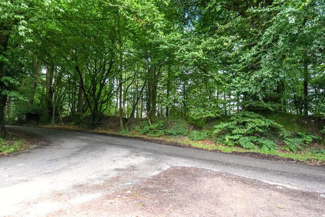
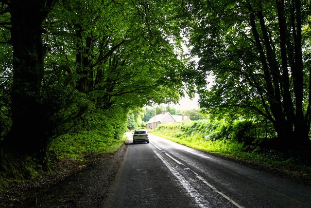
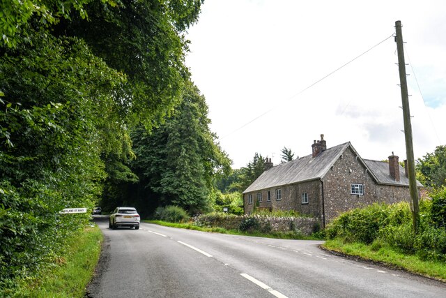
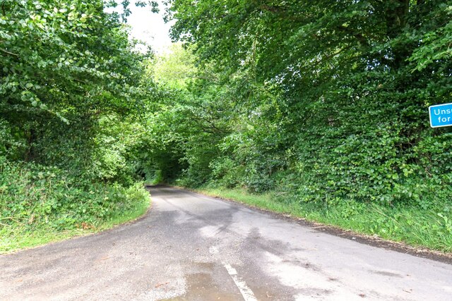
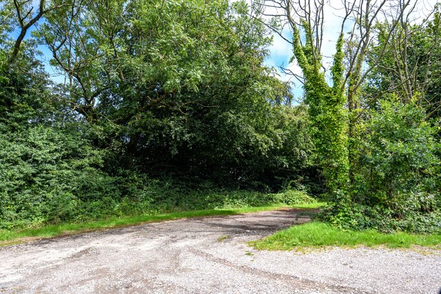
Alder Grove Copse is a picturesque woodland located in Somerset, England. This serene and enchanting forest covers an area of approximately 20 acres and is nestled within the rolling countryside. The copse is primarily composed of alder trees, which give it its name, but it also features a diverse range of other tree species including oaks, beeches, and sycamores.

The woodland is a haven for wildlife, offering a rich and biodiverse habitat for various species. It is a popular spot for birdwatchers, as the copse is home to a plethora of bird species, including woodpeckers, song thrushes, and tawny owls. Additionally, the woodland provides shelter and sustenance for small mammals such as foxes, badgers, and squirrels.

Visitors to Alder Grove Copse can enjoy a tranquil and immersive experience in nature. The forest is crisscrossed by well-maintained footpaths, allowing visitors to explore the copse and discover its hidden gems. The woodland floor is covered with a vibrant carpet of wildflowers during spring, adding a burst of color to the serene surroundings.

Alder Grove Copse is also a designated nature reserve, highlighting its importance in preserving and protecting the local ecosystem. The copse is managed by a dedicated team of conservationists who work diligently to maintain its natural beauty and ecological balance.

Whether it's a leisurely walk among the towering trees, a birdwatching expedition, or simply a peaceful escape from the hustle and bustle of everyday life, Alder Grove Copse offers a slice of tranquility and natural beauty in the heart of Somerset.

If you have any feedback on the listing, please let us know in the comments section below.

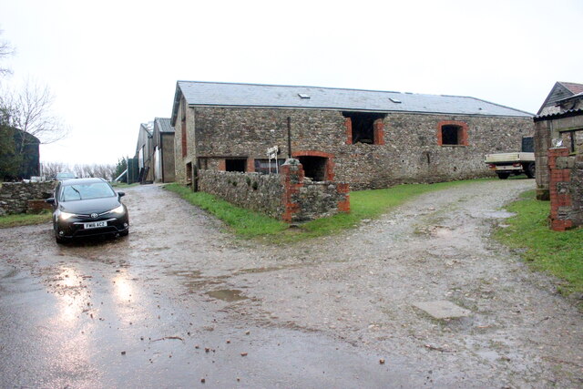
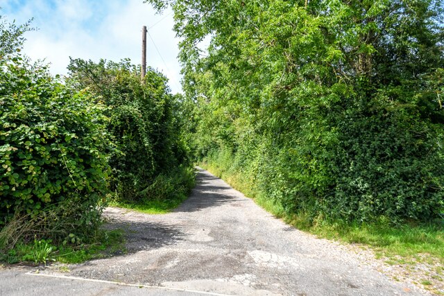
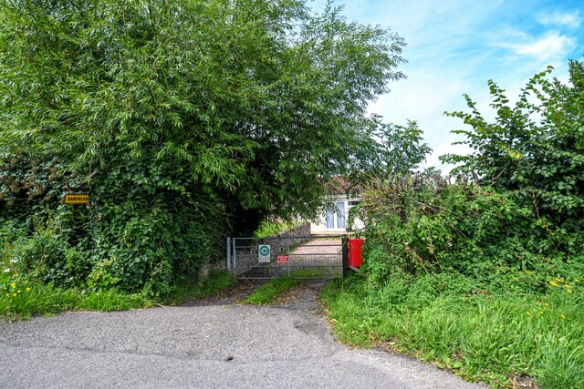
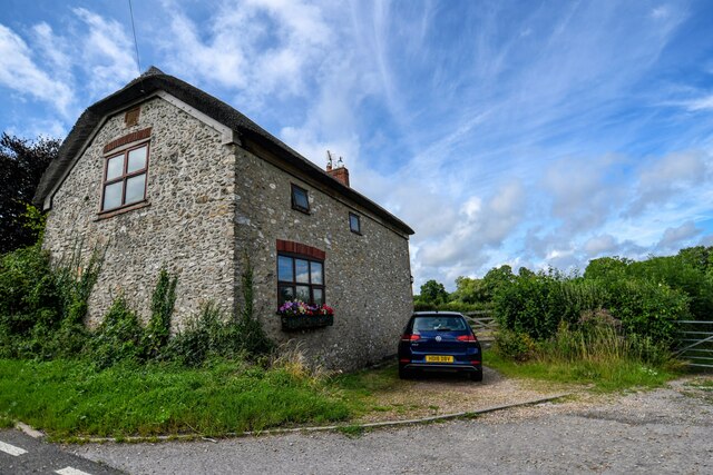
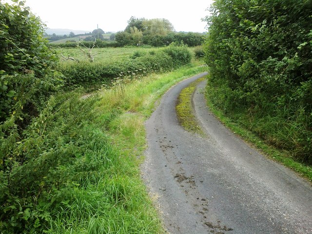
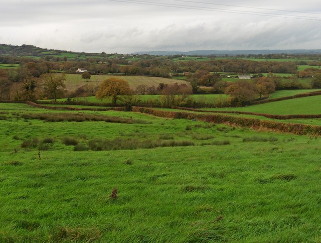
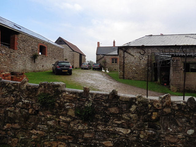
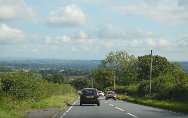
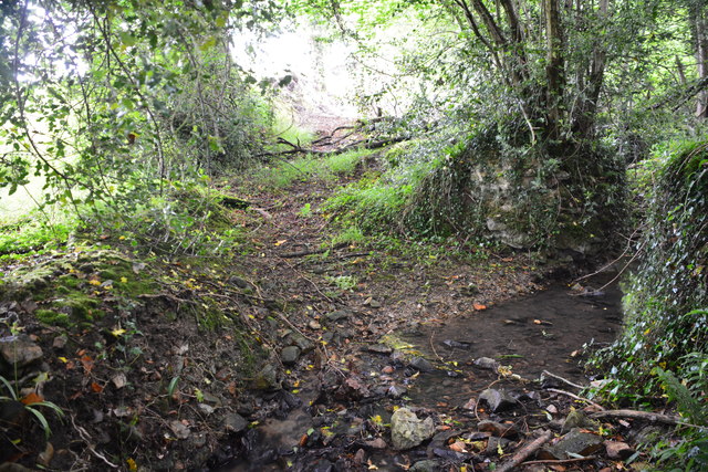
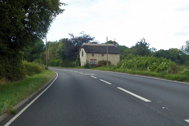
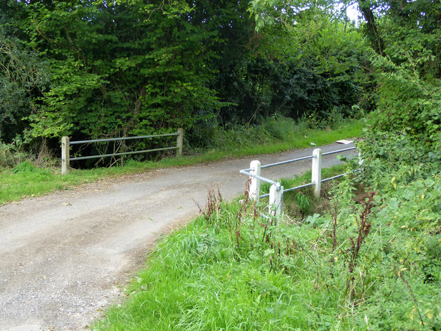
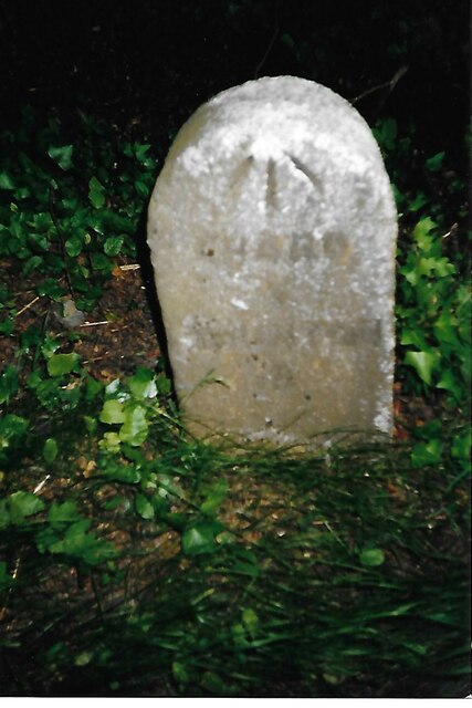
Alder Grove Copse Images

Images are sourced within 2km of 50.918776/-3.0179826 or Grid Reference ST2813. Thanks to Geograph Open Source API. All images are credited.

Sticklepath Farm A grey wet evening at SticklepathF arm on the minor road from Horton to Combe St Nicholas.
Sticklepath Farm
A grey wet evening at SticklepathF arm on the minor road from Horton to Combe St Nicholas.
Combe St Nicholas : Charmoor Drove Looking along Charmoor Drove.
Combe St Nicholas : Charmoor Drove
Looking along Charmoor Drove.
Combe St Nicholas : Oakfields Entry to a house off the A303.
Combe St Nicholas : Oakfields
Entry to a house off the A303.
Combe St Nicholas : House A house alongside the A303.
Combe St Nicholas : House
A house alongside the A303.
Road junction, Sticklepath
Farmland near Ham Hill
Sticklepath Farm
Sticklepath Farm
Ham Hill, A303 The A303 is a main trunk road running 92 miles between Basingstoke and Honiton. Along with the A30 and M3 it forms a major route between London and the South West. Much of the road is dual carriageway, but some stretches remain single and prone to congestion.

Wikipedia: <span class="nowrap"><a title="http://en.wikipedia.org/wiki/A303_road" rel="nofollow ugc noopener" href="http://en.wikipedia.org/wiki/A303_road">Link</a><img style="margin-left:2px;" alt="External link" title="External link - shift click to open in new window" src="https://s1.geograph.org.uk/img/external.png" width="10" height="10"/></span>
Ham Hill, A303
The A303 is a main trunk road running 92 miles between Basingstoke and Honiton. Along with the A30 and M3 it forms a major route between London and the South West. Much of the road is dual carriageway, but some stretches remain single and prone to congestion. Wikipedia: LinkExternal link
Sixteen Acre Lane Ford Although very overgrown this ford on Sixteen Acre Lane shows signs of use by farm vehicles.
Sixteen Acre Lane Ford
Although very overgrown this ford on Sixteen Acre Lane shows signs of use by farm vehicles.
Cottage on A303 Called 'The Barn', so perhaps it was one once.
Cottage on A303
Called 'The Barn', so perhaps it was one once.
Bridge on Priddles Lane The water crossed appears to be a tributary of the River Isle, which flows into the River Parrett to reach the sea in Bridgwater Bay.
Bridge on Priddles Lane
The water crossed appears to be a tributary of the River Isle, which flows into the River Parrett to reach the sea in Bridgwater Bay.
Old Milestone by road, Dommett Moor, Northeast of Buckland St Mary The Milestone is located beside road under trees on the East of the road.  Parish of Buckland St Mary (South Somerset District). Carved stone post, Chard limestone post design, erected by the Chard turnpike trust in the 19th Century, becoming unreadable. 

Lost since 2002 when surveyed.

Inscription reads:-   
CHARD / 5 / TAUNTON / 8  

Grade II listed. List Entry Number: 1039992 <span class="nowrap"><a title="https://historicengland.org.uk/listing/the-list/list-entry/1039992" rel="nofollow ugc noopener" href="https://historicengland.org.uk/listing/the-list/list-entry/1039992">Link</a><img style="margin-left:2px;" alt="External link" title="External link - shift click to open in new window" src="https://s1.geograph.org.uk/img/external.png" width="10" height="10"/></span> 

Milestone Society National ID: SO_TACH08
Old Milestone by road, Dommett Moor, Northeast of Buckland St Mary
The Milestone is located beside road under trees on the East of the road.  Parish of Buckland St Mary (South Somerset District). Carved stone post, Chard limestone post design, erected by the Chard turnpike trust in the 19th Century, becoming unreadable.  Lost since 2002 when surveyed. Inscription reads:- CHARD / 5 / TAUNTON / 8 Grade II listed. List Entry Number: 1039992 LinkExternal link Milestone Society National ID: SO_TACH08
Buckland St Mary : Road A road off Castlemain.
Buckland St Mary : Road
A road off Castlemain.
Buckland St Mary : Castlemain Looking along Castlemain.
Buckland St Mary : Castlemain
Looking along Castlemain.
Buckland St Mary : Castlemain Looking along Castlemain passing The Coach House.
Buckland St Mary : Castlemain
Looking along Castlemain passing The Coach House.
Buckland St Mary : Folly Lane Folly Lane off Castlemain.
Buckland St Mary : Folly Lane
Folly Lane off Castlemain.
Buckland St Mary : Track A track off Castlemain.
Buckland St Mary : Track
A track off Castlemain.
Buckland St Mary : La Campagna An Italian restaurant off the A303.
Buckland St Mary : La Campagna
An Italian restaurant off the A303.
Show me another place!

Alder Grove Copse is located at Grid Ref: ST2813 (Lat: 50.918776, Lng: -3.0179826)

Administrative County: Somerset

District: South Somerset

Police Authority: Avon and Somerset

What 3 Words

///dads.confusion.live. Near Chard, Somerset

Related Wikis

Freshmoor

Freshmoor (grid reference ST280125) is an 11.2 hectare (27.7 acre) biological Site of Special Scientific Interest in Somerset, notified in 1989. Freshmoor...

Church of St Mary, Buckland St Mary

The Anglican Church of St Mary in Buckland St Mary, Somerset, England was built in 1853-1863. It is a Grade II* listed building. == History == The church...

Buckland St Mary

Buckland St Mary is a village and parish in Somerset, England, situated 6 miles (9.7 km) to the west of Ilminster and 8 miles (12.9 km) south of Taunton...

Castle Neroche

Castle Neroche is a Norman motte-and-bailey castle on the site of an earlier hill fort in the parish of Curland, near Staple Fitzpaine, Somerset, England...

Long Lye

Long Lye (grid reference ST265122) is an 11.7 hectare (29.0 acre) biological Site of Special Scientific Interest at Buckland St Mary in the Blackdown Hills...

Long Lye Meadow

Long Lye Meadow (grid reference ST267119) is a 3.3 hectare biological Site of Special Scientific Interest at Buckland St Mary in the Blackdown Hills, Somerset...

Church of St Nicholas, Combe St Nicholas

The Church of St Nicholas in Combe St Nicholas, Somerset, England is Norman in origin, with the chancel and lower stage of the tower dating from the 13th...

Combe St Nicholas

Combe St Nicholas is a village and parish in Somerset, England, situated 2 miles (3.2 km) northwest of Chard and 10 miles (16 km) from Taunton in the South...

Nearby Amenities

Located within 500m of 50.918776,-3.0179826
Kerb: no
Lat/Long: 50.9150045/-3.0179921
The data included in this document is from www.openstreetmap.org. The data is made available under ODbL.

Have you been to Alder Grove Copse?

Leave your review of Alder Grove Copse below (or comments, questions and feedback).