Street Ash

Settlement in Somerset South Somerset

England

Street Ash

From Church Path Looking parallel to the lane from Combe Beacon to Slade's Cross. The cottage is also called Slade's Cross. The feature on the left seems to be a disused quarry. Taken from Church Path, which is footpath CH7/20.
From Church Path Credit: Derek Harper

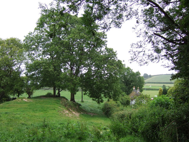
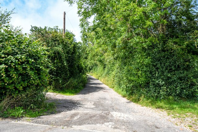
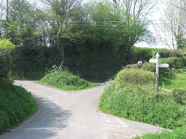
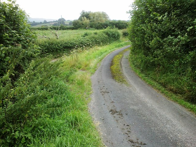
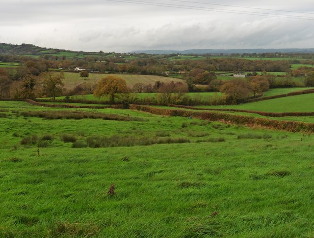
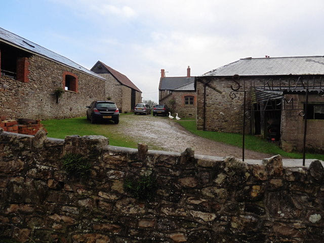
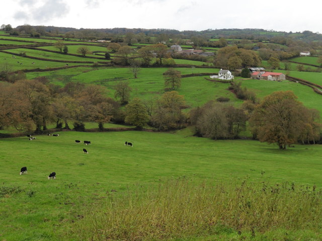
Street Ash is a small village located in the county of Somerset, England. Situated about 3 miles north of the town of Glastonbury, it falls within the Mendip district. The village is nestled in the picturesque countryside, surrounded by rolling hills and lush green fields.

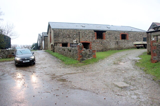
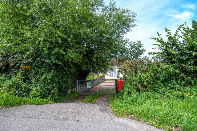
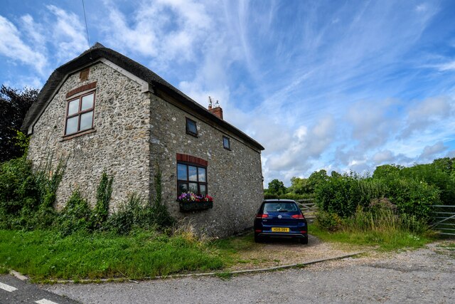
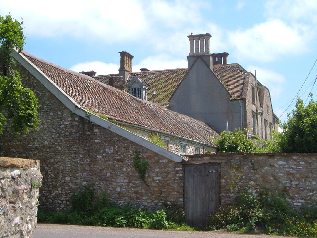
Street Ash is a predominantly residential area, characterized by its charming cottages and traditional architecture. The village retains its rural charm, providing a peaceful and idyllic setting for its residents. The community in Street Ash is tight-knit, with a strong sense of community spirit evident in various local initiatives and events.

Despite its small size, Street Ash offers several amenities to its residents. The village has a primary school, providing education for local children. Additionally, there are a few local shops and businesses catering to the daily needs of the community.

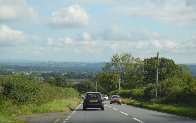
The surrounding natural beauty of Street Ash makes it an ideal location for outdoor enthusiasts. There are numerous walking and cycling trails in the area, allowing residents and visitors to explore the stunning countryside. The nearby Somerset Levels and Glastonbury Tor are popular attractions, attracting tourists from all over the country.

Overall, Street Ash is a peaceful and picturesque village, offering a tranquil lifestyle in the heart of Somerset. Its natural beauty, strong community spirit, and close proximity to larger towns make it an attractive place to live or visit.

If you have any feedback on the listing, please let us know in the comments section below.

Street Ash Images

Images are sourced within 2km of 50.912093/-3.015488 or Grid Reference ST2813. Thanks to Geograph Open Source API. All images are credited.

From Church Path Looking parallel to the lane from Combe Beacon to Slade's Cross. The cottage is also called Slade's Cross. The feature on the left seems to be a disused quarry. Taken from Church Path, which is footpath CH7/20.
From Church Path
Looking parallel to the lane from Combe Beacon to Slade's Cross. The cottage is also called Slade's Cross. The feature on the left seems to be a disused quarry. Taken from Church Path, which is footpath CH7/20.
Field at Sticklepath A field at the steep head of the valley of a tributary of the Isle, and consequently having good views.
Field at Sticklepath
A field at the steep head of the valley of a tributary of the Isle, and consequently having good views.
Field at Sticklepath A view from the opposite side of the lane down to Crock Street from <a href="https://www.geograph.org.uk/photo/2008762">ST3012 : Field at Sticklepath</a>.
Field at Sticklepath
A view from the opposite side of the lane down to Crock Street from ST3012 : Field at Sticklepath.
Sticklepath Farm A grey wet evening at SticklepathF arm on the minor road from Horton to Combe St Nicholas.
Sticklepath Farm
A grey wet evening at SticklepathF arm on the minor road from Horton to Combe St Nicholas.
Combe St Nicholas : Charmoor Drove Looking along Charmoor Drove.
Combe St Nicholas : Charmoor Drove
Looking along Charmoor Drove.
Combe St Nicholas : Oakfields Entry to a house off the A303.
Combe St Nicholas : Oakfields
Entry to a house off the A303.
Combe St Nicholas : House A house alongside the A303.
Combe St Nicholas : House
A house alongside the A303.
Sticklepath View from Combe Beacon Road on the final descent from the East Devon Plateau/Blackdown Hills area of high ground.
Sticklepath
View from Combe Beacon Road on the final descent from the East Devon Plateau/Blackdown Hills area of high ground.
Crossroads, Sticklepath Somewhat offset crossroads with a Somerset County Council fingerpost.
Crossroads, Sticklepath
Somewhat offset crossroads with a Somerset County Council fingerpost.
Blocked gate, Sticklepath There is no room in the yard
Blocked gate, Sticklepath
There is no room in the yard
Road junction, Sticklepath
Sticklepath Cross  According to local farmer. The junctions and islands where originally staggered so as to prevent farm wagons churning up the centre of the junction.
The word Stickle means steep.
Sticklepath Cross
According to local farmer. The junctions and islands where originally staggered so as to prevent farm wagons churning up the centre of the junction. The word Stickle means steep.
Farmland near Ham Hill
Minor road above Politmore Farm
Sticklepath Farm
Sticklepath Farm
Lane in Stickleback
Lane in Stickleback
Pasture, Sticklepath
Ham Hill, A303 The A303 is a main trunk road running 92 miles between Basingstoke and Honiton. Along with the A30 and M3 it forms a major route between London and the South West. Much of the road is dual carriageway, but some stretches remain single and prone to congestion.

Wikipedia: <span class="nowrap"><a title="http://en.wikipedia.org/wiki/A303_road" rel="nofollow ugc noopener" href="http://en.wikipedia.org/wiki/A303_road">Link</a><img style="margin-left:2px;" alt="External link" title="External link - shift click to open in new window" src="https://s1.geograph.org.uk/img/external.png" width="10" height="10"/></span>
Ham Hill, A303
The A303 is a main trunk road running 92 miles between Basingstoke and Honiton. Along with the A30 and M3 it forms a major route between London and the South West. Much of the road is dual carriageway, but some stretches remain single and prone to congestion. Wikipedia: LinkExternal link
Show me another place!

Street Ash is located at Grid Ref: ST2813 (Lat: 50.912093, Lng: -3.015488)

Administrative County: Somerset

District: South Somerset

Police Authority: Avon and Somerset

What 3 Words

///unzipped.regulator.eased. Near Chard, Somerset

Related Wikis

Freshmoor

Freshmoor (grid reference ST280125) is an 11.2 hectare (27.7 acre) biological Site of Special Scientific Interest in Somerset, notified in 1989. Freshmoor...

Church of St Mary, Buckland St Mary

The Anglican Church of St Mary in Buckland St Mary, Somerset, England was built in 1853-1863. It is a Grade II* listed building. == History == The church...

Buckland St Mary

Buckland St Mary is a village and parish in Somerset, England, situated 6 miles (9.7 km) to the west of Ilminster and 8 miles (12.9 km) south of Taunton...

Long Lye Meadow

Long Lye Meadow (grid reference ST267119) is a 3.3 hectare biological Site of Special Scientific Interest at Buckland St Mary in the Blackdown Hills, Somerset...

Long Lye

Long Lye (grid reference ST265122) is an 11.7 hectare (29.0 acre) biological Site of Special Scientific Interest at Buckland St Mary in the Blackdown Hills...

Combe St Nicholas

Combe St Nicholas is a village and parish in Somerset, England, situated 2 miles (3.2 km) northwest of Chard and 10 miles (16 km) from Taunton in the South...

Church of St Nicholas, Combe St Nicholas

The Church of St Nicholas in Combe St Nicholas, Somerset, England is Norman in origin, with the chancel and lower stage of the tower dating from the 13th...
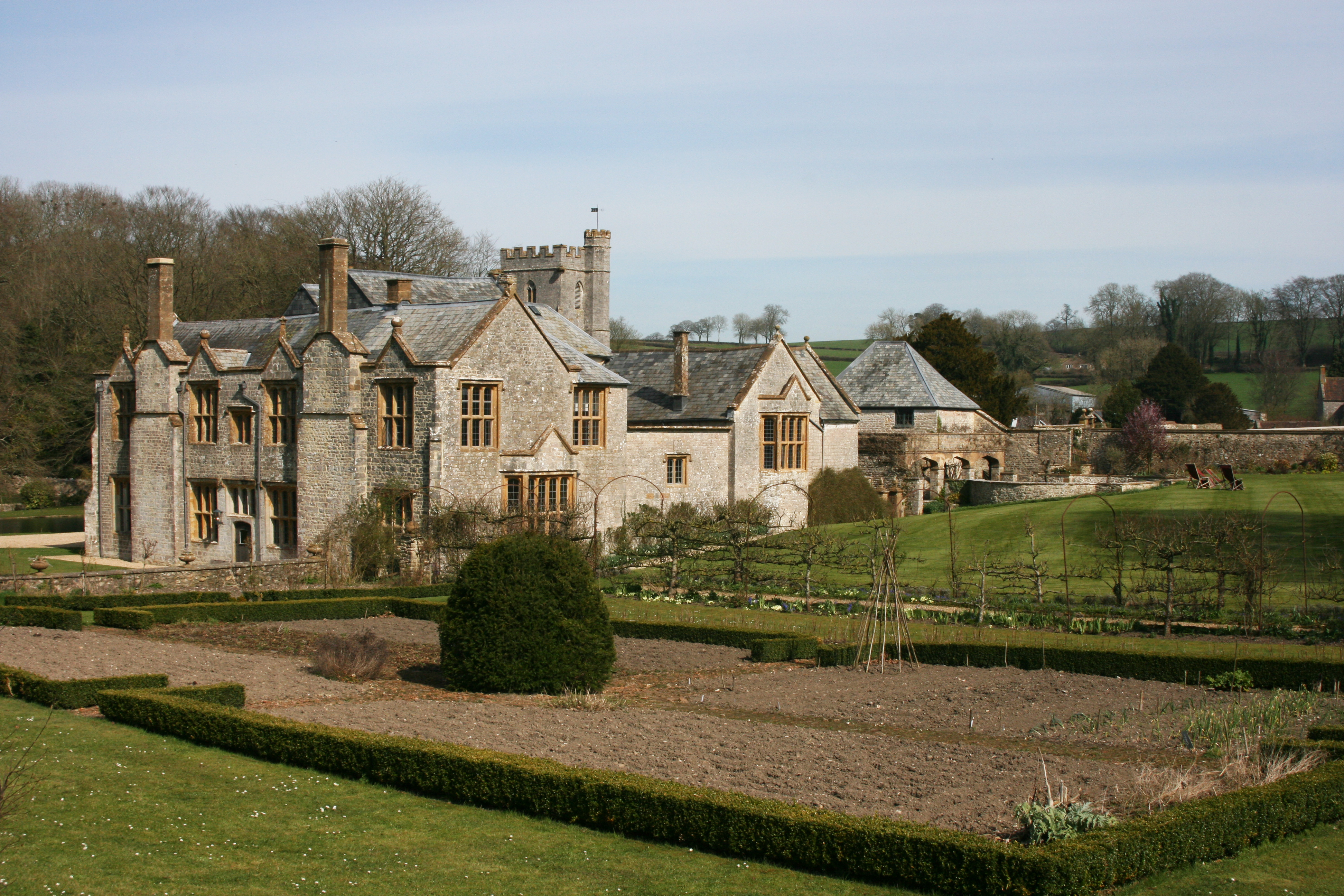
Whitestaunton Manor

Whitestaunton Manor in the village of Whitestaunton, Somerset, England was built in the 15th century as a Hall house and has been designated as a Grade...

Nearby Amenities

Located within 500m of 50.912093,-3.015488
Kerb: no
Lat/Long: 50.9150045/-3.0179921
Street Ash
Place: hamlet
Lat/Long: 50.9129519/-3.0175688
The data included in this document is from www.openstreetmap.org. The data is made available under ODbL.

Have you been to Street Ash?

Leave your review of Street Ash below (or comments, questions and feedback).