Brogyntyn Terrace Wood

Wood, Forest in Shropshire

England

Brogyntyn Terrace Wood

Vyrnwy Aqueduct Oswestry Reservoir This is the inlet to the reservoir, part of the Lake Vyrnwy to Liverpool underground aqueduct
Vyrnwy Aqueduct Oswestry Reservoir Credit: Mr M Evison

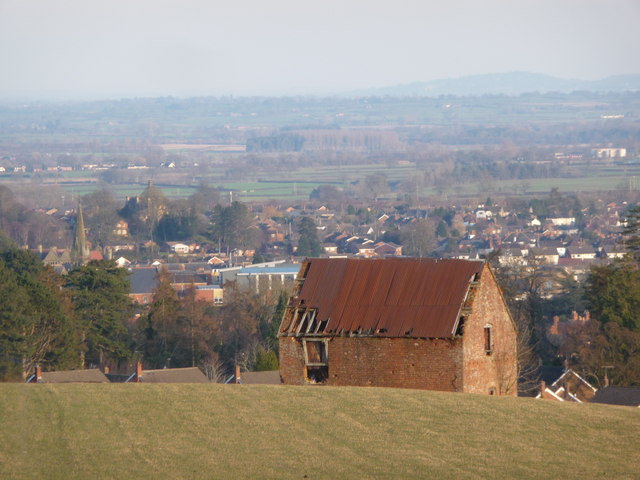
Brogyntyn Terrace Wood is a picturesque forest located in Shropshire, England. Covering an area of approximately 50 acres, this woodland is known for its tranquil ambiance and stunning natural beauty. The wood is situated on the outskirts of the village of Brogyntyn and is easily accessible by foot or car.

The forest is home to a diverse range of flora and fauna, making it a haven for nature lovers and wildlife enthusiasts. The wood is predominantly composed of broadleaf trees such as oak, beech, and birch, which provide a lush green canopy during the summer months. The forest floor is carpeted with a variety of wildflowers, including bluebells and primroses, adding bursts of color to the landscape.

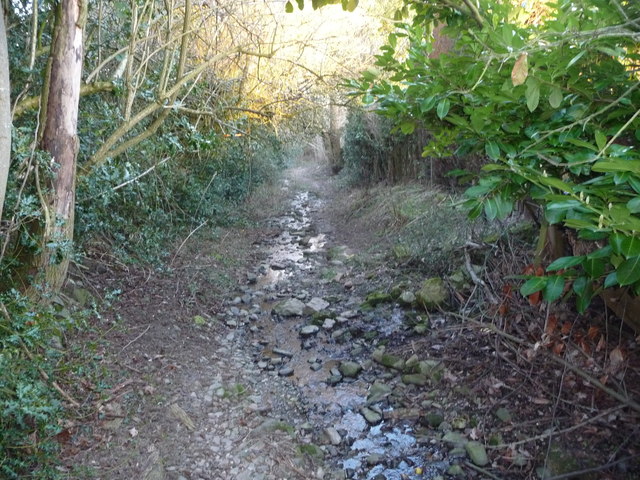
Visitors to Brogyntyn Terrace Wood can enjoy a leisurely stroll along its well-maintained pathways, which meander through the forest and offer breathtaking views of the surrounding countryside. The wood also features several picnic areas, allowing visitors to relax and enjoy a meal amidst the peaceful surroundings.

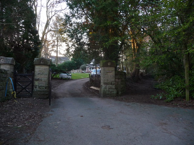
In addition to its natural beauty, Brogyntyn Terrace Wood holds historical significance. The wood is believed to have been part of the estate of Brogyntyn Hall, a grand mansion that once stood nearby. Although the hall itself no longer exists, the wood serves as a reminder of its former glory.

Overall, Brogyntyn Terrace Wood is a must-visit destination for those seeking a tranquil escape amidst nature. With its diverse wildlife, stunning scenery, and historical charm, this forest offers a truly immersive experience for all who venture within its boundaries.

If you have any feedback on the listing, please let us know in the comments section below.

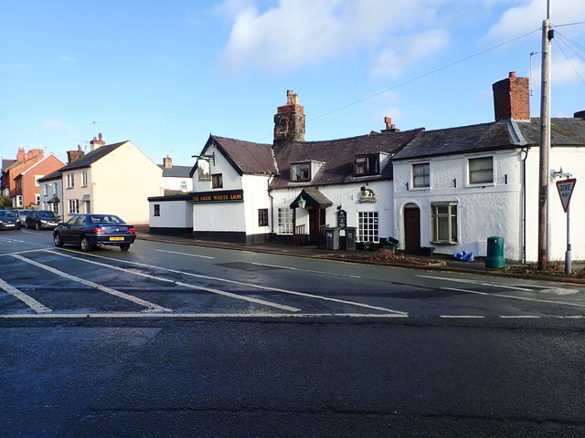
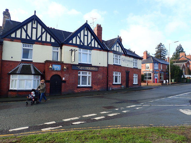
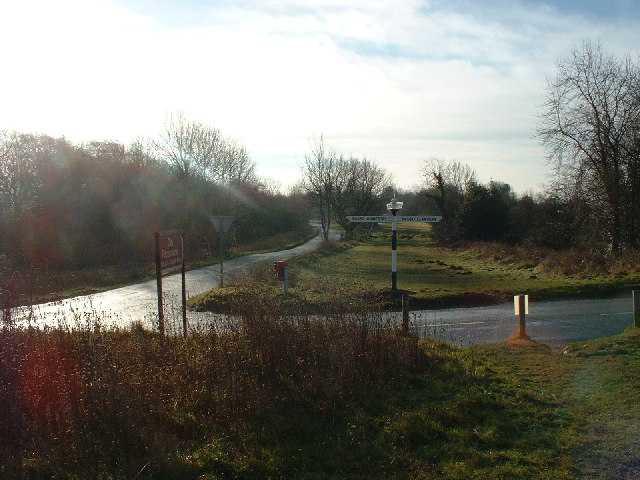
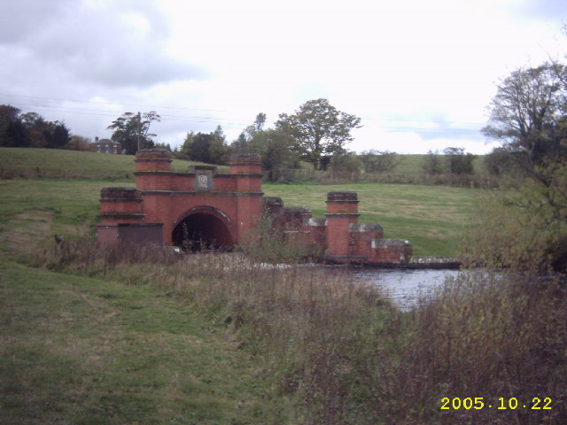
Brogyntyn Terrace Wood Images

Images are sourced within 2km of 52.874576/-3.0820079 or Grid Reference SJ2731. Thanks to Geograph Open Source API. All images are credited.

Vyrnwy Aqueduct Oswestry Reservoir This is the inlet to the reservoir, part of the Lake Vyrnwy to Liverpool underground aqueduct
Vyrnwy Aqueduct Oswestry Reservoir
This is the inlet to the reservoir, part of the Lake Vyrnwy to Liverpool underground aqueduct
Oswestry Reservoir Overflow Part of the Vyrnwy Aqueduct
Oswestry Reservoir Overflow
Part of the Vyrnwy Aqueduct
View over the Water Works outside Oswestry A rare and fascinating sight, of filter beds reflecting the sky.
View over the Water Works outside Oswestry
A rare and fascinating sight, of filter beds reflecting the sky.
Old barn in fields near Oswestry Water Works This old barn sits isolated in hillside fields near the water works and has great views over much of the surrounding landscape.
Old barn in fields near Oswestry Water Works
This old barn sits isolated in hillside fields near the water works and has great views over much of the surrounding landscape.
Old barn near Oswestry This old barn looks very neglected.
Old barn near Oswestry
This old barn looks very neglected.
Sunken lane in Oswestry This old pathway seems of great age and is now surrounded by modern housing estates.
Sunken lane in Oswestry
This old pathway seems of great age and is now surrounded by modern housing estates.
Old gateway pillars in Oswestry I assume that the pillars demarcated the boundary of an old house estate or grounds, now superseded by modern housing estates.
Old gateway pillars in Oswestry
I assume that the pillars demarcated the boundary of an old house estate or grounds, now superseded by modern housing estates.
View to Cwmsychtyn farm near Oswestry A fairly typical farm of this area, smallish, private and sheltered.
View to Cwmsychtyn farm near Oswestry
A fairly typical farm of this area, smallish, private and sheltered.
Passing place in Bwlch Lane
Farm track off Bwlch Lane
Ordnance Survey Cut Mark This OS cut mark can be found on the wall north side of Mount Road. It marks a point 145.813m above mean sea level.
Ordnance Survey Cut Mark
This OS cut mark can be found on the wall north side of Mount Road. It marks a point 145.813m above mean sea level.
The Olde White Lion Inn Built in the C17th, this was formerly a house. It is Grade II listed.
The Olde White Lion Inn
Built in the C17th, this was formerly a house. It is Grade II listed.
The Greyhound - Sports and Ale House On Mount Road, and opposite the Old White Lion inn.
The Greyhound - Sports and Ale House
On Mount Road, and opposite the Old White Lion inn.
Oswestry Old Racecourse Now a popular walking spot, the racecourse was used until the mid 1800s.
Oswestry Old Racecourse
Now a popular walking spot, the racecourse was used until the mid 1800s.
Oswestry Reservoir This is the inlet to the reservoir, part of the Lake Vyrnwy to Liverpool underground aqueduct
Oswestry Reservoir
This is the inlet to the reservoir, part of the Lake Vyrnwy to Liverpool underground aqueduct
Janus Horse On Oswestry's Old Racecourse
Closeup of signpost at Oswestry Old Racecourse All the signposts in this area are of similar design, with the area name on the polomint (tm) at the top. I mention this because I think the signpost has a racecourse feel about it.
Closeup of signpost at Oswestry Old Racecourse
All the signposts in this area are of similar design, with the area name on the polomint (tm) at the top. I mention this because I think the signpost has a racecourse feel about it.
Oswestry Old Racecourse This old racecourse must have a lot of history being in a border area, but I was unable to find any information on it, except <a href="https://www.geograph.org.uk/photo/9484">SJ2530 : Oswestry Old Racecourse</a>.
The area is now used as a commons and a local dog walker remarked that it looks different every day of the year. Ponds there are being actively managed, to help wildlife.
Oswestry Old Racecourse
This old racecourse must have a lot of history being in a border area, but I was unable to find any information on it, except SJ2530 : Oswestry Old Racecourse. The area is now used as a commons and a local dog walker remarked that it looks different every day of the year. Ponds there are being actively managed, to help wildlife.
Show me another place!

Brogyntyn Terrace Wood is located at Grid Ref: SJ2731 (Lat: 52.874576, Lng: -3.0820079)

Unitary Authority: Shropshire

Police Authority: West Mercia

What 3 Words

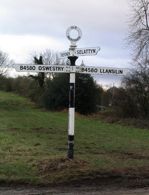
///even.convinces.sheds. Near Oswestry, Shropshire

Related Wikis

Castle Brogyntyn

Brogyntyn Castle is a ruin of a native Welsh castle found close to Selattyn, Shropshire, England, on the Anglo-Welsh border. It is thought the castle...

Brogyntyn

Brogyntyn, or Porkington, is a mansion in the parish of Selatyn to the north-west of Oswestry in Shropshire, England. Brogyntyn Hall was the home of the...
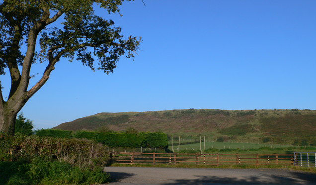
Oswestry Uplands

The Oswestry Uplands are a small natural region in the English county of Shropshire on the border with Wales. The Oswestry Uplands have been designated...
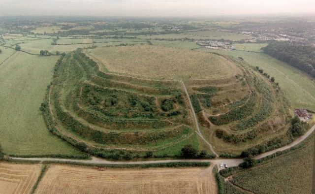
Old Oswestry

Old Oswestry (Welsh: Hen Ddinas) is a large early Iron Age hill fort in the Welsh Marches near Oswestry in north west Shropshire, England. The earthworks...

Llawnt

Llawnt is a village in Shropshire, England. The name comes from Middle Welsh, borrowing from the English 'lawn'. The meaning in this case is 'green' (named...
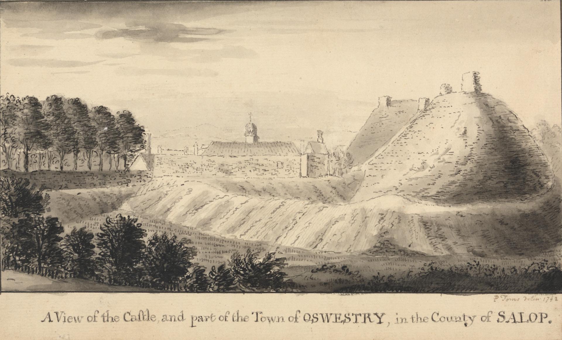
Oswestry Castle

Oswestry Castle is a medieval castle in the town of Oswestry, Shropshire, England. The castle has also been known as, or recorded in historical documents...

Battle of Oswestry

The Battle of Oswestry took place during the First English Civil War on 22-23 June 1644 when Parliamentarians led by Lord Denbigh attacked and took control...

Borough of Oswestry

The Borough of Oswestry was a local government district with borough status in Shropshire, England, from medieval times until its abolition in 2009. Until...

Nearby Amenities

Located within 500m of 52.874576,-3.0820079
Brogyntyn Castle
Building: ruins
Place: locality
Lat/Long: 52.8749087/-3.0810161
The data included in this document is from www.openstreetmap.org. The data is made available under ODbL.

Have you been to Brogyntyn Terrace Wood?

Leave your review of Brogyntyn Terrace Wood below (or comments, questions and feedback).