Castle Plantation

Wood, Forest in Somerset Somerset West and Taunton

England

Castle Plantation

Former post office, Curland The scene is shown leafless in <a href="https://www.geograph.org.uk/photo/4336081">ST2717 : Village Green, Curland</a>. As the sign on the left hints, the triangular green is one-way on its north and west sides. Maps from 1903 to 1993 show the building as a post office, the older ones naming it as Stoneleigh.
Former post office, Curland Credit: Derek Harper

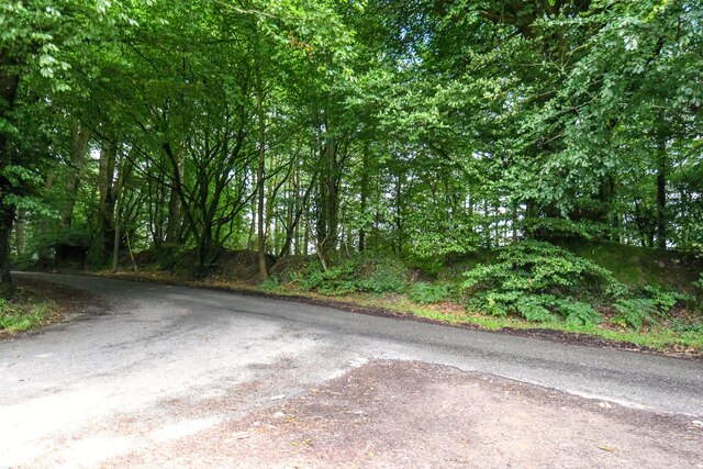
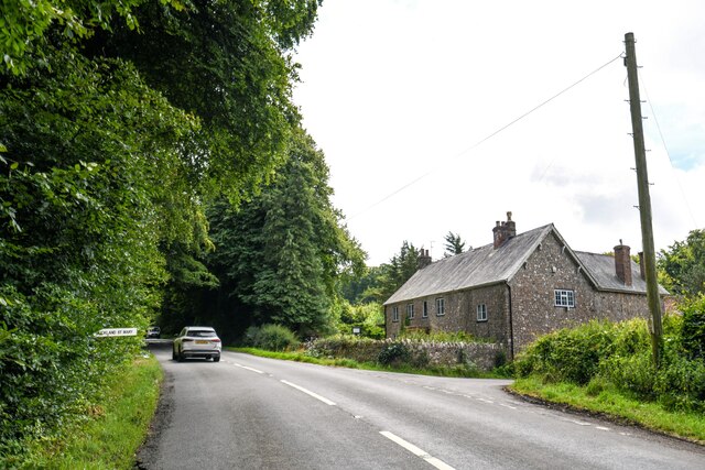
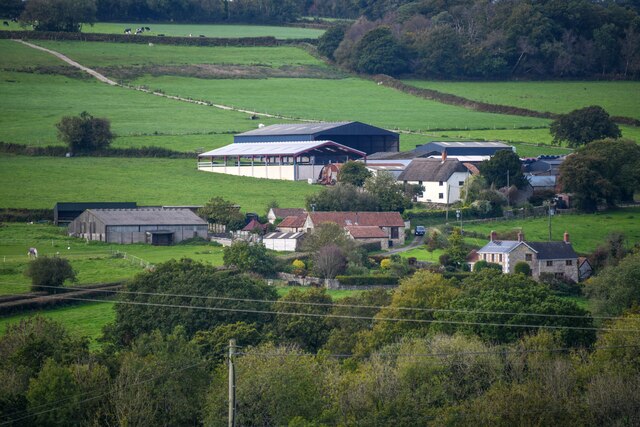
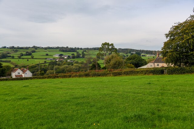
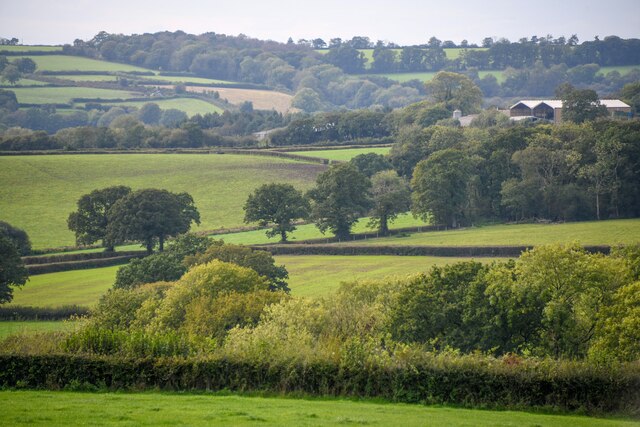
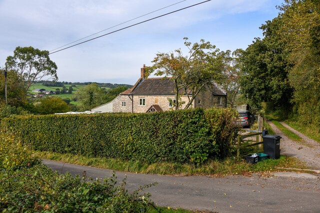
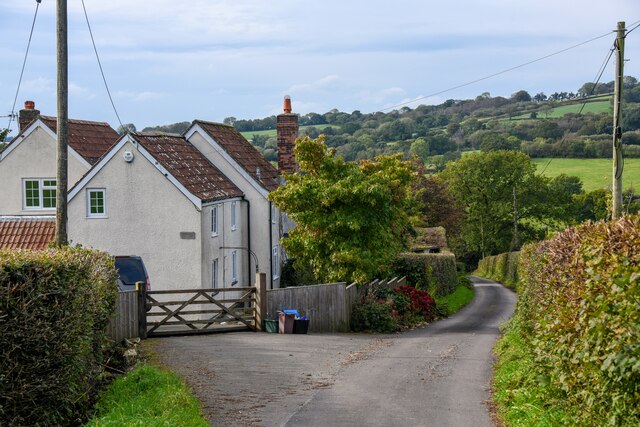
Castle Plantation is a historic woodland located in Somerset, England. Situated in the heart of the county, the plantation covers an area of approximately 200 acres and is renowned for its scenic beauty and rich biodiversity. The woodland is nestled amidst rolling hills and is surrounded by picturesque landscapes, offering visitors a tranquil escape from the bustling city life.

The plantation is primarily composed of native broadleaf trees such as oak, beech, and ash, which have been carefully managed to maintain the natural balance of the ecosystem. These trees provide a perfect habitat for a variety of wildlife, including deer, foxes, badgers, and a diverse range of bird species.

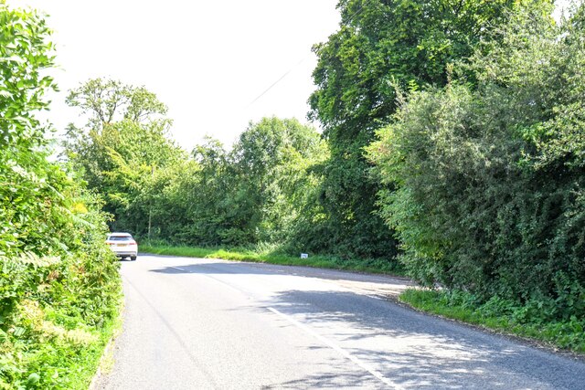
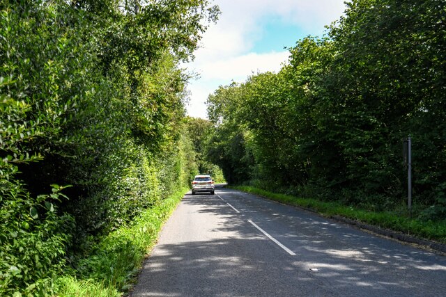
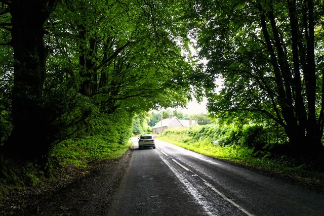
Visitors to Castle Plantation can explore the extensive network of well-maintained walking trails that crisscross the woodland, allowing them to delve deeper into the natural wonders of the plantation. The trails lead to various points of interest, including a small lake and a picturesque waterfall, where visitors can admire the beauty of nature up close.

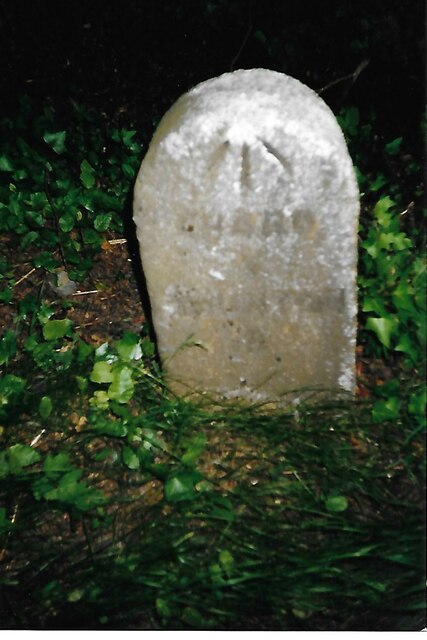
The plantation is also home to a number of historical landmarks, including the ruins of an ancient castle that dates back to the medieval period. These remnants serve as a reminder of the rich history and heritage of the area, adding an extra layer of intrigue to the visitor experience.

Castle Plantation is a popular destination for nature enthusiasts, hikers, and history buffs alike, offering a perfect blend of natural beauty and historical significance. Whether one is seeking a peaceful retreat or an educational outing, this woodland sanctuary in Somerset never fails to captivate and inspire.

If you have any feedback on the listing, please let us know in the comments section below.

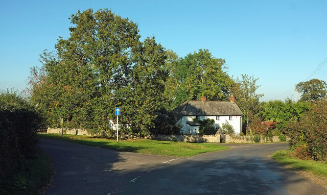
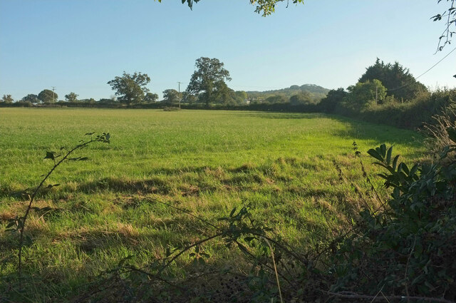
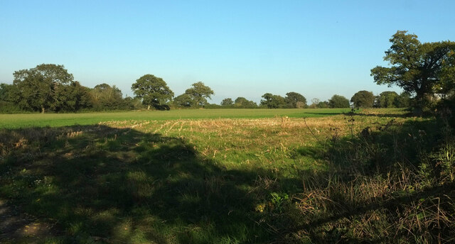
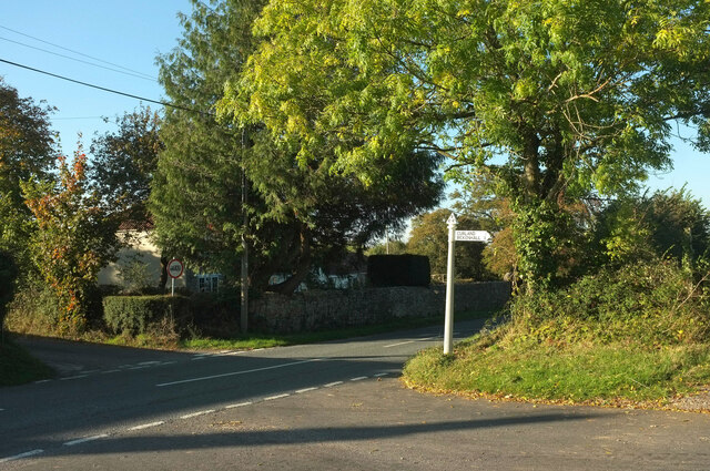
Castle Plantation Images

Images are sourced within 2km of 50.9397/-3.0365721 or Grid Reference ST2716. Thanks to Geograph Open Source API. All images are credited.

Former post office, Curland The scene is shown leafless in <a href="https://www.geograph.org.uk/photo/4336081">ST2717 : Village Green, Curland</a>. As the sign on the left hints, the triangular green is one-way on its north and west sides. Maps from 1903 to 1993 show the building as a post office, the older ones naming it as Stoneleigh.
Former post office, Curland
The scene is shown leafless in ST2717 : Village Green, Curland. As the sign on the left hints, the triangular green is one-way on its north and west sides. Maps from 1903 to 1993 show the building as a post office, the older ones naming it as Stoneleigh.
Field by Bulford crossroads On the southeast side of the junction shown at <a title="https://www.geograph.org.uk/search.php?i=143407630" href="https://www.geograph.org.uk/search.php?i=143407630">Link</a> . In the distance is the hilltop at Castle Neroche.
Field by Bulford crossroads
On the southeast side of the junction shown at Link . In the distance is the hilltop at Castle Neroche.
Field near Bulford From the crossroads shown in <a href="https://www.geograph.org.uk/photo/2354095">ST2617 : Turning for Curland and Bickenhall</a>.
Field near Bulford
From the crossroads shown in ST2617 : Turning for Curland and Bickenhall.
Old Milestone by road, Dommett Moor, Northeast of Buckland St Mary The Milestone is located beside road under trees on the East of the road.  Parish of Buckland St Mary (South Somerset District). Carved stone post, Chard limestone post design, erected by the Chard turnpike trust in the 19th Century, becoming unreadable. 

Lost since 2002 when surveyed.

Inscription reads:-   
CHARD / 5 / TAUNTON / 8  

Grade II listed. List Entry Number: 1039992 <span class="nowrap"><a title="https://historicengland.org.uk/listing/the-list/list-entry/1039992" rel="nofollow ugc noopener" href="https://historicengland.org.uk/listing/the-list/list-entry/1039992">Link</a><img style="margin-left:2px;" alt="External link" title="External link - shift click to open in new window" src="https://s1.geograph.org.uk/img/external.png" width="10" height="10"/></span> 

Milestone Society National ID: SO_TACH08
Old Milestone by road, Dommett Moor, Northeast of Buckland St Mary
The Milestone is located beside road under trees on the East of the road.  Parish of Buckland St Mary (South Somerset District). Carved stone post, Chard limestone post design, erected by the Chard turnpike trust in the 19th Century, becoming unreadable.  Lost since 2002 when surveyed. Inscription reads:- CHARD / 5 / TAUNTON / 8 Grade II listed. List Entry Number: 1039992 LinkExternal link Milestone Society National ID: SO_TACH08
Staple Fitpaine : Castlemain Looking along the road.
Staple Fitpaine : Castlemain
Looking along the road.
Staple Fitpaine : Castlemain Looking along Castlemain.
Staple Fitpaine : Castlemain
Looking along Castlemain.
Curland : Road A road off Castlemain.
Curland : Road
A road off Castlemain.
Buckland St Mary : Road A road off Castlemain.
Buckland St Mary : Road
A road off Castlemain.
Buckland St Mary : Castlemain Looking along Castlemain.
Buckland St Mary : Castlemain
Looking along Castlemain.
Buckland St Mary : Castlemain Looking along Castlemain passing The Coach House.
Buckland St Mary : Castlemain
Looking along Castlemain passing The Coach House.
Buckland St Mary : Countryside Scenery Looking towards Higher Blindmoor Farm.
Buckland St Mary : Countryside Scenery
Looking towards Higher Blindmoor Farm.
Buckland St Mary : Grassy Field A field with a right of way through it.
Buckland St Mary : Grassy Field
A field with a right of way through it.
Buckland St Mary : Countryside Scenery Looking out across the countryside.
Buckland St Mary : Countryside Scenery
Looking out across the countryside.
Buckland St Mary : Pound Lane Pound Lane with Little Thatch in view.
Buckland St Mary : Pound Lane
Pound Lane with Little Thatch in view.
Buckland St Mary : Pound Lane Pound Lane passing Paddock Cottage.
Buckland St Mary : Pound Lane
Pound Lane passing Paddock Cottage.
Buckland St Mary : Pound Lane Looking along Pound Lane.
Buckland St Mary : Pound Lane
Looking along Pound Lane.
Buckland St Mary : Pound Lane Passing Stonebyres and Rowsell Cottage.
Buckland St Mary : Pound Lane
Passing Stonebyres and Rowsell Cottage.
Show me another place!

Castle Plantation is located at Grid Ref: ST2716 (Lat: 50.9397, Lng: -3.0365721)

Administrative County: Somerset

District: Somerset West and Taunton

Police Authority: Avon and Somerset

What 3 Words

///quench.cheetahs.intrigued. Near Chard, Somerset

Nearby Locations

Castle Plantation

Related Wikis

Castle Neroche

Castle Neroche is a Norman motte-and-bailey castle on the site of an earlier hill fort in the parish of Curland, near Staple Fitzpaine, Somerset, England...

All Saints Church, Curland

All Saints Church is a former Church of England parish church in Curland, Somerset, England. Designed by Benjamin Ferrey, it was built in 1855–56 to replace...

Curland

Curland is a village and civil parish in Somerset, England, situated 6 miles (9.7 km) south of Taunton. The village has a population of 225. The parish...

Ruttersleigh

Ruttersleigh (grid reference ST250165) is a 97 hectares (240 acres) biological Site of Special Scientific Interest between Buckland St Mary and Staple...

William Portman Almshouses

The William Portman Almshouses in Staple Fitzpaine, Somerset, England was built in 1643. It is a Grade II* listed building. == History == The almshouses...

Bickenhall

Bickenhall is a hamlet and parish in Somerset, England, situated 5 miles (8.0 km) south east of Taunton. The parish, which includes the hamlet of Batten...

Staple Fitzpaine

Staple Fitzpaine is a village and civil parish in Somerset, England, situated 5 miles (8.0 km) south of Taunton. The village has a population of 189 and...

Church of St Mary, Buckland St Mary

The Anglican Church of St Mary in Buckland St Mary, Somerset, England was built in 1853-1863. It is a Grade II* listed building. == History == The church...

Nearby Amenities

Located within 500m of 50.9397,-3.0365721
Castle Neroche
Archaeological Site: fortification
Historic: archaeological_site
Tourism: attraction
Lat/Long: 50.9358859/-3.0358751
Castle Neroche
Historic: castle
Lat/Long: 50.9371962/-3.0382593
The data included in this document is from www.openstreetmap.org. The data is made available under ODbL.

Have you been to Castle Plantation?

Leave your review of Castle Plantation below (or comments, questions and feedback).