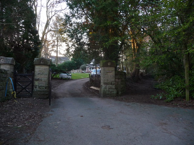
Brogyntyn Park
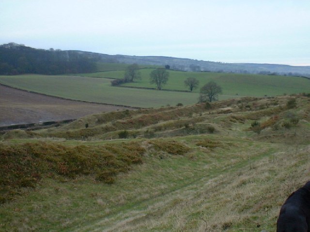
Downs, Moorland in Shropshire
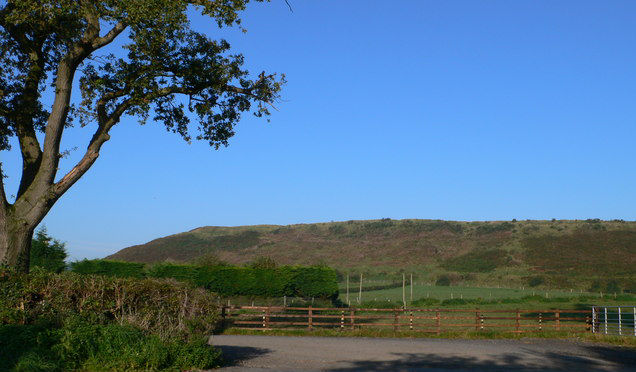
England
Brogyntyn Park
Brogyntyn Park is a historic estate located in Shropshire, England. Situated amidst the picturesque Downs and Moorland, this sprawling property covers a vast expanse of land and offers breathtaking views of the surrounding countryside. The park is renowned for its natural beauty and serene ambiance, making it a popular destination for nature enthusiasts and outdoor enthusiasts alike.
Dating back to the 17th century, Brogyntyn Park boasts a rich history and is associated with several notable figures. The estate was originally owned by the distinguished Myddelton family and later passed on to the renowned Ormsby-Gore family. The Ormsby-Gore family played a significant role in the estate's development, adding elegant features such as a grand mansion, formal gardens, and a picturesque lake.
The park is home to a diverse range of flora and fauna, with expansive meadows, woodlands, and rolling hills. Visitors can explore the extensive network of walking trails that weave through the estate, allowing them to immerse themselves in the tranquil surroundings and discover hidden gems along the way. The park also offers opportunities for various outdoor activities such as picnicking, birdwatching, and photography.
Brogyntyn Park is not only a natural paradise but also serves as a cultural hub. The estate hosts regular events, including open-air concerts, art exhibitions, and cultural festivals, attracting visitors from near and far. Additionally, the park features a visitor center that provides information about the estate's history, wildlife, and conservation efforts.
Overall, Brogyntyn Park is a captivating destination that seamlessly blends natural beauty, rich history, and cultural vibrancy, making it a must-visit location for anyone seeking a tranquil retreat in the heart of Shropshire.
If you have any feedback on the listing, please let us know in the comments section below.
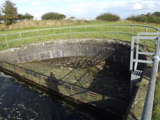
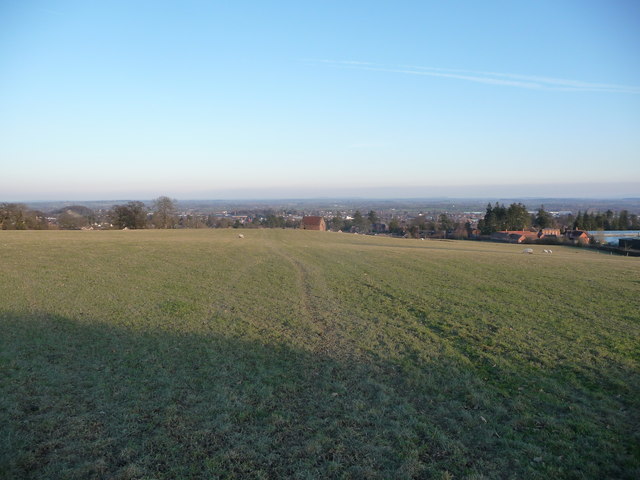
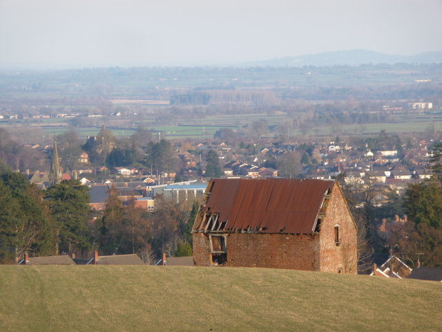
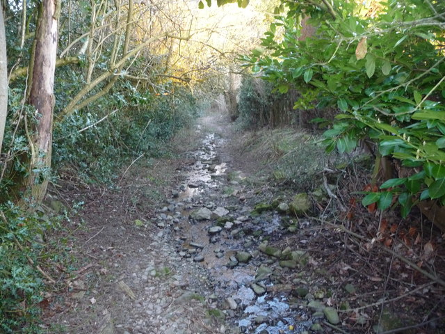
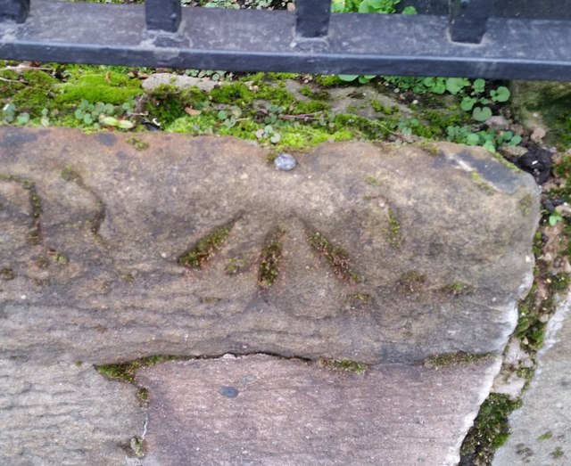
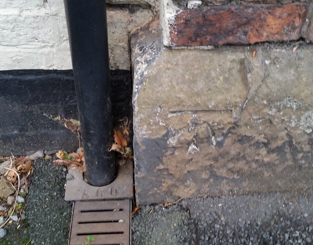
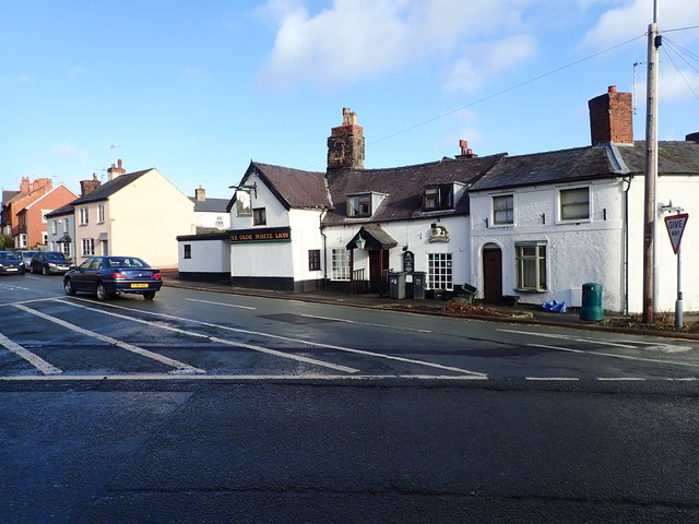
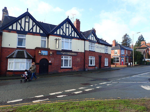
Brogyntyn Park Images
Images are sourced within 2km of 52.876081/-3.0746755 or Grid Reference SJ2731. Thanks to Geograph Open Source API. All images are credited.


Brogyntyn Park is located at Grid Ref: SJ2731 (Lat: 52.876081, Lng: -3.0746755)
Unitary Authority: Shropshire
Police Authority: West Mercia
What 3 Words
///climber.assembles.sleep. Near Oswestry, Shropshire
Nearby Locations
Related Wikis

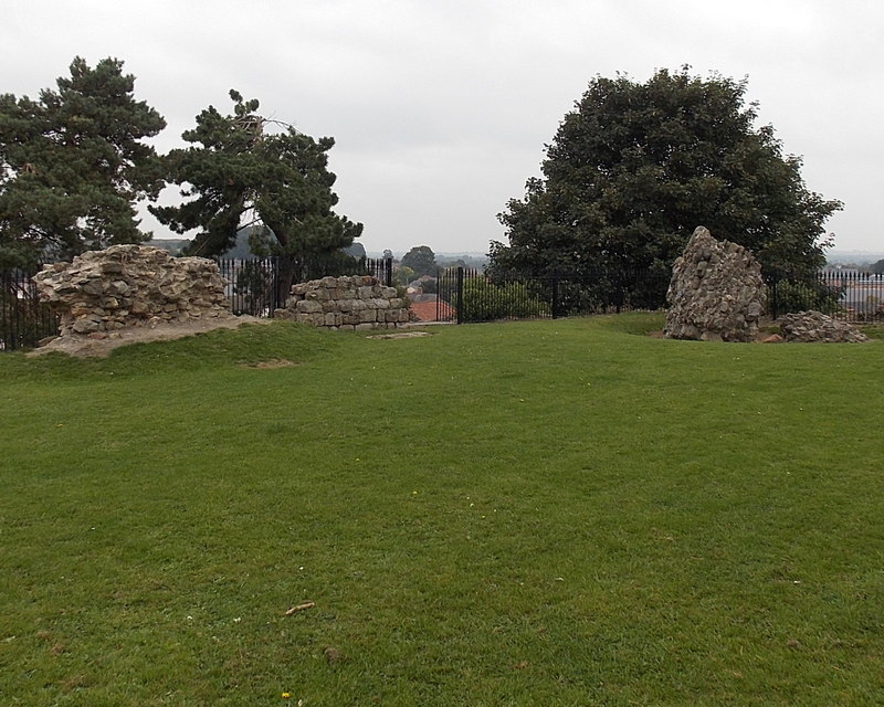
Castle Brogyntyn
Brogyntyn Castle is a ruin of a native Welsh castle found close to Selattyn, Shropshire, England, on the Anglo-Welsh border. It is thought the castle...

Brogyntyn
Brogyntyn, or Porkington, is a mansion in the parish of Selatyn to the north-west of Oswestry in Shropshire, England. Brogyntyn Hall was the home of the...
Oswestry Uplands
The Oswestry Uplands are a small natural region in the English county of Shropshire on the border with Wales. The Oswestry Uplands have been designated...
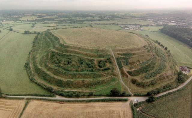
Old Oswestry
Old Oswestry (Welsh: Hen Ddinas) is a large early Iron Age hill fort in the Welsh Marches near Oswestry in north west Shropshire, England. The earthworks...
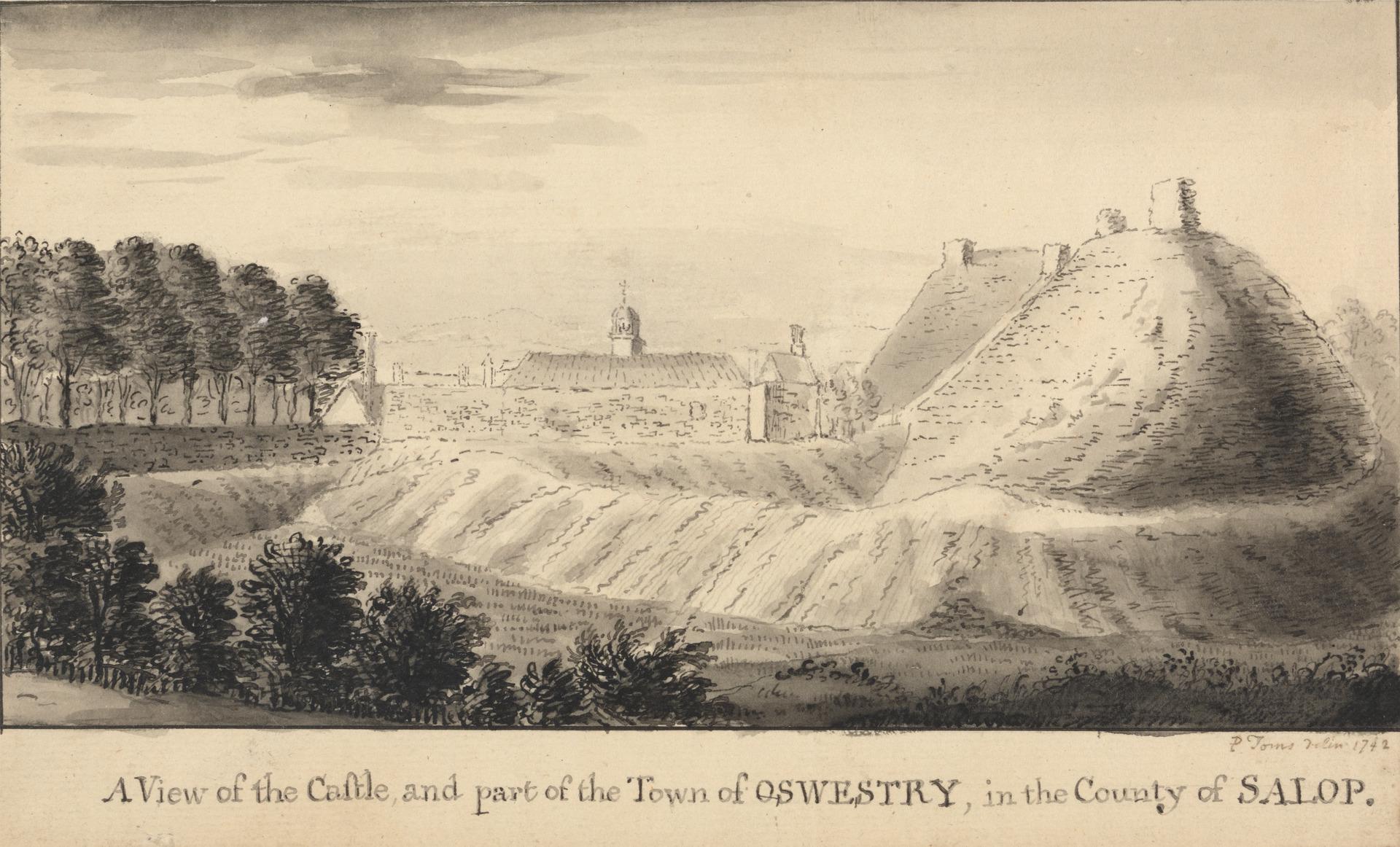
Oswestry Castle
Oswestry Castle is a medieval castle in the town of Oswestry, Shropshire, England. The castle has also been known as, or recorded in historical documents...
Battle of Oswestry
The Battle of Oswestry took place during the First English Civil War on 22-23 June 1644 when Parliamentarians led by Lord Denbigh attacked and took control...

Borough of Oswestry
The Borough of Oswestry was a local government district with borough status in Shropshire, England, from medieval times until its abolition in 2009. Until...
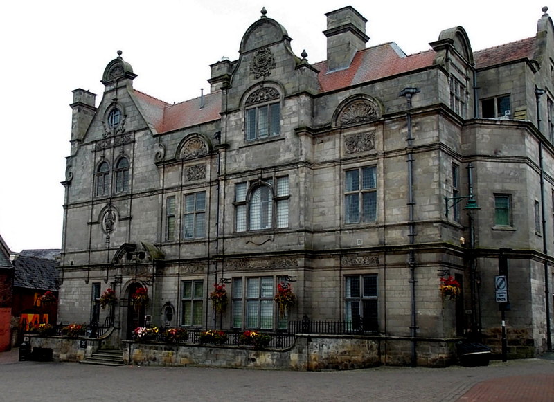
Oswestry Guildhall
Oswestry Guildhall is a municipal building in Bailey Head in Oswestry, Shropshire, England. The structure, which was the meeting place of Oswestry Municipal...
Nearby Amenities
Located within 500m of 52.876081,-3.0746755Have you been to Brogyntyn Park?
Leave your review of Brogyntyn Park below (or comments, questions and feedback).