Castlehead Wood
Wood, Forest in Cumberland Allerdale
England
Castlehead Wood
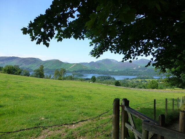
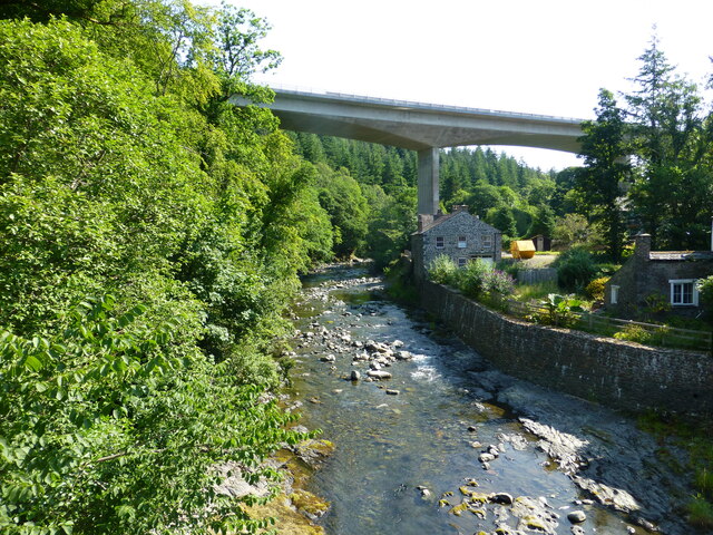
Castlehead Wood is a picturesque woodland located in the county of Cumberland, England. Situated near the town of Keswick, it covers an area of approximately 25 hectares and is renowned for its natural beauty and rich biodiversity. The wood is part of the wider Lake District National Park, a UNESCO World Heritage Site known for its stunning landscapes.
The woodland is predominantly made up of mature broadleaf trees, including oak, beech, and birch, which create a dense canopy that provides a haven for a variety of wildlife. The forest floor is carpeted with a diverse range of flora, such as bluebells, primroses, and wild garlic, adding to the wood's charm and appeal.
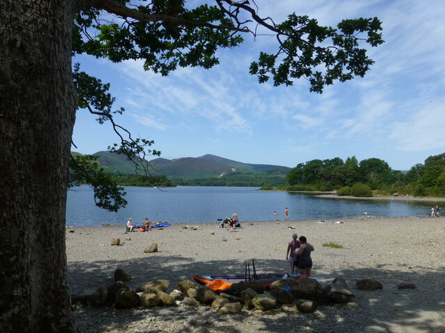
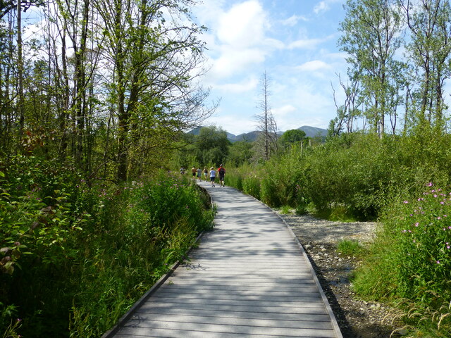
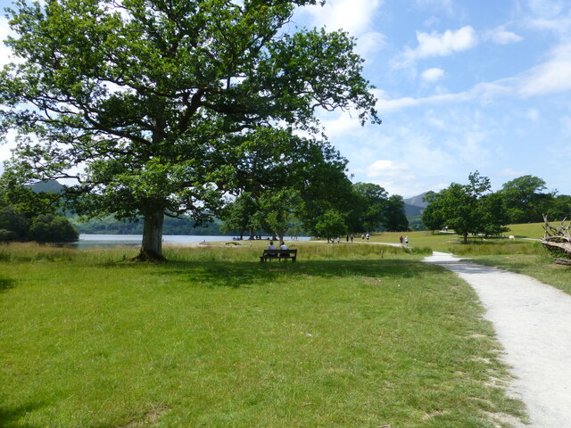
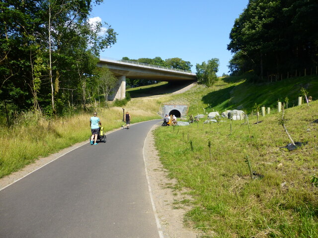
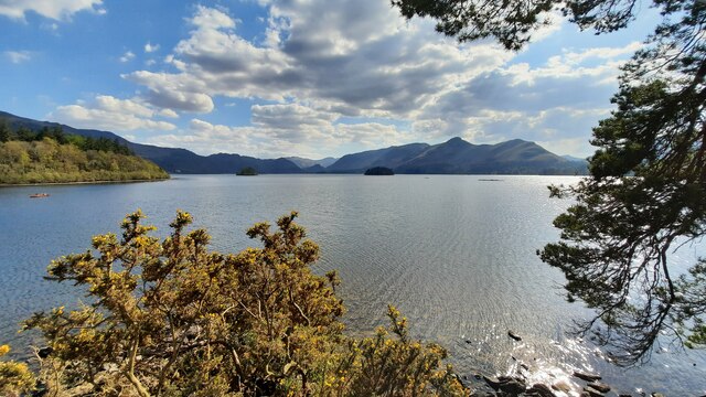
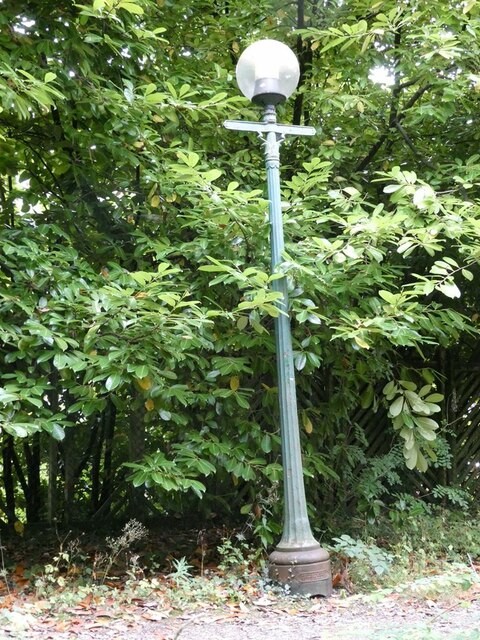
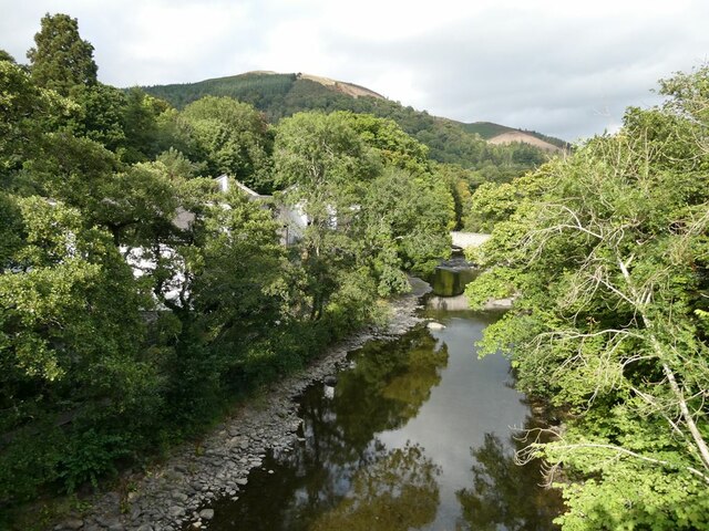
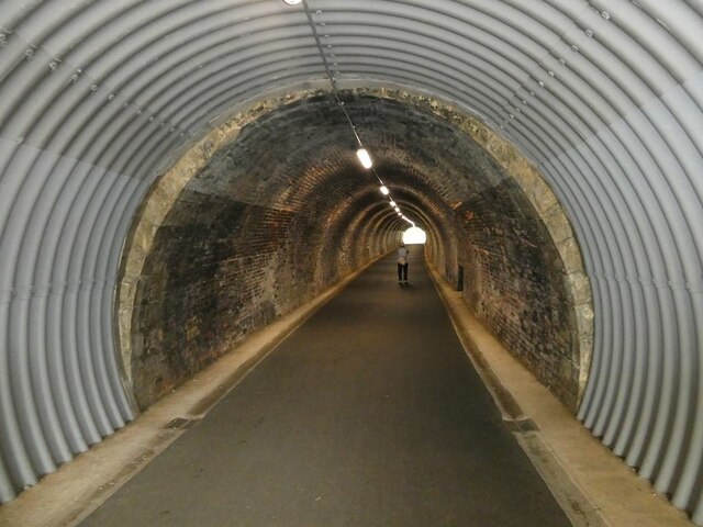
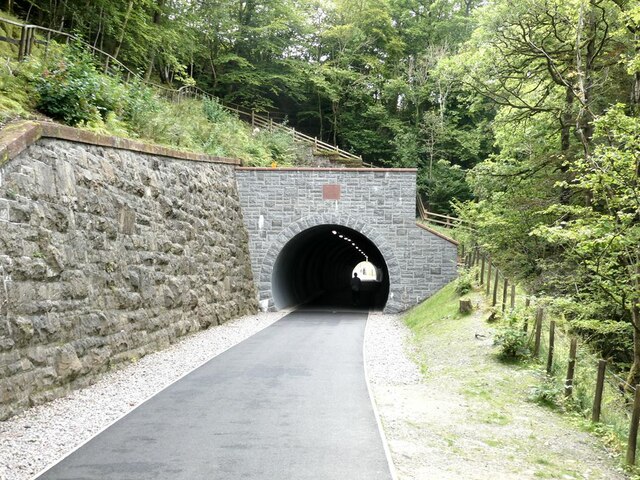
Castlehead Wood offers numerous walking trails and footpaths, allowing visitors to explore the area and enjoy its tranquil atmosphere. One of the highlights of the wood is the viewpoint at the top of Castlehead Hill, which offers panoramic vistas of the surrounding countryside, including stunning views of Derwentwater and the dramatic fells beyond.
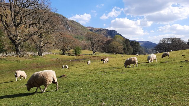
The woodland is also home to a variety of bird species, such as woodpeckers, nuthatches, and tawny owls, making it a popular spot for birdwatching enthusiasts. Additionally, the wood provides habitats for small mammals, including squirrels, badgers, and deer.
Castlehead Wood is a cherished natural resource in Cumberland, offering visitors a chance to immerse themselves in the beauty of the English countryside and experience the tranquillity of its ancient woodland. Whether one seeks a peaceful walk, a glimpse of wildlife, or simply a place to reconnect with nature, Castlehead Wood is a must-visit destination for nature lovers and outdoor enthusiasts alike.
If you have any feedback on the listing, please let us know in the comments section below.
Castlehead Wood Images
Images are sourced within 2km of 54.59445/-3.1313093 or Grid Reference NY2722. Thanks to Geograph Open Source API. All images are credited.


Castlehead Wood is located at Grid Ref: NY2722 (Lat: 54.59445, Lng: -3.1313093)
Administrative County: Cumbria
District: Allerdale
Police Authority: Cumbria
What 3 Words
///splashes.approach.worm. Near Keswick, Cumbria
Nearby Locations
Related Wikis
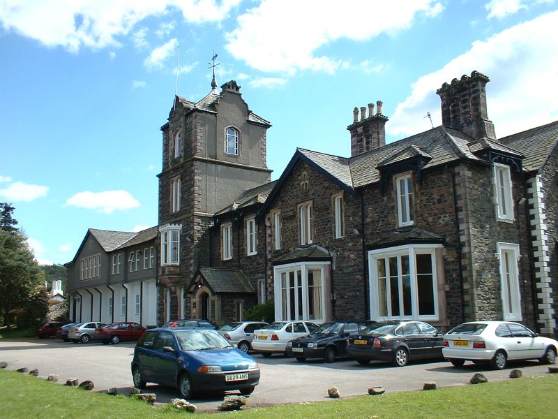
Castlerigg Manor
Castlerigg Manor is a Catholic Residential Youth Centre - also often referred to as Catholic Youth Retreat Centres - in Keswick, Cumbria, in the north...
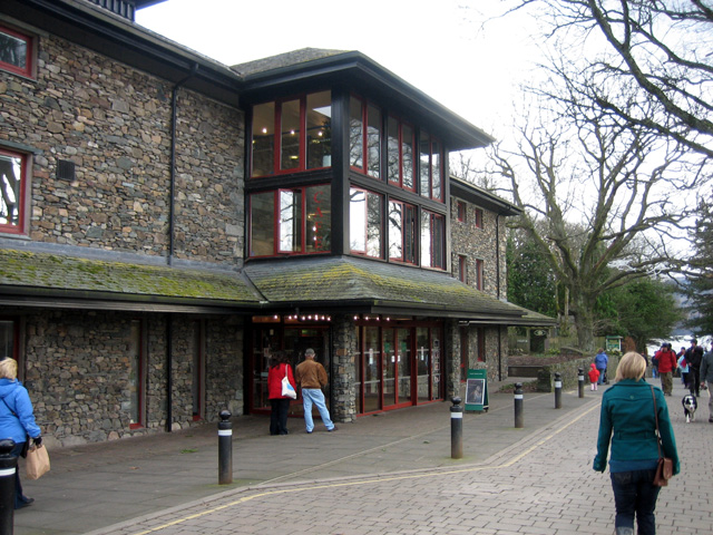
Theatre by the Lake
Theatre by the Lake is situated on the shores of Derwentwater in the Lake District in Keswick, Cumbria, England. It opened in 1999, replacing the mobile...

Keswick, Cumbria
Keswick ( KEZ-ik) is a market town and civil parish in the Cumberland unitary authority area of Cumbria, England. Historically, until 1974, it was part...
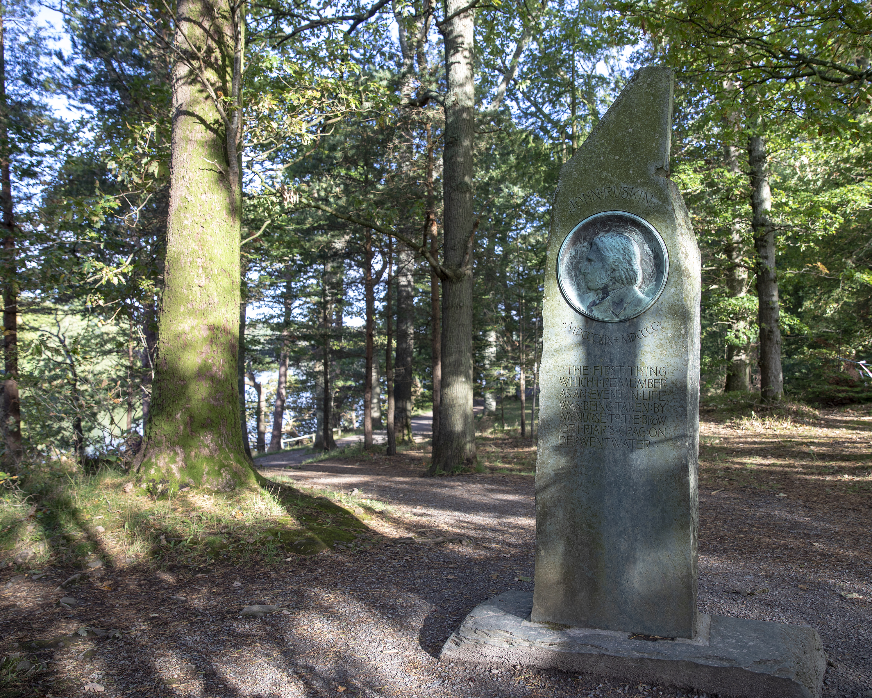
Ruskin Monument
The Ruskin Monument is a memorial to John Ruskin located on the edge of Derwentwater in the English Lakes at Friars' Crag, Keswick, Cumbria. It was erected...

Moot Hall, Keswick
The Moot Hall is a prominent historic building situated at the southern end of Main Street in Keswick, Cumbria, England. It is Grade II* listed. ��2...

Cars of the Stars Motor Museum
The Cars of the Stars Motor Museum was in the English town of Keswick, Cumbria, and owned a collection of celebrity television and film vehicles. The museum...

Lord's Island
Lord's Island, which is one of the seven islands on Derwent Water in Keswick, Cumbria, England, got its name from the Earls of Derwentwater who used to...
Black Sands (album)
Black Sands is the fourth studio album by English producer Bonobo. It was released on 29 March 2010. == Artwork == The cover features a photograph taken...
Nearby Amenities
Located within 500m of 54.59445,-3.1313093Have you been to Castlehead Wood?
Leave your review of Castlehead Wood below (or comments, questions and feedback).