Crab Tree Copse
Wood, Forest in Devon East Devon
England
Crab Tree Copse
Crab Tree Copse is a serene woodland located in the county of Devon, England. Nestled amidst the rolling hills and picturesque countryside, this enchanting forest spans approximately 20 acres, captivating visitors with its natural beauty and rich biodiversity.
The copse is primarily composed of a mix of deciduous and evergreen trees, including oak, beech, and birch, which form a dense canopy overhead, providing shade and shelter for the myriad of wildlife that calls this woodland home. The forest floor is carpeted with a lush carpet of moss, ferns, and wildflowers, creating a vibrant and colorful tapestry.
Traversing through Crab Tree Copse is a delight for nature lovers and hikers alike, as a network of well-maintained footpaths wind their way through the forest, allowing visitors to explore its hidden treasures. The dappled sunlight filters through the trees, casting a magical glow upon the surroundings, while the melodic chirping of birds fills the air.
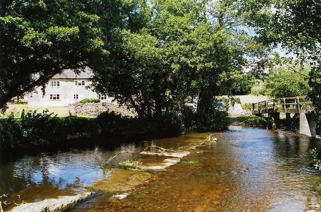
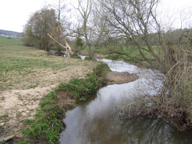
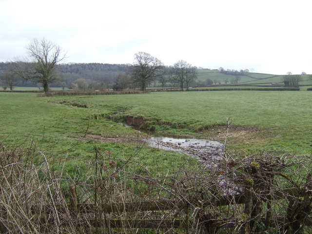
This woodland is not only a haven for flora and fauna but also an important ecological site. It serves as a habitat for numerous species such as deer, foxes, badgers, and a variety of bird species, including woodpeckers and owls. The copse also boasts a small stream that meanders through its heart, providing a water source for the resident wildlife.
Crab Tree Copse offers a peaceful retreat from the hustle and bustle of everyday life, inviting visitors to reconnect with nature and embrace its tranquility. Whether it's a leisurely stroll, birdwatching, or simply unwinding amidst the soothing sounds of the forest, this woodland promises an unforgettable experience for all who venture into its depths.
If you have any feedback on the listing, please let us know in the comments section below.
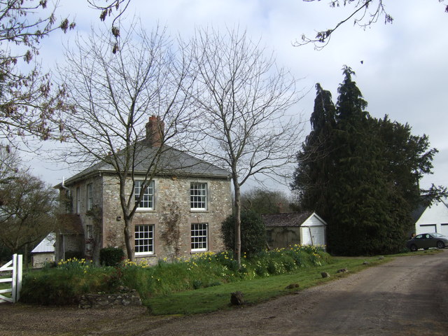
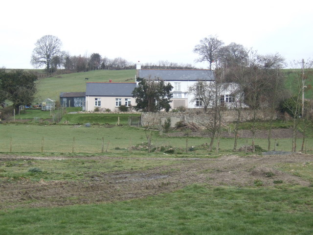
Crab Tree Copse Images
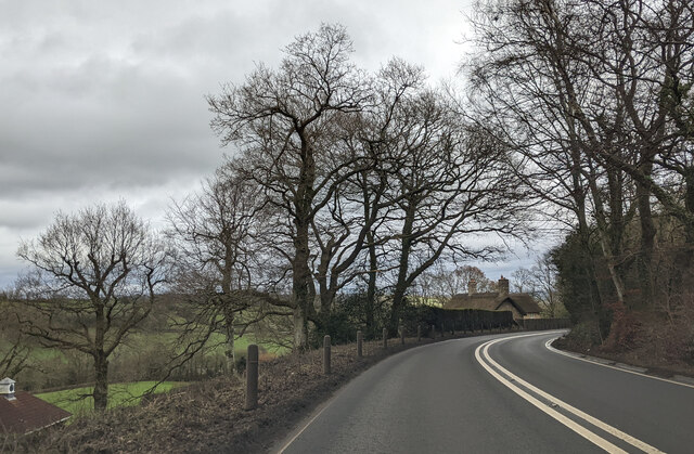
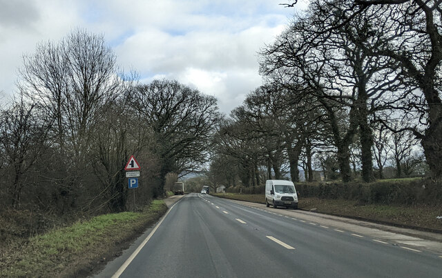
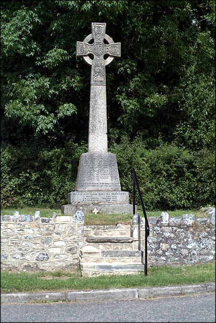
Images are sourced within 2km of 50.798685/-3.0386135 or Grid Reference ST2600. Thanks to Geograph Open Source API. All images are credited.


Crab Tree Copse is located at Grid Ref: ST2600 (Lat: 50.798685, Lng: -3.0386135)
Administrative County: Devon
District: East Devon
Police Authority: Devon and Cornwall
What 3 Words
///reception.newlyweds.storyline. Near Axminster, Devon
Nearby Locations
Related Wikis

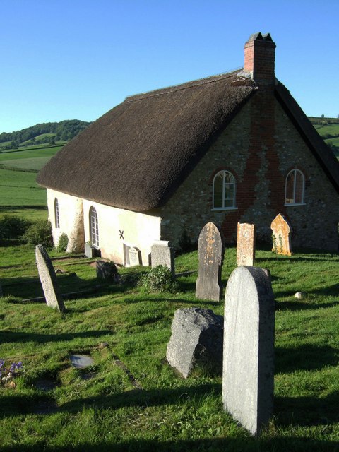
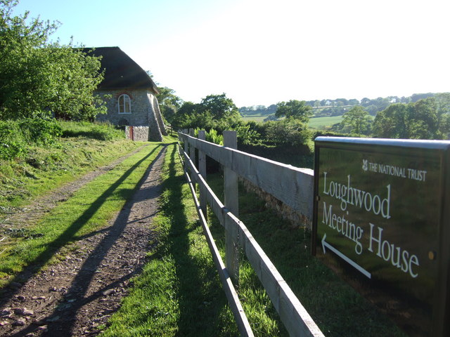
Loughwood Meeting House
Loughwood Meeting House is a historic Baptist chapel, 1 mile (1.6 km) south of the village of Dalwood, Devon in England. There was a meeting house on...

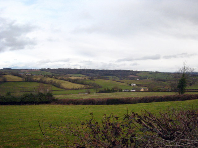
Dalwood
Dalwood is a village and county parish in the East Devon district of the English county of Devon. It is approximately 3 miles (4.8 km) away from the nearest...

Kilmington, Devon
Kilmington is a village near Axminster in East Devon off the A35 road. The village population at the 2011 Census was 830. Kilmington is a major part of...
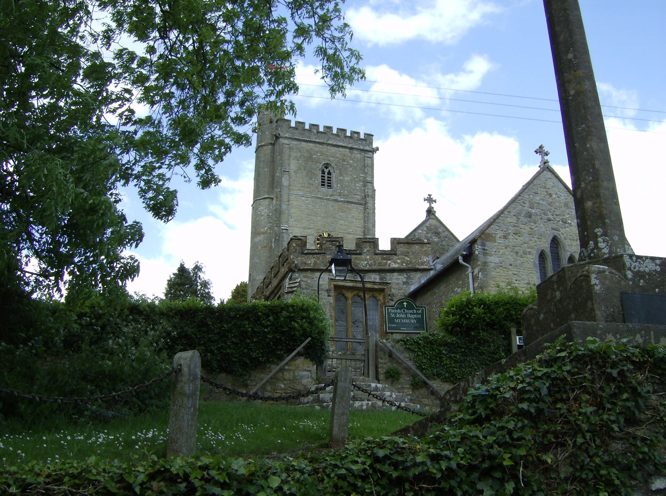
Membury, Devon
Membury is a village three miles north west of Axminster in East Devon district. The population at the 2011 Census was 501.The village has a 13th-century...
Nearby Amenities
Located within 500m of 50.798685,-3.0386135Have you been to Crab Tree Copse?
Leave your review of Crab Tree Copse below (or comments, questions and feedback).