Cock Wood
Wood, Forest in Devon East Devon
England
Cock Wood
Cock Wood is a charming forest located in the county of Devon, England. Nestled in the picturesque Dartmoor National Park, it spans an area of approximately 500 acres. The woodland is a designated Site of Special Scientific Interest (SSSI) due to its diverse range of flora and fauna.
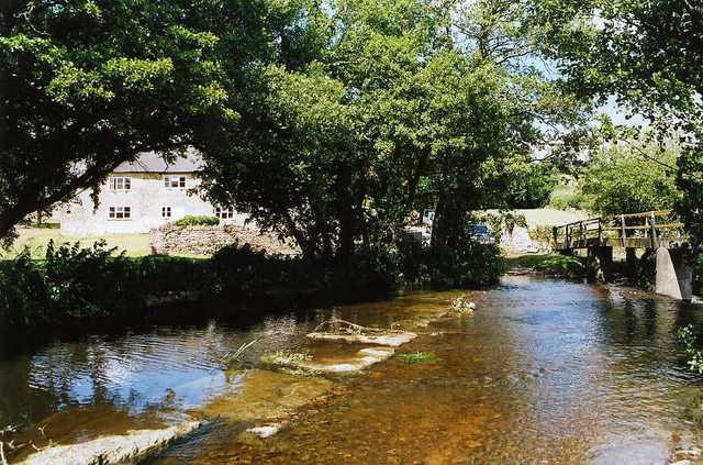
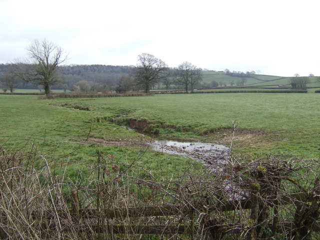
As visitors enter Cock Wood, they are greeted by a canopy of towering oak, beech, and ash trees, creating a dense and enchanting forest environment. The woodland floor is covered with a rich carpet of mosses, ferns, and wildflowers, adding to the natural beauty of the area.
The forest is home to a variety of wildlife, including various bird species like woodpeckers, owls, and thrushes. Mammals such as deer, foxes, and badgers can also be spotted, especially during the early morning or twilight hours. The tranquil atmosphere and abundance of wildlife make Cock Wood a popular destination for nature enthusiasts and birdwatchers.
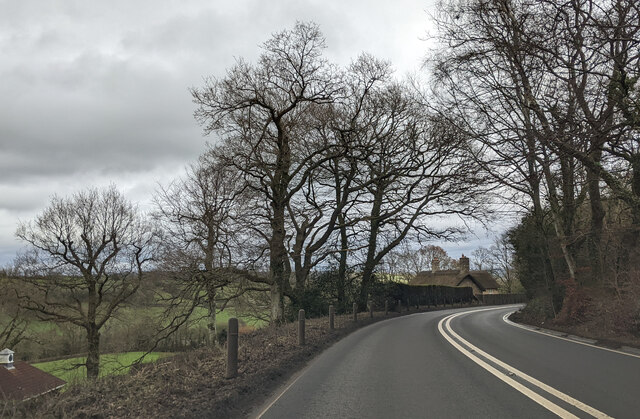
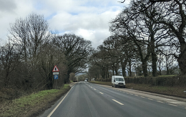
Several walking trails wind through the woodland, providing visitors with the opportunity to explore the area's natural wonders. These paths offer breathtaking views of the surrounding countryside, including the rolling hills and meandering streams that characterize the Devon landscape.
Cock Wood offers a peaceful escape from the hustle and bustle of city life, allowing visitors to connect with nature and immerse themselves in the serene surroundings. Whether seeking a leisurely stroll, birdwatching expedition, or simply a moment of tranquility, Cock Wood provides a truly rewarding experience for all who venture into its leafy depths.
If you have any feedback on the listing, please let us know in the comments section below.
Cock Wood Images
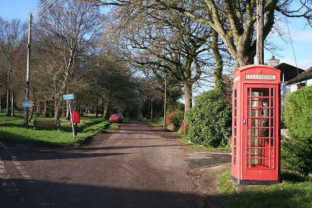
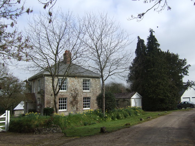
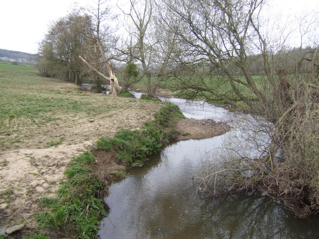
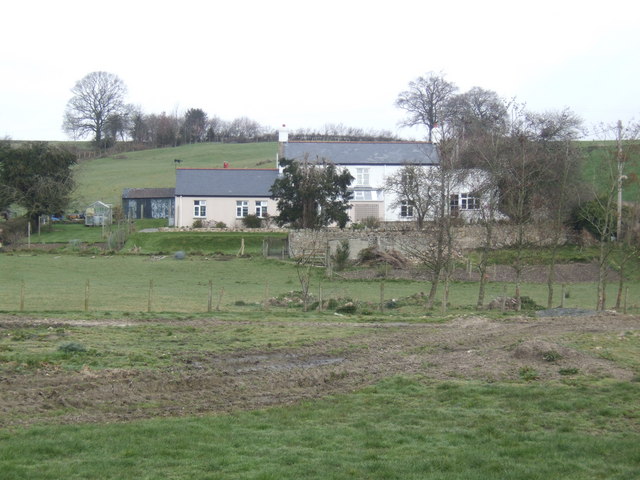
Images are sourced within 2km of 50.797358/-3.0401591 or Grid Reference ST2600. Thanks to Geograph Open Source API. All images are credited.


Cock Wood is located at Grid Ref: ST2600 (Lat: 50.797358, Lng: -3.0401591)
Administrative County: Devon
District: East Devon
Police Authority: Devon and Cornwall
What 3 Words
///proves.snore.retiring. Near Axminster, Devon
Nearby Locations
Related Wikis

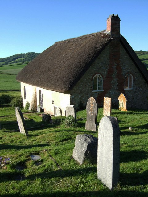
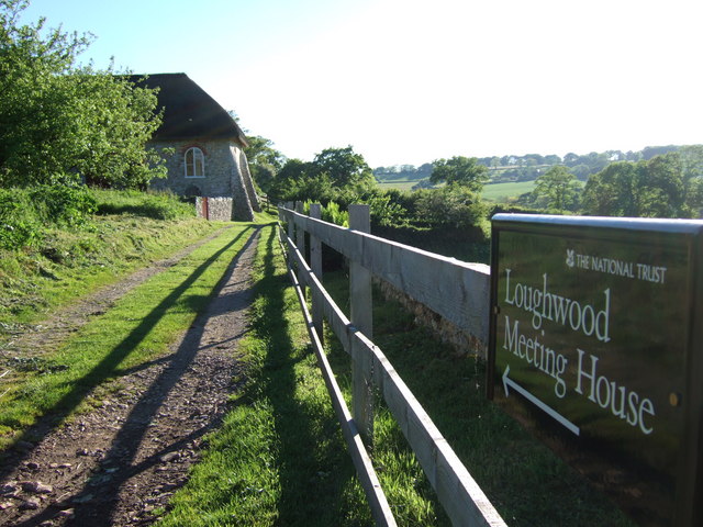
Loughwood Meeting House
Loughwood Meeting House is a historic Baptist chapel, 1 mile (1.6 km) south of the village of Dalwood, Devon in England. There was a meeting house on...

Dalwood
Dalwood is a village and county parish in the East Devon district of the English county of Devon. It is approximately 3 miles (4.8 km) away from the nearest...

Kilmington, Devon
Kilmington is a village near Axminster in East Devon off the A35 road. The village population at the 2011 Census was 830. Kilmington is a major part of...

Lands common to Axminster and Kilmington
The lands common to Axminster and Kilmington civil parishes are an area of meadowland on the banks of the River Axe that is shared between the civil parishes...
Nearby Amenities
Located within 500m of 50.797358,-3.0401591Have you been to Cock Wood?
Leave your review of Cock Wood below (or comments, questions and feedback).