Ash Covert
Wood, Forest in Devon East Devon
England
Ash Covert
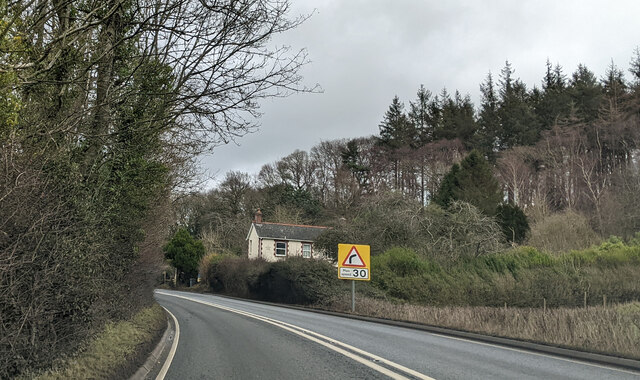
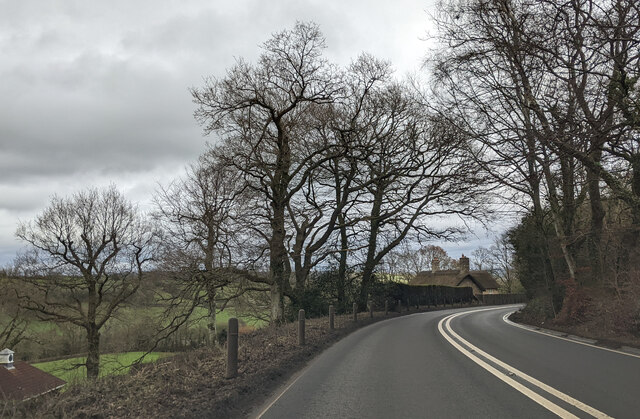
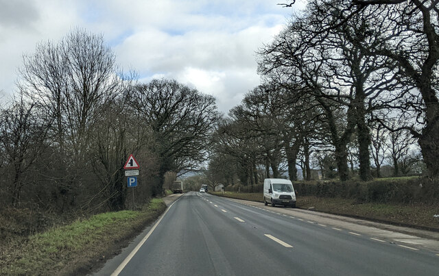
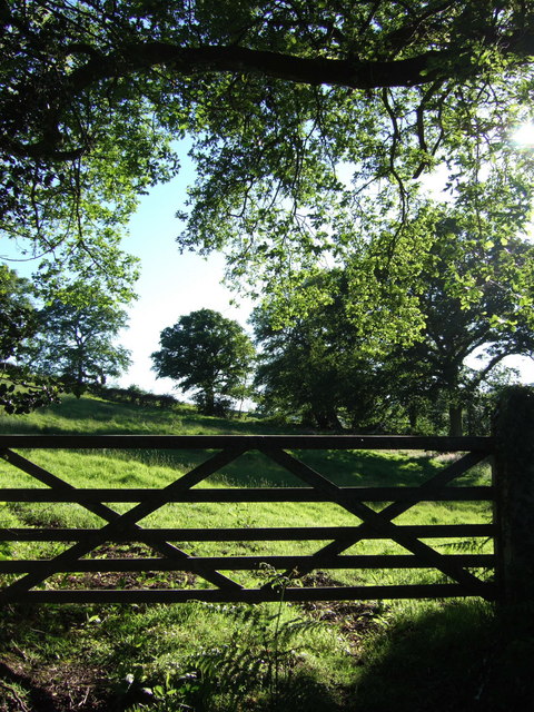
Ash Covert, Devon, also known as Ash Wood or Ash Forest, is a picturesque woodland located in the county of Devon, England. Spread over an area of approximately [insert size], this dense forest is renowned for its natural beauty and ecological significance.
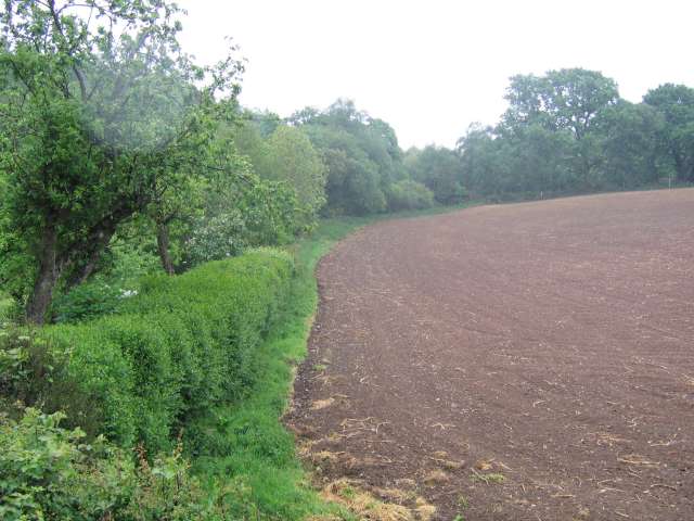
The forest is primarily composed of ash trees, hence its name, but it also features a diverse mix of other tree species such as oak, birch, and beech, creating a rich and varied woodland ecosystem. The tall, mature trees form a dense canopy that offers ample shade and protection for a wide range of wildlife species.
Ash Covert is a haven for nature lovers and outdoor enthusiasts, attracting visitors from near and far. It offers numerous walking trails and hiking paths, allowing visitors to explore its enchanting surroundings at their own pace. The forest is home to a variety of flora and fauna, including rare and endangered species like the lesser spotted woodpecker and the bluebell flower.
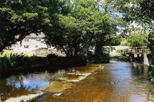
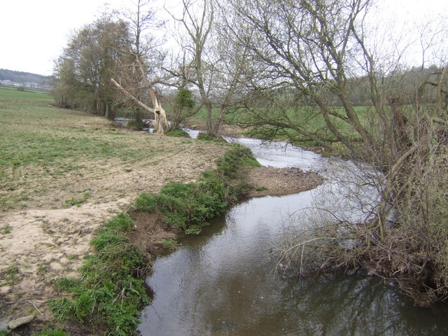
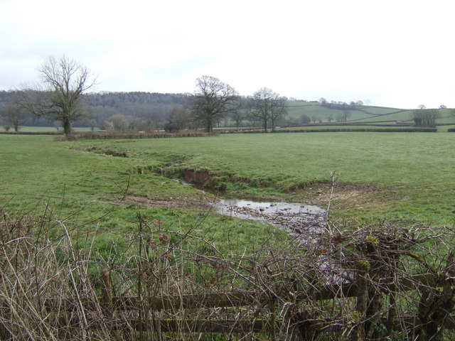
Throughout the seasons, Ash Covert transforms into a kaleidoscope of colors, with vibrant spring blossoms, lush green foliage in summer, fiery autumnal hues, and frost-covered branches in winter. The forest's beauty is further enhanced by small streams and ponds that meander through its heart, providing a serene and tranquil atmosphere.
Ash Covert is managed by the local forestry commission, ensuring its conservation and preservation for future generations to enjoy. Whether it's for a peaceful walk, wildlife spotting, or simply immersing oneself in nature's wonders, Ash Covert offers a truly remarkable experience in the heart of Devon.
If you have any feedback on the listing, please let us know in the comments section below.
Ash Covert Images
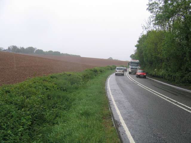
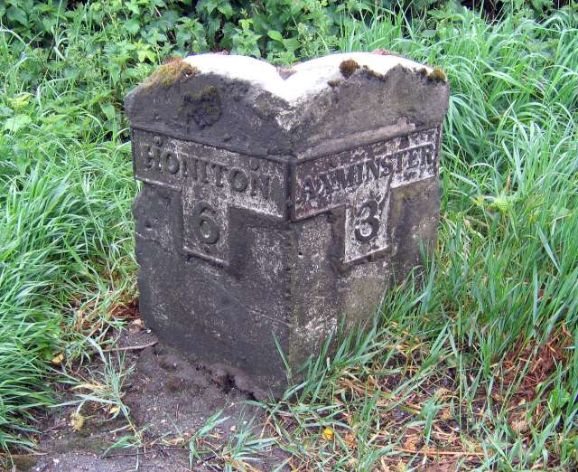
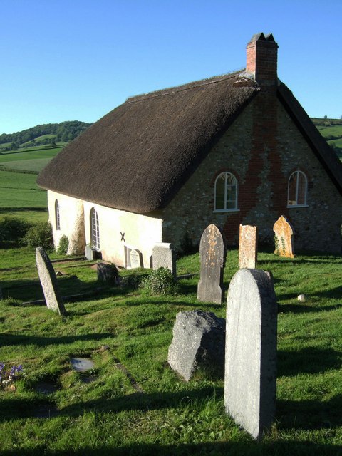
Images are sourced within 2km of 50.79785/-3.0475202 or Grid Reference ST2600. Thanks to Geograph Open Source API. All images are credited.
Ash Covert is located at Grid Ref: ST2600 (Lat: 50.79785, Lng: -3.0475202)
Administrative County: Devon
District: East Devon
Police Authority: Devon and Cornwall
What 3 Words
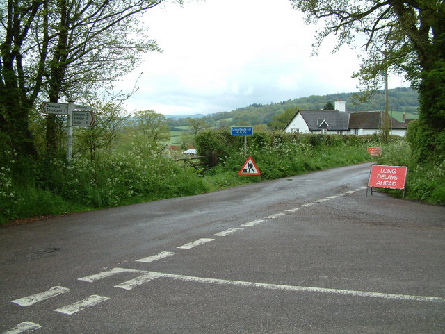
///camps.twirls.looms. Near Axminster, Devon
Nearby Locations
Related Wikis

Dalwood
Dalwood is a village and county parish in the East Devon district of the English county of Devon. It is approximately 3 miles (4.8 km) away from the nearest...

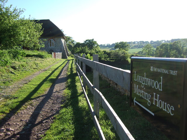
Loughwood Meeting House
Loughwood Meeting House is a historic Baptist chapel, 1 mile (1.6 km) south of the village of Dalwood, Devon in England. There was a meeting house on...

Kilmington, Devon
Kilmington is a village near Axminster in East Devon off the A35 road. The village population at the 2011 Census was 830. Kilmington is a major part of...

Old Shute House
See also: New Shute HouseOld Shute House (known as Shute Barton between about 1789 and the 20th century), located at Shute, near Colyton, Axminster, Devon...

Shute, Devon
Shute is a village, parish and former manor located 3 miles (5 km) west of Axminster in East Devon, off the A35 road. It is surrounded by farmland and...
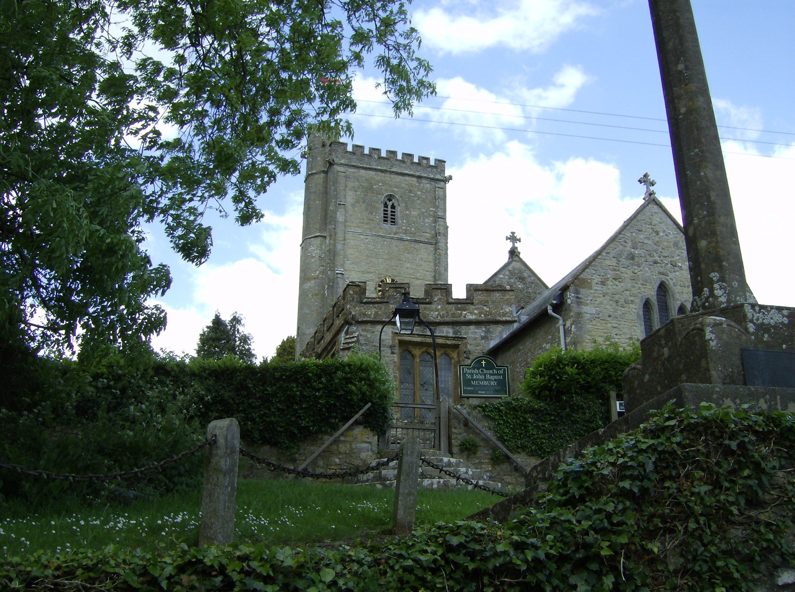
Membury, Devon
Membury is a village three miles north west of Axminster in East Devon district. The population at the 2011 Census was 501.The village has a 13th-century...

Membury Castle
Membury Castle is an Iron Age hillfort situated above the village of Membury in Devon. The fort occupies a commanding hilltop position some 204 metres...

Lands common to Axminster and Kilmington
The lands common to Axminster and Kilmington civil parishes are an area of meadowland on the banks of the River Axe that is shared between the civil parishes...
Nearby Amenities
Located within 500m of 50.79785,-3.0475202Have you been to Ash Covert?
Leave your review of Ash Covert below (or comments, questions and feedback).