Coomb's Coppice
Wood, Forest in Somerset Somerset West and Taunton
England
Coomb's Coppice

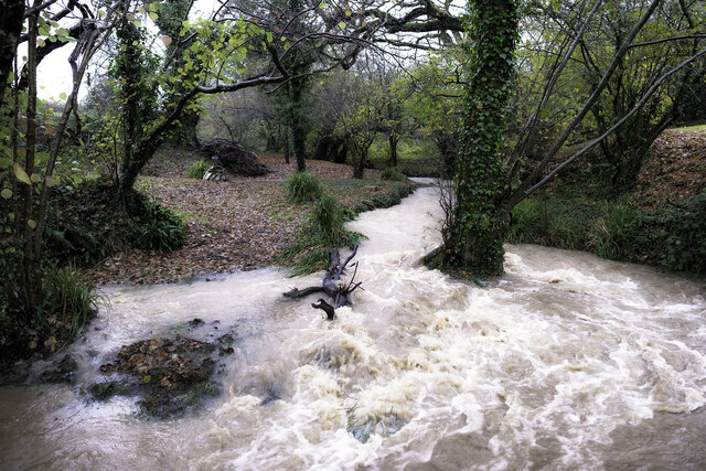
Coomb's Coppice is a picturesque woodland located in Somerset, England. Stretching over an area of approximately 100 acres, this enchanting forest is renowned for its natural beauty and rich biodiversity. It is situated near the village of Coomb, adding to the charm and accessibility of the site.
The woodland is primarily composed of native tree species, including oak, beech, and birch. These majestic trees tower above visitors, creating a dense canopy that provides shade and a peaceful ambiance. The forest floor is carpeted with a vibrant array of wildflowers, ferns, and mosses, adding to the overall enchantment of the area.
Coomb's Coppice is home to a diverse range of wildlife, making it a haven for nature enthusiasts and wildlife photographers. Birdwatchers can spot various species, such as woodpeckers, tawny owls, and song thrushes, while small mammals like squirrels, foxes, and badgers roam the forest floor. Additionally, the woodland is teeming with insects, including butterflies and beetles, contributing to the overall ecosystem of the area.
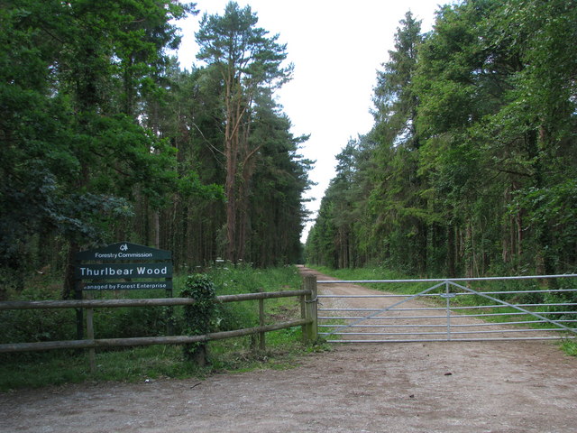
Nature lovers can explore Coomb's Coppice through its network of walking trails, allowing visitors to immerse themselves in the tranquility and natural beauty of the forest. The paths wind through the woodland, offering panoramic views and glimpses of the surrounding countryside. The site is well-maintained, with informative signposts and seating areas scattered throughout, providing ample opportunities to rest and appreciate the surroundings.
Overall, Coomb's Coppice is a captivating woodland that showcases the beauty of Somerset's natural landscapes. It offers a sanctuary for wildlife, a place for relaxation and exploration, and a chance to connect with the wonders of nature.
If you have any feedback on the listing, please let us know in the comments section below.
Coomb's Coppice Images
Images are sourced within 2km of 50.970722/-3.0648073 or Grid Reference ST2519. Thanks to Geograph Open Source API. All images are credited.


Coomb's Coppice is located at Grid Ref: ST2519 (Lat: 50.970722, Lng: -3.0648073)
Administrative County: Somerset
District: Somerset West and Taunton
Police Authority: Avon and Somerset
What 3 Words
///segmented.proceeds.sweetener. Near Taunton, Somerset
Nearby Locations
Related Wikis

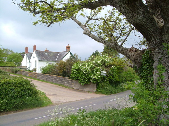
Staple Fitzpaine
Staple Fitzpaine is a village and civil parish in Somerset, England, situated 5 miles (8.0 km) south of Taunton. The village has a population of 189 and...

William Portman Almshouses
The William Portman Almshouses in Staple Fitzpaine, Somerset, England was built in 1643. It is a Grade II* listed building. == History == The almshouses...

Corfe
Corfe is a village and civil parish in Somerset, England, situated below the Blackdown Hills 4 miles (6.4 km) south of Taunton. The village has a population...

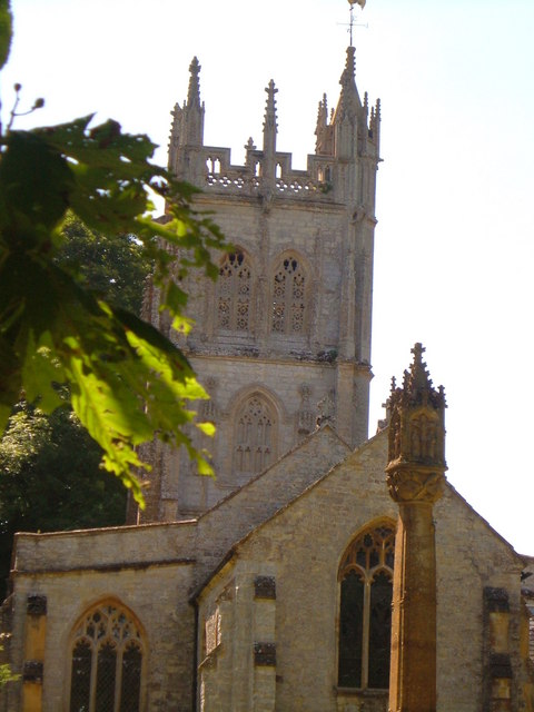
Church of St Nicholas, Corfe
The Anglican Church of St Nicholas in Corfe, Somerset, England was built in the Norman period and rebuilt in 1842. It is a Grade II* listed building....
Orchard Portman
Orchard Portman is a village and civil parish in Somerset, England, situated 2 miles (3.2 km) south of Taunton. The village has a population of 150.The...
Thurlbear Wood and Quarrylands
Thurlbear Wood and Quarrylands (grid reference ST270210) is a 26.7 hectare (65.8 acre) biological Site of Special Scientific Interest south of Stoke St...
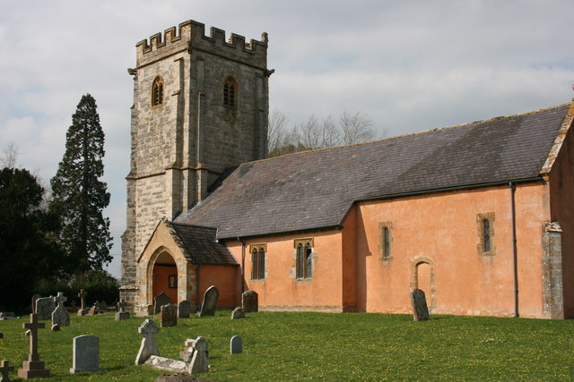
Church of St Thomas, Thurlbear
The Church of St Thomas in the village of Thurlbear, which is in the parish of Orchard Portman, Somerset, England, dates from the 12th century. It has...

St Michael's Church, Orchard Portman
The Anglican Church of St Michael in Orchard Portman, Somerset, England, dates from the Norman period. It is a Grade II* listed building. == History... ==
Have you been to Coomb's Coppice?
Leave your review of Coomb's Coppice below (or comments, questions and feedback).