Cold Croft Coppice
Wood, Forest in Somerset Somerset West and Taunton
England
Cold Croft Coppice
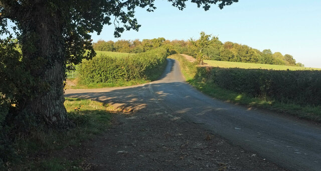
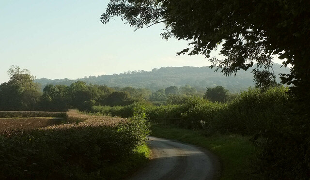
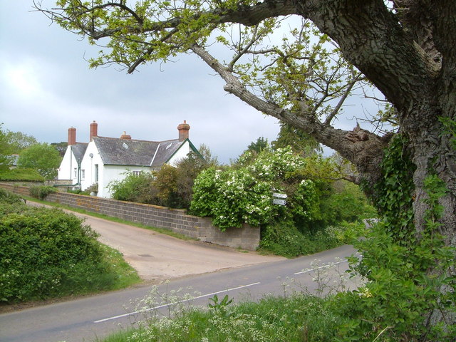
Cold Croft Coppice is a picturesque woodland located in Somerset, England. Covering an area of approximately 50 acres, it is nestled in the heart of the countryside, providing a tranquil and serene escape from the hustle and bustle of everyday life.
The coppice is predominantly made up of native broadleaf trees, including oak, beech, ash, and hazel. These trees form a dense canopy, creating a shaded and cool environment below. The forest floor is covered in a thick carpet of ferns, mosses, and wildflowers, adding to the woodland's natural beauty.
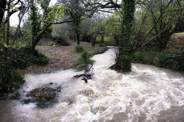
The coppice is home to a diverse range of wildlife, making it a haven for nature enthusiasts. Birdwatchers can spot species such as woodpeckers, owls, and various songbirds, while small mammals like foxes, badgers, and squirrels roam the forest. The nearby stream attracts a variety of aquatic creatures, including frogs, newts, and dragonflies.
Visitors can explore the woodland through a network of well-maintained footpaths, allowing them to wander freely and discover the hidden gems within the coppice. There are also designated picnic areas, providing a perfect spot to relax and enjoy the peaceful atmosphere.
Cold Croft Coppice is managed by a local conservation group, ensuring the preservation of its natural habitats and the protection of its flora and fauna. This commitment to conservation has resulted in the coppice being awarded Site of Special Scientific Interest (SSSI) status, recognizing its importance in maintaining biodiversity.
Overall, Cold Croft Coppice is a scenic woodland that offers a glimpse into the natural beauty of Somerset. Its diverse ecosystem and tranquil atmosphere make it an ideal destination for nature lovers and those seeking a peaceful retreat in the heart of the English countryside.
If you have any feedback on the listing, please let us know in the comments section below.
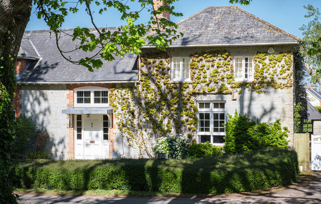
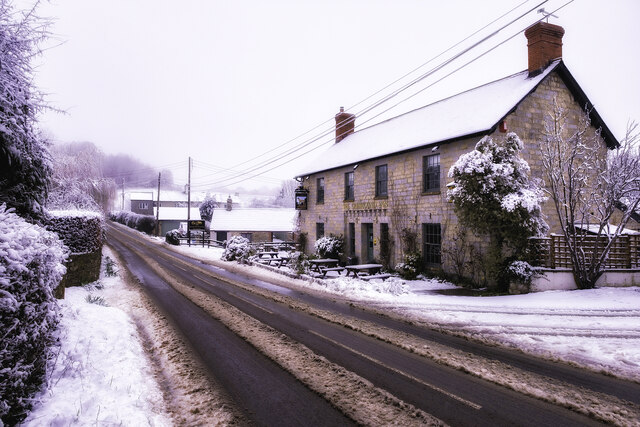
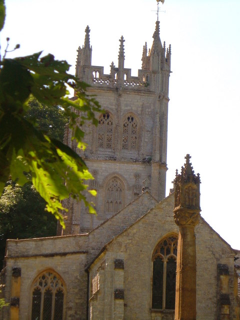
Cold Croft Coppice Images
Images are sourced within 2km of 50.971862/-3.0581394 or Grid Reference ST2519. Thanks to Geograph Open Source API. All images are credited.


Cold Croft Coppice is located at Grid Ref: ST2519 (Lat: 50.971862, Lng: -3.0581394)
Administrative County: Somerset
District: Somerset West and Taunton
Police Authority: Avon and Somerset
What 3 Words
///loving.ships.refusals. Near Taunton, Somerset
Nearby Locations
Related Wikis

Staple Fitzpaine
Staple Fitzpaine is a village and civil parish in Somerset, England, situated 5 miles (8.0 km) south of Taunton. The village has a population of 189 and...

William Portman Almshouses
The William Portman Almshouses in Staple Fitzpaine, Somerset, England was built in 1643. It is a Grade II* listed building. == History == The almshouses...
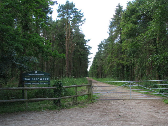
Thurlbear Wood and Quarrylands
Thurlbear Wood and Quarrylands (grid reference ST270210) is a 26.7 hectare (65.8 acre) biological Site of Special Scientific Interest south of Stoke St...
Orchard Portman
Orchard Portman is a village and civil parish in Somerset, England, situated 2 miles (3.2 km) south of Taunton. The village has a population of 150.The...

Corfe
Corfe is a village and civil parish in Somerset, England, situated below the Blackdown Hills 4 miles (6.4 km) south of Taunton. The village has a population...
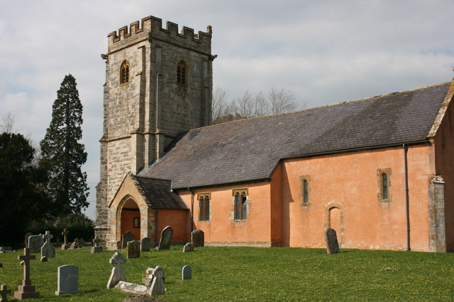
Church of St Thomas, Thurlbear
The Church of St Thomas in the village of Thurlbear, which is in the parish of Orchard Portman, Somerset, England, dates from the 12th century. It has...

St Michael's Church, Orchard Portman
The Anglican Church of St Michael in Orchard Portman, Somerset, England, dates from the Norman period. It is a Grade II* listed building. == History... ==

Bickenhall
Bickenhall is a hamlet and parish in Somerset, England, situated 5 miles (8.0 km) south east of Taunton. The parish, which includes the hamlet of Batten...
Nearby Amenities
Located within 500m of 50.971862,-3.0581394Have you been to Cold Croft Coppice?
Leave your review of Cold Croft Coppice below (or comments, questions and feedback).