West Common Copse

Wood, Forest in Somerset South Somerset

England

West Common Copse

Staple Fitpaine : Castlemain Looking along the road.
Staple Fitpaine : Castlemain Credit: Lewis Clarke

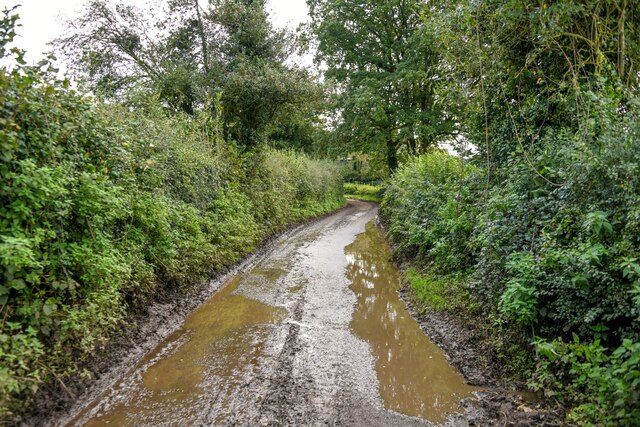
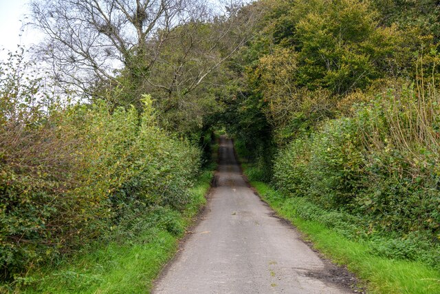
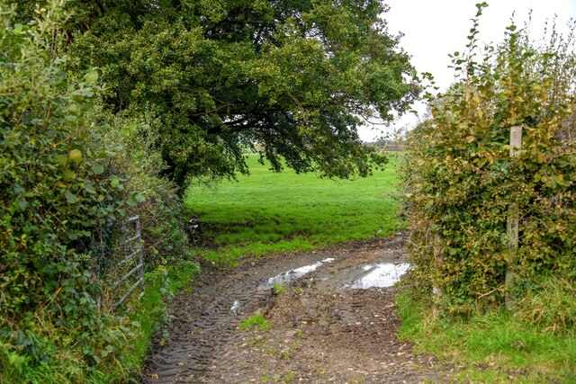
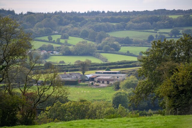
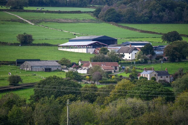
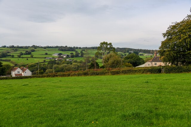
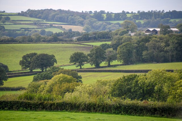
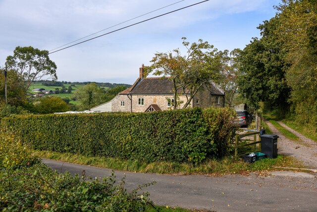
West Common Copse is a woodland area located in Somerset, England. Covering approximately 50 acres, it is situated in the heart of the county, near the town of Taunton. The copse is part of a larger network of woodlands known as the Quantock Hills, an Area of Outstanding Natural Beauty.

The landscape of West Common Copse is characterized by a mix of deciduous and coniferous trees, creating a diverse and visually appealing environment. The woodland is primarily composed of oak, beech, and birch trees, which provide a rich habitat for various flora and fauna. Bluebells, wild garlic, and foxgloves can be found carpeting the forest floor during spring and summer months.

The copse is home to a range of wildlife, including deer, foxes, badgers, and a variety of bird species. It serves as an important breeding ground for many woodland birds, such as the great spotted woodpecker and tawny owl. Rare species of bats have also been spotted in the area.

West Common Copse offers a tranquil and secluded setting for nature enthusiasts and walkers. There are several well-maintained footpaths and trails that wind through the woodland, providing opportunities for recreational activities such as hiking, birdwatching, and photography. The copse is also a popular destination for educational trips, as it offers a chance for visitors to learn about the local biodiversity and natural history.

Overall, West Common Copse is an enchanting woodland area in Somerset, offering a haven for wildlife and a peaceful escape for visitors seeking to reconnect with nature.

If you have any feedback on the listing, please let us know in the comments section below.

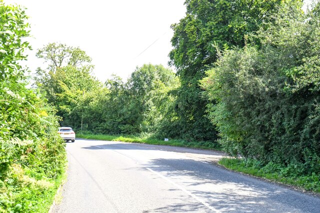
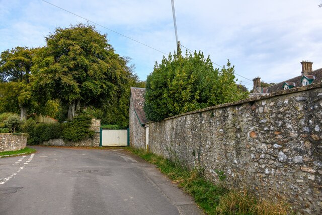
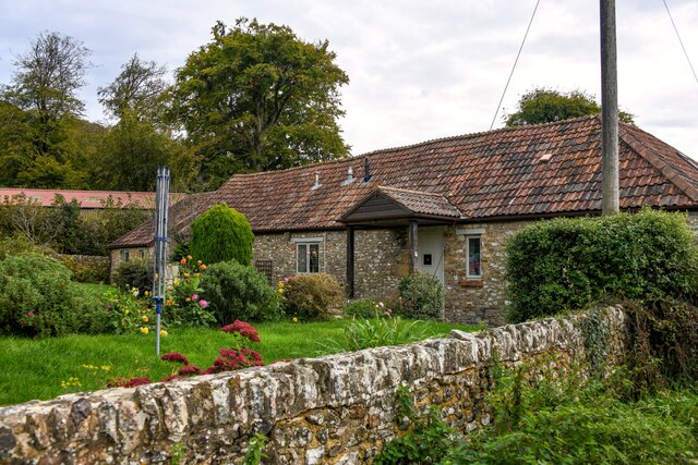
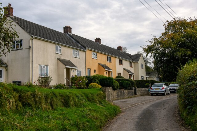
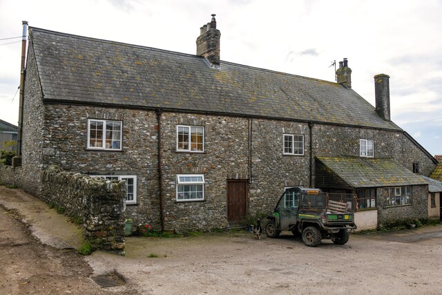
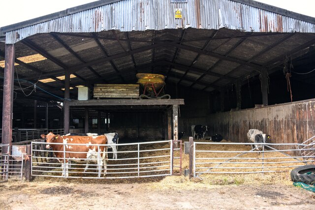
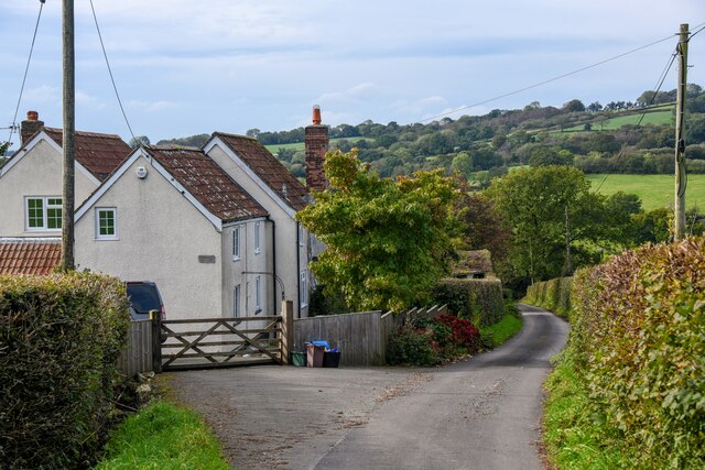
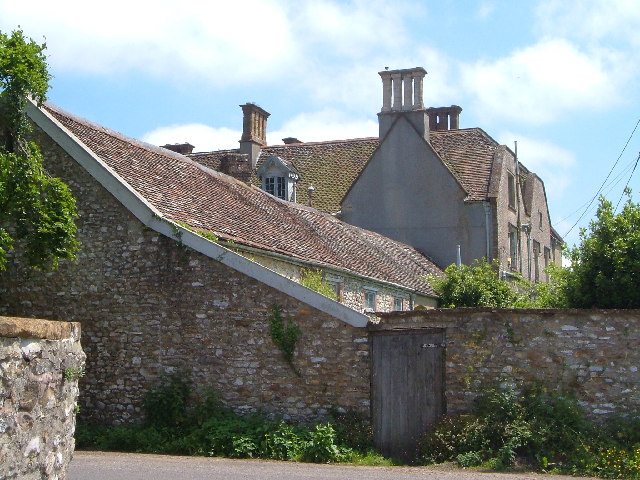
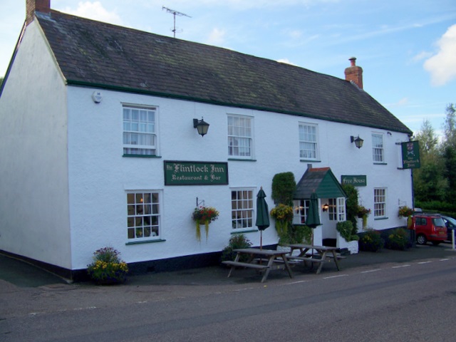
West Common Copse Images

Images are sourced within 2km of 50.915396/-3.0642125 or Grid Reference ST2513. Thanks to Geograph Open Source API. All images are credited.

Staple Fitpaine : Castlemain Looking along the road.
Staple Fitpaine : Castlemain
Looking along the road.
Buckland St Mary : Fairend Lane Looking along a road through the village.
Buckland St Mary : Fairend Lane
Looking along a road through the village.
Buckland St Mary : Hillcrest Barn Hillcrest Barn in Buckland St Mary.
Buckland St Mary : Hillcrest Barn
Hillcrest Barn in Buckland St Mary.
Buckland St Mary : Pound Lane Looking along Pound Lane with dwellings alongside it.
Buckland St Mary : Pound Lane
Looking along Pound Lane with dwellings alongside it.
Buckland St Mary : Pound Lane Passing Pound Farm.
Buckland St Mary : Pound Lane
Passing Pound Farm.
Buckland St Mary : Pound Farm Looking towards the farmhouse from Pound Lane.
Buckland St Mary : Pound Farm
Looking towards the farmhouse from Pound Lane.
Buckland St Mary : Pound Farm Looking into one of the cattle barns.
Buckland St Mary : Pound Farm
Looking into one of the cattle barns.
Buckland St Mary : Pound Lane Passing Pound Farm.
Buckland St Mary : Pound Lane
Passing Pound Farm.
Buckland St Mary : Pound Farm Farm buildings off Pound Lane.
Buckland St Mary : Pound Farm
Farm buildings off Pound Lane.
Buckland St Mary : Pound Lane Looking along a wet looking Pound Lane.
Buckland St Mary : Pound Lane
Looking along a wet looking Pound Lane.
Buckland St Mary : Pound Lane Looking along Pound Lane.
Buckland St Mary : Pound Lane
Looking along Pound Lane.
Buckland St Mary : Field Entrance Entry to the field and right of way off Pound Lane.
Buckland St Mary : Field Entrance
Entry to the field and right of way off Pound Lane.
Buckland St Mary : Countryside Scenery Looking across towards Cross Hill Farm.
Buckland St Mary : Countryside Scenery
Looking across towards Cross Hill Farm.
Buckland St Mary : Countryside Scenery Looking towards Higher Blindmoor Farm.
Buckland St Mary : Countryside Scenery
Looking towards Higher Blindmoor Farm.
Buckland St Mary : Grassy Field A field with a right of way through it.
Buckland St Mary : Grassy Field
A field with a right of way through it.
Buckland St Mary : Countryside Scenery Looking out across the countryside.
Buckland St Mary : Countryside Scenery
Looking out across the countryside.
Buckland St Mary : Pound Lane Pound Lane with Little Thatch in view.
Buckland St Mary : Pound Lane
Pound Lane with Little Thatch in view.
Buckland St Mary : Pound Lane Pound Lane passing Paddock Cottage.
Buckland St Mary : Pound Lane
Pound Lane passing Paddock Cottage.
Show me another place!

West Common Copse is located at Grid Ref: ST2513 (Lat: 50.915396, Lng: -3.0642125)

Administrative County: Somerset

District: South Somerset

Police Authority: Avon and Somerset

What 3 Words

///nibbles.souk.obtain. Near Chard, Somerset

Related Wikis

Bishopswood Meadows

Bishopswood Meadows is a nature reserve situated within the Blackdown Hills Area of Outstanding Natural Beauty in the county of Somerset, England. The...

Buckland St Mary

Buckland St Mary is a village and parish in Somerset, England, situated 6 miles (9.7 km) to the west of Ilminster and 8 miles (12.9 km) south of Taunton...

Long Lye

Long Lye (grid reference ST265122) is an 11.7 hectare (29.0 acre) biological Site of Special Scientific Interest at Buckland St Mary in the Blackdown Hills...

Robin Hood's Butts

Robin Hood's Butts are a group of nine Bronze Age barrows near Otterford on the Blackdown Hills in Somerset, England. They have been scheduled as ancient...

Church of St Mary, Buckland St Mary

The Anglican Church of St Mary in Buckland St Mary, Somerset, England was built in 1853-1863. It is a Grade II* listed building. == History == The church...

Long Lye Meadow

Long Lye Meadow (grid reference ST267119) is a 3.3 hectare biological Site of Special Scientific Interest at Buckland St Mary in the Blackdown Hills, Somerset...

Marsh, Devon

Marsh is a village in the Blackdown Hills, Devon, England. It is part of the East Devon district, and close to the River Yarty and border with Somerset...

Otterhead Lakes

Otterhead Lakes are a pair of reservoirs in the Blackdown Hills Area of Outstanding Natural Beauty south of Otterford in Somerset, England. They are fed...

Nearby Amenities

Located within 500m of 50.915396,-3.0642125
Power: pole
Source: bing
Lat/Long: 50.9197367/-3.0653304
Power: pole
Source: bing
Lat/Long: 50.919538/-3.0655879
Power: pole
Source: bing
Lat/Long: 50.9189285/-3.0618194
Power: pole
Source: bing
Lat/Long: 50.9186901/-3.0631846
Power: pole
Source: bing
Lat/Long: 50.9189995/-3.0650353
Power: pole
Source: bing
Lat/Long: 50.9184618/-3.0644774
Power: pole
Source: bing
Transformer: distribution
Lat/Long: 50.9170042/-3.0613312
Power: pole
Source: bing
Lat/Long: 50.9177397/-3.0637291
Power: pole
Source: bing
Lat/Long: 50.9171547/-3.0631202
Power: pole
Source: bing
Lat/Long: 50.9109382/-3.0635494
Power: pole
Source: bing
Lat/Long: 50.9116536/-3.0632865
Power: pole
Source: bing
Lat/Long: 50.9123689/-3.0631605
Power: pole
Source: bing
Lat/Long: 50.9141362/-3.0628896
Power: pole
Source: bing
Lat/Long: 50.9165797/-3.0625275
Power: pole
Source: bing
Lat/Long: 50.9157494/-3.0626482
Power: pole
Source: bing
Lat/Long: 50.9143349/-3.0686805
Power: pole
Source: bing
Lat/Long: 50.91417/-3.0697694
Power: pole
Source: bing
Lat/Long: 50.9139967/-3.0709577
Power: pole
Source: bing
Lat/Long: 50.9144693/-3.0677792
Power: pole
Source: bing
Lat/Long: 50.9146722/-3.0664542
Power: pole
Source: bing
Lat/Long: 50.9150882/-3.0636862
Power: pole
Source: bing
Lat/Long: 50.9149124/-3.0627716
Power: pole
Source: bing
Lat/Long: 50.9146773/-3.0615485
Power: pole
Source: bing
Lat/Long: 50.9144558/-3.0603817
Power: pole
Source: bing
Lat/Long: 50.914219/-3.0591559
Power: pole
Source: bing
Lat/Long: 50.9139231/-3.0575949
The data included in this document is from www.openstreetmap.org. The data is made available under ODbL.

Have you been to West Common Copse?

Leave your review of West Common Copse below (or comments, questions and feedback).