Back Springs Wood

Wood, Forest in Lancashire South Lakeland

England

Back Springs Wood

A595 at Ellermire Bridge
A595 at Ellermire Bridge Credit: Colin Pyle

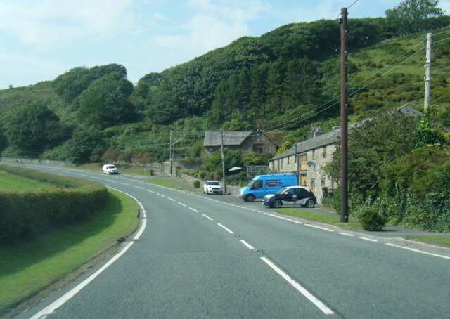
Back Springs Wood is a picturesque forest located in the county of Lancashire, England. With an area spanning approximately 150 acres, it is renowned for its natural beauty and tranquil ambiance. The wood is situated in close proximity to the village of Back Springs, hence acquiring its name.

This ancient woodland is predominantly composed of deciduous trees, including oak, beech, and ash. The dense foliage creates a stunning canopy that provides shade during the summer months and bursts into vibrant hues of red, orange, and gold during the autumn season. The forest floor is adorned with a plethora of wildflowers, such as bluebells and primroses, adding to its charm.

Back Springs Wood offers a haven for a diverse range of wildlife. It serves as a habitat for various bird species, including woodpeckers, owls, and thrushes, making it a paradise for bird enthusiasts. Deer can often be spotted grazing in the more secluded areas, while squirrels and rabbits scurry around in the undergrowth.

The wood is intersected by several well-maintained walking trails, allowing visitors to explore its natural treasures. These paths wind through the forest, revealing enchanting vistas and providing a sense of tranquility. It is a popular destination for nature lovers, hikers, and families seeking a peaceful retreat from the hustle and bustle of daily life.

Back Springs Wood is a valuable ecological resource and is protected by local conservation initiatives. It offers a unique opportunity to connect with nature and appreciate the beauty of Lancashire's natural landscapes.

If you have any feedback on the listing, please let us know in the comments section below.

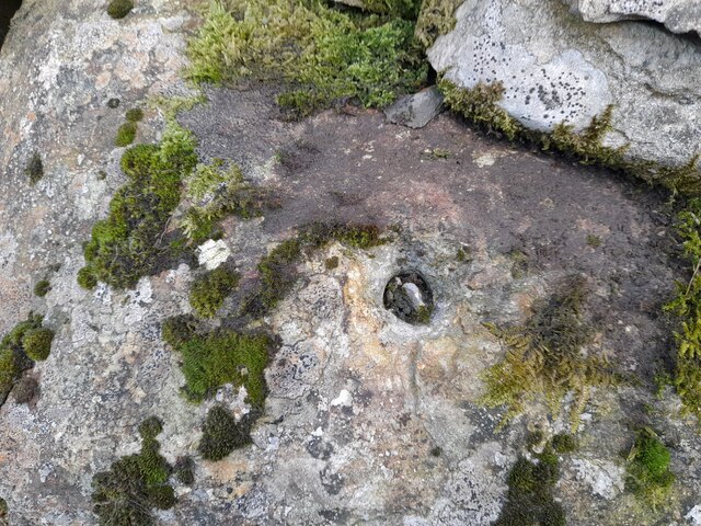
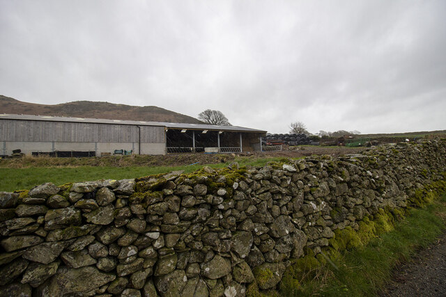
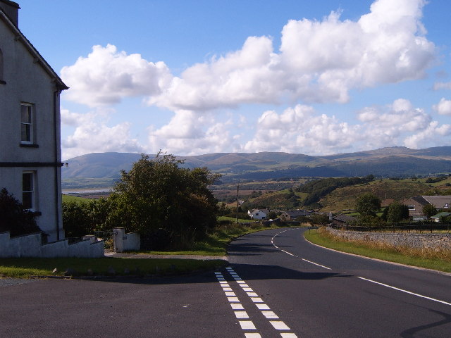
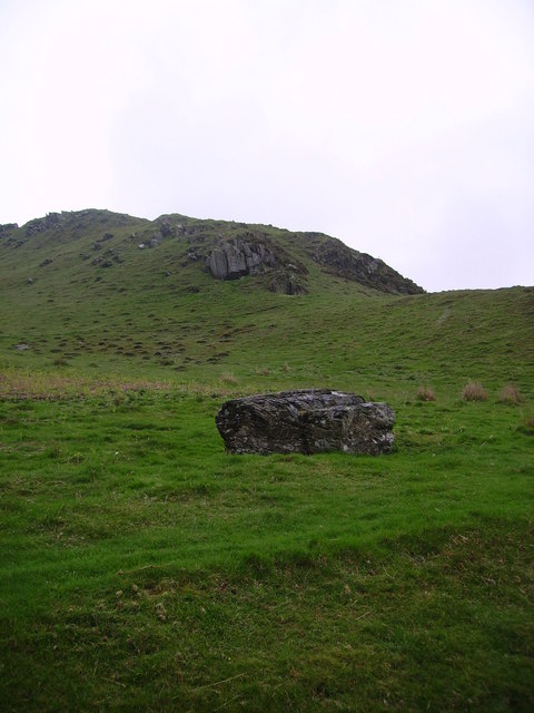
Back Springs Wood Images

Images are sourced within 2km of 54.263793/-3.1619379 or Grid Reference SD2485. Thanks to Geograph Open Source API. All images are credited.

A595 at Ellermire Bridge
Wreaks Causeway End Bridge over Kirkby Pool Wreaks Causeway End Bridge carrying the A595.
Listed Building entry number 1138084. Grade II.
Listing includes carvings on the coping stones of the parapets.
<span class="nowrap"><a title="https://historicengland.org.uk/listing/the-list/list-entry/1138084?section=official-listing" rel="nofollow ugc noopener" href="https://historicengland.org.uk/listing/the-list/list-entry/1138084?section=official-listing">Link</a><img style="margin-left:2px;" alt="External link" title="External link - shift click to open in new window" src="https://s1.geograph.org.uk/img/external.png" width="10" height="10"/></span>
Wreaks Causeway End Bridge over Kirkby Pool
Wreaks Causeway End Bridge carrying the A595. Listed Building entry number 1138084. Grade II. Listing includes carvings on the coping stones of the parapets. LinkExternal link
Carved words on Wreaks Causeway End Bridge Wreaks Causeway End Bridge carrying the A595.
Listed Building entry number 1138084. Grade II.
Listing includes carvings on the coping stones of the parapets.
<span class="nowrap"><a title="https://historicengland.org.uk/listing/the-list/list-entry/1138084?section=official-listing" rel="nofollow ugc noopener" href="https://historicengland.org.uk/listing/the-list/list-entry/1138084?section=official-listing">Link</a><img style="margin-left:2px;" alt="External link" title="External link - shift click to open in new window" src="https://s1.geograph.org.uk/img/external.png" width="10" height="10"/></span>

"Do not stop long at the fair". One of many carvings on the parapets. Many of the stones have been damaged, presumably during bridge widening. Other carvings include "Yellow for ever", "Be kind to the poor", "A sensible man wont offend me and no other can", "Forget me not", "Happy land", "England for ever", "I can paddle my own canoe", "Tomorrow may be silent", "Thomas Dawson post messenger arrives [6 10 a m]".
Carved words on Wreaks Causeway End Bridge
Wreaks Causeway End Bridge carrying the A595. Listed Building entry number 1138084. Grade II. Listing includes carvings on the coping stones of the parapets. LinkExternal link "Do not stop long at the fair". One of many carvings on the parapets. Many of the stones have been damaged, presumably during bridge widening. Other carvings include "Yellow for ever", "Be kind to the poor", "A sensible man wont offend me and no other can", "Forget me not", "Happy land", "England for ever", "I can paddle my own canoe", "Tomorrow may be silent", "Thomas Dawson post messenger arrives [6 10 a m]".
Moorhouse Farm After a generally dull day, a burst of afternoon sunshine picks out the fells beyond Moorhouse Farm.
Moorhouse Farm
After a generally dull day, a burst of afternoon sunshine picks out the fells beyond Moorhouse Farm.
Ordnance Survey Flush Bracket (G2834) This OS Flush Bracket can be found on the north buttress of Wreaks Causeway Bridge. It marks a point 6.471m above mean sea level.
Ordnance Survey Flush Bracket (G2834)
This OS Flush Bracket can be found on the north buttress of Wreaks Causeway Bridge. It marks a point 6.471m above mean sea level.
Remains of OSBM Bolt The hole and remains of bolt thread can be found on a large boulder in field wall. It marked a point 170.505m above mean sea level.
Remains of OSBM Bolt
The hole and remains of bolt thread can be found on a large boulder in field wall. It marked a point 170.505m above mean sea level.
Ordnance Survey Rivet This OS rivet can be found on the wall east side of Woodlands Road. It marks a point 79.376m above mean sea level.
Ordnance Survey Rivet
This OS rivet can be found on the wall east side of Woodlands Road. It marks a point 79.376m above mean sea level.
Ordnance Survey Rivet This OS rivet can be found on the wall west side of Woodlands Road. It marks a point 93.637m above mean sea level.
Ordnance Survey Rivet
This OS rivet can be found on the wall west side of Woodlands Road. It marks a point 93.637m above mean sea level.
Ordnance Survey Rivet This OS rivet can be found on the wall east side of Woodlands Road. It marks a point 69.758m above mean sea level.
Ordnance Survey Rivet
This OS rivet can be found on the wall east side of Woodlands Road. It marks a point 69.758m above mean sea level.
Ordnance Survey Rivet This OS rivet can be found on the rock south side of the road. It marks a point 202.140m above mean sea level.
Ordnance Survey Rivet
This OS rivet can be found on the rock south side of the road. It marks a point 202.140m above mean sea level.
Ordnance Survey Flush Bracket (S7106) This OS Flush Bracket can be found on old school building which is now a private property. It marks a point 14.673m above mean sea level.
Ordnance Survey Flush Bracket (S7106)
This OS Flush Bracket can be found on old school building which is now a private property. It marks a point 14.673m above mean sea level.
Ordnance Survey Cut Mark This OS cut mark can be found on the NE parapet of Ellermire Bridge. It marks a point 11.408m above mean sea level.
Ordnance Survey Cut Mark
This OS cut mark can be found on the NE parapet of Ellermire Bridge. It marks a point 11.408m above mean sea level.
Ordnance Survey Cut Mark This OS cut mark can be found on the house which was once the Mission Church. It marks a point 12.722m above mean sea level.
Ordnance Survey Cut Mark
This OS cut mark can be found on the house which was once the Mission Church. It marks a point 12.722m above mean sea level.
Ordnance Survey Cut Mark This OS cut mark can be found on the gatepost east side of Woodlands Road. It marks a point 34.203m above mean sea level.
Ordnance Survey Cut Mark
This OS cut mark can be found on the gatepost east side of Woodlands Road. It marks a point 34.203m above mean sea level.
Ordnance Survey Rivet This OS rivet can be found on a rock south side of the road. It marks a point 124.383m above mean sea level.
Ordnance Survey Rivet
This OS rivet can be found on a rock south side of the road. It marks a point 124.383m above mean sea level.
Hallstead Farm
Hallstead Farm
Gateway to field Gateway to field near Black Springs Wood
Gateway to field
Gateway to field near Black Springs Wood
Modern farm buildings
Show me another place!

Back Springs Wood is located at Grid Ref: SD2485 (Lat: 54.263793, Lng: -3.1619379)

Administrative County: Cumbria

District: South Lakeland

Police Authority: Cumbria

What 3 Words

///excellent.bongo.painting. Near Ulverston, Cumbria

Related Wikis

Beanthwaite

Beanthwaite is a hamlet in Cumbria, England.

Burney (hill)

Burney is a hill in Cumbria, England, to the north of the A5092 road between Greenodd and Broughton-in-Furness. It is the subject of a chapter of Wainwright...

Kirkby Slate Quarries

Kirkby Slate Quarries, formally known as Burlington Slate Quarries, are located near Kirkby-in-Furness in Cumbria, England. The quarries have produced...

Kirkby Moor

Kirkby Moor is a poorly defined moorland area in southern Cumbria, England, named after the village of Kirkby-in-Furness, but stretching both sides of...

Gawthwaite

Gawthwaite is a village in Cumbria, England. It is located along the A5092 road, 4.8 miles (7.7 km) north of Ulverston. It is on the Grize Beck stream...

Blawith Knott

Blawith Knott is a hill in the south of the English Lake District, near Woodland, Cumbria. It is the subject of a chapter of Wainwright's book The Outlying...

St John the Evangelist's Church, Woodland

St John the Evangelist's Church is in the hamlet of Woodland, about 4 kilometres (2 mi) to the northeast of Broughton-in-Furness, Cumbria, England. It...

Woodland, Cumbria

Woodland is a dispersed hamlet within the civil parish of Kirkby Ireleth in the Furness region of Cumbria, England, and is located in the southern part...

Nearby Amenities

Located within 500m of 54.263793,-3.1619379
Barrier: stile
Lat/Long: 54.2657632/-3.1685439
Well Wood
Place: hamlet
Ruins: yes
Lat/Long: 54.2656428/-3.1683956
Barrier: stile
Lat/Long: 54.264171/-3.1630143
Barrier: stile
Lat/Long: 54.2660315/-3.1604373
Ford: yes
Lat/Long: 54.2656793/-3.1559412
Power: pole
Lat/Long: 54.2629433/-3.1691977
Power: pole
Lat/Long: 54.2637036/-3.1686962
Power: pole
Lat/Long: 54.2645464/-3.1674172
Power: pole
Lat/Long: 54.2652947/-3.1663731
Power: pole
Lat/Long: 54.2661269/-3.1649961
Power: pole
Lat/Long: 54.2668325/-3.163822
Power: pole
Lat/Long: 54.2673518/-3.1630287
Power: pole
Lat/Long: 54.2681306/-3.1623311
Power: pole
Lat/Long: 54.2652601/-3.1680806
The data included in this document is from www.openstreetmap.org. The data is made available under ODbL.

Have you been to Back Springs Wood?

Leave your review of Back Springs Wood below (or comments, questions and feedback).