Briery Field Wood

Wood, Forest in Lancashire South Lakeland

England

Briery Field Wood

A595 at Ellermire Bridge
A595 at Ellermire Bridge Credit: Colin Pyle

Briery Field Wood is a picturesque woodland located in Lancashire, England. Covering an area of approximately 50 acres, it is a popular destination for nature enthusiasts and those seeking a peaceful retreat from the hustle and bustle of everyday life.

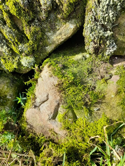
The woodland is characterized by a diverse range of tree species, including oak, ash, birch, and beech. These towering trees create a dense canopy that provides shade and shelter for a variety of wildlife. Visitors to Briery Field Wood can expect to encounter an array of bird species, such as woodpeckers, owls, and songbirds, as well as small mammals like squirrels and rabbits.

Tranquil walking paths wind their way through the woodland, allowing visitors to explore its natural beauty at their own pace. Along the way, one can discover hidden ponds, babbling brooks, and vibrant wildflowers that add to the enchanting atmosphere. The wood is also home to several designated picnic areas, where visitors can relax and enjoy a meal surrounded by the sights and sounds of nature.

Briery Field Wood is a haven for outdoor enthusiasts, offering opportunities for activities like birdwatching, photography, and nature study. It is managed by a local conservation group, which ensures that the woodland is well-maintained and protected for future generations to enjoy.

With its serene ambiance and abundant wildlife, Briery Field Wood is a true gem in the Lancashire countryside, providing a peaceful escape for visitors seeking solace in nature's embrace.

If you have any feedback on the listing, please let us know in the comments section below.

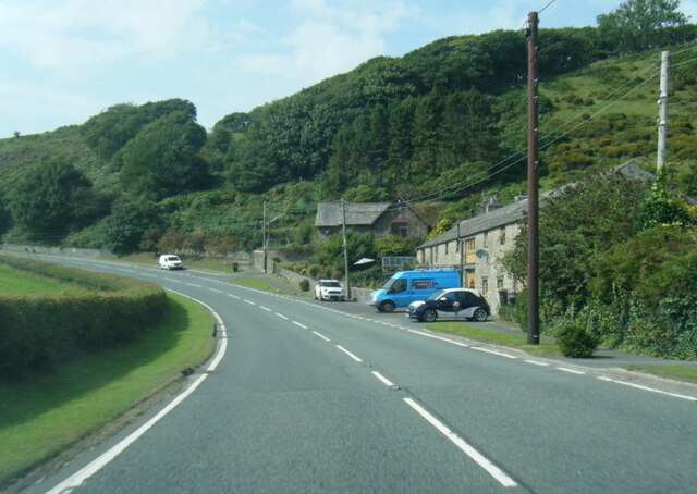
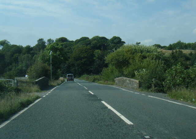
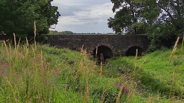
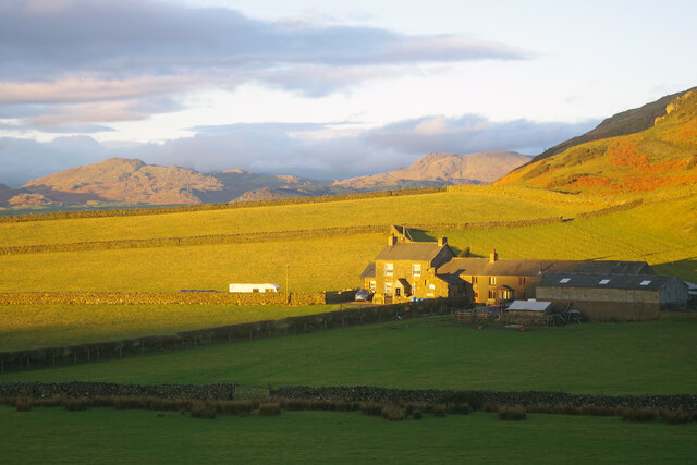
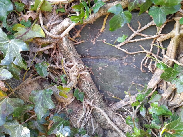
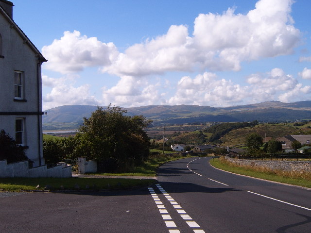
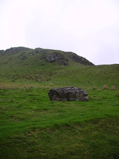
Briery Field Wood Images

Images are sourced within 2km of 54.259236/-3.1666455 or Grid Reference SD2485. Thanks to Geograph Open Source API. All images are credited.
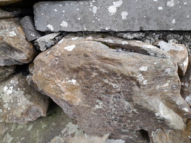
A595 at Ellermire Bridge
A595 at Galloper Pool Bridge
Wreaks Causeway End Bridge over Kirkby Pool Wreaks Causeway End Bridge carrying the A595.
Listed Building entry number 1138084. Grade II.
Listing includes carvings on the coping stones of the parapets.
<span class="nowrap"><a title="https://historicengland.org.uk/listing/the-list/list-entry/1138084?section=official-listing" rel="nofollow ugc noopener" href="https://historicengland.org.uk/listing/the-list/list-entry/1138084?section=official-listing">Link</a><img style="margin-left:2px;" alt="External link" title="External link - shift click to open in new window" src="https://s1.geograph.org.uk/img/external.png" width="10" height="10"/></span>
Wreaks Causeway End Bridge over Kirkby Pool
Wreaks Causeway End Bridge carrying the A595. Listed Building entry number 1138084. Grade II. Listing includes carvings on the coping stones of the parapets. LinkExternal link
Carved words on Wreaks Causeway End Bridge Wreaks Causeway End Bridge carrying the A595.
Listed Building entry number 1138084. Grade II.
Listing includes carvings on the coping stones of the parapets.
<span class="nowrap"><a title="https://historicengland.org.uk/listing/the-list/list-entry/1138084?section=official-listing" rel="nofollow ugc noopener" href="https://historicengland.org.uk/listing/the-list/list-entry/1138084?section=official-listing">Link</a><img style="margin-left:2px;" alt="External link" title="External link - shift click to open in new window" src="https://s1.geograph.org.uk/img/external.png" width="10" height="10"/></span>

"Do not stop long at the fair". One of many carvings on the parapets. Many of the stones have been damaged, presumably during bridge widening. Other carvings include "Yellow for ever", "Be kind to the poor", "A sensible man wont offend me and no other can", "Forget me not", "Happy land", "England for ever", "I can paddle my own canoe", "Tomorrow may be silent", "Thomas Dawson post messenger arrives [6 10 a m]".
Carved words on Wreaks Causeway End Bridge
Wreaks Causeway End Bridge carrying the A595. Listed Building entry number 1138084. Grade II. Listing includes carvings on the coping stones of the parapets. LinkExternal link "Do not stop long at the fair". One of many carvings on the parapets. Many of the stones have been damaged, presumably during bridge widening. Other carvings include "Yellow for ever", "Be kind to the poor", "A sensible man wont offend me and no other can", "Forget me not", "Happy land", "England for ever", "I can paddle my own canoe", "Tomorrow may be silent", "Thomas Dawson post messenger arrives [6 10 a m]".
Moorhouse Farm After a generally dull day, a burst of afternoon sunshine picks out the fells beyond Moorhouse Farm.
Moorhouse Farm
After a generally dull day, a burst of afternoon sunshine picks out the fells beyond Moorhouse Farm.
Ordnance Survey Cut Mark This OS cut mark can be found on the north parapet of Galloper Pool Bridge. It marks a point 6.352m above mean sea level.
Ordnance Survey Cut Mark
This OS cut mark can be found on the north parapet of Galloper Pool Bridge. It marks a point 6.352m above mean sea level.
Ordnance Survey Flush Bracket (G2834) This OS Flush Bracket can be found on the north buttress of Wreaks Causeway Bridge. It marks a point 6.471m above mean sea level.
Ordnance Survey Flush Bracket (G2834)
This OS Flush Bracket can be found on the north buttress of Wreaks Causeway Bridge. It marks a point 6.471m above mean sea level.
Remains of OSBM Bolt The hole and remains of bolt thread can be found on a large boulder in field wall. It marked a point 170.505m above mean sea level.
Remains of OSBM Bolt
The hole and remains of bolt thread can be found on a large boulder in field wall. It marked a point 170.505m above mean sea level.
Ordnance Survey Rivet This OS rivet can be found on the wall east side of Woodlands Road. It marks a point 79.376m above mean sea level.
Ordnance Survey Rivet
This OS rivet can be found on the wall east side of Woodlands Road. It marks a point 79.376m above mean sea level.
Ordnance Survey Rivet This OS rivet can be found on the wall west side of Woodlands Road. It marks a point 93.637m above mean sea level.
Ordnance Survey Rivet
This OS rivet can be found on the wall west side of Woodlands Road. It marks a point 93.637m above mean sea level.
Ordnance Survey Rivet This OS rivet can be found on the wall east side of Woodlands Road. It marks a point 69.758m above mean sea level.
Ordnance Survey Rivet
This OS rivet can be found on the wall east side of Woodlands Road. It marks a point 69.758m above mean sea level.
Ordnance Survey Flush Bracket (S7106) This OS Flush Bracket can be found on old school building which is now a private property. It marks a point 14.673m above mean sea level.
Ordnance Survey Flush Bracket (S7106)
This OS Flush Bracket can be found on old school building which is now a private property. It marks a point 14.673m above mean sea level.
Ordnance Survey Cut Mark This OS cut mark can be found on the NE parapet of Ellermire Bridge. It marks a point 11.408m above mean sea level.
Ordnance Survey Cut Mark
This OS cut mark can be found on the NE parapet of Ellermire Bridge. It marks a point 11.408m above mean sea level.
Ordnance Survey Cut Mark This OS cut mark can be found on the house which was once the Mission Church. It marks a point 12.722m above mean sea level.
Ordnance Survey Cut Mark
This OS cut mark can be found on the house which was once the Mission Church. It marks a point 12.722m above mean sea level.
Ordnance Survey Cut Mark This OS cut mark can be found on the gatepost east side of Woodlands Road. It marks a point 34.203m above mean sea level.
Ordnance Survey Cut Mark
This OS cut mark can be found on the gatepost east side of Woodlands Road. It marks a point 34.203m above mean sea level.
Ordnance Survey Cut Mark This OS cut mark can be found on the gatepost of The Hermitage. It marks a point 29.942m above mean sea level.
Ordnance Survey Cut Mark
This OS cut mark can be found on the gatepost of The Hermitage. It marks a point 29.942m above mean sea level.
Ordnance Survey Cut Mark This hidden OS cut mark can be found on the wall SW side of the road. It marks a point 32.935m above mean sea level.
Ordnance Survey Cut Mark
This hidden OS cut mark can be found on the wall SW side of the road. It marks a point 32.935m above mean sea level.
Hallstead Farm
Hallstead Farm
Show me another place!

Briery Field Wood is located at Grid Ref: SD2485 (Lat: 54.259236, Lng: -3.1666455)

Administrative County: Cumbria

District: South Lakeland

Police Authority: Cumbria

What 3 Words

///beakers.obstinate.enjoyable. Near Ulverston, Cumbria

Related Wikis

Beanthwaite

Beanthwaite is a hamlet in Cumbria, England.

Kirkby Slate Quarries

Kirkby Slate Quarries, formally known as Burlington Slate Quarries, are located near Kirkby-in-Furness in Cumbria, England. The quarries have produced...

Burney (hill)

Burney is a hill in Cumbria, England, to the north of the A5092 road between Greenodd and Broughton-in-Furness. It is the subject of a chapter of Wainwright...

Kirkby Moor

Kirkby Moor is a poorly defined moorland area in southern Cumbria, England, named after the village of Kirkby-in-Furness, but stretching both sides of...

Angerton, South Lakeland

Angerton is a civil parish in the Westmorland and Furness district of the ceremonial county of Cumbria, England, historically part of the Furness portion...

Gawthwaite

Gawthwaite is a village in Cumbria, England. It is located along the A5092 road, 4.8 miles (7.7 km) north of Ulverston. It is on the Grize Beck stream...

Foxfield, Cumbria

Foxfield is a village on the west coast of Cumbria, England, in the Furness district that was part of Lancashire from 1182 to 1974. It lies on the Duddon...

Eccle Riggs

Eccle Riggs is a country house located on Eccle Riggs, a ridge of land about 0.75 miles (1.2 km) to the south of Broughton-in-Furness, Cumbria, England...

Nearby Amenities

Located within 500m of 54.259236,-3.1666455
Barrier: cattle_grid
Lat/Long: 54.2575929/-3.1734555
Barrier: cattle_grid
Lat/Long: 54.2613901/-3.1710748
Post Box
Collection Times: Mo-Fr 16:15; Sa 09:15
Drive Through: no
Post Box Type: wall
Ref: LA17 123
Lat/Long: 54.2554341/-3.1703744
Ellermire Bridge
Note: Is likely the former Ellermire Bridge was removed on road widening and the beck culverted but the name remains.
Place: locality
Lat/Long: 54.2567124/-3.1722607
Bus Stop
Grizebeck Service Station
Bench: yes
Bin: no
Bus: yes
Lit: no
Public Transport: platform
Shelter: yes
Tactile Paving: no
Lat/Long: 54.2559069/-3.170791
Give Way
Direction: backward
Lat/Long: 54.2559568/-3.17049
Give Way
Direction: backward
Lat/Long: 54.2557695/-3.1698177
Give Way
Direction: backward
Lat/Long: 54.2558092/-3.1707109
Give Way
Direction: forward
Lat/Long: 54.2562074/-3.1710441
Give Way
Direction: backward
Lat/Long: 54.2554539/-3.1704798
Grit Bin
Lat/Long: 54.2553715/-3.1701883
Telephone
Defibrillator
Booth: KX100
Covered: booth
Defibrillator Location: inside phone box next to Greyhound pub in Grizebeck
Emergency: defibrillator
Man Made: telephone_box
Lat/Long: 54.2553521/-3.1698662
Grizebeck
Place: village
Wikidata: Q2319318
Wikipedia: en:Kirkby Ireleth
Lat/Long: 54.2561078/-3.1719415
Power: pole
Lat/Long: 54.2602508/-3.1707799
Power: pole
Lat/Long: 54.2611869/-3.1702282
Power: pole
Lat/Long: 54.2621204/-3.1696651
Power: pole
Lat/Long: 54.2629433/-3.1691977
The data included in this document is from www.openstreetmap.org. The data is made available under ODbL.

Have you been to Briery Field Wood?

Leave your review of Briery Field Wood below (or comments, questions and feedback).