Blake's Copse

Wood, Forest in Somerset Somerset West and Taunton

England

Blake's Copse

Corfe Farmland Residential housing dotted on farmland on the outskirts of Corfe, Somerset.
Corfe Farmland Credit: John Allan

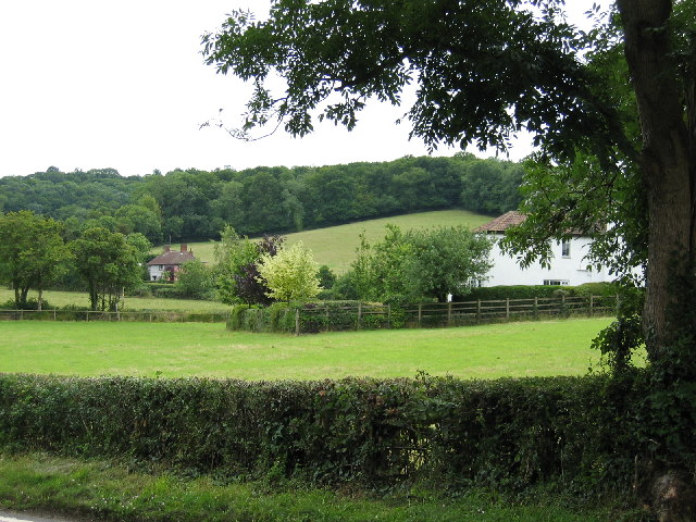
Blake's Copse is a picturesque woodland located in Somerset, England. Covering an area of approximately 50 acres, it is a haven for nature enthusiasts and those seeking tranquility amidst the beauty of the natural world. The copse is situated near the village of Blake's Hill, from which it takes its name.

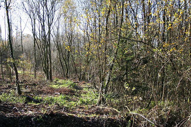
The woodland is characterized by its dense canopy of mature trees, predominantly oak and beech, which provide a sheltered habitat for a wide variety of flora and fauna. Walking through the copse, visitors are greeted by a carpet of bluebells in the spring, creating a breathtakingly vibrant scene. In summer, the woodland is adorned with an array of wildflowers, including primroses and foxgloves.

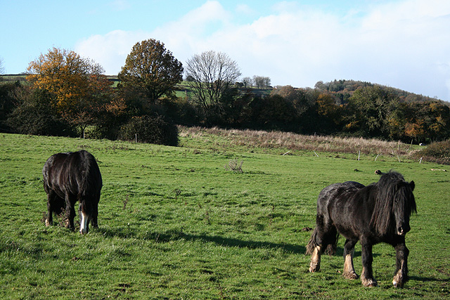
Blake's Copse is home to a diverse range of wildlife. Birdwatchers can spot species such as woodpeckers, nuthatches, and tawny owls, while small mammals like badgers, foxes, and squirrels can be seen scurrying among the undergrowth. The copse also boasts a rich insect population, with butterflies and dragonflies fluttering through the sun-dappled glades.

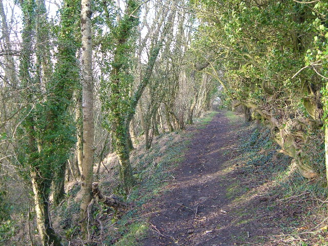
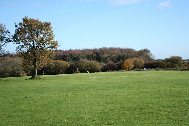
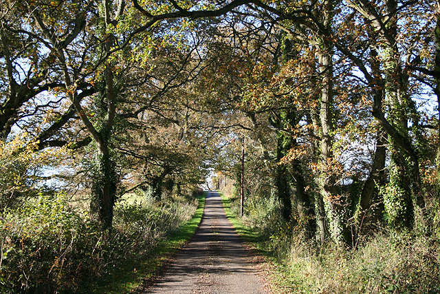
The copse is a popular destination for outdoor enthusiasts, offering a network of well-maintained footpaths that wind through the woodland. These pathways allow visitors to explore the copse at their own pace, while benches and picnic areas provide opportunities for rest and relaxation.

Blake's Copse is not only a natural treasure but also an important site for conservation. The copse is managed by a local conservation group, which ensures that the woodland remains protected and preserved for future generations to enjoy.

If you have any feedback on the listing, please let us know in the comments section below.

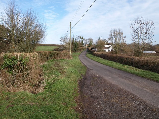
Blake's Copse Images

Images are sourced within 2km of 50.952958/-3.0818841 or Grid Reference ST2417. Thanks to Geograph Open Source API. All images are credited.

Corfe Farmland Residential housing dotted on farmland on the outskirts of Corfe, Somerset.
Corfe Farmland
Residential housing dotted on farmland on the outskirts of Corfe, Somerset.
Staple Hill, Blackdown Hills Two different eras of field boundary represented, within a few yards of the highest point on the Blackdown Hills, over 300 metres (Staple Hill, in woodland to the right). Looking roughly SW, with the rolling plateau behind.
Staple Hill, Blackdown Hills
Two different eras of field boundary represented, within a few yards of the highest point on the Blackdown Hills, over 300 metres (Staple Hill, in woodland to the right). Looking roughly SW, with the rolling plateau behind.
Adcombe Wood A bridlepath on the brink of the Blackdown Hills, with the gentle slopes of Adcombe Hill behind the trees on the right, while on the left Adcombe Wood plunges down the scarp into a side valley. View looking roughly north-west, probably from ST 224 178
Adcombe Wood
A bridlepath on the brink of the Blackdown Hills, with the gentle slopes of Adcombe Hill behind the trees on the right, while on the left Adcombe Wood plunges down the scarp into a side valley. View looking roughly north-west, probably from ST 224 178
Murlinch Wood, Woodram Looking northeast along the wooded scarp of the Blackdown Hills, with the fields around Woodram below, and the houses of Corfe village under Pickeridge Hill beyond. Taken from where Woodram Lane, here byway T 21/84, emerges from the woods. See also <a href="https://www.geograph.org.uk/photo/1609699">ST2218 : Fields southwest of Corfe</a>.
Murlinch Wood, Woodram
Looking northeast along the wooded scarp of the Blackdown Hills, with the fields around Woodram below, and the houses of Corfe village under Pickeridge Hill beyond. Taken from where Woodram Lane, here byway T 21/84, emerges from the woods. See also ST2218 : Fields southwest of Corfe.
Mount Fancy Farm This farm is set high amid clearings on the Blackdown Hills, at the end of its own long access road. 2:48 pm.
Mount Fancy Farm
This farm is set high amid clearings on the Blackdown Hills, at the end of its own long access road. 2:48 pm.
Pitminster: on Adcombe Hill Looking east-south-east towards Hurley’s Farm on a sultry July afternoon
Pitminster: on Adcombe Hill
Looking east-south-east towards Hurley’s Farm on a sultry July afternoon
Pitminster: footpath at Feltham The path leads to Hurley’s Farm and Old Combe Hill. Looking north-north-east
Pitminster: footpath at Feltham
The path leads to Hurley’s Farm and Old Combe Hill. Looking north-north-east
Buckland St Mary: near Beeches Farm By Staple Hill. Looking south on the lane to Howstead
Buckland St Mary: near Beeches Farm
By Staple Hill. Looking south on the lane to Howstead
Corfe: Taunton and Pickeridge Golf Club Looking east-north-east by the car park, The course is on Pickeridge Hill, on the Blackdowns
Corfe: Taunton and Pickeridge Golf Club
Looking east-north-east by the car park, The course is on Pickeridge Hill, on the Blackdowns
Corfe: lane near Lawns Farm Looking west
Corfe: lane near Lawns Farm
Looking west
Corfe: on Whitford Hill Looking west-south-west
Corfe: on Whitford Hill
Looking west-south-west
Staple Fitzpaine: above Bow Green By Underhill Lane, looking north east on the north-eastern flanks of the Blackdown Hills. Mendip hills are on the furthest horizon.
Staple Fitzpaine: above Bow Green
By Underhill Lane, looking north east on the north-eastern flanks of the Blackdown Hills. Mendip hills are on the furthest horizon.
Staple Fitzpaine: Staple Park Wood On the edge of a Forestry Commission plantation, looking south west
Staple Fitzpaine: Staple Park Wood
On the edge of a Forestry Commission plantation, looking south west
Staple Fitzpaine: Staple Lawns The green bridleway, left, runs to Lawns Farm and Pickeridge Hill and the muddy track on the right heads for Witch Lodge. Looking north west
Staple Fitzpaine: Staple Lawns
The green bridleway, left, runs to Lawns Farm and Pickeridge Hill and the muddy track on the right heads for Witch Lodge. Looking north west
Houses - one being re-built - near Holman Clavel These buildings are close to the cross roads with the B3170.
Houses - one being re-built - near Holman Clavel
These buildings are close to the cross roads with the B3170.
Crossroads with old roadsign, near Holman Clavel The main road is the B3170.
Crossroads with old roadsign, near Holman Clavel
The main road is the B3170.
Entrance to Forestry Commission land, Staple Hill The post indicates a "restricted byway".
Entrance to Forestry Commission land, Staple Hill
The post indicates a "restricted byway".
Lane to Corfe The lane from Feltham approaches Corfe. The variable width of the verges and the area enclosed by hedges gives it the flavour of a drove.
Lane to Corfe
The lane from Feltham approaches Corfe. The variable width of the verges and the area enclosed by hedges gives it the flavour of a drove.
Show me another place!

Blake's Copse is located at Grid Ref: ST2417 (Lat: 50.952958, Lng: -3.0818841)

Administrative County: Somerset

District: Somerset West and Taunton

Police Authority: Avon and Somerset

What 3 Words

///walled.reactions.years. Near Taunton, Somerset

Related Wikis

Staple Hill (Somerset)

Staple Hill is a hill in the English county of Somerset, the highest point in the Blackdown Hills. It is classed as both a Marilyn and a Hardy. This is...

Ruttersleigh

Ruttersleigh (grid reference ST250165) is a 97 hectares (240 acres) biological Site of Special Scientific Interest between Buckland St Mary and Staple...

Prior's Park & Adcombe Wood

Prior's Park & Adcombe Wood (grid reference ST225170) is a 103.6 hectare (256.0 acre) biological Site of Special Scientific Interest south of Pitminster...

Corfe

Corfe is a village and civil parish in Somerset, England, situated below the Blackdown Hills 4 miles (6.4 km) south of Taunton. The village has a population...

Nearby Amenities

Located within 500m of 50.952958,-3.0818841
Historic: milepost
Inscription: Taunton 5 Miles
Lat/Long: 50.9554762/-3.0811331
The data included in this document is from www.openstreetmap.org. The data is made available under ODbL.

Have you been to Blake's Copse?

Leave your review of Blake's Copse below (or comments, questions and feedback).