Firgrove Covert

Wood, Forest in Somerset Sedgemoor

England

Firgrove Covert

Lower Cock Farm 25 acre farm located on the edge of Sedgemoor D.C. The property is not grade listed but thought to be originally built around 1880.
Lower Cock Farm Credit: Iain Laslett

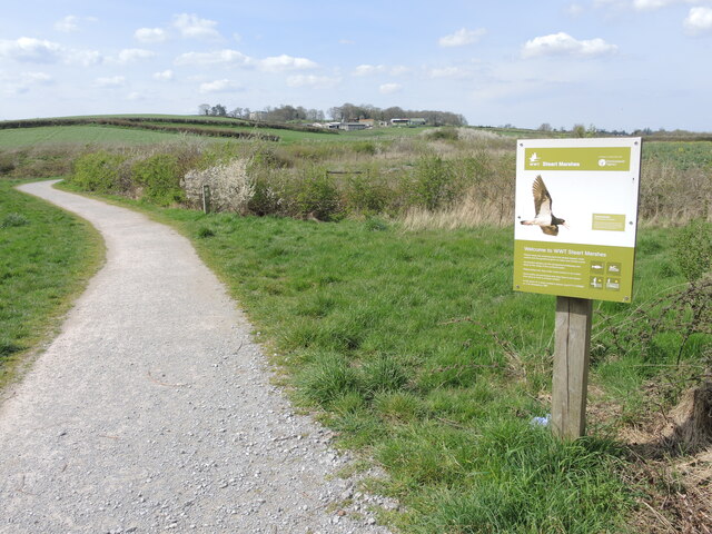
Firgrove Covert, located in Somerset, England, is a picturesque woodland area that is often referred to as a hidden gem. Encompassing an area of approximately 100 acres, it is a haven for nature enthusiasts and those seeking tranquility away from the hustle and bustle of urban life.

The woodland is predominantly made up of native tree species such as oak, beech, and birch, which create a dense canopy overhead, providing shade and shelter for a diverse range of flora and fauna. The forest floor is adorned with a vibrant carpet of bluebells during the spring, creating a stunningly beautiful sight.

Firgrove Covert offers a variety of well-maintained trails and footpaths that wind through the woods, allowing visitors to explore and immerse themselves in the natural beauty that surrounds them. These paths are suitable for walkers of all abilities, making it an ideal destination for families, hikers, and nature lovers alike.

The woodland is also home to a rich array of wildlife, including deer, badgers, foxes, and a wide variety of bird species. Many visitors have reported spotting rare and elusive creatures such as red squirrels and tawny owls within the peaceful confines of Firgrove Covert.

Managed by a dedicated team of conservationists, the woodland is carefully preserved to protect its ecological value and maintain its natural charm. The management team organizes regular guided walks and educational programs, providing visitors with insights into the forest's history, ecology, and conservation efforts.

Firgrove Covert is a truly enchanting place, where visitors can escape the noise of modern life and connect with the beauty and serenity of nature.

If you have any feedback on the listing, please let us know in the comments section below.

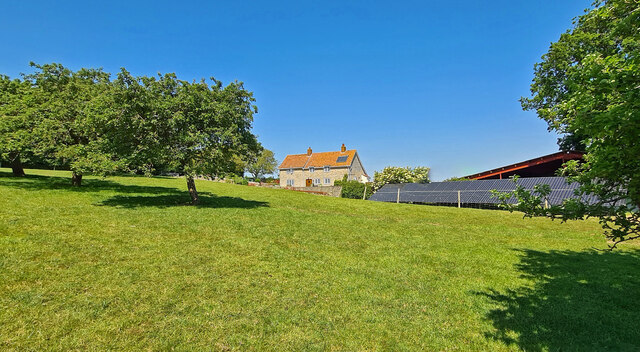
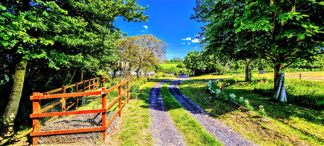
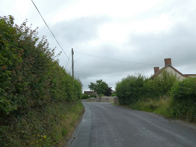
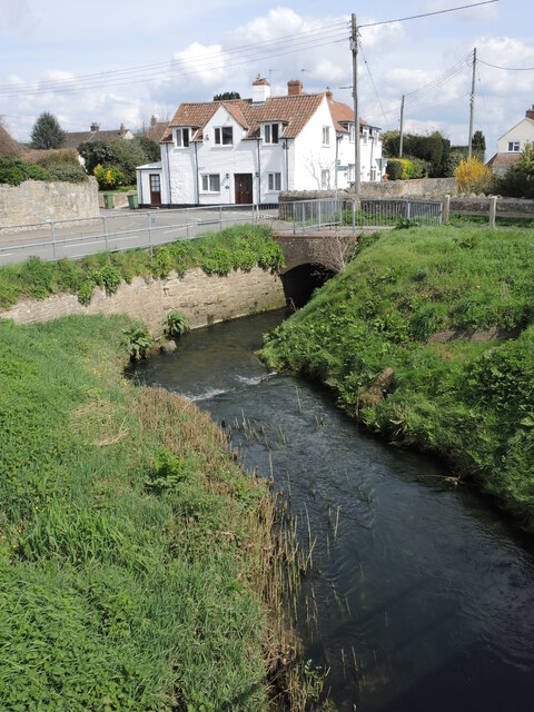
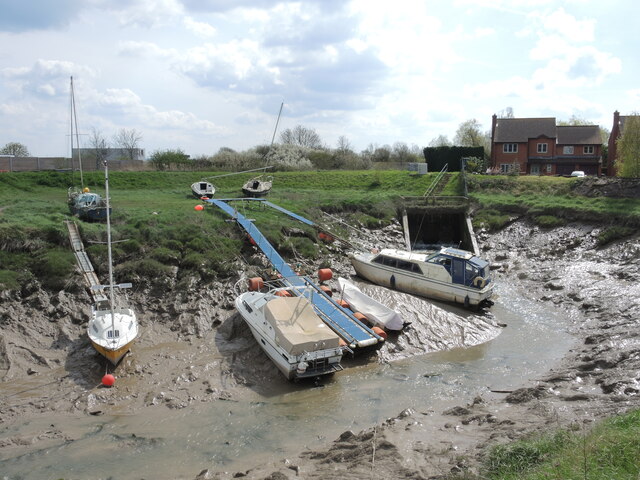
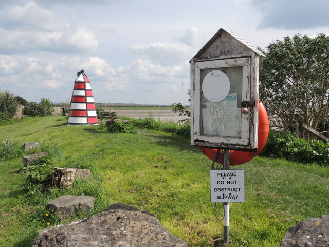
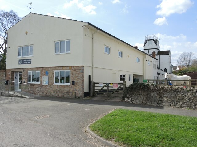
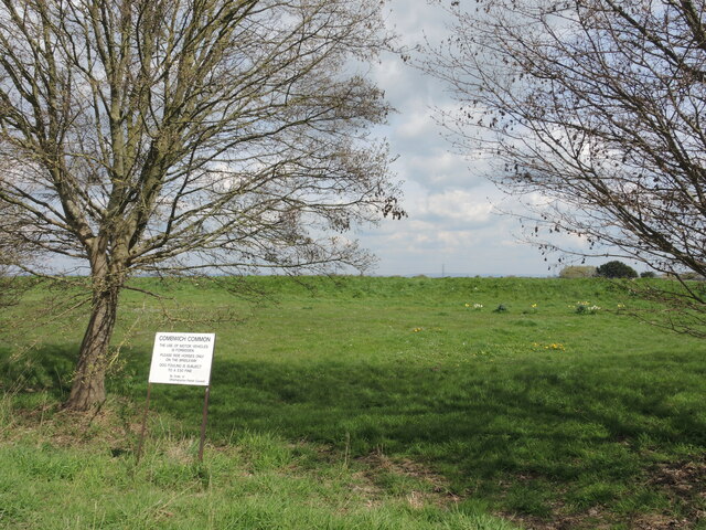
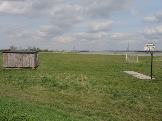
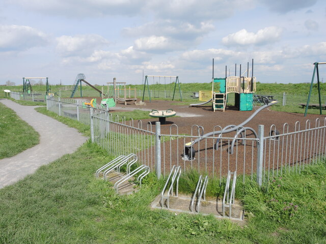
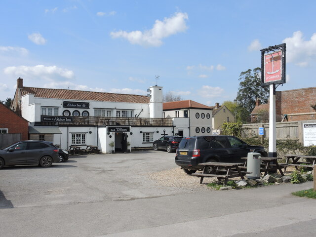
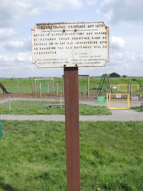
Firgrove Covert Images

Images are sourced within 2km of 51.173176/-3.0855863 or Grid Reference ST2442. Thanks to Geograph Open Source API. All images are credited.

Lower Cock Farm 25 acre farm located on the edge of Sedgemoor D.C. The property is not grade listed but thought to be originally built around 1880.
Lower Cock Farm
25 acre farm located on the edge of Sedgemoor D.C. The property is not grade listed but thought to be originally built around 1880.
Lower Cock Lane Easterly end of Lower Cock Lane.  A country track single lane leading to Lower Cock Farm.
Lower Cock Lane
Easterly end of Lower Cock Lane. A country track single lane leading to Lower Cock Farm.
Hillside Farm, Cockwood
Combwich Pill Weaving its way through the village and just before the sluice.
Combwich Pill
Weaving its way through the village and just before the sluice.
Defibrillator in Combwich Now containing a defibrillator, the classic telephone box stands by the sub-station, which itself is very close to the South Moor Main Brook. This spot shows how the latter was re-routed from its natural path and sent past a sluice.
Defibrillator in Combwich
Now containing a defibrillator, the classic telephone box stands by the sub-station, which itself is very close to the South Moor Main Brook. This spot shows how the latter was re-routed from its natural path and sent past a sluice.
Please don't cut me down! A hand-painted sign on the tree makes for pitiful reading.
Please don't cut me down!
A hand-painted sign on the tree makes for pitiful reading.
Waterside benchmark in Combwich Close to Combwich Pill is a set of steps for access to the boats; set into the concrete is a circular benchmark, typical of the type used by the Environment Agency. Oddly, it has no obvious markings that are the usual case.
Waterside benchmark in Combwich
Close to Combwich Pill is a set of steps for access to the boats; set into the concrete is a circular benchmark, typical of the type used by the Environment Agency. Oddly, it has no obvious markings that are the usual case.
Combwich Pill Reaching out into Combwich Reach and thence into the River Parrett.
Combwich Pill
Reaching out into Combwich Reach and thence into the River Parrett.
Resting on Combwich Pill With the Parrett at low tide the boats in Combwich are sat on the mud. Flexible pathways are an essential requirement to access them.
Resting on Combwich Pill
With the Parrett at low tide the boats in Combwich are sat on the mud. Flexible pathways are an essential requirement to access them.
Slipway in Combwich Pill Along with a noticeboard that also doubles as a lifebelt post, the colourful object beyond is an old marker buoy.
Slipway in Combwich Pill
Along with a noticeboard that also doubles as a lifebelt post, the colourful object beyond is an old marker buoy.
Otterhampton Village Hall Somewhat confusingly, the Otterhampton Hall is in Combwich; the former is a tiny but ancient hamlet to the north - Combwich is now a larger village, encompassed by the parish boundaries.

The hall started as a malthouse and associated with 'The Towers', visible behind it. During WWII the village saw an opportunity to form a better meeting place (previous gatherings were held in a local man's house!) and so purchased the hall in 1944 for £525. Some of the people helped to build and create the hall - all before electricitry had arrived!

The hall was renovated in 1970 and again in 1993, helped by grants from Nuclear Energy.

Neighbouring the hall is a small paddock - home to a large, old, white horse name of Toby.
Otterhampton Village Hall
Somewhat confusingly, the Otterhampton Hall is in Combwich; the former is a tiny but ancient hamlet to the north - Combwich is now a larger village, encompassed by the parish boundaries. The hall started as a malthouse and associated with 'The Towers', visible behind it. During WWII the village saw an opportunity to form a better meeting place (previous gatherings were held in a local man's house!) and so purchased the hall in 1944 for £525. Some of the people helped to build and create the hall - all before electricitry had arrived! The hall was renovated in 1970 and again in 1993, helped by grants from Nuclear Energy. Neighbouring the hall is a small paddock - home to a large, old, white horse name of Toby.
Combwich Common The common is a flat space just behind the embankments of Combwich Reach.
Combwich Common
The common is a flat space just behind the embankments of Combwich Reach.
Combwich leisure space This part of Combwich Common has been set aside with a few pieces of equipment, often singular. As with the rest of the Common, the flood banks are not that high and the river is close at hand.
Combwich leisure space
This part of Combwich Common has been set aside with a few pieces of equipment, often singular. As with the rest of the Common, the flood banks are not that high and the river is close at hand.
Combwich play area A park with lots of new and varied equipment, opened in July, 2020, during the Covid era.
Combwich play area
A park with lots of new and varied equipment, opened in July, 2020, during the Covid era.
The Anchor Inn, Combwich The old watering hole is in Ship Lane, naturally.
The Anchor Inn, Combwich
The old watering hole is in Ship Lane, naturally.
The Somersetshire Drainage Act of 1877 A metal sign informs the populace of the legal ramifications of meddling with the defences or the beach. It is dated November, 1886. Might the law still be on the books?
The Somersetshire Drainage Act of 1877
A metal sign informs the populace of the legal ramifications of meddling with the defences or the beach. It is dated November, 1886. Might the law still be on the books?
Defibrillator on the Anchor Inn An unusually colourful A.E.D. on the side wall of the pub.
Defibrillator on the Anchor Inn
An unusually colourful A.E.D. on the side wall of the pub.
Welcome to Steart Marshes A sign denotes that the landscape will be given over more to wildlife. The path generally is close to the riverbanks.
Welcome to Steart Marshes
A sign denotes that the landscape will be given over more to wildlife. The path generally is close to the riverbanks.
Show me another place!

Firgrove Covert is located at Grid Ref: ST2442 (Lat: 51.173176, Lng: -3.0855863)

Administrative County: Somerset

District: Sedgemoor

Police Authority: Avon and Somerset

What 3 Words

///charcoal.slant.mission. Near Nether Stowey, Somerset

Related Wikis

Otterhampton

Otterhampton is a village and civil parish in Somerset, England, between Bridgwater and the Steart Peninsula. The civil parish includes the larger village...

All Saints Church, Otterhampton

All Saints Church in Otterhampton, Somerset, England, overlooks the River Parrett. The church dates from the 14th century. It is recorded in the National...

Combwich

Combwich ( KUM-ij) is a village in the parish of Otterhampton within the Sedgemoor district of Somerset, between Bridgwater and the Steart Peninsula. The...

Stockland Bristol

Stockland Bristol (formerly Stockland Gaunts) is a village and civil parish in Somerset, England, between Bridgwater and the Steart Peninsula. == History... ==

Cannington Camp

Cannington Camp is a Bronze Age and Iron Age hill fort near Cannington, Somerset, England. It is a Scheduled Ancient Monument.The small hill rises to 80...

St Peter's Church, Combwich

St Peter's Church is a Church of England church in Combwich, Somerset, England. The church, which was designed by Charles Knowles, was built in 1867–70...

Brymore Academy

Brymore Academy (formerly Brymore School) is a boys' secondary school with academy status, located in Cannington, Bridgwater, Somerset, England. It is...

Cannington, Somerset

Cannington is a village and civil parish 3 miles (5 km) northwest of Bridgwater in Somerset, England. It lies on the west bank of the River Parret, and...

Nearby Amenities

Located within 500m of 51.173176,-3.0855863
Colour: grey
Design: three-level
Height: 44.29
Line Attachment: suspension
Material: metal
Operator: National Grid
Operator Wikidata: Q1465461
Power: tower
Ref: VQ017
Source: Bing
Source Ref: Bing
Start Date: 1968
Structure: lattice
Lat/Long: 51.1719264/-3.0890896
Colour: grey
Design: three-level
Height: 37.44
Line Attachment: suspension
Material: metal
Operator: National Grid
Operator Wikidata: Q1465461
Power: tower
Ref: VQ018
Source: Bing
Source Ref: Bing
Start Date: 1968
Structure: lattice
Lat/Long: 51.1714024/-3.0856843
Colour: grey
Design: three-level
Height: 37.55
Line Attachment: suspension
Material: metal
Operator: National Grid
Operator Wikidata: Q1465461
Power: tower
Ref: VQ016
Source: Bing
Source Ref: Bing
Start Date: 1968
Structure: lattice
Lat/Long: 51.1743732/-3.0920144
Colour: grey
Design: three-level
Height: 27.14
Line Attachment: suspension
Material: metal
Operator: National Grid
Operator Wikidata: Q1465461
Power: tower
Ref: VQ019
Source: Bing
Source Ref: Bing
Start Date: 1968
Structure: lattice
Lat/Long: 51.1708569/-3.0816497
Firgrove Covert
Place: locality
Lat/Long: 51.1731382/-3.0850832
The data included in this document is from www.openstreetmap.org. The data is made available under ODbL.

Have you been to Firgrove Covert?

Leave your review of Firgrove Covert below (or comments, questions and feedback).