Hamlet's Wood

Wood, Forest in Somerset Sedgemoor

England

Hamlet's Wood

Lower Cock Farm 25 acre farm located on the edge of Sedgemoor D.C. The property is not grade listed but thought to be originally built around 1880.
Lower Cock Farm Credit: Iain Laslett

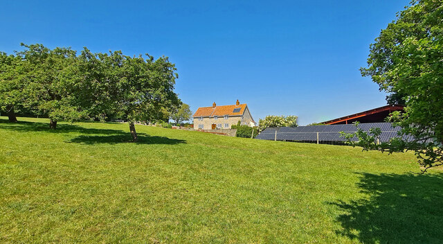
Hamlet's Wood is a picturesque forest located in Somerset, England. Spanning over a vast area, it is known for its dense vegetation, towering trees, and tranquil atmosphere, making it a popular destination for nature enthusiasts and hikers alike.

The wood is home to a diverse range of flora and fauna. The canopy of the forest is dominated by majestic oak, beech, and ash trees, which provide shade and shelter to a variety of wildlife. Rare and protected species such as the red deer, badgers, and foxes can often be spotted roaming freely within the wood. Additionally, the wood is a haven for birdwatchers, as it attracts a wide array of bird species, including woodpeckers, owls, and songbirds.

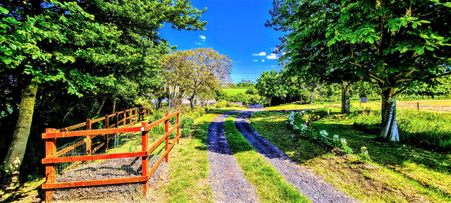
Traversing through the wood, visitors can find numerous winding trails and footpaths that offer a chance to explore the beauty and serenity of the surroundings. The forest floor is adorned with a vibrant carpet of wildflowers during the spring and summer months, creating a vivid and enchanting landscape.

Hamlet's Wood holds historical significance as well. It is believed to have been a hunting ground for noble families in the past, and remnants of ancient structures can still be found within the wood, adding an air of mystery and intrigue.

Whether one seeks solitude amidst nature or wishes to embark on an adventure, Hamlet's Wood offers an idyllic setting to escape the hustle and bustle of daily life and immerse oneself in the beauty of the natural world.

If you have any feedback on the listing, please let us know in the comments section below.

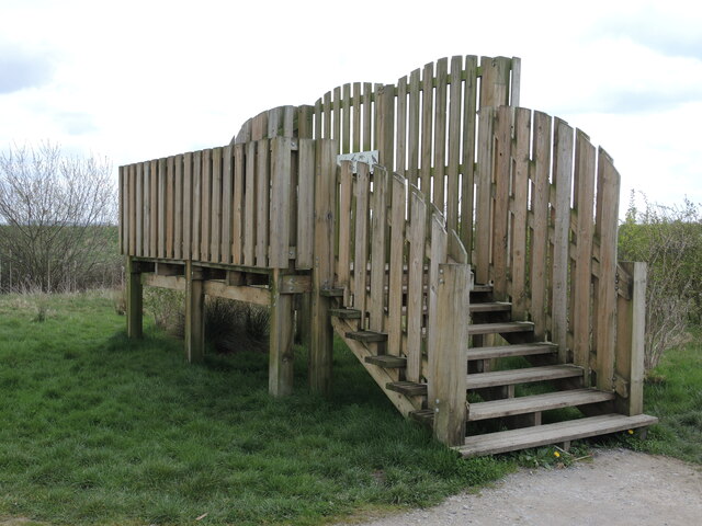
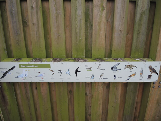
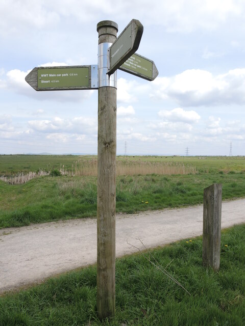
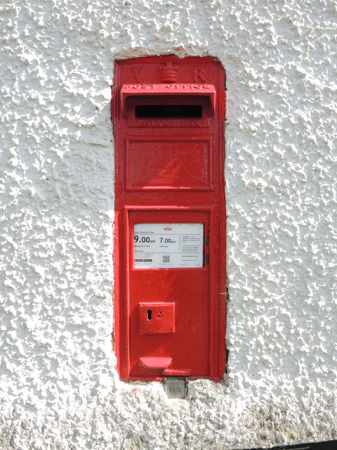
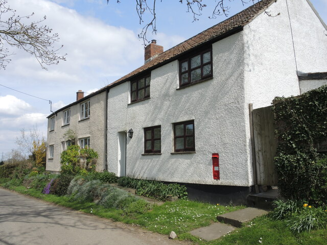
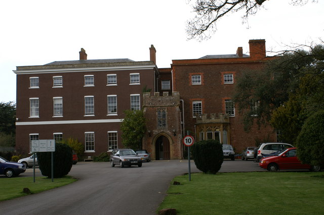
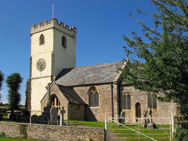
Hamlet's Wood Images

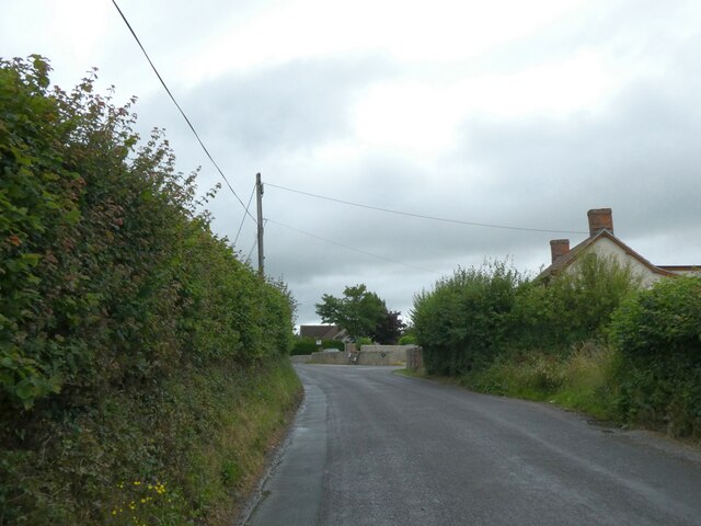
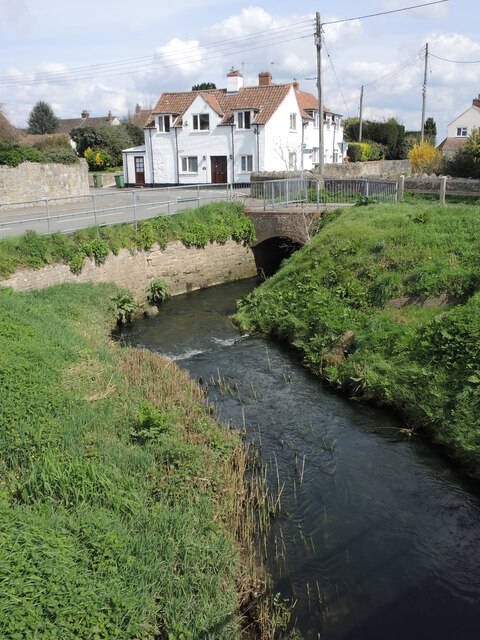
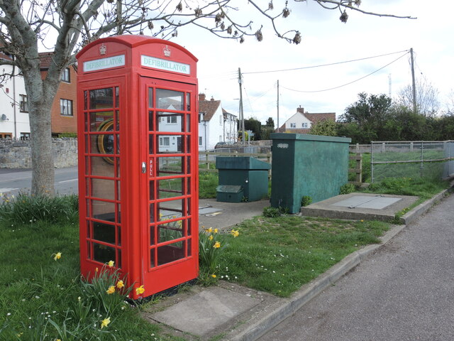
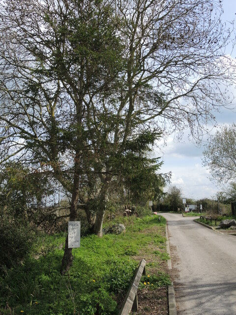
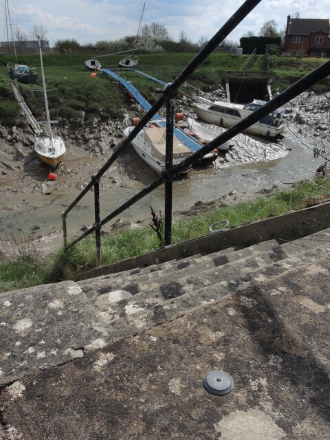
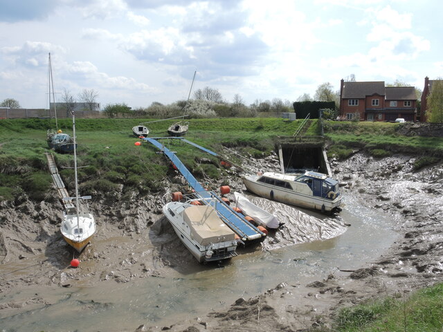
Images are sourced within 2km of 51.173252/-3.0880771 or Grid Reference ST2442. Thanks to Geograph Open Source API. All images are credited.

Lower Cock Farm 25 acre farm located on the edge of Sedgemoor D.C. The property is not grade listed but thought to be originally built around 1880.
Lower Cock Farm
25 acre farm located on the edge of Sedgemoor D.C. The property is not grade listed but thought to be originally built around 1880.
Lower Cock Lane Easterly end of Lower Cock Lane.  A country track single lane leading to Lower Cock Farm.
Lower Cock Lane
Easterly end of Lower Cock Lane. A country track single lane leading to Lower Cock Farm.
Hillside Farm, Cockwood
Combwich Pill Weaving its way through the village and just before the sluice.
Combwich Pill
Weaving its way through the village and just before the sluice.
Defibrillator in Combwich Now containing a defibrillator, the classic telephone box stands by the sub-station, which itself is very close to the South Moor Main Brook. This spot shows how the latter was re-routed from its natural path and sent past a sluice.
Defibrillator in Combwich
Now containing a defibrillator, the classic telephone box stands by the sub-station, which itself is very close to the South Moor Main Brook. This spot shows how the latter was re-routed from its natural path and sent past a sluice.
Please don't cut me down! A hand-painted sign on the tree makes for pitiful reading.
Please don't cut me down!
A hand-painted sign on the tree makes for pitiful reading.
Waterside benchmark in Combwich Close to Combwich Pill is a set of steps for access to the boats; set into the concrete is a circular benchmark, typical of the type used by the Environment Agency. Oddly, it has no obvious markings that are the usual case.
Waterside benchmark in Combwich
Close to Combwich Pill is a set of steps for access to the boats; set into the concrete is a circular benchmark, typical of the type used by the Environment Agency. Oddly, it has no obvious markings that are the usual case.
Resting on Combwich Pill With the Parrett at low tide the boats in Combwich are sat on the mud. Flexible pathways are an essential requirement to access them.
Resting on Combwich Pill
With the Parrett at low tide the boats in Combwich are sat on the mud. Flexible pathways are an essential requirement to access them.
The Anchor Inn, Combwich The old watering hole is in Ship Lane, naturally.
The Anchor Inn, Combwich
The old watering hole is in Ship Lane, naturally.
Defibrillator on the Anchor Inn An unusually colourful A.E.D. on the side wall of the pub.
Defibrillator on the Anchor Inn
An unusually colourful A.E.D. on the side wall of the pub.
Welcome to Steart Marshes A sign denotes that the landscape will be given over more to wildlife. The path generally is close to the riverbanks.
Welcome to Steart Marshes
A sign denotes that the landscape will be given over more to wildlife. The path generally is close to the riverbanks.
A bench and bars on the Steart Marshes Somewhere to park the bikes and park the rear ends whilst in the Marshes.
A bench and bars on the Steart Marshes
Somewhere to park the bikes and park the rear ends whilst in the Marshes.
If you seek a hide The Steart Marshes are a wildlife reserve, principally for the various birds and waterfowl that inhabit the reaches around the River Parrett. Here on the path is a handy and sturdy lookout, with helpful information boards - see <a href="https://www.geograph.org.uk/photo/7474966">ST2543 : Identifying the little brown jobs</a>.
If you seek a hide
The Steart Marshes are a wildlife reserve, principally for the various birds and waterfowl that inhabit the reaches around the River Parrett. Here on the path is a handy and sturdy lookout, with helpful information boards - see ST2543 : Identifying the little brown jobs.
Identifying the little brown jobs The elevated bird hide is open to the elements and all visitors. To aid the bird-watching, it has information boards with images to aid spotting. See <a href="https://www.geograph.org.uk/photo/7474965">ST2543 : If you seek a hide</a> for a look at the open air hide.
Identifying the little brown jobs
The elevated bird hide is open to the elements and all visitors. To aid the bird-watching, it has information boards with images to aid spotting. See ST2543 : If you seek a hide for a look at the open air hide.
Identifying the birds by their appearance The really keen twitchers will doubtless identify birds from their droppings. At least the birds are definitely here and make use of the hide.
Identifying the birds by their appearance
The really keen twitchers will doubtless identify birds from their droppings. At least the birds are definitely here and make use of the hide.
Signpost on the Steart Marshes A sturdy pole with stainless steel fittings and recessed wooden arms.
Signpost on the Steart Marshes
A sturdy pole with stainless steel fittings and recessed wooden arms.
Letterbox at Crossway An old Victorian letterbox is set into the wall of a cottage. See VVVV for a location view.
Letterbox at Crossway
An old Victorian letterbox is set into the wall of a cottage. See VVVV for a location view.
Crossway Cottages A small group of houses near Otterhampton, one with a Victorian letterbox. See VVVV for a closer look at the inset box.
Crossway Cottages
A small group of houses near Otterhampton, one with a Victorian letterbox. See VVVV for a closer look at the inset box.
Show me another place!

Hamlet's Wood is located at Grid Ref: ST2442 (Lat: 51.173252, Lng: -3.0880771)

Administrative County: Somerset

District: Sedgemoor

Police Authority: Avon and Somerset

What 3 Words

///trap.lifters.eternally. Near Nether Stowey, Somerset

Related Wikis

Otterhampton

Otterhampton is a village and civil parish in Somerset, England, between Bridgwater and the Steart Peninsula. The civil parish includes the larger village...

All Saints Church, Otterhampton

All Saints Church in Otterhampton, Somerset, England, overlooks the River Parrett. The church dates from the 14th century. It is recorded in the National...

Combwich

Combwich ( KUM-ij) is a village in the parish of Otterhampton within the Sedgemoor district of Somerset, between Bridgwater and the Steart Peninsula. The...

Stockland Bristol

Stockland Bristol (formerly Stockland Gaunts) is a village and civil parish in Somerset, England, between Bridgwater and the Steart Peninsula. == History... ==

Cannington Camp

Cannington Camp is a Bronze Age and Iron Age hill fort near Cannington, Somerset, England. It is a Scheduled Ancient Monument.The small hill rises to 80...

St Peter's Church, Combwich

St Peter's Church is a Church of England church in Combwich, Somerset, England. The church, which was designed by Charles Knowles, was built in 1867–70...

Brymore Academy

Brymore Academy (formerly Brymore School) is a boys' secondary school with academy status, located in Cannington, Bridgwater, Somerset, England. It is...

Church of St Martin, Fiddington

The Anglican Church of St Martin in Fiddington within the English county of Somerset dates from the 11th century and has been designated by English Heritage...

Nearby Amenities

Located within 500m of 51.173252,-3.0880771
Colour: grey
Design: three-level
Height: 44.29
Line Attachment: suspension
Material: metal
Operator: National Grid
Operator Wikidata: Q1465461
Power: tower
Ref: VQ017
Source: Bing
Source Ref: Bing
Start Date: 1968
Structure: lattice
Lat/Long: 51.1719264/-3.0890896
Colour: grey
Design: three-level
Height: 37.44
Line Attachment: suspension
Material: metal
Operator: National Grid
Operator Wikidata: Q1465461
Power: tower
Ref: VQ018
Source: Bing
Source Ref: Bing
Start Date: 1968
Structure: lattice
Lat/Long: 51.1714024/-3.0856843
Colour: grey
Design: three-level
Height: 37.55
Line Attachment: suspension
Material: metal
Operator: National Grid
Operator Wikidata: Q1465461
Power: tower
Ref: VQ016
Source: Bing
Source Ref: Bing
Start Date: 1968
Structure: lattice
Lat/Long: 51.1743732/-3.0920144
Firgrove Covert
Place: locality
Lat/Long: 51.1731382/-3.0850832
The data included in this document is from www.openstreetmap.org. The data is made available under ODbL.

Have you been to Hamlet's Wood?

Leave your review of Hamlet's Wood below (or comments, questions and feedback).