Adcombe Wood

Wood, Forest in Somerset Somerset West and Taunton

England

Adcombe Wood

Pitminster : Telephone Box An old telephone box is now a place for local maps and a defibrillator.
Pitminster : Telephone Box Credit: Lewis Clarke

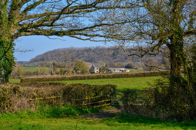
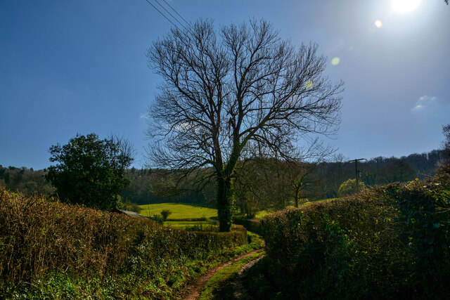
Adcombe Wood is a picturesque woodland located in Somerset, England. Covering an area of approximately 120 acres, it is known for its natural beauty and diverse ecosystem. The wood is situated just a few miles outside of the charming village of Triscombe and is easily accessible by foot or car.

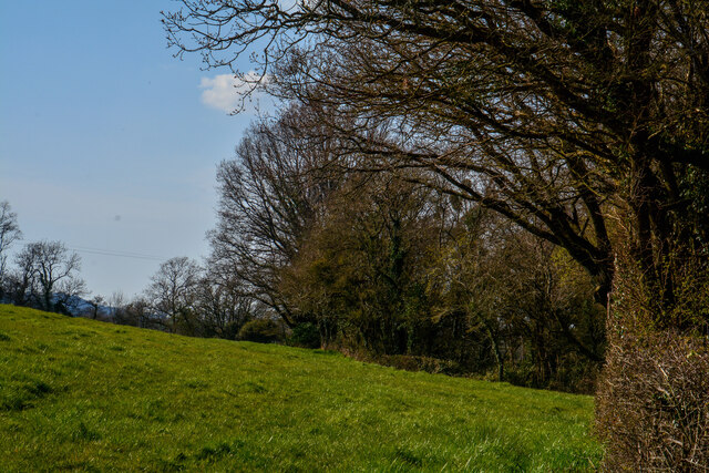
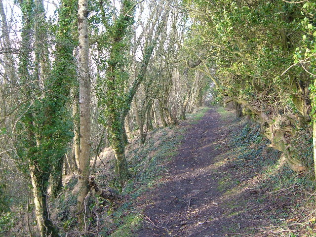
The wood is predominantly made up of broadleaf trees, including oak, beech, and ash, which provide a dense canopy that filters sunlight and creates a cool and tranquil ambience. The forest floor is covered in a carpet of ferns, bluebells, and wildflowers, adding to its enchanting appeal.

Adcombe Wood is a haven for wildlife enthusiasts, as it is home to a wide variety of flora and fauna. Bird species such as woodpeckers, owls, and songbirds can be heard singing their melodies throughout the day. Deer, badgers, and foxes are among the mammals that can be spotted in the woodland, making it an ideal destination for nature lovers and photographers.

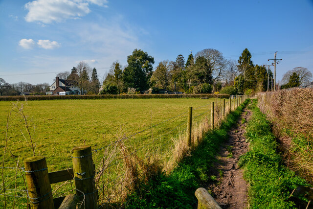
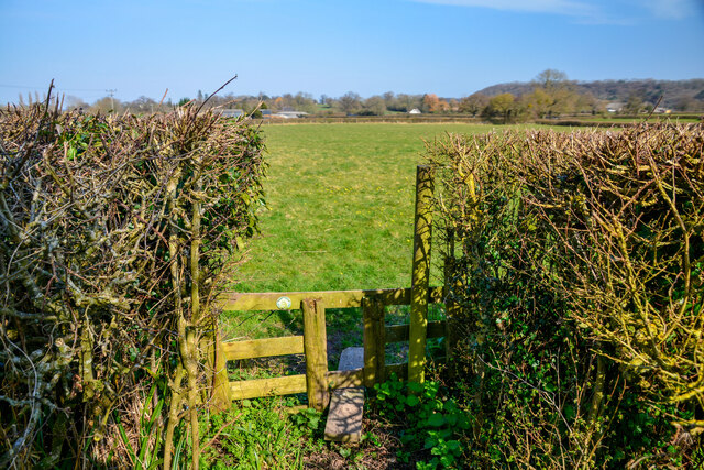
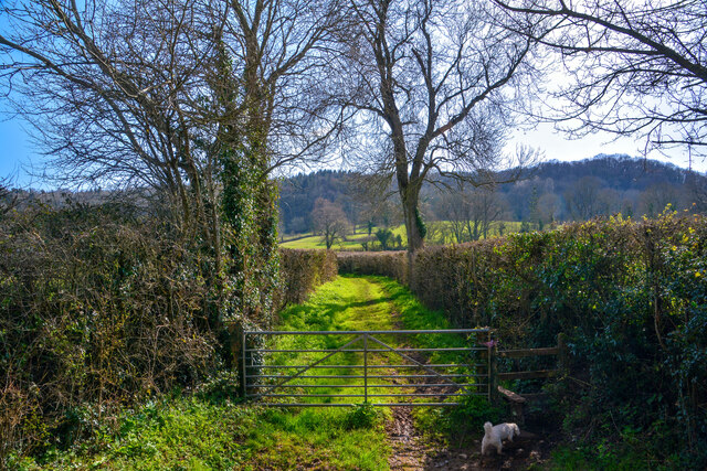
The wood offers several walking trails, allowing visitors to explore its beauty at their own pace. There are also picnic areas strategically placed throughout the wood, perfect for those seeking a peaceful spot to enjoy a packed lunch.

Adcombe Wood is a popular destination for families, walkers, and nature enthusiasts alike. Its natural charm, scenic views, and abundant wildlife make it a must-visit location for anyone seeking a peaceful retreat amidst nature's splendor.

If you have any feedback on the listing, please let us know in the comments section below.
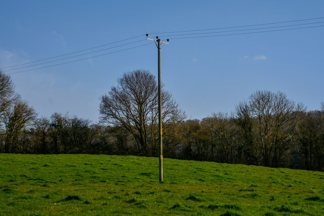
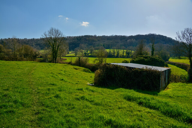
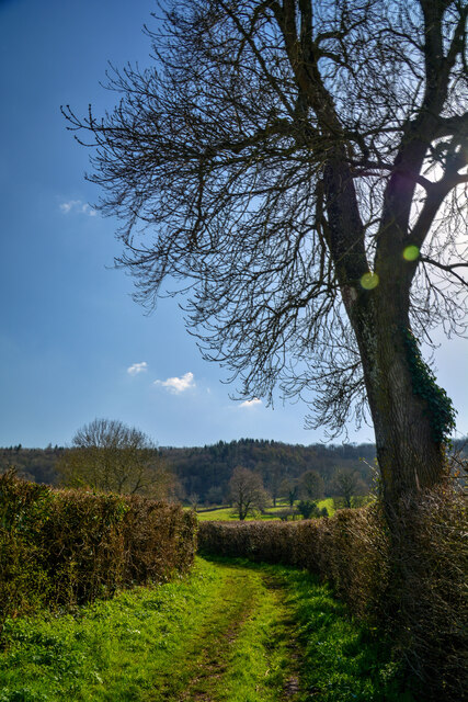
Adcombe Wood Images

Images are sourced within 2km of 50.952571/-3.1078146 or Grid Reference ST2217. Thanks to Geograph Open Source API. All images are credited.

Pitminster : Telephone Box An old telephone box is now a place for local maps and a defibrillator.
Pitminster : Telephone Box
An old telephone box is now a place for local maps and a defibrillator.
Pitminster : St Andrew and St Mary's Church The parish Church of St Andrew and St Mary was built around 1300 and has been designated as a Grade I listed building.
Pitminster : St Andrew and St Mary's Church
The parish Church of St Andrew and St Mary was built around 1300 and has been designated as a Grade I listed building.
Pitminster : St Andrew and St Mary's Church Grounds Burial plots and graves in the churchgrounds.
Pitminster : St Andrew and St Mary's Church Grounds
Burial plots and graves in the churchgrounds.
Pitminster : Footpath A footpath alongside the field.
Pitminster : Footpath
A footpath alongside the field.
Pitminster : Grassy Field A stile provides entrance into the field.
Pitminster : Grassy Field
A stile provides entrance into the field.
Pitminster : Grassy Field Looking across to Woodram.
Pitminster : Grassy Field
Looking across to Woodram.
Pitminster : Grassy Field A power pole in the field.
Pitminster : Grassy Field
A power pole in the field.
Pitminster : Grassy Field A grassy field with a right of way through it.
Pitminster : Grassy Field
A grassy field with a right of way through it.
Pitminster : Grassy Track A track heading through the countryside.
Pitminster : Grassy Track
A track heading through the countryside.
Pitminster : Grassy Track A track and right of way.
Pitminster : Grassy Track
A track and right of way.
Pitminster : Track A track heads through the countryside.
Pitminster : Track
A track heads through the countryside.
Pitminster : Track A track heads through the countryside.
Pitminster : Track
A track heads through the countryside.
Pitminster : Track A track and right of way.
Pitminster : Track
A track and right of way.
Pitminster : Grassy Field A grassy field with a right of way through it.
Pitminster : Grassy Field
A grassy field with a right of way through it.
Show me another place!

Adcombe Wood is located at Grid Ref: ST2217 (Lat: 50.952571, Lng: -3.1078146)

Administrative County: Somerset

District: Somerset West and Taunton

Police Authority: Avon and Somerset

What 3 Words

///livid.beams.barstool. Near Taunton, Somerset

Nearby Locations

Adcombe Wood Adcombe Hill

Related Wikis

Nearby Amenities

Located within 500m of 50.952571,-3.1078146
Power: pole
Lat/Long: 50.9540356/-3.1123173
Power: pole
Lat/Long: 50.9534104/-3.1117594
Power: pole
Lat/Long: 50.9522614/-3.1107804
Power: pole
Lat/Long: 50.9512391/-3.1099248
Power: pole
Lat/Long: 50.9502557/-3.1090128
Power: pole
Lat/Long: 50.9492181/-3.1080446
The data included in this document is from www.openstreetmap.org. The data is made available under ODbL.

Have you been to Adcombe Wood?

Leave your review of Adcombe Wood below (or comments, questions and feedback).