Dry Hall Wood
Wood, Forest in Lancashire South Lakeland
England
Dry Hall Wood
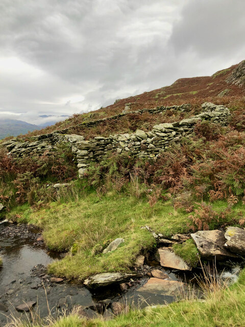
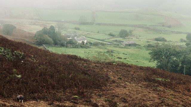
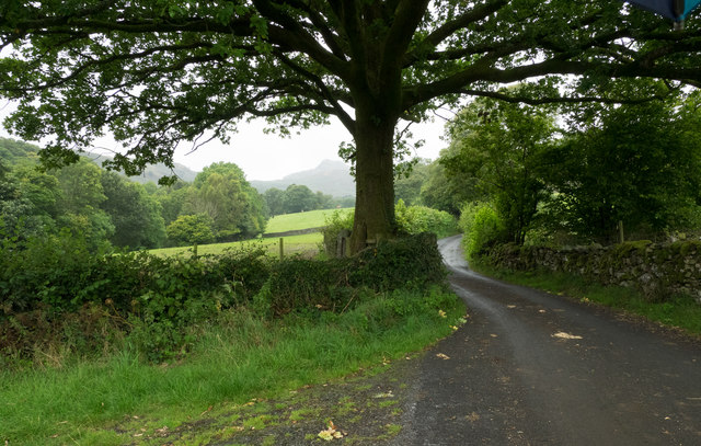
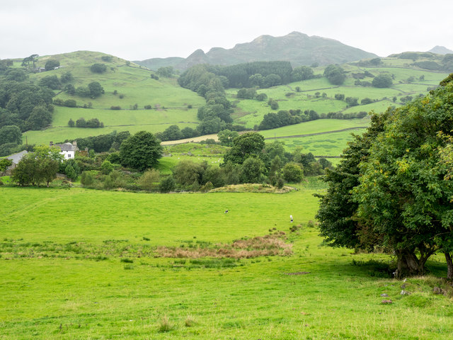
Dry Hall Wood is a picturesque woodland located in the county of Lancashire, England. Covering an area of approximately 100 acres, it is a popular destination for nature lovers, hikers, and outdoor enthusiasts. The wood is situated within the larger Forest of Bowland, an Area of Outstanding Natural Beauty.
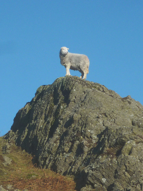
The woodland is predominantly composed of deciduous trees, including oak, beech, and birch, which create a diverse and vibrant canopy. This variety of tree species supports a rich array of flora and fauna, making it a haven for wildlife. Visitors to Dry Hall Wood can expect to encounter a wide range of bird species, such as woodpeckers, thrushes, and owls, as well as small mammals like squirrels and rabbits.
The wood features several well-maintained trails and footpaths, allowing visitors to explore its beauty at their own pace. These paths wind through the trees, offering glimpses of tranquil ponds, babbling brooks, and occasional clearings. The peaceful ambience of Dry Hall Wood makes it an ideal spot for picnics and nature walks, providing a welcome escape from the hustle and bustle of everyday life.
Managed by the local authorities, Dry Hall Wood is carefully preserved to ensure its long-term sustainability. This includes controlled tree felling and the implementation of conservation measures to protect its diverse ecosystem. The wood is open to the public throughout the year, with no entrance fee, making it an accessible and enjoyable natural attraction for locals and tourists alike.
If you have any feedback on the listing, please let us know in the comments section below.
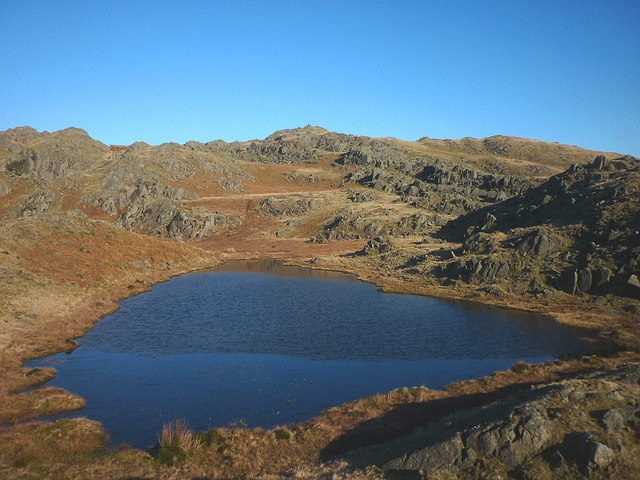
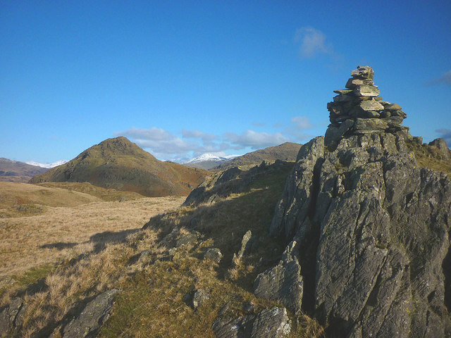
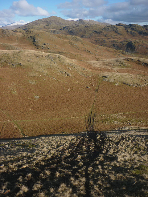
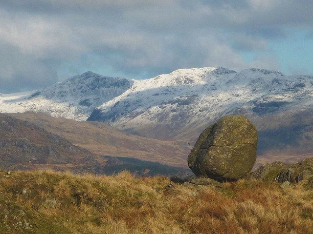
Dry Hall Wood Images
Images are sourced within 2km of 54.318125/-3.2013342 or Grid Reference SD2192. Thanks to Geograph Open Source API. All images are credited.
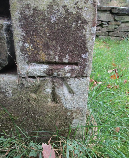
![Stainton Ground Slate Quarry For further info.: ‘Stainton Ground Slate Quarry’. Heritagegateway.org.uk &lt;<span class="nowrap"><a title="https://www.heritagegateway.org.uk/Gateway/Results_Single.aspx?resourceID=801&amp;uid=2888871" rel="nofollow ugc noopener" href="https://www.heritagegateway.org.uk/Gateway/Results_Single.aspx?resourceID=801&amp;uid=2888871">Link</a><img style="margin-left:2px;" alt="External link" title="External link - shift click to open in new window" src="https://s1.geograph.org.uk/img/external.png" width="10" height="10"/></span> &gt; [accessed 18 October 2023]](https://s2.geograph.org.uk/geophotos/07/62/80/7628062_135b0b8c.jpg)

Dry Hall Wood is located at Grid Ref: SD2192 (Lat: 54.318125, Lng: -3.2013342)
Administrative County: Cumbria
District: South Lakeland
Police Authority: Cumbria
What 3 Words
///offerings.poem.nail. Near Millom, Cumbria
Nearby Locations
Related Wikis

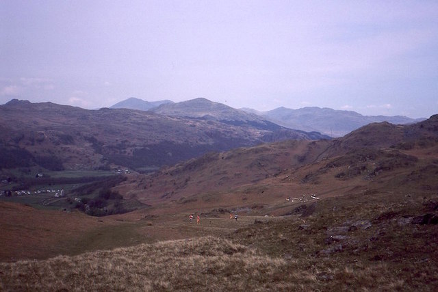
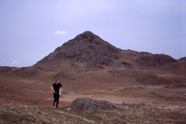
Great Stickle
Great Stickle is a fell located in the southern Lake District of England with an altitude of 305 m (1,001 ft). Alfred Wainwright included it in the Stickle...

Dunnerdale Fells
Dunnerdale Fells is an upland area in the English Lake District, between Ulpha and Broughton Mills, Cumbria. It is the subject of a chapter of Wainwright...

Blacksmiths Arms, Broughton Mills
The Blacksmiths Arms is a Grade II listed public house at Broughton Mills, Cumbria, England.It is on the Campaign for Real Ale's National Inventory of...
Broughton Mills
Broughton Mills is a village in Cumbria, England, located 3.5 kilometres from the larger town of Broughton-in-furness. The village consists of about 40...
Nearby Amenities
Located within 500m of 54.318125,-3.2013342Have you been to Dry Hall Wood?
Leave your review of Dry Hall Wood below (or comments, questions and feedback).