Anstruther Wester
Settlement in Fife
Scotland
Anstruther Wester
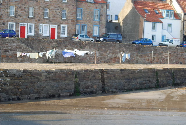
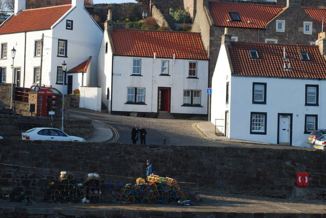
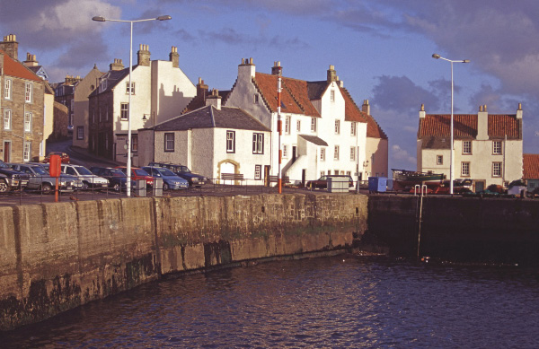
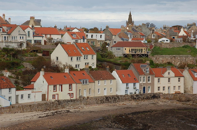
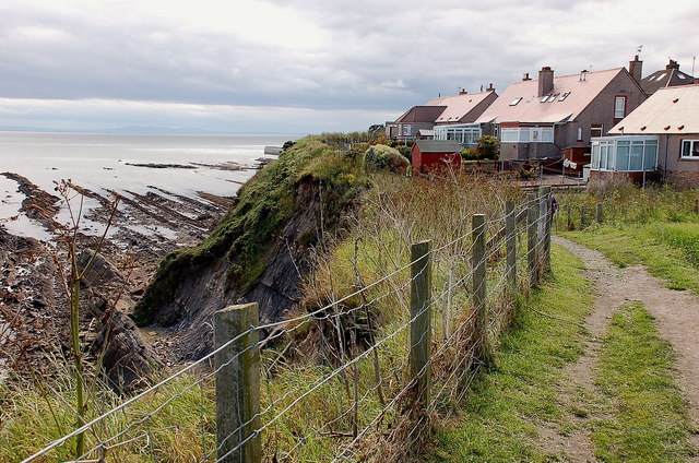
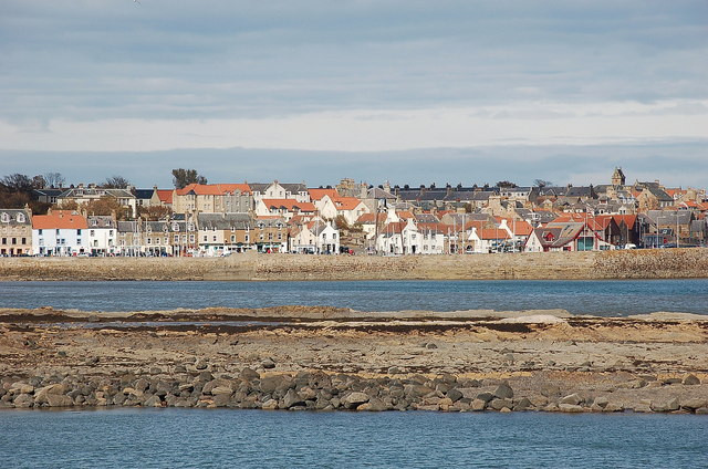
Anstruther Wester is a picturesque coastal village located in the region of Fife, Scotland. Situated on the eastern coast of Scotland, it is part of a collection of settlements known as the East Neuk, renowned for their scenic beauty and historical significance. Anstruther Wester is positioned approximately 10 miles southeast of the town of St Andrews and is bordered by the North Sea.
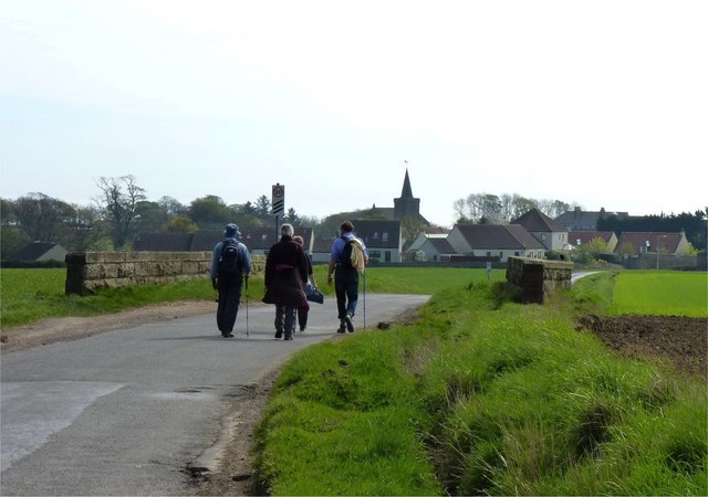
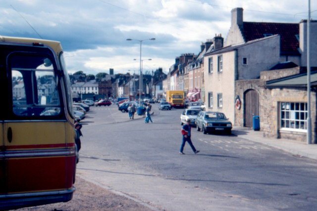
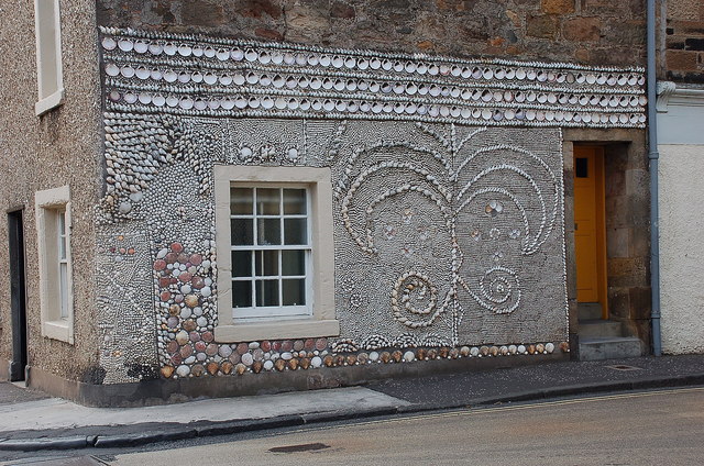
The village is characterized by its charming, narrow streets lined with traditional white-washed cottages and historic buildings. One of the main attractions in Anstruther Wester is the Parish Church of St Adrian, a beautiful medieval church dating back to the 12th century. The church's distinctive square tower stands as a prominent landmark in the village.
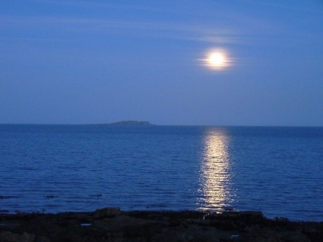
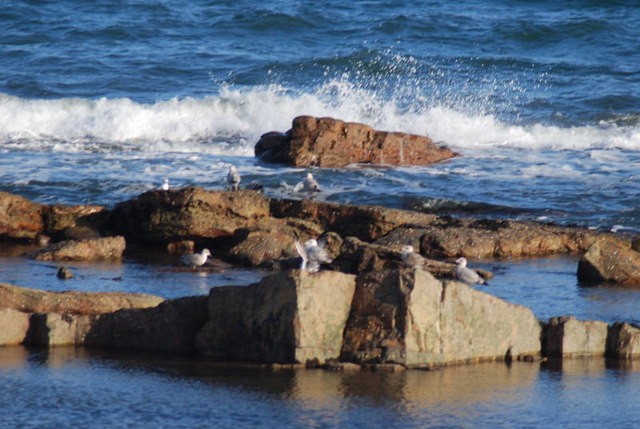
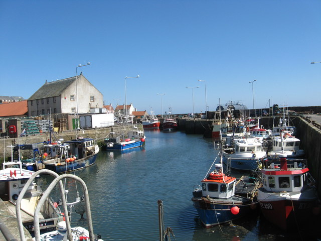
Being a coastal village, Anstruther Wester benefits from its proximity to the sea. The village's harbor, known as Dreel Harbour, is a hub of activity with fishing boats and pleasure craft bobbing in the water. The harbor area also features a small sandy beach, providing a delightful spot for families and visitors to relax and enjoy the coastal ambiance.
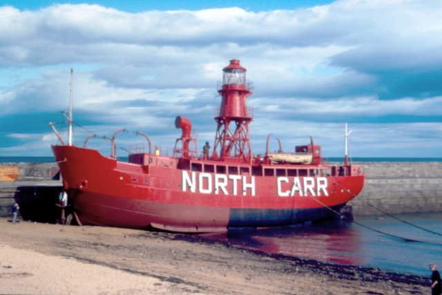
Anstruther Wester is also famous for its connection to the fishing industry. The Scottish Fisheries Museum, located in a former fisherman's house in the village, showcases the rich heritage and history of fishing in the area. Visitors can explore exhibits that highlight the lives and experiences of the fishermen and gain insight into the industry's impact on the local community.
Overall, Anstruther Wester is a captivating village that seamlessly combines its coastal charm with its historical significance, making it a popular destination for tourists and locals alike.
If you have any feedback on the listing, please let us know in the comments section below.
Anstruther Wester Images
Images are sourced within 2km of 56.222117/-2.704291 or Grid Reference NO5603. Thanks to Geograph Open Source API. All images are credited.


Anstruther Wester is located at Grid Ref: NO5603 (Lat: 56.222117, Lng: -2.704291)
Unitary Authority: Fife
Police Authority: Fife
What 3 Words
///disengage.fists.keyboards. Near Anstruther, Fife
Nearby Locations
Related Wikis

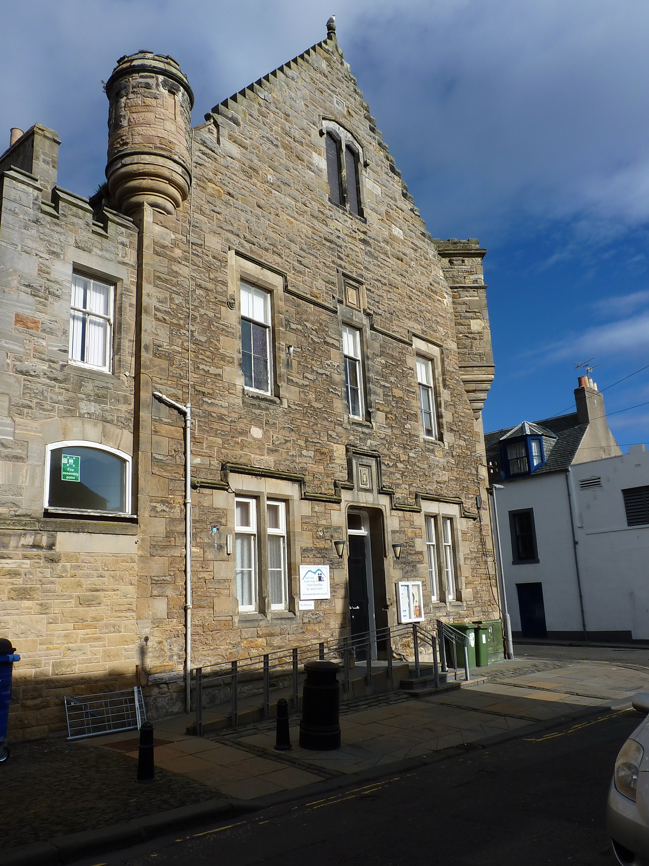
Dreel Halls
Dreel Halls is a municipal complex in Elizabeth Place, Anstruther Wester, Fife, Scotland. The complex, which is used as a community events venue, consists...

Anstruther
Anstruther (Scots: Ainster or Enster ; Scottish Gaelic: Ànsruthair) is a small coastal resort town in Fife, Scotland, situated on the north-shore of...

Anstruther railway station
Anstruther railway station served the village of Anstruther, Fife, in Scotland. Served by the Leven and East of Fife Railway it was opened in 1863. �...
Anstruther Town Hall
Anstruther Town Hall is a municipal building in School Green, Anstruther Easter, Fife, Scotland. The structure, which is used as a community events venue...
Waid Academy
The Waid Academy is a public secondary school in Anstruther, Fife. The school's catchment area extends to as far as Elie and Colinsburgh to the west and...

Anstruther Fish Bar
The Anstruther Fish Bar is a fish and chip shop in Anstruther, a fishing village in the East Neuk of Fife, Scotland. == History == The Bar is situated...

Anstruther Lifeboat Station
Anstruther Lifeboat Station is a Royal National Lifeboat Institution (RNLI) station located in the town of Anstruther, Fife. The station has been in operation...

Scottish Fisheries Museum
The Scottish Fisheries Museum is a museum in Anstruther, Fife, that records the history of the Scottish fishing industry and its people from earliest times...
Nearby Amenities
Located within 500m of 56.222117,-2.704291Have you been to Anstruther Wester?
Leave your review of Anstruther Wester below (or comments, questions and feedback).