Ansty

Settlement in Warwickshire Rugby

England

Ansty

Building near Shilton
Building near Shilton Credit: N Chadwick

Ansty is a picturesque village located in the county of Warwickshire, England. Situated approximately 10 miles east of Coventry, it is nestled in the heart of the rolling countryside. The village has a population of around 1,000 residents and is known for its peaceful and idyllic setting.

Ansty boasts a rich history, with archaeological evidence suggesting that the area has been inhabited since Roman times. The village is home to several historic buildings, including the Grade II listed St. James' Church, which dates back to the 12th century. This beautiful church features stunning stained glass windows and intricate architectural details.

In addition to its historical charm, Ansty offers a range of amenities for its residents and visitors. There is a village hall, which hosts various community events and activities, and a local pub that serves traditional British cuisine. The village also has a primary school, providing education for the younger population.

The surrounding countryside offers plenty of opportunities for outdoor activities, such as walking, cycling, and horseback riding. Ansty is also located near the Ansty Golf Centre, which features an 18-hole golf course and a driving range.

Overall, Ansty is a tranquil and picturesque village that offers a blend of historical charm and natural beauty. With its close proximity to Coventry and easy access to the surrounding countryside, it is a popular choice for those seeking a peaceful rural retreat.

If you have any feedback on the listing, please let us know in the comments section below.
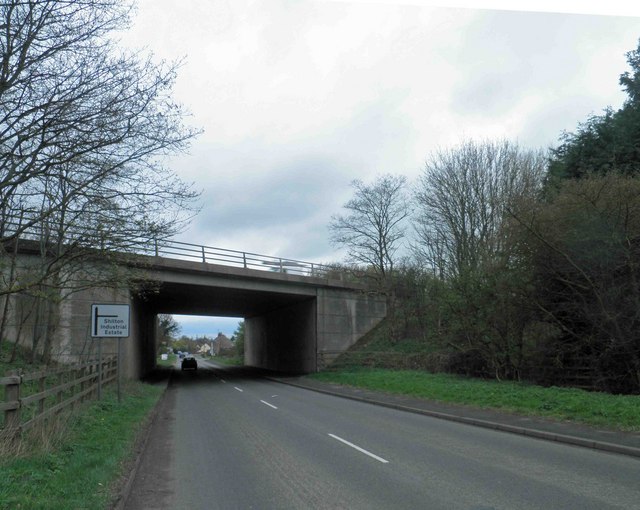
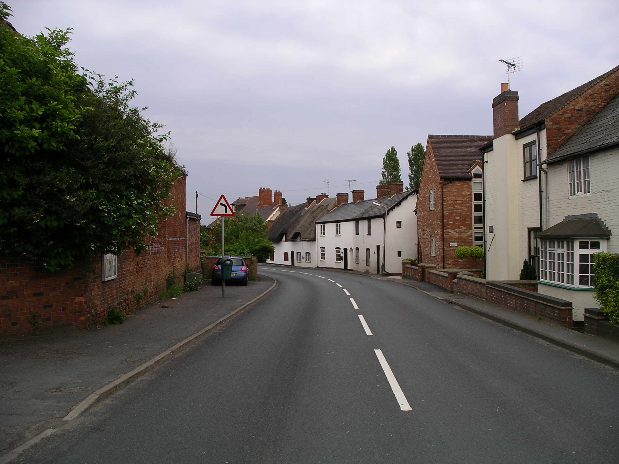
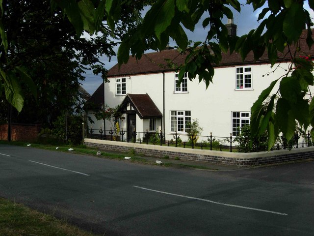
Ansty Images

Images are sourced within 2km of 52.445974/-1.417049 or Grid Reference SP3983. Thanks to Geograph Open Source API. All images are credited.

Building near Shilton
Mast by West Coast Main Line
Hopsford Hall Farm
Hopsford Hall Farm
Oxford Canal, Ansty, at dusk Bridge no. 16, which carries a farm track and a public footpath across the canal, can be seen among the bare trees.
Oxford Canal, Ansty, at dusk
Bridge no. 16, which carries a farm track and a public footpath across the canal, can be seen among the bare trees.
Oxford Canal Adjacent to the West Coast Main Line.
Oxford Canal
Adjacent to the West Coast Main Line.
An Avanti West Coast service On the West Coast Main Line next to the Oxford Canal.
An Avanti West Coast service
On the West Coast Main Line next to the Oxford Canal.
Hollyhill Bridge On the Oxford Canal.
Hollyhill Bridge
On the Oxford Canal.
Canal maintenance work On the Oxford Canal.
Canal maintenance work
On the Oxford Canal.
Bridge 16 on the Oxford Canal Near Ansty.
Bridge 16 on the Oxford Canal
Near Ansty.
London Electric Vehicle Company, Ansty Park The London Electric Vehicle Company (LEVC) plant in Ansty Park opened in 2017 and makes electric taxicabs and vans. It is owned by the Chinese firm Geely, which bought the London Taxi Company in 2013 and moved production from the old Carbodies site on Holyhead Road in Coventry to this new factory on the eastern edge of the city. For more information see <a href="https://www.geograph.org.uk/photo/6873069">SP3279 : Site of former London Taxi Company factory, Holyhead Road, Coventry</a>, which shows the site of Carbodies after demolition; there doesn't appear to be a Geograph of the factory itself (I got there too late).

The Ansty Park business estate is situated on land sold by Rolls Royce, who have an aerospace engineering plant to the south. Once a Royal Air Force airfield, this site saw development of aircraft engines and rocket motors after the Second World War, and a rocket motor testing facility was developed in the area where the LEVC plant now stands; see the Heritage Gateway site <span class="nowrap"><a title="https://www.heritagegateway.org.uk/Gateway/Results_Single.aspx?uid=1009794&sort=4&search=all&criteria=War%20Knight&rational=q&recordsperpage=10&p=1&move=n&nor=15&recfc=0&resourceID=19191" rel="nofollow ugc noopener" href="https://www.heritagegateway.org.uk/Gateway/Results_Single.aspx?uid=1009794&sort=4&search=all&criteria=War%20Knight&rational=q&recordsperpage=10&p=1&move=n&nor=15&recfc=0&resourceID=19191">Link</a><img style="margin-left:2px;" alt="External link" title="External link - shift click to open in new window" src="https://s1.geograph.org.uk/img/external.png" width="10" height="10"/></span> .
London Electric Vehicle Company, Ansty Park
The London Electric Vehicle Company (LEVC) plant in Ansty Park opened in 2017 and makes electric taxicabs and vans. It is owned by the Chinese firm Geely, which bought the London Taxi Company in 2013 and moved production from the old Carbodies site on Holyhead Road in Coventry to this new factory on the eastern edge of the city. For more information see SP3279 : Site of former London Taxi Company factory, Holyhead Road, Coventry, which shows the site of Carbodies after demolition; there doesn't appear to be a Geograph of the factory itself (I got there too late). The Ansty Park business estate is situated on land sold by Rolls Royce, who have an aerospace engineering plant to the south. Once a Royal Air Force airfield, this site saw development of aircraft engines and rocket motors after the Second World War, and a rocket motor testing facility was developed in the area where the LEVC plant now stands; see the Heritage Gateway site LinkExternal link .
The Manufacturing Technology Centre, Ansty Park The Manufacturing Technology Centre (MTC) opened at Ansty Park on the edge of Coventry in 2011, with the aim of developing co-operation between manufacturing industry and universities; see the Ansty Park website <span class="nowrap"><a title="http://www.anstypark.co.uk/mtc" rel="nofollow ugc noopener" href="http://www.anstypark.co.uk/mtc">Link</a><img style="margin-left:2px;" alt="External link" title="External link - shift click to open in new window" src="https://s1.geograph.org.uk/img/external.png" width="10" height="10"/></span> . For more on Ansty Park see <a href="https://www.geograph.org.uk/photo/7542278">SP4081 : London Electric Vehicle Company, Ansty Park</a>.
The Manufacturing Technology Centre, Ansty Park
The Manufacturing Technology Centre (MTC) opened at Ansty Park on the edge of Coventry in 2011, with the aim of developing co-operation between manufacturing industry and universities; see the Ansty Park website LinkExternal link . For more on Ansty Park see SP4081 : London Electric Vehicle Company, Ansty Park.
Bridge over the M6 motorway by Crowner Fields Farm, Ansty The bridge carries a farm track and a public footpath over the motorway. It is a spring evening and the blackthorn is in bloom.
Bridge over the M6 motorway by Crowner Fields Farm, Ansty
The bridge carries a farm track and a public footpath over the motorway. It is a spring evening and the blackthorn is in bloom.
Oxford Canal & Trent Valley Railway at Hopsford The canal, which dates from the 1820s in its straightened form, was joined twenty years later by the Trent Valley Line, now part of the West Coast Line connecting the west of Scotland, northwest England and North Wales with London. Here they pass by the deserted medieval village of Hopsford.
Oxford Canal & Trent Valley Railway at Hopsford
The canal, which dates from the 1820s in its straightened form, was joined twenty years later by the Trent Valley Line, now part of the West Coast Line connecting the west of Scotland, northwest England and North Wales with London. Here they pass by the deserted medieval village of Hopsford.
M69 motorway bridge over B4029 Bulkington Road
Bend on Withybrook Lane near Shilton
Nettle Hill Farmland Looking towards the M6 Motorway from the lane to Mobbs Wood Farm
Nettle Hill Farmland
Looking towards the M6 Motorway from the lane to Mobbs Wood Farm
Pylon in fields north of M6 motorway
Fields seen from M6 northbound
Show me another place!

Ansty is located at Grid Ref: SP3983 (Lat: 52.445974, Lng: -1.417049)

Administrative County: Warwickshire

District: Rugby

Police Authority: Warwickshire

What 3 Words

///calculating.sushi.smart. Near Exhall, Warwickshire

Nearby Locations

Ansty

Related Wikis

Nearby Amenities

Located within 500m of 52.445974,-1.417049
Ansty
Place: village
Wikidata: Q1772253
Lat/Long: 52.445493/-1.4192537
Bus Stop
Garage
Bus: yes
Naptan AtcoCode: 4200F002100
Naptan Bearing: NE
Naptan CommonName: Garage
Naptan Indicator: Adj
Naptan NaptanCode: waratgap
Naptan Street: Main Road
Naptan Verified: no
Public Transport: platform
Source: naptan_import
Lat/Long: 52.4458471/-1.4176551
Bus Stop
Grove Road
Bus: yes
Naptan AtcoCode: 4200F002101
Naptan Bearing: SW
Naptan CommonName: Grove Road
Naptan Indicator: Opp
Naptan NaptanCode: waratgat
Naptan Street: Hinckley Road
Naptan Verified: no
Public Transport: platform
Source: naptan_import
Lat/Long: 52.4455104/-1.4179065
Bus Stop
Grove Road
Bus: yes
Naptan AtcoCode: 4200F002102
Naptan Bearing: NE
Naptan CommonName: Grove Road
Naptan Indicator: Adj
Naptan NaptanCode: waratgaw
Naptan Street: Hinckley Road
Naptan Verified: no
Public Transport: platform
Source: naptan_import
Lat/Long: 52.4458863/-1.4175485
Bus Stop
Rose and Castle
Bus: yes
Naptan AtcoCode: 4200F168901
Naptan Bearing: SW
Naptan CommonName: Rose and Castle
Naptan Indicator: Adj
Naptan NaptanCode: warampga
Naptan Street: Main Road
Naptan Verified: no
Public Transport: platform
Source: naptan_import
Lat/Long: 52.4470606/-1.4144497
Bus Stop
Rose and Castle
Bus: yes
Naptan AtcoCode: 4200F168902
Naptan Bearing: NE
Naptan CommonName: Rose and Castle
Naptan Indicator: Opp
Naptan NaptanCode: warampgd
Naptan Street: Main Road
Naptan Verified: no
Public Transport: platform
Source: naptan_import
Lat/Long: 52.4471744/-1.4144122
Barrier: kissing_gate
Source: visual survey;estimate
Lat/Long: 52.4484622/-1.4197664
Barrier: kissing_gate
Source: visual survey;estimate
Lat/Long: 52.4481876/-1.4188179
Nightclub
Ansty Club
Source: survey
Lat/Long: 52.4471208/-1.417701
Barrier: kissing_gate
Source: survey
Lat/Long: 52.4458385/-1.413574
Barrier: kissing_gate
Source: survey
Lat/Long: 52.446869/-1.4109943
Barrier: stile
Foot: yes
Lat/Long: 52.4470299/-1.4114912
Barrier: kissing_gate
Foot: yes
Lat/Long: 52.4439069/-1.4120199
Power: tower
Source: bing
Lat/Long: 52.4424022/-1.4210881
Barrier: kissing_gate
Lat/Long: 52.4471606/-1.4143464
Water Point
Operator: Canal and River Trust
Waterway: water_point
Lat/Long: 52.4472559/-1.4168835
Barrier: stile
Lat/Long: 52.4478872/-1.4175595
Barrier: stile
Lat/Long: 52.4479938/-1.4180456
Post Box
Collection Times: Mo-Fr 16:00; Sa 09:30
Operator: Royal Mail
Post Box Type: lamp
Ref: CV7 28
Royal Cypher: EIIR
Royal Cypher Wikidata: Q33102113
Source: survey
Lat/Long: 52.4461351/-1.4171461
Telephone
Booth: KX100
Covered: booth
Operator: BY
Phone: +44 247 661 4842
Source: survey
Lat/Long: 52.446101/-1.4172138
Historic: memorial
Memorial: war_memorial
Source: survey
Lat/Long: 52.4460697/-1.4171554
The data included in this document is from www.openstreetmap.org. The data is made available under ODbL.

Have you been to Ansty?

Leave your review of Ansty below (or comments, questions and feedback).