Oak Wood
Wood, Forest in Lancashire South Lakeland
England
Oak Wood

Oak Wood is a dense forest located in the picturesque county of Lancashire, England. Stretching over several hectares, this woodland is predominantly covered with oak trees, hence its name. The forest is nestled within the rolling hills of Lancashire's countryside, providing a serene and tranquil environment for visitors to immerse themselves in nature.
The immense beauty of Oak Wood lies in its rich biodiversity. Apart from the towering oak trees, the forest is home to a diverse array of flora and fauna. The forest floor is adorned with a vibrant carpet of wildflowers during the spring and summer months, creating a colorful and enchanting landscape. Visitors can expect to encounter various species of birds, small mammals, and insects as they explore the woodland.
Walking trails wind through the forest, guiding visitors on a journey of discovery. These paths offer a chance to explore the natural wonders of Oak Wood at one's own pace. The forest is also a popular spot for outdoor activities such as hiking, birdwatching, and photography. Nature enthusiasts can find solace in the peaceful surroundings, while avid photographers capture the raw beauty of the forest through their lenses.
Oak Wood holds significant historical value as well. It is believed to have been in existence for centuries, providing a source of timber for the local community in the past. The forest has witnessed the ebb and flow of time, remaining a steadfast symbol of Lancashire's natural heritage.
Overall, Oak Wood is a captivating destination for nature lovers, offering a harmonious blend of ancient oak trees, diverse wildlife, and tranquil trails. It serves as a testament to the beauty and resilience of Lancashire's natural landscapes.
If you have any feedback on the listing, please let us know in the comments section below.
Oak Wood Images
Images are sourced within 2km of 54.344482/-3.2161327 or Grid Reference SD2195. Thanks to Geograph Open Source API. All images are credited.

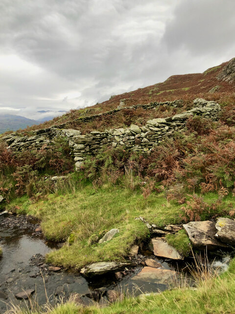
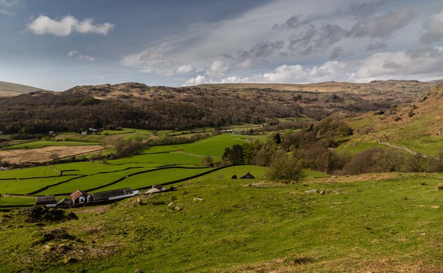
![Site of Commonwood Quarries For more information see Heritagegateway.org.uk &lt;<span class="nowrap"><a title="https://www.heritagegateway.org.uk/Gateway/Results_Single.aspx?resourceID=801&amp;uid=2887969" rel="nofollow ugc noopener" href="https://www.heritagegateway.org.uk/Gateway/Results_Single.aspx?resourceID=801&amp;uid=2887969">Link</a><img style="margin-left:2px;" alt="External link" title="External link - shift click to open in new window" src="https://s1.geograph.org.uk/img/external.png" width="10" height="10"/></span> &gt; [accessed 14 October 2023]
](https://s2.geograph.org.uk/geophotos/07/62/43/7624390_93198c44.jpg)

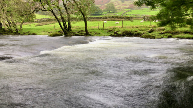
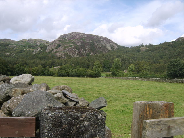
![Stainton Ground Slate Quarry For further info.: ‘Stainton Ground Slate Quarry’. Heritagegateway.org.uk &lt;<span class="nowrap"><a title="https://www.heritagegateway.org.uk/Gateway/Results_Single.aspx?resourceID=801&amp;uid=2888871" rel="nofollow ugc noopener" href="https://www.heritagegateway.org.uk/Gateway/Results_Single.aspx?resourceID=801&amp;uid=2888871">Link</a><img style="margin-left:2px;" alt="External link" title="External link - shift click to open in new window" src="https://s1.geograph.org.uk/img/external.png" width="10" height="10"/></span> &gt; [accessed 18 October 2023]](https://s2.geograph.org.uk/geophotos/07/62/80/7628062_135b0b8c.jpg)


Oak Wood is located at Grid Ref: SD2195 (Lat: 54.344482, Lng: -3.2161327)
Administrative County: Cumbria
District: South Lakeland
Police Authority: Cumbria
What 3 Words
///daytime.nudge.laces. Near Millom, Cumbria
Nearby Locations
Related Wikis

Ulpha
Ulpha is a small village and civil parish in the Duddon Valley in the Lake District National Park in Cumbria, England. Historically in Cumberland, it forms...

Caw (hill)
Caw is a hill in Cumbria, England, near the village of Seathwaite above the Duddon Valley, reaching 1,735 feet (529 m) and having a trig point at the summit...

Seathwaite, Westmorland and Furness
Seathwaite is a village in the Dunnerdale-with-Seathwaite civil parish in the Westmorland and Furness district of Cumbria in North West England. It is...
Wallowbarrow Crag
Wallowbarrow Crag is a hill of 292 metres (958 ft) in the Lake District, England. It is on the west of the Duddon Valley, across the valley from the village...
Nearby Amenities
Located within 500m of 54.344482,-3.2161327Have you been to Oak Wood?
Leave your review of Oak Wood below (or comments, questions and feedback).