Hall Dunnerdale
Settlement in Lancashire South Lakeland
England
Hall Dunnerdale

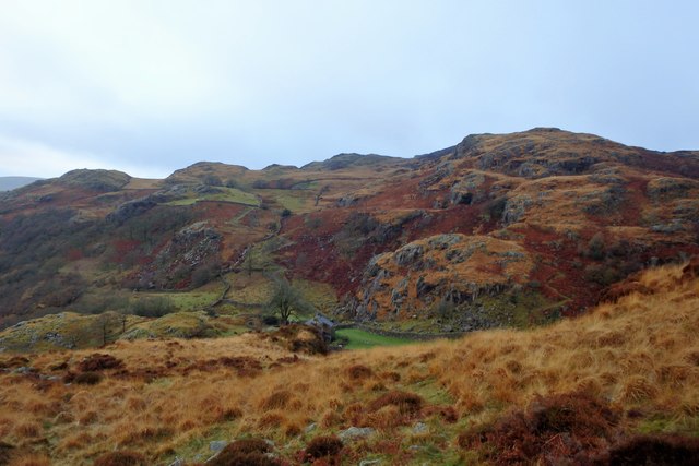
Hall Dunnerdale is a small village situated in the southern region of the beautiful Lake District National Park in Lancashire, England. It is located within the stunning Dunnerdale Fells, surrounded by verdant valleys and rolling hills. The village is part of the civil parish of Ulpha and falls under the jurisdiction of the South Lakeland District Council.
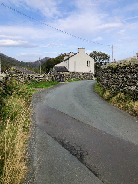
Hall Dunnerdale is characterized by its picturesque rural setting, offering breathtaking views of the surrounding countryside. The village is comprised of a small cluster of houses, most of which are traditional stone-built cottages, adding to its charm and character. The peaceful and tranquil atmosphere of Hall Dunnerdale makes it an ideal destination for those seeking an escape from the hustle and bustle of city life.
The area is renowned for its natural beauty and is a haven for outdoor enthusiasts. The nearby Dunnerdale Fells provide ample opportunities for hiking, walking, and cycling, with a network of scenic trails to explore. The village is also located close to the Duddon Valley, famous for its stunning landscapes and wildlife.
Despite its small size, Hall Dunnerdale boasts a strong sense of community spirit. The village is home to a close-knit population, with residents actively involved in local events and activities. The nearby market town of Broughton-in-Furness provides essential amenities such as shops, pubs, and a primary school, ensuring that residents have easy access to daily necessities.
In conclusion, Hall Dunnerdale is a hidden gem nestled within the breathtaking scenery of the Lake District National Park. Its idyllic location, friendly community, and abundance of outdoor activities make it an enchanting destination for visitors and a peaceful haven for its residents.
If you have any feedback on the listing, please let us know in the comments section below.
Hall Dunnerdale Images
Images are sourced within 2km of 54.350071/-3.208476 or Grid Reference SD2195. Thanks to Geograph Open Source API. All images are credited.


![Site of Commonwood Quarries For more information see Heritagegateway.org.uk &lt;<span class="nowrap"><a title="https://www.heritagegateway.org.uk/Gateway/Results_Single.aspx?resourceID=801&amp;uid=2887969" rel="nofollow ugc noopener" href="https://www.heritagegateway.org.uk/Gateway/Results_Single.aspx?resourceID=801&amp;uid=2887969">Link</a><img style="margin-left:2px;" alt="External link" title="External link - shift click to open in new window" src="https://s1.geograph.org.uk/img/external.png" width="10" height="10"/></span> &gt; [accessed 14 October 2023]
](https://s2.geograph.org.uk/geophotos/07/62/43/7624390_93198c44.jpg)


Hall Dunnerdale is located at Grid Ref: SD2195 (Lat: 54.350071, Lng: -3.208476)
Administrative County: Cumbria
District: South Lakeland
Police Authority: Cumbria
What 3 Words
///fires.shudders.showcase. Near Millom, Cumbria
Nearby Locations
Related Wikis
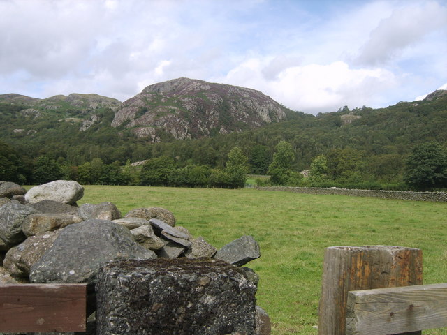
Wallowbarrow Crag
Wallowbarrow Crag is a hill of 292 metres (958 ft) in the Lake District, England. It is on the west of the Duddon Valley, across the valley from the village...

Seathwaite, Westmorland and Furness
Seathwaite is a village in the Dunnerdale-with-Seathwaite civil parish in the Westmorland and Furness district of Cumbria in North West England. It is...

Dunnerdale-with-Seathwaite
Dunnerdale-with-Seathwaite is a civil parish in the Westmorland and Furness district of the ceremonial county of Cumbria, England. It includes the village...
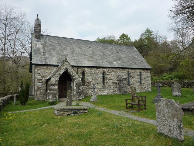
Holy Trinity Church, Seathwaite
Holy Trinity Church is in the village of Seathwaite, Cumbria, England. It is an active Anglican parish church in the deanery of Furness, the archdeaconry...
Nearby Amenities
Located within 500m of 54.350071,-3.208476Have you been to Hall Dunnerdale?
Leave your review of Hall Dunnerdale below (or comments, questions and feedback).