Aller Grove

Wood, Forest in Devon Somerset West and Taunton

England

Aller Grove

Churchstanton: hedgebank near Biscombe Looking north-north-east
Churchstanton: hedgebank near Biscombe Credit: Martin Bodman

Aller Grove is a picturesque woodland area located in the county of Devon, England. Nestled in the heart of the region, this idyllic forest is a haven for nature enthusiasts and those seeking a peaceful retreat from the hustle and bustle of city life.

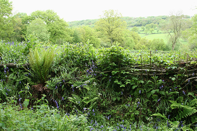
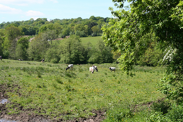
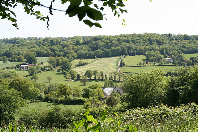
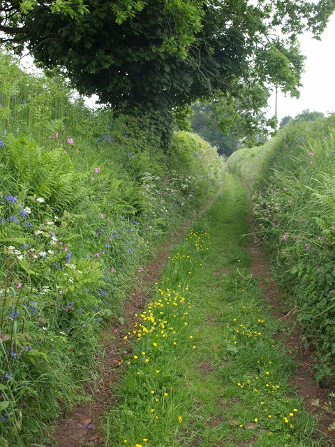
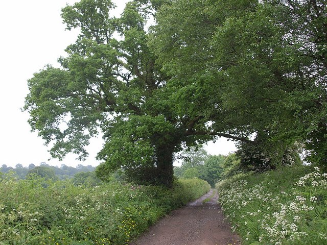
Covering an expansive area of land, Aller Grove is characterized by its dense and ancient woodland. Towering oak, beech, and ash trees dominate the landscape, creating a serene and enchanting atmosphere. The forest floor is blanketed by a rich carpet of mosses, ferns, and wildflowers, adding to the area's natural beauty.

The diverse flora and fauna found within Aller Grove make it a paradise for wildlife enthusiasts. The forest is home to a variety of bird species, including woodpeckers, owls, and songbirds, making it a bird-watcher's dream. Squirrels, foxes, and even deer can often be spotted among the trees, adding to the area's charm.

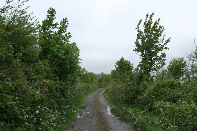
Visitors to Aller Grove can enjoy a range of activities. Numerous walking trails wind their way through the forest, offering opportunities for leisurely strolls or more challenging hikes. The tranquil atmosphere and stunning scenery make it an ideal location for picnics or simply immersing oneself in nature.

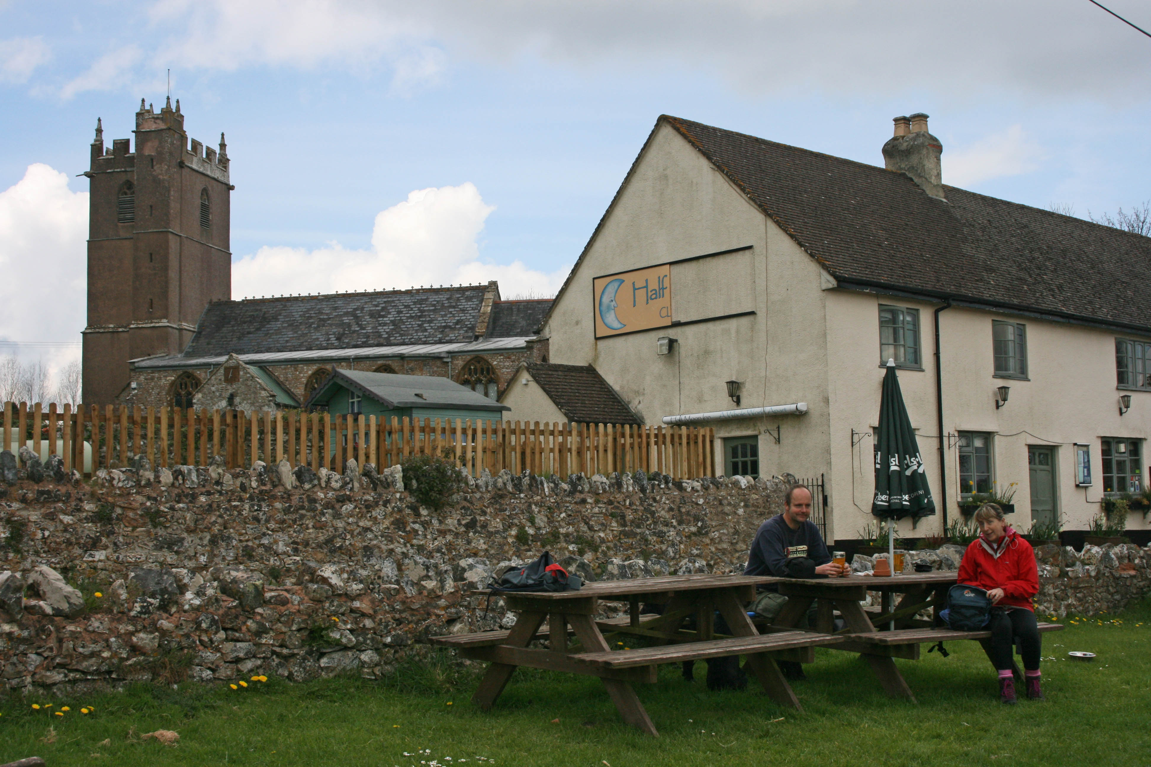
Aller Grove's proximity to other attractions in Devon, such as Dartmoor National Park and the nearby town of Totnes, further enhances its appeal. With its natural beauty and peaceful ambiance, Aller Grove is a must-visit destination for anyone seeking a tranquil escape in the heart of Devon's countryside.

If you have any feedback on the listing, please let us know in the comments section below.
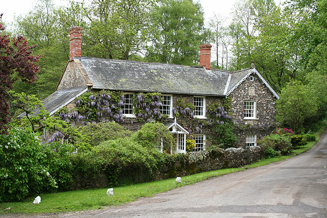
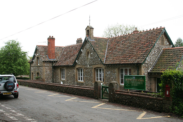
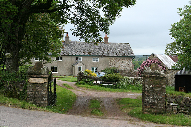
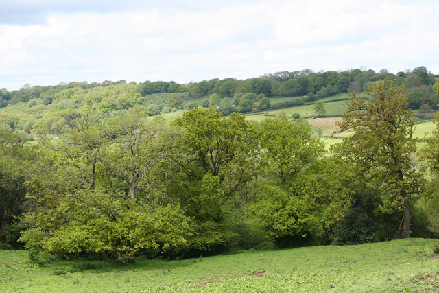
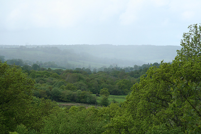
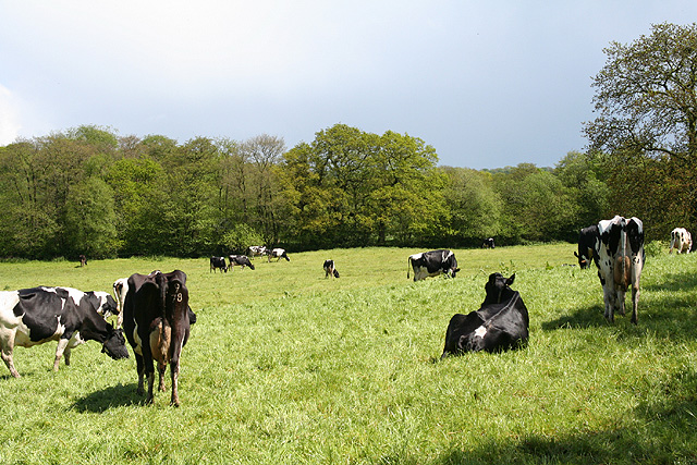
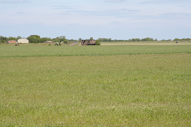
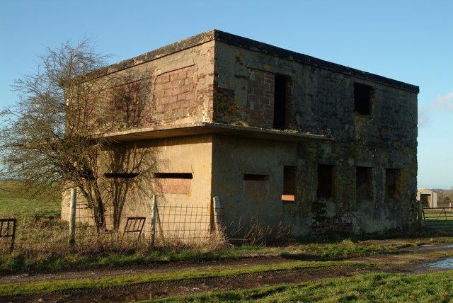
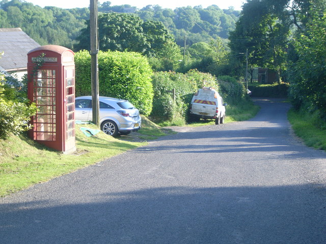
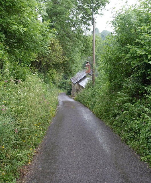
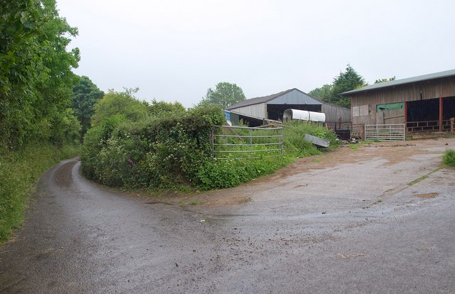
Aller Grove Images

Images are sourced within 2km of 50.902437/-3.15785 or Grid Reference ST1812. Thanks to Geograph Open Source API. All images are credited.

Churchstanton: hedgebank near Biscombe Looking north-north-east
Churchstanton: hedgebank near Biscombe
Looking north-north-east
Churchstanton: Stapley Mill A 19th century watermill and millers house now combined in one residence. The course of the leat is still evident in the garden. Looking north east
Churchstanton: Stapley Mill
A 19th century watermill and millers house now combined in one residence. The course of the leat is still evident in the garden. Looking north east
Churchstanton: Churchstanton School At Willand. Established on this site since 20 October 1879. Looking south west
Churchstanton: Churchstanton School
At Willand. Established on this site since 20 October 1879. Looking south west
Churchstanton: Rainbow Lane Near its junction with Broad Street on the Blackdowns. The lane or track runs to Biscombe. Looking north-north-west
Churchstanton: Rainbow Lane
Near its junction with Broad Street on the Blackdowns. The lane or track runs to Biscombe. Looking north-north-west
Churchstanton: Kedget Barton In the fork between roads to Hemyock and to Willand, Churchstanton, Looking north west
Churchstanton: Kedget Barton
In the fork between roads to Hemyock and to Willand, Churchstanton, Looking north west
Clayhidon: the Bolham valley Seen from a point near Middleton Barton. Looking north
Clayhidon: the Bolham valley
Seen from a point near Middleton Barton. Looking north
Churchstanton: overlooking the Bolham valley Looking south west with rain falling on the far hill
Churchstanton: overlooking the Bolham valley
Looking south west with rain falling on the far hill
Clayhidon: near Burcombe Farm Looking east by the beginning of the track leading to the farmhouse with a herd of Friesians in the field
Clayhidon: near Burcombe Farm
Looking east by the beginning of the track leading to the farmhouse with a herd of Friesians in the field
Clayhidon: Smeatharpe airfield Looking east-north-east to the derelict control tower which dates from 1943 when the airfield was constructed. The American 101st Airborne flew from here to Normandy on D-Day
Clayhidon: Smeatharpe airfield
Looking east-north-east to the derelict control tower which dates from 1943 when the airfield was constructed. The American 101st Airborne flew from here to Normandy on D-Day
Clayhidon: near Hartsmoor Bridge Field by the Bolham Water. Looking north west
Clayhidon: near Hartsmoor Bridge
Field by the Bolham Water. Looking north west
Clayhidon: overlooking the Bolham valley Looking south-south-west towards Harts Farm with Burcombe Farm across the valley on the left and Fields Farm amongst the trees on the right
Clayhidon: overlooking the Bolham valley
Looking south-south-west towards Harts Farm with Burcombe Farm across the valley on the left and Fields Farm amongst the trees on the right
Control tower at Upottery airfield near Smeatharpe Sixty years since it was last used for its intended purpose, the control tower stands derelict, but is now utilised as a barn to store hay and straw.
Control tower at Upottery airfield near Smeatharpe
Sixty years since it was last used for its intended purpose, the control tower stands derelict, but is now utilised as a barn to store hay and straw.
NW/SE runway at Upottery airfield Taken from the intersection with Upottery airfield's main E/W (09/27) runway, this view is looking NW along the 15/33 runway, which has been cleared of weeds and is occasionally used for various activities, including microlight flying and motor events.
NW/SE runway at Upottery airfield
Taken from the intersection with Upottery airfield's main E/W (09/27) runway, this view is looking NW along the 15/33 runway, which has been cleared of weeds and is occasionally used for various activities, including microlight flying and motor events.
Stapley telephone box This is No 4 of 42 images of BT telephone boxes in Taunton Deane which BT is trying to cull due to their claimed 'lack of use'.  If you would like to see this phone box stay in situ, please email savethispayphone@ukpayphone.com
Stapley telephone box
This is No 4 of 42 images of BT telephone boxes in Taunton Deane which BT is trying to cull due to their claimed 'lack of use'. If you would like to see this phone box stay in situ, please email savethispayphone@ukpayphone.com
Footpath near Willand Footpath T 6/17 follows a very green lane (it's raining, so it's hardly surprising it's green) past flower-bedecked banks and an oak tree.
Footpath near Willand
Footpath T 6/17 follows a very green lane (it's raining, so it's hardly surprising it's green) past flower-bedecked banks and an oak tree.
Lane near Willand The lane from the hamlet drops past a cottage to cross a tributary of the River Culm. It's wet.
Lane near Willand
The lane from the hamlet drops past a cottage to cross a tributary of the River Culm. It's wet.
Lower Munty The entrance to the farm is at a lane junction; the lane on the left heads past Middle Munty to ... Higher Munty.
Lower Munty
The entrance to the farm is at a lane junction; the lane on the left heads past Middle Munty to ... Higher Munty.
Green lane near Munty The lane runs along the edge of the valley of a tributary of the Culm. It's raining.
Green lane near Munty
The lane runs along the edge of the valley of a tributary of the Culm. It's raining.
Show me another place!

Aller Grove is located at Grid Ref: ST1812 (Lat: 50.902437, Lng: -3.15785)

Administrative County: Somerset

District: Somerset West and Taunton

Police Authority: Avon and Somerset

What 3 Words

///rotations.deleting.protester. Near Hemyock, Devon

Nearby Locations

Aller Grove

Related Wikis

Nearby Amenities

Located within 500m of 50.902437,-3.15785
The data included in this document is from www.openstreetmap.org. The data is made available under ODbL.

Have you been to Aller Grove?

Leave your review of Aller Grove below (or comments, questions and feedback).