Kenley Copse

Wood, Forest in Somerset Somerset West and Taunton

England

Kenley Copse

Aisholt and Merridge Village Hall This little village hall stands on its own away from both Aisholt and Merridge.
Aisholt and Merridge Village Hall Credit: Barbara Cook

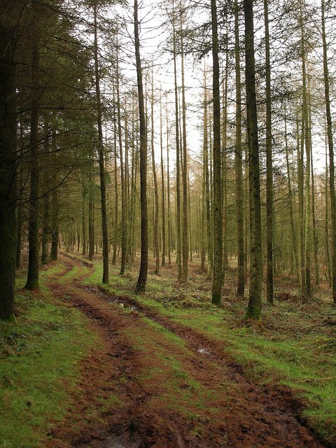
Kenley Copse is a picturesque woodland located in Somerset, England. Covering an area of approximately 50 acres, it is nestled in the charming countryside, offering a tranquil escape for nature enthusiasts and outdoor lovers. The copse is situated near the village of Kenley, which adds to its charm and accessibility.

This woodland is predominantly composed of deciduous trees, including oak, beech, and ash, which provide a diverse and vibrant canopy during the different seasons. The forest floor is covered with an array of wildflowers, ferns, and mosses, creating a beautiful tapestry of colors and textures.

Kenley Copse is home to a rich variety of wildlife. Birdwatchers can spot a wide range of bird species, including woodpeckers, owls, and warblers. Small mammals such as rabbits, badgers, and foxes can also be spotted in this woodland.

Visitors to Kenley Copse can enjoy a range of recreational activities. The copse features several walking trails, enabling visitors to explore the woodland at their own pace. It is also a popular spot for picnics and nature photography, with its idyllic surroundings offering numerous photo opportunities.

The copse is managed by the local authorities, who ensure its conservation and protection. The management team regularly conducts tree maintenance and conservation efforts to preserve the natural beauty and biodiversity of the woodland.

Overall, Kenley Copse is a hidden gem in Somerset, offering a peaceful retreat for those seeking solace in nature. Its enchanting beauty, diverse wildlife, and recreational opportunities make it a must-visit destination for both locals and tourists alike.

If you have any feedback on the listing, please let us know in the comments section below.
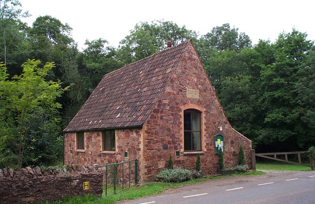
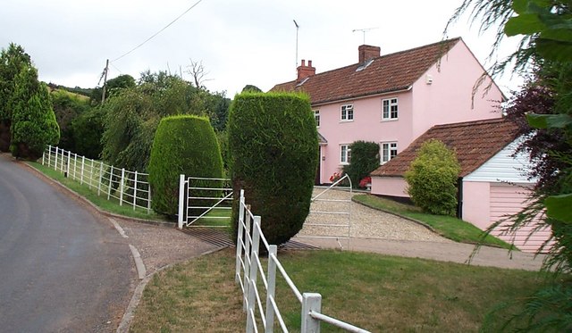
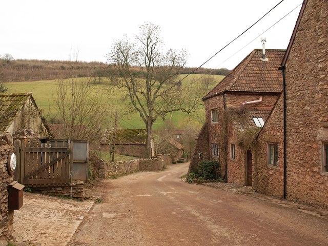
Kenley Copse Images

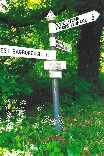
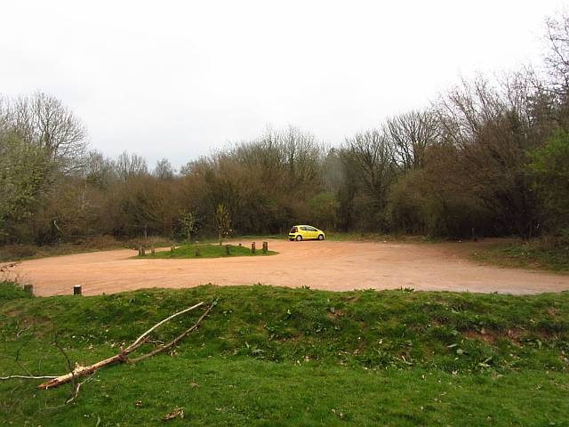
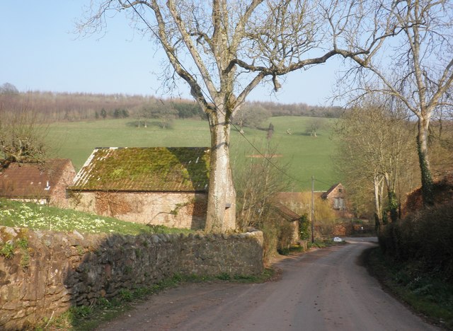
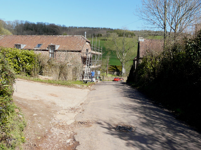
Images are sourced within 2km of 51.097088/-3.1627065 or Grid Reference ST1833. Thanks to Geograph Open Source API. All images are credited.

Aisholt and Merridge Village Hall This little village hall stands on its own away from both Aisholt and Merridge.
Aisholt and Merridge Village Hall
This little village hall stands on its own away from both Aisholt and Merridge.
Cottage at Courtway This cottage lies on the south eastern edge of the Quantocks but only about five miles north of Taunton.
Cottage at Courtway
This cottage lies on the south eastern edge of the Quantocks but only about five miles north of Taunton.
Quiet valley in the Quantocks
Footpath in Buncombe Wood Broomfield footpath 3, which has climbed very steeply out of the head of the Kingston Stream valley, runs almost level through conifer woodland towards the Merridge Hill / Buncombe -  Cothelstone county road.
Footpath in Buncombe Wood
Broomfield footpath 3, which has climbed very steeply out of the head of the Kingston Stream valley, runs almost level through conifer woodland towards the Merridge Hill / Buncombe - Cothelstone county road.
Lane, Lower Aisholt The little lane from Bishpool approaches the valley floor at Lower Aisholt.
Lane, Lower Aisholt
The little lane from Bishpool approaches the valley floor at Lower Aisholt.
Lower Aisholt On the right is Lower Aisholt Farmhouse, described at <span class="nowrap"><a title="http://www.imagesofengland.org.uk/Details/Default.aspx?id=269413&mode=adv" rel="nofollow ugc noopener" href="http://www.imagesofengland.org.uk/Details/Default.aspx?id=269413&mode=adv">Link</a><img style="margin-left:2px;" alt="External link" title="External link - shift click to open in new window" src="https://s1.geograph.org.uk/img/external.png" width="10" height="10"/></span> . The lane, which is from Aisholt, descends to the valley floor to meet the lane from Courtway to Hawkridge Reservoir.
Lower Aisholt
On the right is Lower Aisholt Farmhouse, described at LinkExternal link . The lane, which is from Aisholt, descends to the valley floor to meet the lane from Courtway to Hawkridge Reservoir.
Lambridge Farm The buildings to the left of the farmhouse in the valley bottom are in <a href="https://www.geograph.org.uk/gridref/SS1933">SS1933</a>. Beyond is Bishpool Farm, in <a href="https://www.geograph.org.uk/gridref/ST1934">ST1934</a>. Taken from the Samaritans Way South West as it follows Bridleway BW 30/30.
Lambridge Farm
The buildings to the left of the farmhouse in the valley bottom are in SS1933. Beyond is Bishpool Farm, in ST1934. Taken from the Samaritans Way South West as it follows Bridleway BW 30/30.
Field north of Buncombe Wood A field on the upper slopes of the Quantocks, with woods on either side of it. Buncombe Wood is ahead on the crest of the hills. View from the Samaritans Way South West as it follows Bridleway BW 30/30.
Field north of Buncombe Wood
A field on the upper slopes of the Quantocks, with woods on either side of it. Buncombe Wood is ahead on the crest of the hills. View from the Samaritans Way South West as it follows Bridleway BW 30/30.
Junction, Courtway On the right is the George V postbox number TA5 80. This is on the side of the former post office at the junction of the lane from Merridge with the road down the valley to Lower Aisholt.
Junction, Courtway
On the right is the George V postbox number TA5 80. This is on the side of the former post office at the junction of the lane from Merridge with the road down the valley to Lower Aisholt.
Lane to Lambridge Farm The no through lane from Courtway runs along the valley side, with a small conifer plantation ahead.
Lane to Lambridge Farm
The no through lane from Courtway runs along the valley side, with a small conifer plantation ahead.
Direction Sign – Signpost at Park End, Broomfield Located at Park End on the northeast side of the junction on Cothelstone Road in Broomfield parish. 3 arms and pyramid finial. See also <a title="https://www.geograph.org.uk/photo/5813136" href="https://www.geograph.org.uk/photo/5813136">Link</a> and <a title="https://www.geograph.org.uk/photo/1140340" href="https://www.geograph.org.uk/photo/1140340">Link</a>.

Milestone Society National ID: SO_ST1833C
Direction Sign – Signpost at Park End, Broomfield
Located at Park End on the northeast side of the junction on Cothelstone Road in Broomfield parish. 3 arms and pyramid finial. See also Link and Link. Milestone Society National ID: SO_ST1833C
House, at Courtway
House, at Courtway
Cottage, Lower Merridge
Car park, Cothelstone Hill A good path leads up to the summit from here.
Car park, Cothelstone Hill
A good path leads up to the summit from here.
Minor road to Lower Aisholt
Lower Aisholt
Lower Aisholt
Quantock View Near Timberscombe
Dovecotes, Lower Aisholt The scaffolding was being used by the workmen during the repointing of the house’s stonework.  One can see how the house got its name by the holes above the top window, which would have been the entrances to a dovecot. Dovecotes is an alternative spelling for Dovecots.
Dovecotes, Lower Aisholt
The scaffolding was being used by the workmen during the repointing of the house’s stonework. One can see how the house got its name by the holes above the top window, which would have been the entrances to a dovecot. Dovecotes is an alternative spelling for Dovecots.
Show me another place!

Kenley Copse is located at Grid Ref: ST1833 (Lat: 51.097088, Lng: -3.1627065)

Administrative County: Somerset

District: Somerset West and Taunton

Police Authority: Avon and Somerset

What 3 Words

///release.light.initiates. Near Bishops Lydeard, Somerset

Related Wikis

Seven Sisters (Quantock Hills)

The Seven Sisters is a clump of beech trees on Cothelstone Hill in the Quantock Hills, England. Originally planted in the 18th century, they form a well...

West Bagborough Hoard

The West Bagborough Hoard is a hoard of 670 Roman coins and 72 pieces of hacksilver found in October 2001 by metal detectorist James Hawkesworth near...

West Bagborough

West Bagborough is a village and civil parish in Somerset, England, about 5 miles (8.0 km) north of Taunton. In 2011, the village had a population of 358...

Bagborough House

Bagborough House in West Bagborough, Somerset, England was built circa 1730. It was designated a Grade II* listed building on 4 May 1984. Bagborough House...

Nearby Amenities

Located within 500m of 51.097088,-3.1627065
The data included in this document is from www.openstreetmap.org. The data is made available under ODbL.

Have you been to Kenley Copse?

Leave your review of Kenley Copse below (or comments, questions and feedback).