Rockenhayne Coppice
Wood, Forest in Devon East Devon
England
Rockenhayne Coppice
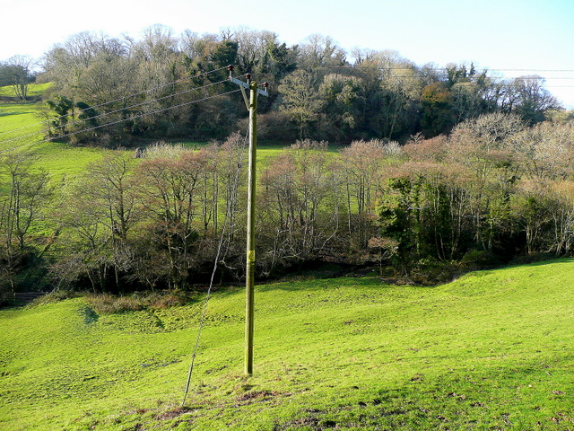
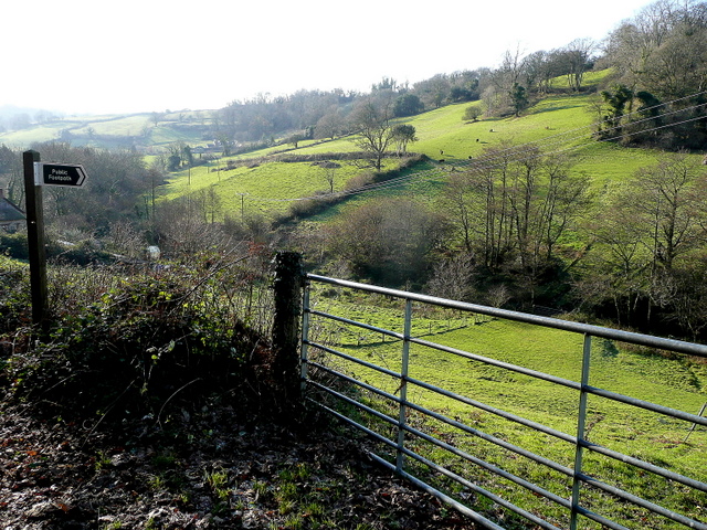
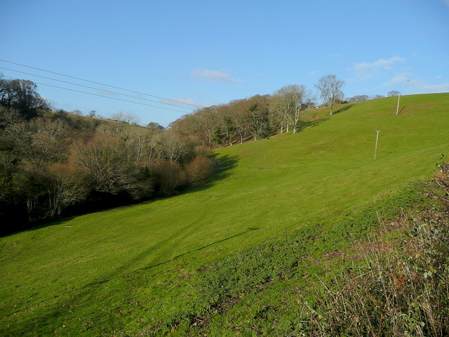
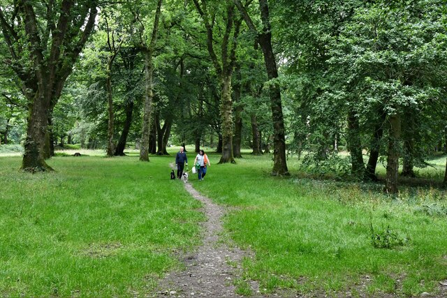
Rockenhayne Coppice is a picturesque woodland located in Devon, England. Nestled in the beautiful countryside, it covers an area of approximately 30 acres and is a haven for nature lovers and outdoor enthusiasts.
The woodland is characterized by its diverse range of trees, including oak, beech, and ash, creating a rich and vibrant ecosystem. The dense canopy provides shelter for an array of wildlife, making it an ideal spot for birdwatching and wildlife spotting. Visitors may catch a glimpse of species such as woodpeckers, owls, and deer as they explore the forest trails.
The coppice itself is an ancient woodland management technique, where trees are regularly cut down to promote new growth. This practice has been employed in Rockenhayne Coppice for centuries, giving it a unique character and contributing to its ecological value. The resulting mix of young and mature trees creates a varied habitat, supporting a wide range of flora and fauna.
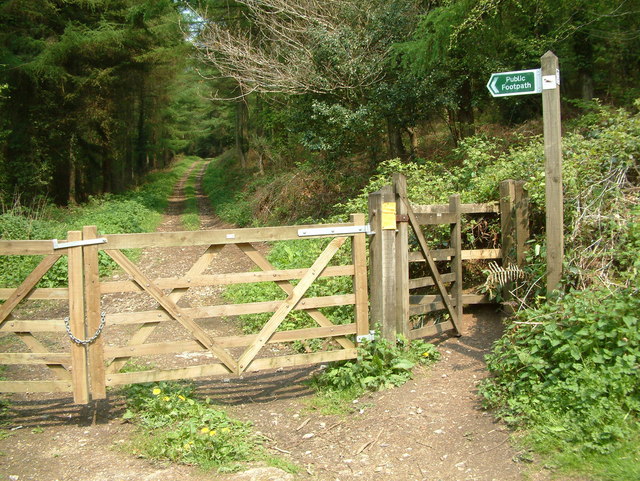
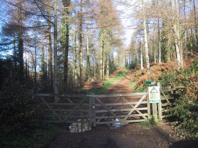
The woodland is open to the public and offers a network of well-maintained footpaths and trails, allowing visitors to explore its beauty at their own pace. It also features a picnic area, providing a tranquil setting for families and friends to enjoy a leisurely lunch surrounded by nature.
Rockenhayne Coppice is a cherished natural gem in Devon, offering a peaceful retreat from the hustle and bustle of everyday life. Its combination of ancient woodland management, diverse wildlife, and scenic beauty make it a must-visit destination for anyone seeking a true connection with nature.
If you have any feedback on the listing, please let us know in the comments section below.
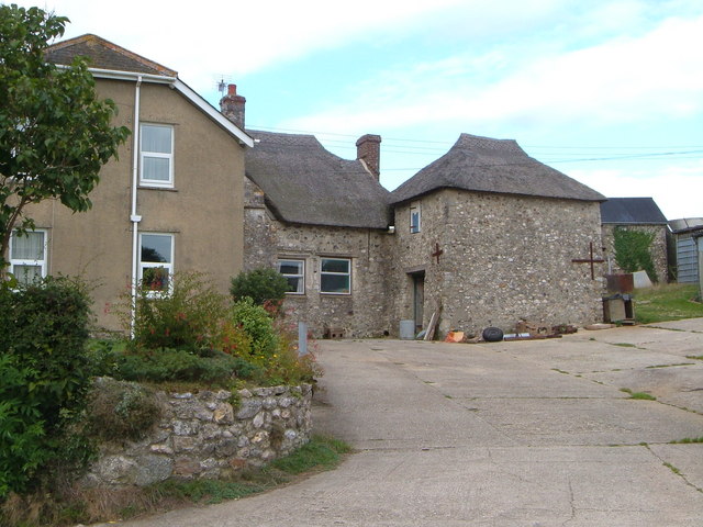
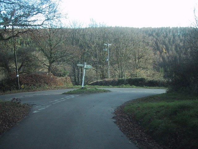
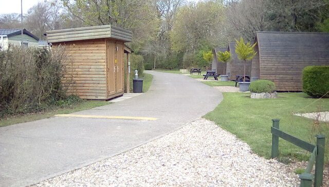
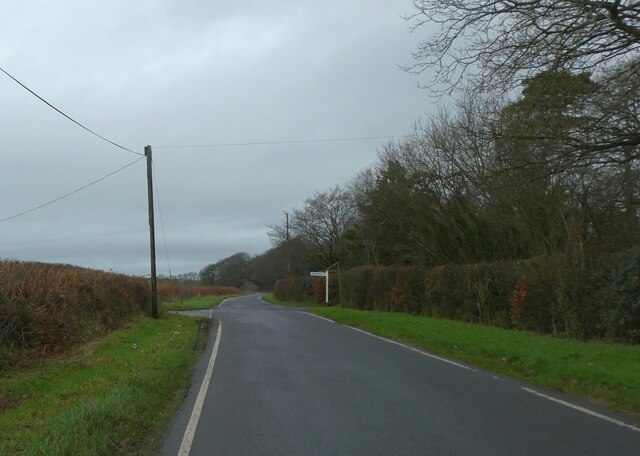
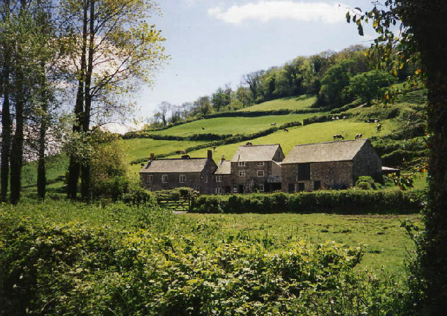
Rockenhayne Coppice Images
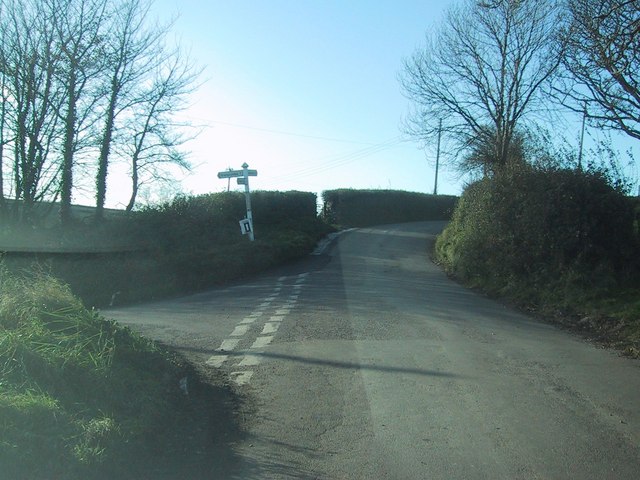
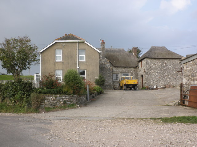
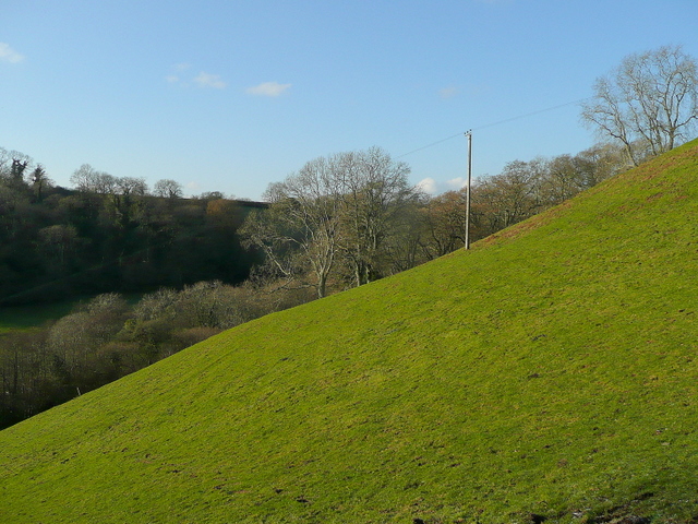
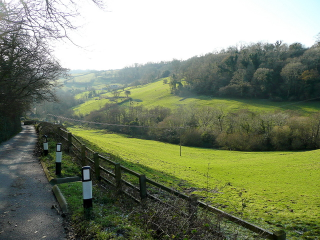
Images are sourced within 2km of 50.709792/-3.1531249 or Grid Reference SY1890. Thanks to Geograph Open Source API. All images are credited.


Rockenhayne Coppice is located at Grid Ref: SY1890 (Lat: 50.709792, Lng: -3.1531249)
Administrative County: Devon
District: East Devon
Police Authority: Devon and Cornwall
What 3 Words
///flattered.home.commented. Near Sidmouth, Devon
Nearby Locations
Related Wikis

Street, Devon
Street is a small village in the East Devon district of Devon, England. Its nearest town is Sidmouth, which lies approximately 4 miles (6.4 km) south-west...

Blackbury Camp
Blackbury Camp, also known as Blackbury Castle, is an Iron Age hill fort in Devon, England. It is managed by English Heritage. == Location == Blackbury...
The Old Bakery, Manor Mill & Forge
The Old Bakery, Manor Mill & Forge is a collection of buildings in Branscombe, Seaton, Devon, England. The property has been in the ownership of the National...

St Winifred's Church, Branscombe
St Winifred's Church is a Church of England church in Branscombe in Devon, England. The church is dedicated to Saint Winifred, a Welsh saint. It is among...
Nearby Amenities
Located within 500m of 50.709792,-3.1531249Have you been to Rockenhayne Coppice?
Leave your review of Rockenhayne Coppice below (or comments, questions and feedback).