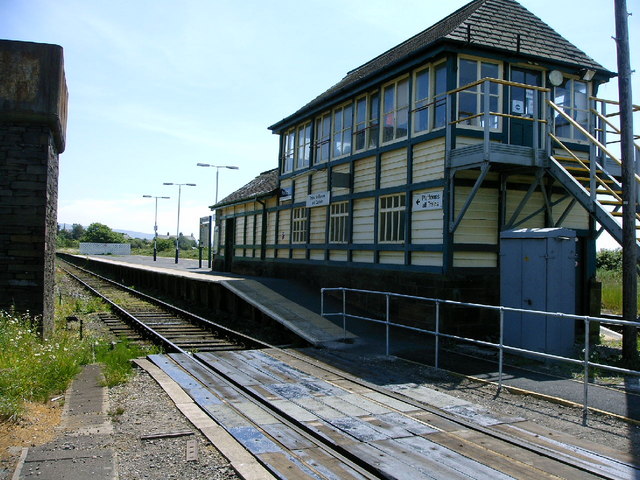
Fox's Wood

Wood, Forest in Cumberland Copeland

England

Fox's Wood
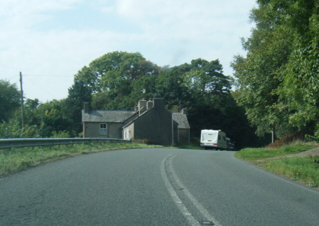
A595 at Buckman Brow
A595 at Buckman Brow Credit: Colin Pyle

Fox's Wood is a densely wooded area located in Cumberland, England. Situated in the picturesque region of the Lake District, this forest is renowned for its natural beauty and diverse flora and fauna. With an approximate size of 200 acres, Fox's Wood offers a tranquil escape for nature enthusiasts and outdoor adventurers.

The woodland is predominantly comprised of mature broadleaf trees, including oak, beech, and ash, which create a dense canopy that filters sunlight and provides a cool and shady atmosphere. The forest floor is covered in a rich carpet of mosses, ferns, and wildflowers, adding to its enchanting appeal.

Fox's Wood is home to a variety of wildlife species, making it a popular spot for birdwatching and animal spotting. Visitors may catch a glimpse of red squirrels, roe deer, and rabbits, as well as numerous bird species such as woodpeckers, buzzards, and owls. The forest also boasts a diverse insect population, including butterflies and dragonflies.

The woodland offers several walking trails and paths that meander through its verdant surroundings. These paths range in difficulty, catering to both casual strollers and more experienced hikers. Along the way, visitors can enjoy breathtaking views of the surrounding countryside and may even stumble upon hidden streams or small waterfalls.

Fox's Wood is a cherished natural gem in Cumberland, providing a peaceful retreat for those seeking solace in the great outdoors. With its abundance of wildlife, lush vegetation, and serene ambiance, this forest offers an unforgettable experience for nature lovers and adventurers alike.

If you have any feedback on the listing, please let us know in the comments section below.

Fox's Wood Images

Images are sourced within 2km of 54.262169/-3.2540096 or Grid Reference SD1885. Thanks to Geograph Open Source API. All images are credited.

A595 at Buckman Brow
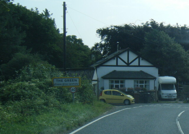
A5093 at The Green village boundary
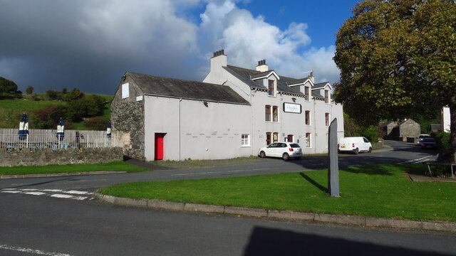
The Punch Bowl Inn, The Green, Millom
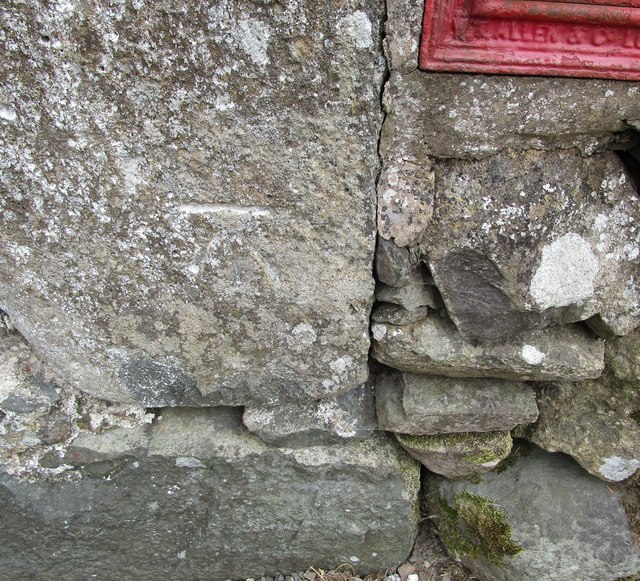
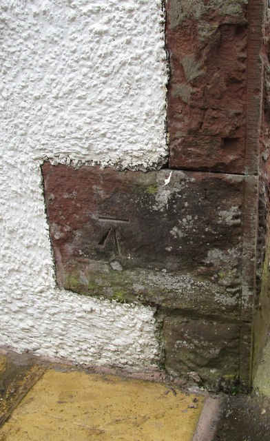
Ordnance Survey Cut Mark This OS cut mark can be found adjacent to the letter box at Broadgate. It marks a point 107.274m above mean sea level.
Ordnance Survey Cut Mark
This OS cut mark can be found adjacent to the letter box at Broadgate. It marks a point 107.274m above mean sea level.
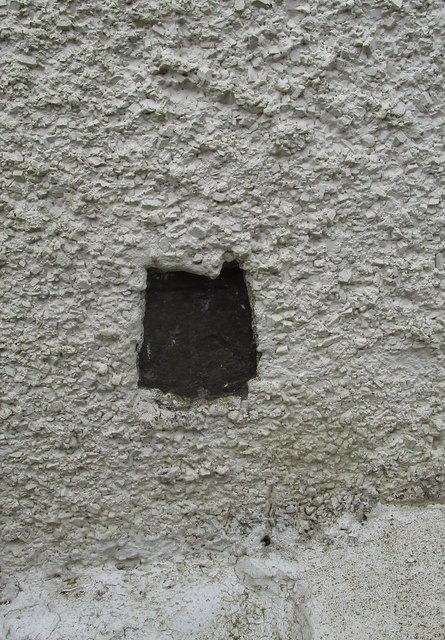
Ordnance Survey Cut Mark This OS cut mark can be found on Old Hall Cottage. It marks a point 39.156m above mean sea level.
Ordnance Survey Cut Mark
This OS cut mark can be found on Old Hall Cottage. It marks a point 39.156m above mean sea level.
Ordnance Survey Cut Mark This OS cut mark can be found on Briar Dene. It marks a point 19.020m above mean sea level.
Ordnance Survey Cut Mark
This OS cut mark can be found on Briar Dene. It marks a point 19.020m above mean sea level.
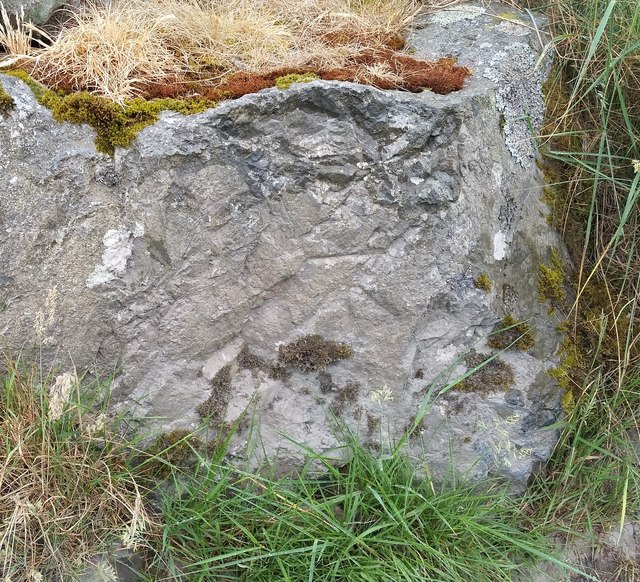
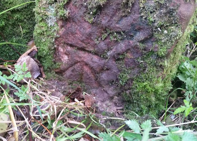
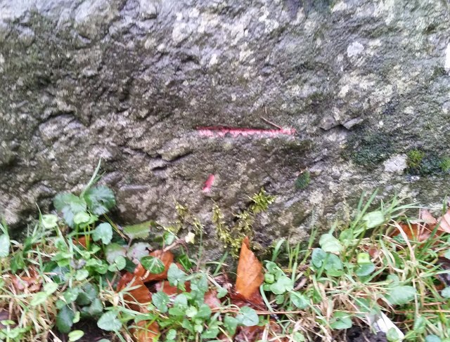
Ordnance Survey Cut Mark This OS cut mark can be found on a large rock to the west of the track.
Ordnance Survey Cut Mark
This OS cut mark can be found on a large rock to the west of the track.
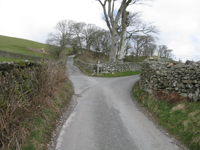
Start of the track to the Swinside Stone Circle The track branching off to the left leads to the Stone Circle and Swinside Farm.
Start of the track to the Swinside Stone Circle
The track branching off to the left leads to the Stone Circle and Swinside Farm.
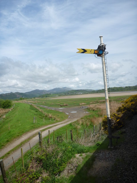
SRPS Cumbrian Coast Railtour 2018 : Signal Post Before Duddon Viaduct
SRPS Cumbrian Coast Railtour 2018 : Approaching Duddon Viaduct
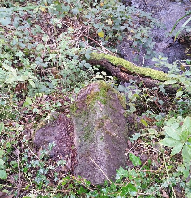
Boundary Stone Toppled and damaged, over stream, south side of the A595.
Boundary Stone
Toppled and damaged, over stream, south side of the A595.
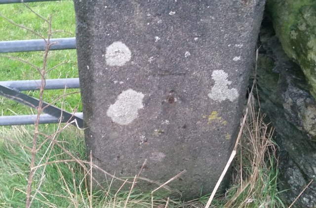
Ordnance Survey Cut Mark This OS cut mark can be found on the gatepost south side of the road. It marks a point 59.576m above mean sea level.
Ordnance Survey Cut Mark
This OS cut mark can be found on the gatepost south side of the road. It marks a point 59.576m above mean sea level.
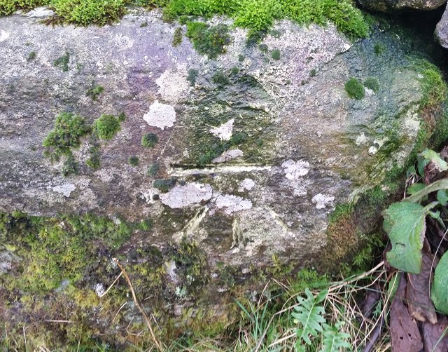
Ordnance Survey Cut Mark This OS cut mark can be found on the large boulder in the wall SE side of the road. It marks a point 99.048m above mean sea level.
Ordnance Survey Cut Mark
This OS cut mark can be found on the large boulder in the wall SE side of the road. It marks a point 99.048m above mean sea level.
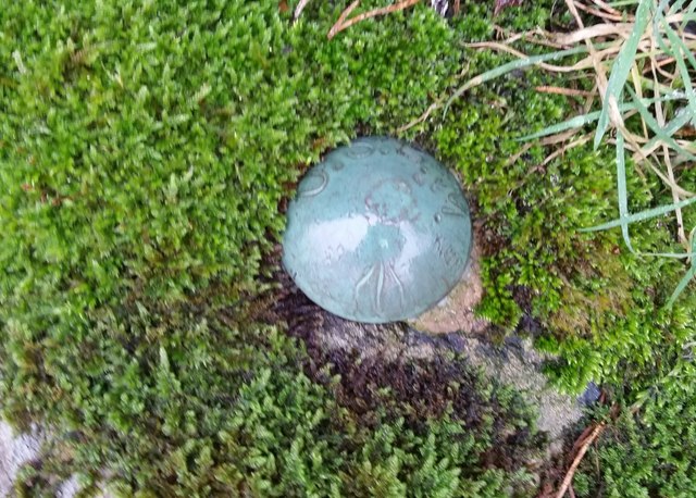
Ordnance Survey OSBM Bolt This OS Bolt can be found on the large boulder at the side of the barn at Low Broadgate. It marks a point 81.764m above mean sea level.
Ordnance Survey OSBM Bolt
This OS Bolt can be found on the large boulder at the side of the barn at Low Broadgate. It marks a point 81.764m above mean sea level.
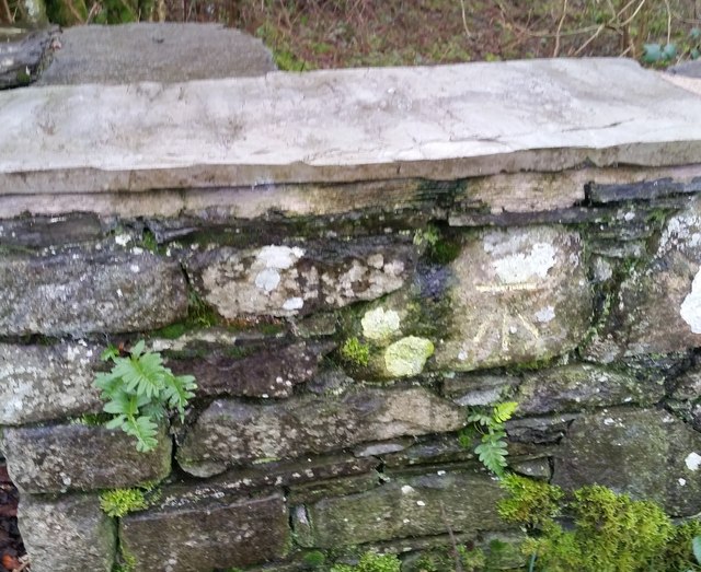
Ordnance Survey Cut Mark This OS cut mark can be found on the wall NW side of the road. It marks a point 98.207m above mean sea level.
Ordnance Survey Cut Mark
This OS cut mark can be found on the wall NW side of the road. It marks a point 98.207m above mean sea level.
Ordnance Survey Cut Mark This OS cut mark can be found on the west parapet of Waughfoot Bridge. It marks a point 132.683m above mean sea level.
Ordnance Survey Cut Mark
This OS cut mark can be found on the west parapet of Waughfoot Bridge. It marks a point 132.683m above mean sea level.
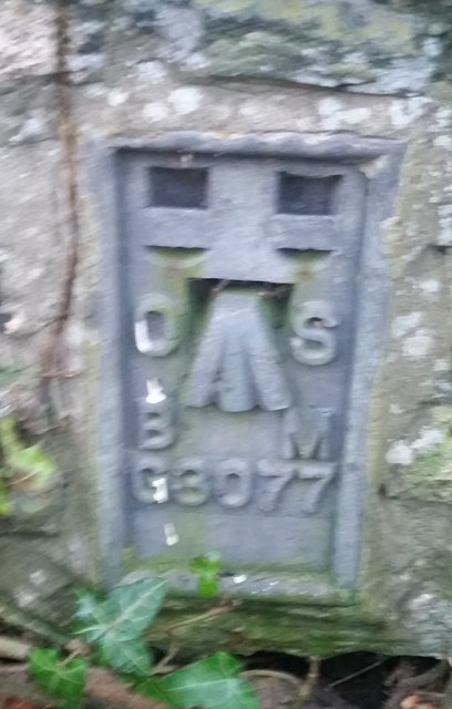
Ordnance Survey Flush Bracket (G3077) This OS Flush Bracket can be found on The Oaks. It marks a point 35.752m above mean sea level.
Ordnance Survey Flush Bracket (G3077)
This OS Flush Bracket can be found on The Oaks. It marks a point 35.752m above mean sea level.
Ordnance Survey Cut Mark This OS cut mark can be found on the gatepost NE side of the road. It marks a point 59.489m above mean sea level.
Ordnance Survey Cut Mark
This OS cut mark can be found on the gatepost NE side of the road. It marks a point 59.489m above mean sea level.
Show me another place!

Fox's Wood is located at Grid Ref: SD1885 (Lat: 54.262169, Lng: -3.2540096)

Administrative County: Cumbria

District: Copeland

Police Authority: Cumbria

What 3 Words

///generated.batches.punch. Near Millom, Cumbria

Related Wikis

Thwaites, Cumbria

Thwaites is a small village near Duddon Valley and on the edge of the Duddon Estuary in the Lake District National Park in the Borough of Copeland, Cumbria...

St Anne's Church, Thwaites

St Anne's Church is in the village of Thwaites, Cumbria, England. It is an active Anglican parish church in the deanery of Millom, the archdeaconry of...

Millom Without

Millom Without is a civil parish in the county of Cumbria, England. It had a population of 1,638 in 2001, decreasing to 859 at the 2011 Census. Millom...

Green Road railway station

Green Road is a railway station on the Cumbrian Coast Line, which runs between Carlisle and Barrow-in-Furness. The station, situated 13+1⁄2 miles (22 km...

Foxfield railway station

Foxfield is a railway station on the Cumbrian Coast Line, which runs between Carlisle and Barrow-in-Furness. The station, situated 11+1⁄2 miles (19 km...

Arnaby

Arnaby is a village in Cumbria, England.

Foxfield, Cumbria

Foxfield is a village on the west coast of Cumbria, England, in the Furness district that was part of Lancashire from 1182 to 1974. It lies on the Duddon...

Swinside

Swinside, which is also known as Sunkenkirk and Swineshead, is a stone circle lying beside Swinside Fell, part of Black Combe in southern Cumbria, North...

Nearby Amenities

Located within 500m of 54.262169,-3.2540096
Barrier: stile
Lat/Long: 54.26068/-3.2572356
Barrier: stile
Lat/Long: 54.2619867/-3.2569832
Barrier: stile
Lat/Long: 54.2646595/-3.2539472
Barrier: stile
Lat/Long: 54.2655718/-3.2527392
Power: pole
Lat/Long: 54.2589955/-3.2577998
Power: pole
Lat/Long: 54.2590632/-3.2567114
Power: pole
Lat/Long: 54.2591443/-3.2556577
Power: pole
Lat/Long: 54.2592154/-3.2539035
Power: pole
Lat/Long: 54.2582888/-3.2506846
Power: pole
Lat/Long: 54.2591778/-3.250739
Power: pole
Lat/Long: 54.2604024/-3.249375
Power: pole
Lat/Long: 54.2609892/-3.2480033
Power: pole
Lat/Long: 54.2615398/-3.2467205
Power: pole
Lat/Long: 54.2593818/-3.2517356
Power: pole
Lat/Long: 54.2598639/-3.2508335
Power: pole
Lat/Long: 54.2657941/-3.2573688
Power: pole
Lat/Long: 54.2652505/-3.2574376
Power: pole
Lat/Long: 54.2640215/-3.2575711
Power: pole
Lat/Long: 54.263485/-3.257644
Power: pole
Lat/Long: 54.2646998/-3.2575064
Power: pole
Lat/Long: 54.2629484/-3.2577087
Power: pole
Lat/Long: 54.2623906/-3.2577856
Power: pole
Lat/Long: 54.2614476/-3.2578746
Power: pole
Lat/Long: 54.2605966/-3.2577978
Power: pole
Lat/Long: 54.259767/-3.2577937
Gibson Park
Place: locality
Lat/Long: 54.2638805/-3.2564724
The data included in this document is from www.openstreetmap.org. The data is made available under ODbL.

Have you been to Fox's Wood?

Leave your review of Fox's Wood below (or comments, questions and feedback).