Sir Alick's Plantation
Wood, Forest in Somerset Somerset West and Taunton
England
Sir Alick's Plantation
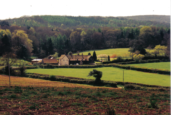
Sir Alick's Plantation, Somerset (Wood, Forest) is a vast and picturesque estate located in the heart of Somerset, England. Spread across several hundred acres, this historical plantation is renowned for its lush greenery, diverse flora, and magnificent woodlands. The plantation's name pays homage to Sir Alick, a prominent 19th-century nobleman who established the estate in the early 1800s.
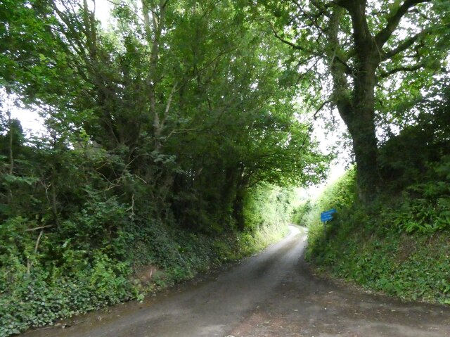
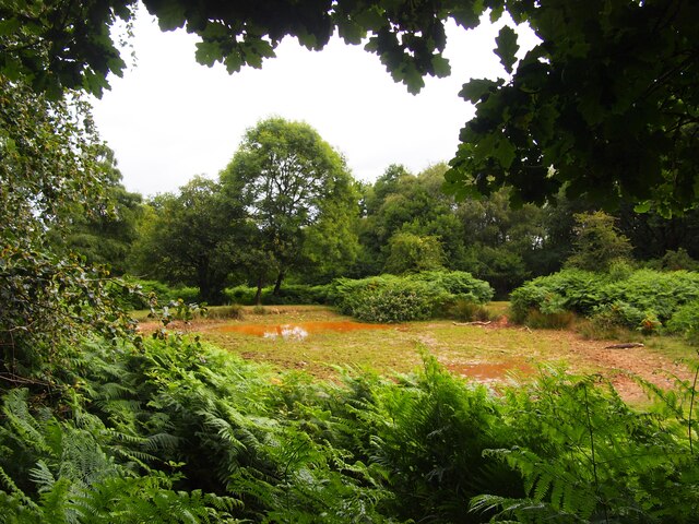
The plantation is characterized by its dense forest, which is home to a wide variety of native and exotic tree species. Towering oak, beech, and ash trees dominate the landscape, providing a rich habitat for numerous wildlife species. The forest is well-preserved and carefully managed, allowing visitors to witness the beauty of a truly ancient woodland.
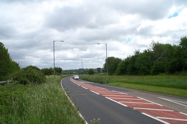
Several walking trails wind through the plantation, offering visitors an opportunity to immerse themselves in nature's tranquility. These paths lead to secluded clearings, babbling brooks, and charming ponds, providing a haven for birdwatchers and nature enthusiasts. The plantation's diverse ecosystem attracts a plethora of bird species, including woodpeckers, owls, and various migratory birds.
The estate also features meticulously maintained gardens, which showcase a stunning array of colorful flowers and shrubs. These gardens serve as a delightful backdrop for social events and weddings, with their manicured lawns and charming gazebos.
Sir Alick's Plantation, Somerset (Wood, Forest) is not only a natural paradise but also a testament to the region's rich history. Its timeless beauty and tranquility make it a must-visit destination for those seeking an escape from the hustle and bustle of modern life.
If you have any feedback on the listing, please let us know in the comments section below.
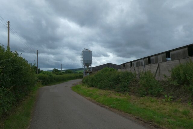
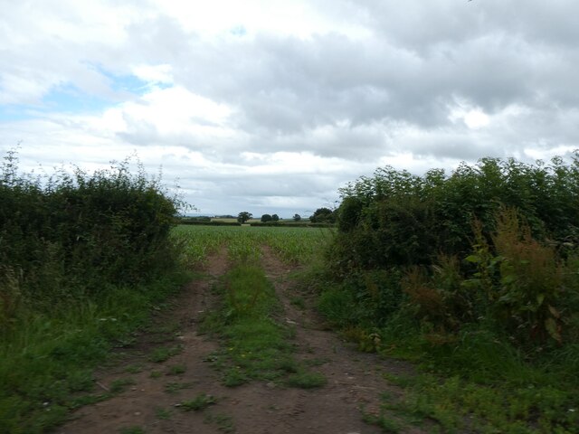
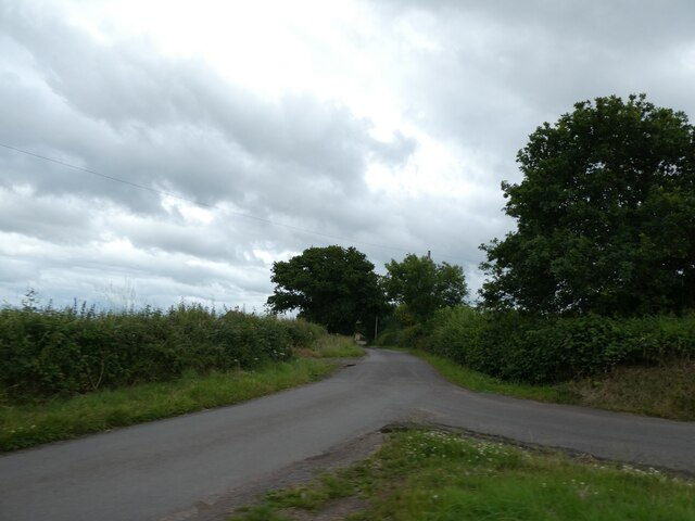
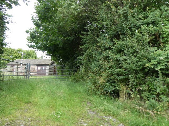
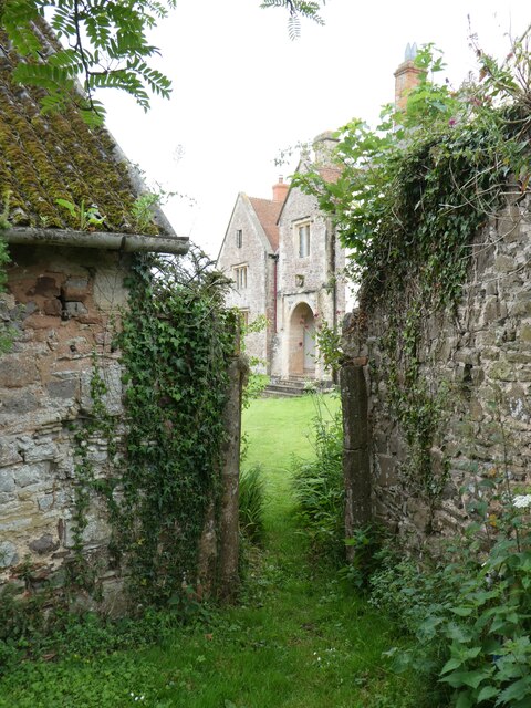
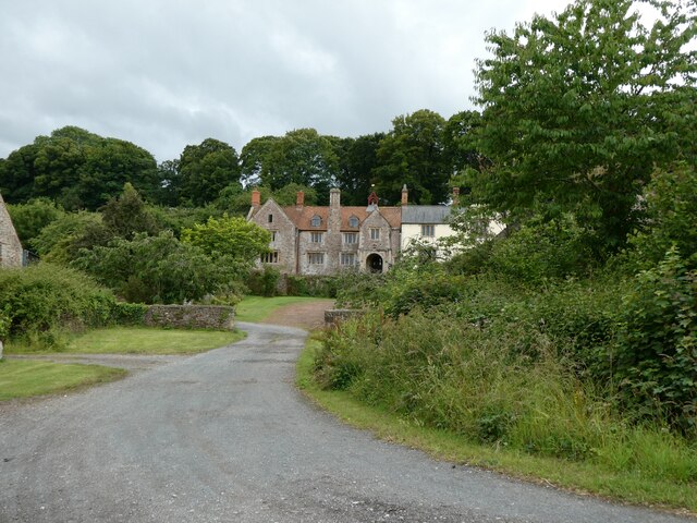
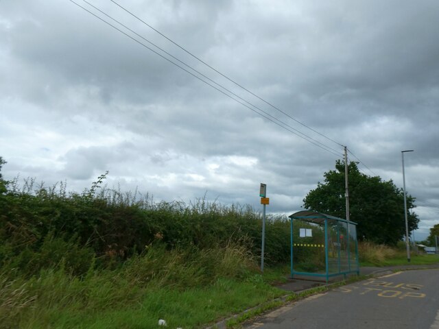
Sir Alick's Plantation Images
Images are sourced within 2km of 51.151372/-3.1854174 or Grid Reference ST1739. Thanks to Geograph Open Source API. All images are credited.

Sir Alick's Plantation is located at Grid Ref: ST1739 (Lat: 51.151372, Lng: -3.1854174)
Administrative County: Somerset
District: Somerset West and Taunton
Police Authority: Avon and Somerset
What 3 Words
///spoke.stuck.chuck. Near Nether Stowey, Somerset
Nearby Locations
Related Wikis

Dodington Hall
Dodington Hall in Dodington, within the English county of Somerset, was built in the 15th century. It is a Grade II* listed building.The house is built...
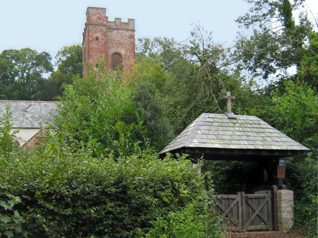
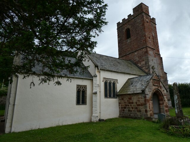
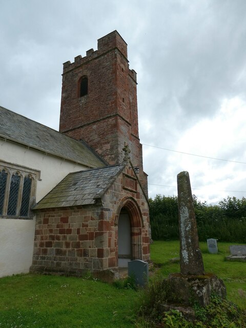
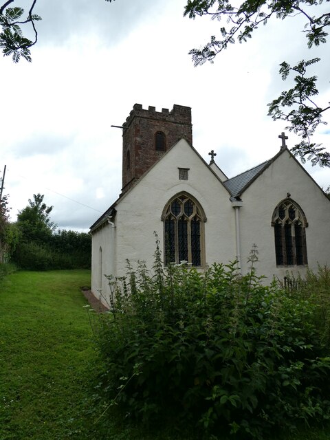
All Saints Church, Dodington
All Saints Church at Dodington in the parish of Holford, Somerset, England was rebuilt and enlarged in the 15th century. It has been designated by English...

Dowsborough
Dowsborough Camp (or Danesborough or Dawesbury) is an Iron Age hill fort on the Quantock Hills near Nether Stowey in Somerset, England. It has been designated...

Stowey Castle
Stowey Castle (or Nether Stowey Castle known locally as The Mount) was a Norman motte-and-bailey castle, built in the 11th century, in the village of Nether...
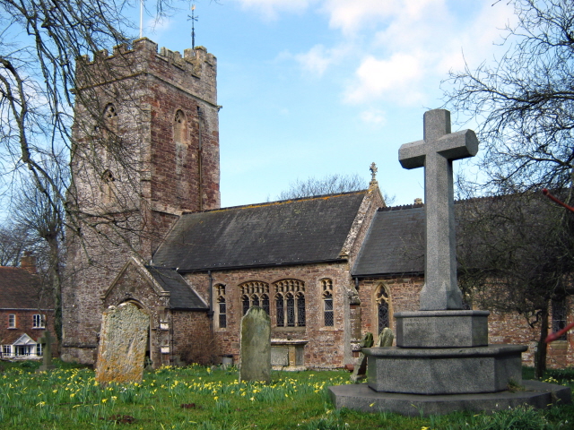
Church of St Peter and St Paul, Over Stowey
Church Of St Peter And St Paul in Over Stowey, Somerset, England, is the Anglican parish church for the ancient parish of Over Stowey, now part of the...

William Holland (diarist)
William Holland (9 May 1746 – 17 April 1819) is now best remembered for his diary, which he kept from 1799 to 1818. == Diary == The diary chronicles his...

Coleridge Cottage
Coleridge Cottage is a cottage situated in Nether Stowey, Bridgwater, Somerset, England. It is a grade II* listed building. The 17th century cottage was...

Holford
Holford is a village and civil parish in West Somerset within the Quantock Hills Area of Outstanding Natural Beauty. It is located about 10 miles (16 km...
Nearby Amenities
Located within 500m of 51.151372,-3.1854174Have you been to Sir Alick's Plantation?
Leave your review of Sir Alick's Plantation below (or comments, questions and feedback).