Bin Combe
Valley in Somerset Somerset West and Taunton
England
Bin Combe
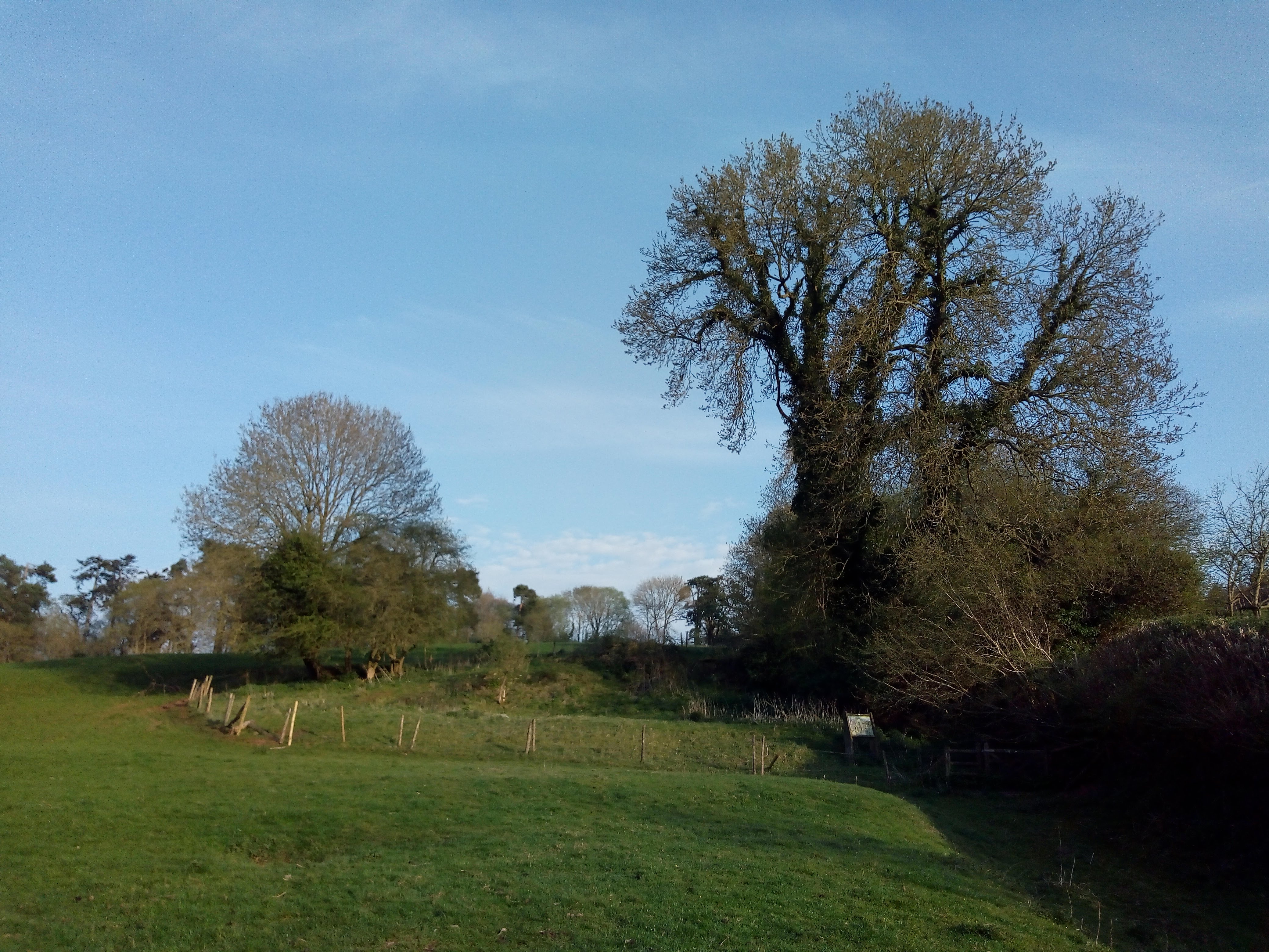
Bin Combe is a picturesque valley located in the county of Somerset, England. Nestled among rolling hills, this idyllic valley is renowned for its stunning natural beauty and peaceful atmosphere. The valley is situated about six miles south of the historic city of Bath, making it an attractive destination for nature lovers and outdoor enthusiasts.
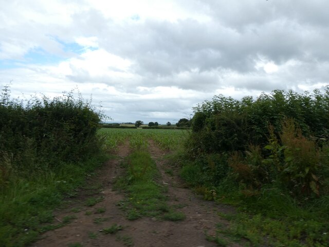
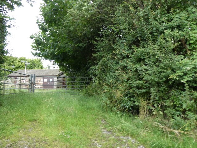
Bin Combe is characterized by its lush greenery, enchanting woodlands, and meandering streams. The valley is home to a diverse range of flora and fauna, creating a haven for wildlife. Visitors can expect to see an array of indigenous plant species, as well as various bird species such as owls, woodpeckers, and kingfishers.
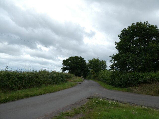
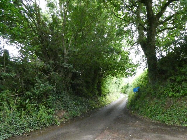
The valley offers numerous walking trails and hiking routes, allowing visitors to explore its scenic surroundings. The footpaths lead through enchanting forests, across meadows adorned with wildflowers, and along the banks of babbling brooks. The peaceful ambiance of Bin Combe makes it an ideal spot for picnics, nature photography, or simply unwinding amidst nature.
Bin Combe also holds historical significance, with evidence of human presence in the area dating back to the Bronze Age. The valley is dotted with ancient burial mounds and remnants of settlements, providing a glimpse into its rich cultural heritage.
Overall, Bin Combe in Somerset is a hidden gem that offers a tranquil retreat from the hustle and bustle of everyday life. With its breathtaking landscapes, abundant wildlife, and historical charm, it is a must-visit destination for those seeking a peaceful and immersive nature experience.
If you have any feedback on the listing, please let us know in the comments section below.
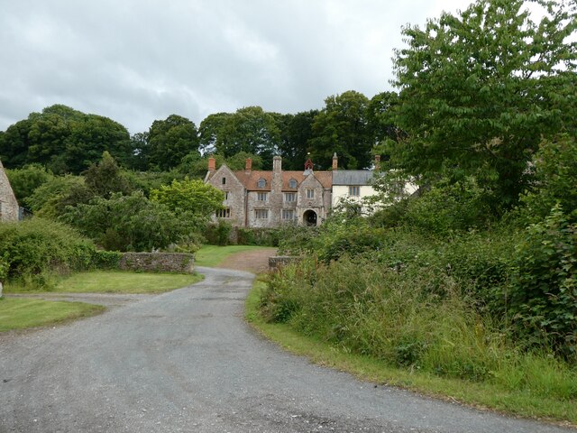
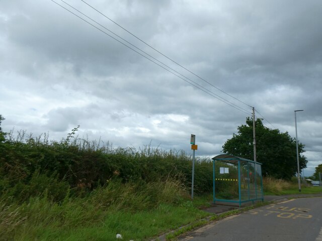
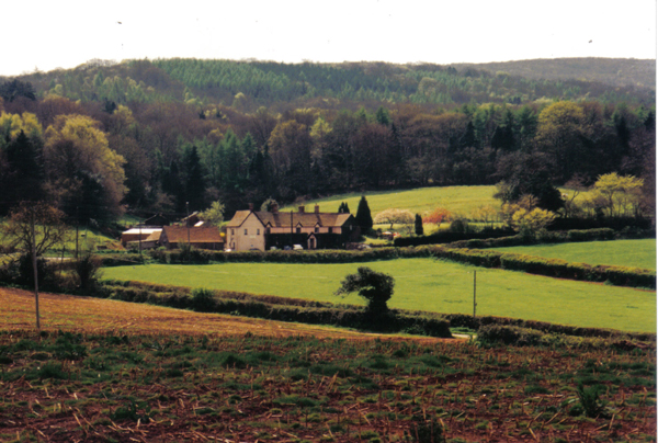
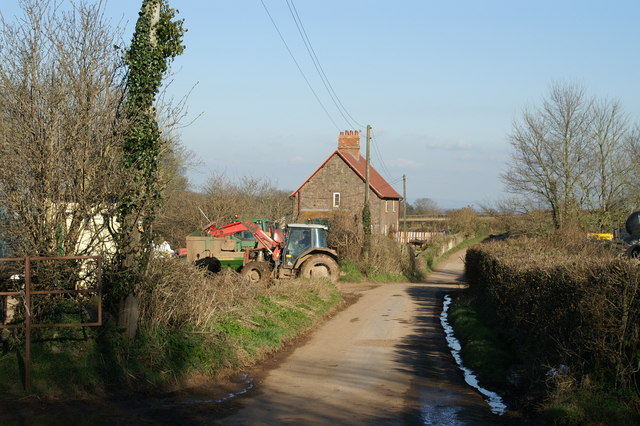
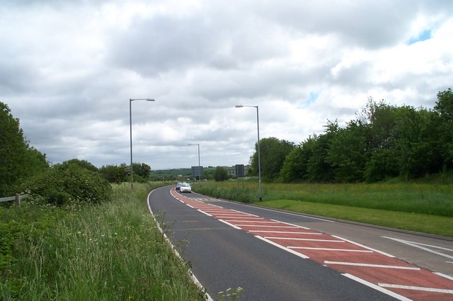
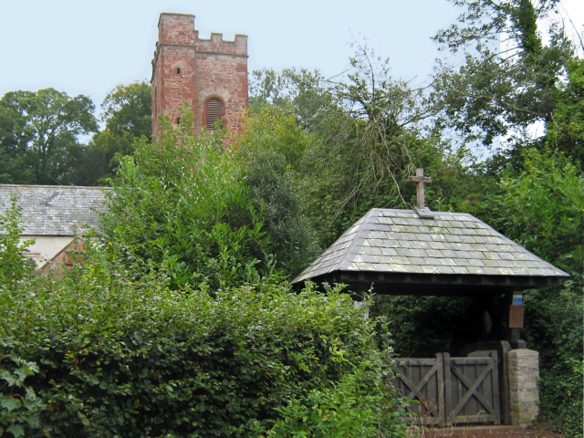
Bin Combe Images
Images are sourced within 2km of 51.147343/-3.1782802 or Grid Reference ST1739. Thanks to Geograph Open Source API. All images are credited.


Bin Combe is located at Grid Ref: ST1739 (Lat: 51.147343, Lng: -3.1782802)
Administrative County: Somerset
District: Somerset West and Taunton
Police Authority: Avon and Somerset
What 3 Words
///birdcage.geek.nickname. Near Nether Stowey, Somerset
Nearby Locations
Related Wikis

Stowey Castle
Stowey Castle (or Nether Stowey Castle known locally as The Mount) was a Norman motte-and-bailey castle, built in the 11th century, in the village of Nether...
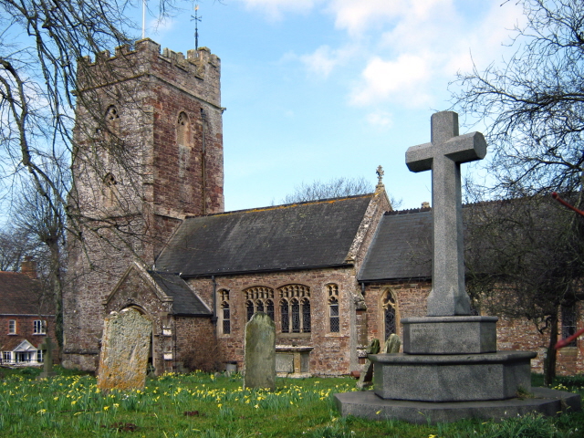
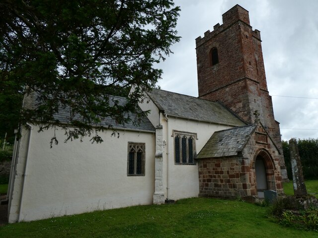
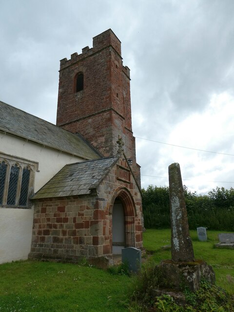
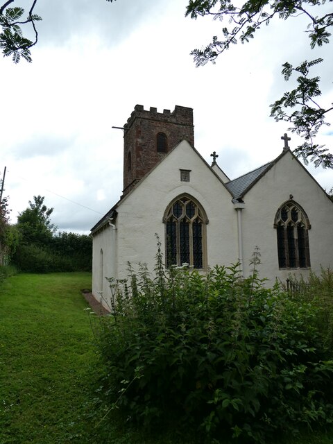
Church of St Peter and St Paul, Over Stowey
Church Of St Peter And St Paul in Over Stowey, Somerset, England, is the Anglican parish church for the ancient parish of Over Stowey, now part of the...

William Holland (diarist)
William Holland (9 May 1746 – 17 April 1819) is now best remembered for his diary, which he kept from 1799 to 1818. == Diary == The diary chronicles his...

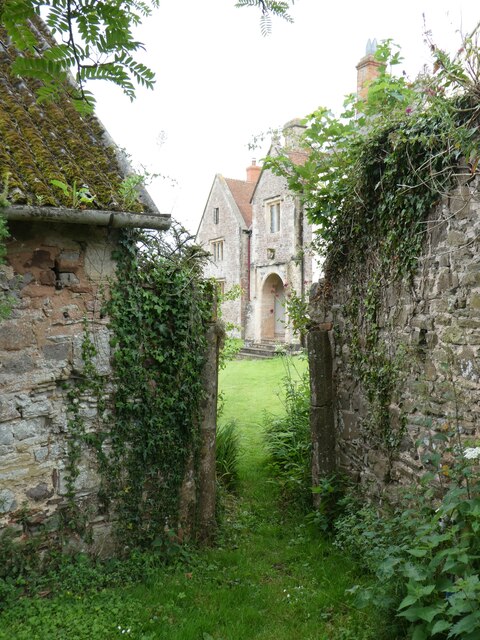
Dodington Hall
Dodington Hall in Dodington, within the English county of Somerset, was built in the 15th century. It is a Grade II* listed building.The house is built...
All Saints Church, Dodington
All Saints Church at Dodington in the parish of Holford, Somerset, England was rebuilt and enlarged in the 15th century. It has been designated by English...

Coleridge Cottage
Coleridge Cottage is a cottage situated in Nether Stowey, Bridgwater, Somerset, England. It is a grade II* listed building. The 17th century cottage was...

Dowsborough
Dowsborough Camp (or Danesborough or Dawesbury) is an Iron Age hill fort on the Quantock Hills near Nether Stowey in Somerset, England. It has been designated...
Adscombe Chapel
Adscombe Chapel: The site and remains of a medieval chapel, located 280 metres (920 ft) east of Adscombe Farm in Somerset, UK, situated on the north-west...
Nearby Amenities
Located within 500m of 51.147343,-3.1782802Have you been to Bin Combe?
Leave your review of Bin Combe below (or comments, questions and feedback).