Bleamoss Wood

Wood, Forest in Cumberland Copeland

England

Bleamoss Wood

A5093 at The Green village boundary
A5093 at The Green village boundary Credit: Colin Pyle

Bleamoss Wood is a picturesque forest located in Cumberland, England. Covering an area of approximately 100 hectares, it is a significant natural habitat in the region. The wood is situated on the edge of a rural village, surrounded by rolling hills and meadows.

The forest is primarily composed of deciduous trees, including oak, beech, and ash, which create a dense canopy that provides shelter and shade for various wildlife species. The woodland floor is adorned with a diverse array of wildflowers, such as bluebells and primroses, adding a splash of color to the landscape during springtime.

Bleamoss Wood is renowned for its rich biodiversity, housing numerous animal species. It serves as a haven for birds, including woodpeckers, owls, and thrushes, while mammals like deer, foxes, and badgers also call the forest home. The wood's tranquil atmosphere and abundance of food sources make it an ideal habitat for these creatures.

The forest is a popular destination for nature enthusiasts, offering a network of well-maintained walking trails that allow visitors to explore its beauty. There are also designated picnic areas and viewpoints, providing opportunities to relax and appreciate the natural surroundings.

In addition to its ecological importance, Bleamoss Wood has historical significance, with evidence of human activity dating back centuries. Archaeological remains, including ancient settlements and burial mounds, indicate that the forest played a role in the lives of past communities.

Bleamoss Wood is not only a stunning natural landscape but also an invaluable ecological and historical treasure, attracting visitors from near and far who seek to immerse themselves in its beauty and serenity.

If you have any feedback on the listing, please let us know in the comments section below.

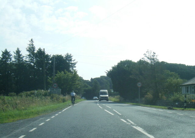
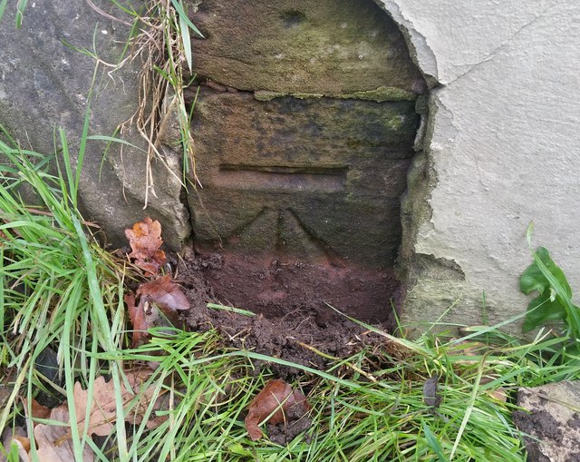
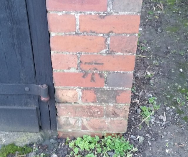
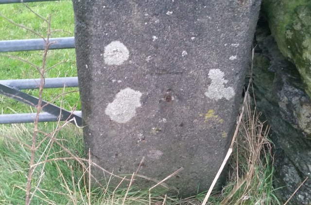
Bleamoss Wood Images

Images are sourced within 2km of 54.245282/-3.2761796 or Grid Reference SD1684. Thanks to Geograph Open Source API. All images are credited.

A5093 at The Green village boundary
A5093 at The Hill village boundary
A5093 south of The Hill
The Punch Bowl Inn, The Green, Millom
Ordnance Survey Cut Mark This OS cut mark can be found on Old Hall Cottage. It marks a point 39.156m above mean sea level.
Ordnance Survey Cut Mark
This OS cut mark can be found on Old Hall Cottage. It marks a point 39.156m above mean sea level.
Ordnance Survey Cut Mark This OS cut mark can be found on Briar Dene. It marks a point 19.020m above mean sea level.
Ordnance Survey Cut Mark
This OS cut mark can be found on Briar Dene. It marks a point 19.020m above mean sea level.
SRPS Cumbrian Coast Railtour 2018 : Green Road Station
Boundary Stone Toppled and damaged, over stream, south side of the A595.
Boundary Stone
Toppled and damaged, over stream, south side of the A595.
Ordnance Survey Rivet This OS rivet can be found on the step of the buried water tank compound. It marks a point 107.189m above mean sea level.
Ordnance Survey Rivet
This OS rivet can be found on the step of the buried water tank compound. It marks a point 107.189m above mean sea level.
Ordnance Survey Rivet This OS rivet can be found on the wall SE side of the road. It marks a point 92.013m above mean sea level.
Ordnance Survey Rivet
This OS rivet can be found on the wall SE side of the road. It marks a point 92.013m above mean sea level.
Ordnance Survey Cut Mark This OS cut mark can be found on the wall south side of the road. It marks a point 54.724m above mean sea level.
Ordnance Survey Cut Mark
This OS cut mark can be found on the wall south side of the road. It marks a point 54.724m above mean sea level.
Ordnance Survey Cut Mark This OS cut mark can be found on the rock face NE side of the road. It marks a point 56.565m above mean sea level.
Ordnance Survey Cut Mark
This OS cut mark can be found on the rock face NE side of the road. It marks a point 56.565m above mean sea level.
Ordnance Survey Cut Mark This OS cut mark can be found on the Village Hall SE side of the road. It marks a point 51.075m above mean sea level.
Ordnance Survey Cut Mark
This OS cut mark can be found on the Village Hall SE side of the road. It marks a point 51.075m above mean sea level.
Ordnance Survey Cut Mark This OS cut mark can be found on the gatepost south side of the road. It marks a point 59.576m above mean sea level.
Ordnance Survey Cut Mark
This OS cut mark can be found on the gatepost south side of the road. It marks a point 59.576m above mean sea level.
Ordnance Survey Flush Bracket (G3081) This OS Flush Bracket can be found on Hall Bank. It marks a point 28.226m above mean sea level.
Ordnance Survey Flush Bracket (G3081)
This OS Flush Bracket can be found on Hall Bank. It marks a point 28.226m above mean sea level.
Ordnance Survey Cut Mark This OS cut mark can be found on the brick building at Waltham Nursery. It marks a point 5.925m above mean sea level.
Ordnance Survey Cut Mark
This OS cut mark can be found on the brick building at Waltham Nursery. It marks a point 5.925m above mean sea level.
Ordnance Survey Flush Bracket (G3077) This OS Flush Bracket can be found on The Oaks. It marks a point 35.752m above mean sea level.
Ordnance Survey Flush Bracket (G3077)
This OS Flush Bracket can be found on The Oaks. It marks a point 35.752m above mean sea level.
Ordnance Survey Cut Mark This OS cut mark can be found on the gatepost NE side of the road. It marks a point 59.489m above mean sea level.
Ordnance Survey Cut Mark
This OS cut mark can be found on the gatepost NE side of the road. It marks a point 59.489m above mean sea level.
Show me another place!

Bleamoss Wood is located at Grid Ref: SD1684 (Lat: 54.245282, Lng: -3.2761796)

Administrative County: Cumbria

District: Copeland

Police Authority: Cumbria

What 3 Words

///strikers.described.rang. Near Millom, Cumbria

Related Wikis

Arnaby

Arnaby is a village in Cumbria, England.

St Anne's Church, Thwaites

St Anne's Church is in the village of Thwaites, Cumbria, England. It is an active Anglican parish church in the deanery of Millom, the archdeaconry of...

Thwaites, Cumbria

Thwaites is a small village near Duddon Valley and on the edge of the Duddon Estuary in the Lake District National Park in the Borough of Copeland, Cumbria...

Millom Without

Millom Without is a civil parish in the county of Cumbria, England. It had a population of 1,638 in 2001, decreasing to 859 at the 2011 Census. Millom...

Green Road railway station

Green Road is a railway station on the Cumbrian Coast Line, which runs between Carlisle and Barrow-in-Furness. The station, situated 13+1⁄2 miles (22 km...

St Peter, Drigg

St Peter, Drigg is in Drigg, Cumbria, England. It is an active Anglican parish church in the deanery of Calder, and the diocese of Carlisle. Its benefice...

Millom Castle

Millom Castle is an ancient building at Millom in Cumbria. It is a Grade I listed building and scheduled ancient monument. == History == A manor on the...

Holy Trinity Church, Millom

Holy Trinity Church is a medieval building situated next to Millom Castle near the town of Millom, Cumbria, England. It is an active Anglican parish church...

Nearby Amenities

Located within 500m of 54.245282,-3.2761796
Barrier: cattle_grid
Lat/Long: 54.2433249/-3.2736149
Power: tower
Lat/Long: 54.2451774/-3.2808561
Power: tower
Lat/Long: 54.2463137/-3.2746762
Power: tower
Lat/Long: 54.2470157/-3.2708955
Power: pole
Lat/Long: 54.2493565/-3.2769339
Power: pole
Lat/Long: 54.2488326/-3.27881
Power: pole
Lat/Long: 54.2464981/-3.2824454
Power: pole
Lat/Long: 54.2453581/-3.2825554
Power: pole
Lat/Long: 54.2437309/-3.2824859
Power: pole
Lat/Long: 54.2483787/-3.2785611
Power: pole
Lat/Long: 54.24261/-3.276645
Power: pole
Lat/Long: 54.2429767/-3.2798589
Power: pole
Lat/Long: 54.2427864/-3.2818897
Power: pole
Lat/Long: 54.241622/-3.2741975
Power: pole
Lat/Long: 54.241233/-3.273254
Power: pole
Lat/Long: 54.2482728/-3.2807373
Power: pole
Lat/Long: 54.2473807/-3.2823662
Barrier: stile
Lat/Long: 54.2413406/-3.2729173
Ford: yes
Lat/Long: 54.2430239/-3.2735164
The data included in this document is from www.openstreetmap.org. The data is made available under ODbL.

Have you been to Bleamoss Wood?

Leave your review of Bleamoss Wood below (or comments, questions and feedback).