Govett's Wood

Wood, Forest in Somerset Sedgemoor

England

Govett's Wood

Frog Hill on the Quantocks A view north west from Frog Hill on the Quantock Hills.
Frog Hill on the Quantocks Credit: Kevin Pearson

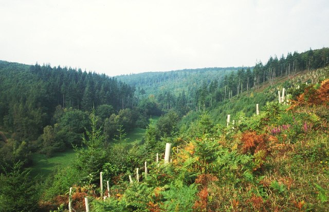
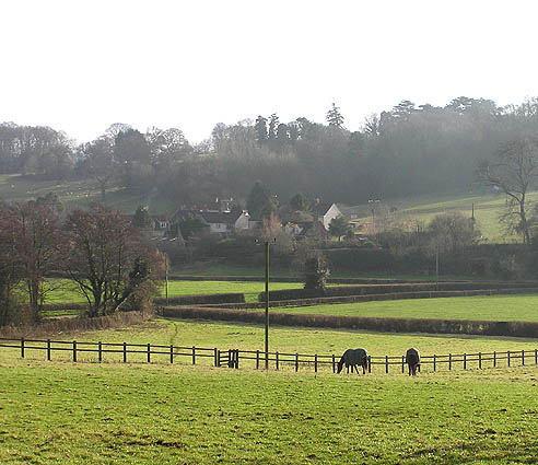
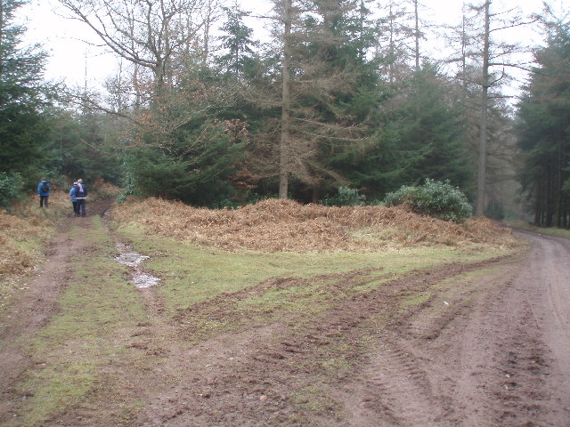
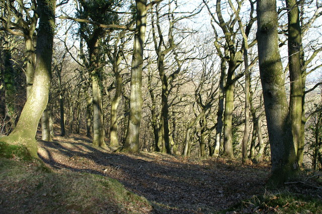
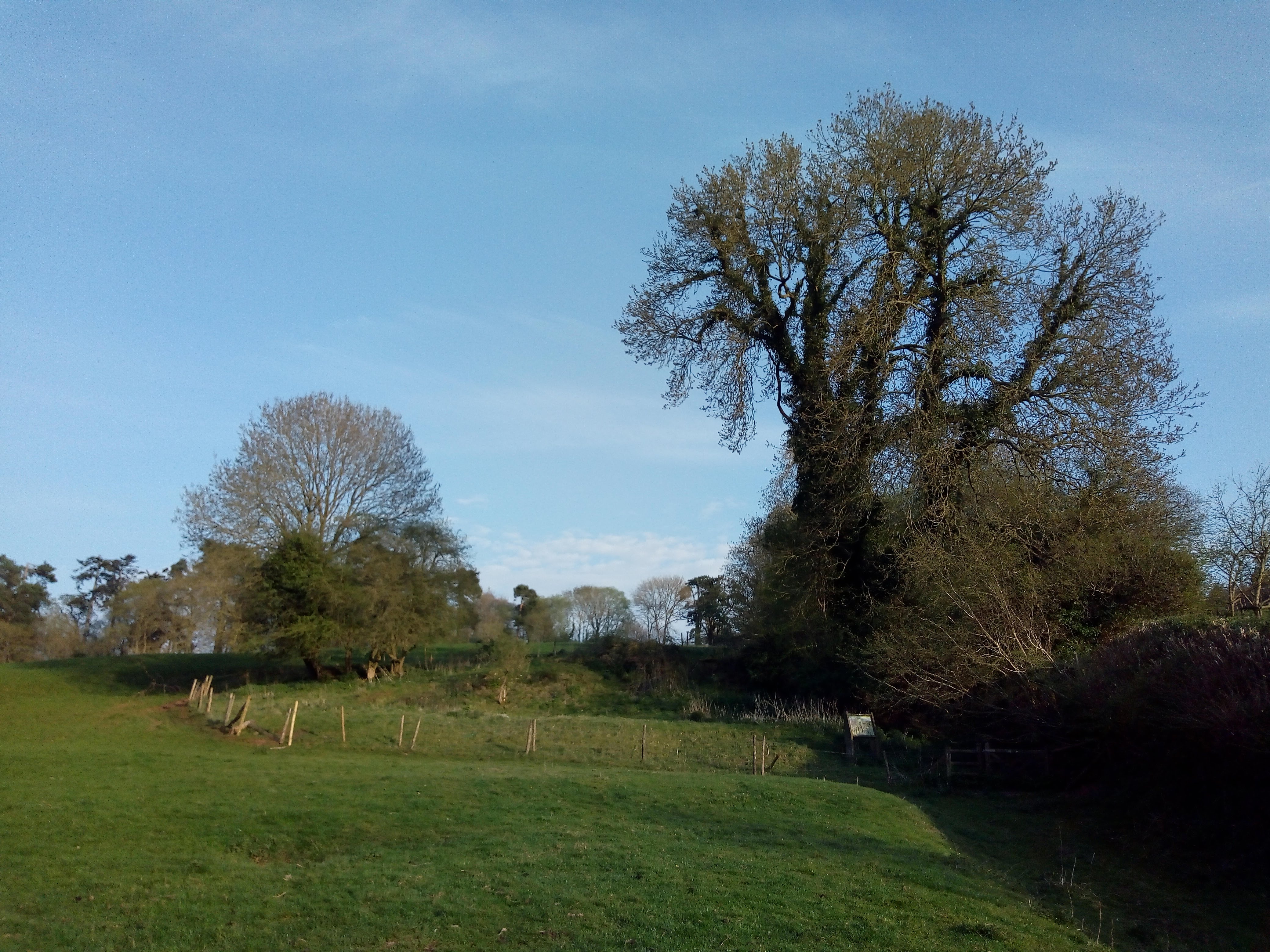
Govett's Wood is a picturesque woodland located in Somerset, England. It covers an area of approximately 50 acres and is nestled within the Quantock Hills, a designated Area of Outstanding Natural Beauty.

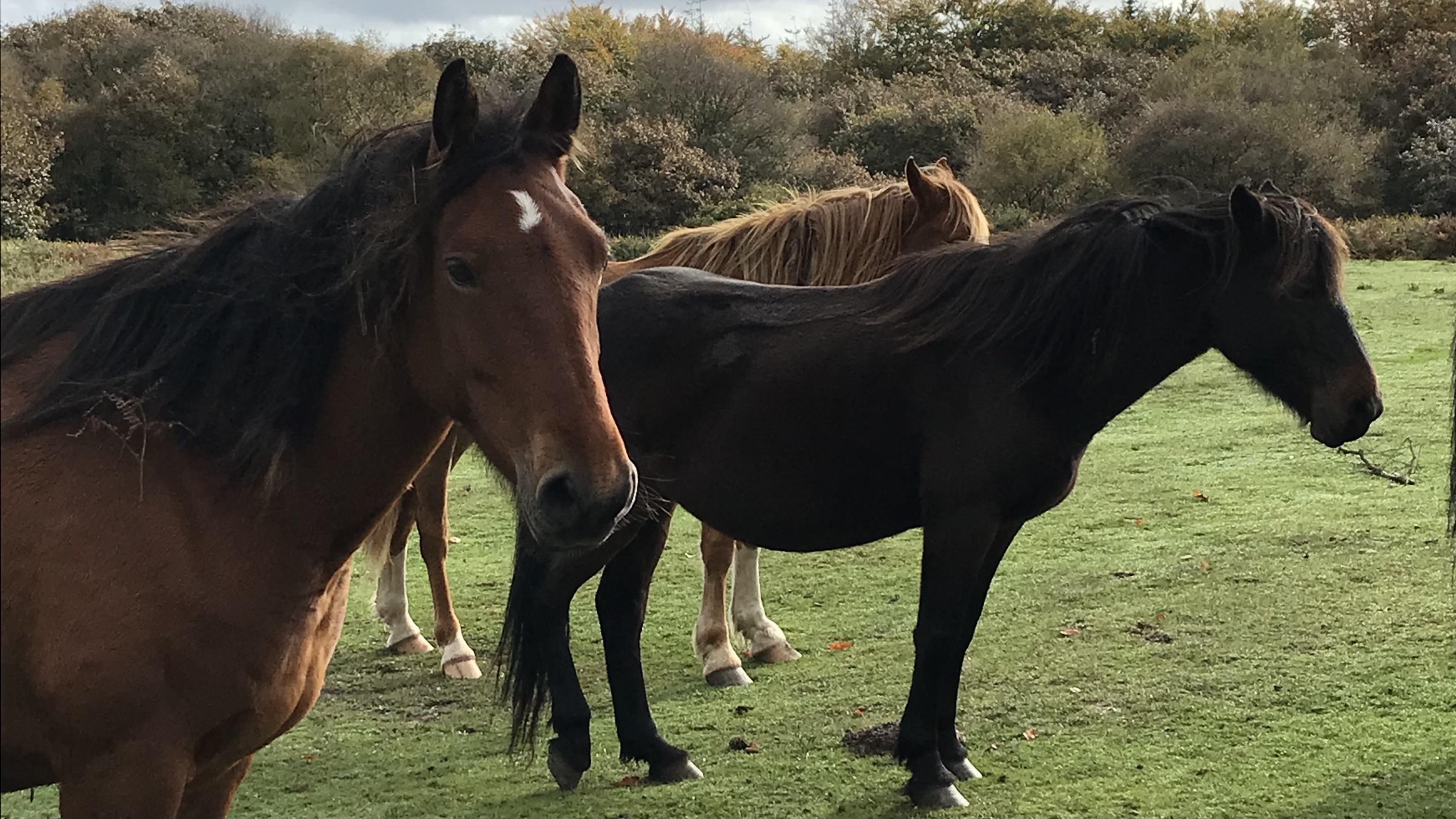
The woodland is known for its diverse range of tree species, including oak, beech, and ash, which create a vibrant and ever-changing scenery throughout the seasons. The dense canopy of trees provides a haven for various wildlife, making it a popular spot for nature enthusiasts and bird watchers.

Visitors to Govett's Wood can enjoy a network of well-maintained footpaths that wind through the woodland, offering peaceful and tranquil walks. The paths are suitable for all abilities and provide opportunities to explore the different sections of the wood, each with its own unique character.

The wood is also home to a small stream that meanders through the trees, adding to the natural beauty and providing a habitat for aquatic creatures. There are several picturesque bridges that span the stream, creating charming photo opportunities.

Govett's Wood is a perfect destination for those seeking a peaceful retreat in nature. The wood offers a sense of tranquility, with its peaceful atmosphere and stunning scenery. It is a place where visitors can escape the hustle and bustle of everyday life and immerse themselves in the beauty of the natural world.

If you have any feedback on the listing, please let us know in the comments section below.

Govett's Wood Images

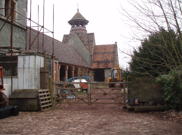
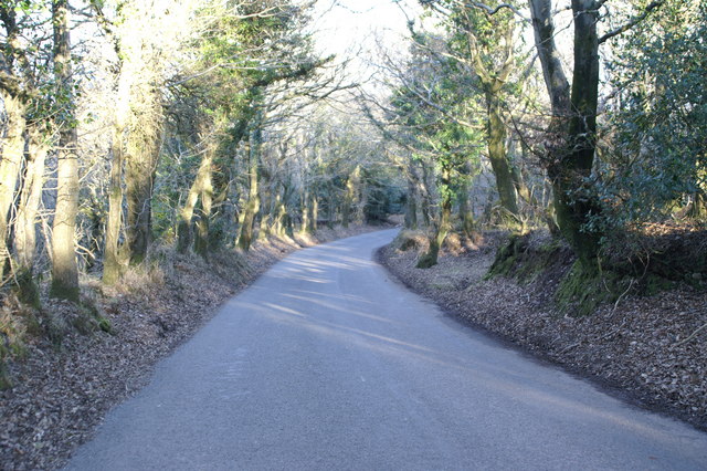
Images are sourced within 2km of 51.133533/-3.1887765 or Grid Reference ST1637. Thanks to Geograph Open Source API. All images are credited.

Frog Hill on the Quantocks A view north west from Frog Hill on the Quantock Hills.
Frog Hill on the Quantocks
A view north west from Frog Hill on the Quantock Hills.
Path on Robin Upright's Hill
Bronze Age Barrow Within Dowsborough Hillfort
Forested hillside
Forested hillside
Rams Combe Forestry in the Quantocks. Steep sided valleys are a feature of the eastern side of the hills, and here they have been planted by the Forestry Commission. Looking up Rams Combe from a steep track climbing up the north eastern side of the valley.
Rams Combe
Forestry in the Quantocks. Steep sided valleys are a feature of the eastern side of the hills, and here they have been planted by the Forestry Commission. Looking up Rams Combe from a steep track climbing up the north eastern side of the valley.
Road Country Lane in the Northern Quantocks This road runs from Dead Woman's Ditch, past Five Lords and Walfords Gibbet down to the main A39 near The Castle of Comfort.
Road Country Lane in the Northern Quantocks
This road runs from Dead Woman's Ditch, past Five Lords and Walfords Gibbet down to the main A39 near The Castle of Comfort.
View from Crowcombe Park Gate Taken looking north east from the Crowcombe - Nether Stowey road, high in the Quantocks.
View from Crowcombe Park Gate
Taken looking north east from the Crowcombe - Nether Stowey road, high in the Quantocks.
Holford Combe
Holford Combe
Aley from Over Stowey
Parish church of Sts. Peter & Paul, Over Stowey
Houses opposite the church, Over Stowey
Dovecot at Quantock Lodge. This spectacular dovecot is in the grounds of Quantock Lodge, a large country house which used to be a school.
Dovecot at Quantock Lodge.
This spectacular dovecot is in the grounds of Quantock Lodge, a large country house which used to be a school.
Quantock tracks. The track to the right runs down Keeper's Combe, the left hand track runs more directly back towards Quantock Lodge.
Quantock tracks.
The track to the right runs down Keeper's Combe, the left hand track runs more directly back towards Quantock Lodge.
Quantock walk near head of Triscombe Combe Looking SE along the ridge-top Quantocks track that here is followed by the Samaritans Way and the Macmillan Way West
Quantock walk near head of Triscombe Combe
Looking SE along the ridge-top Quantocks track that here is followed by the Samaritans Way and the Macmillan Way West
Woods on Quantock Common
Cattle Grid at Entrance to Quantock Common
Pony on Quantock common
Road through the woods on Quantock Common
Show me another place!

Govett's Wood is located at Grid Ref: ST1637 (Lat: 51.133533, Lng: -3.1887765)

Administrative County: Somerset

District: Sedgemoor

Police Authority: Avon and Somerset

What 3 Words

///munch.mornings.watch. Near Nether Stowey, Somerset

Nearby Locations

Rams Combe Govett's Wood

Related Wikis

Dead Woman's Ditch

Dead Woman's Ditch is an earthwork which has been scheduled as an ancient monument in Over Stowey, Somerset, England situated on the Quantock Hills. A...

Adscombe Chapel

Adscombe Chapel: The site and remains of a medieval chapel, located 280 metres (920 ft) east of Adscombe Farm in Somerset, UK, situated on the north-west...

Dowsborough

Dowsborough Camp (or Danesborough or Dawesbury) is an Iron Age hill fort on the Quantock Hills near Nether Stowey in Somerset, England. It has been designated...

Quantock Lodge

Quantock Lodge is a grade II listed nineteenth-century Gothic revival mansion built by Henry Labouchere, 1st Baron Taunton (1798–1869), to the design of...

Nearby Amenities

Located within 500m of 51.133533,-3.1887765
Bbq
Lat/Long: 51.1324598/-3.1893654
Bbq
Lat/Long: 51.1324234/-3.1893044
The data included in this document is from www.openstreetmap.org. The data is made available under ODbL.

Have you been to Govett's Wood?

Leave your review of Govett's Wood below (or comments, questions and feedback).