Seacross Wood

Wood, Forest in Cumberland Allerdale

England

Seacross Wood

Dead Crag Following a path up to Sale Fell.
Dead Crag Credit: steven ruffles

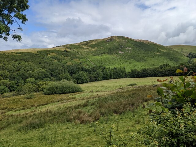
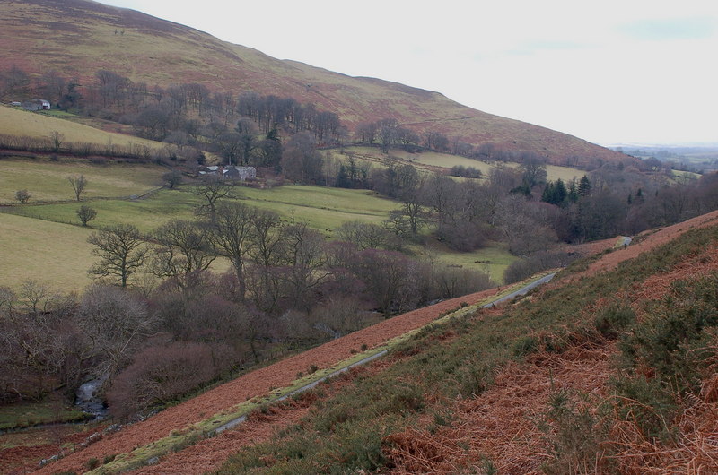
Seacross Wood is a lush and picturesque woodland located in Cumberland, England. Covering an area of approximately 500 acres, it is known for its diverse range of flora and fauna, making it a popular destination for nature enthusiasts and hikers.

The wood is characterized by its dense canopy of towering oak, beech, and ash trees, which provide a tranquil and shaded environment. These ancient trees, some of which are over 200 years old, create a rich and vibrant ecosystem that supports a variety of wildlife.

Seacross Wood is home to numerous species of birds, including woodpeckers, owls, and various songbirds. Visitors may also encounter small mammals such as deer, foxes, and rabbits, adding to the enchanting atmosphere of the forest.

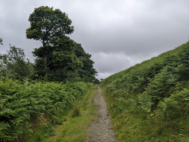
The woodland is crisscrossed by several well-maintained trails, offering visitors the opportunity to explore its natural beauty at their own pace. These paths wind through the forest, leading to hidden glades, babbling brooks, and small ponds, providing plenty of opportunities for peaceful contemplation or picnics in serene surroundings.

Seacross Wood is also known for its important role in conservation efforts. The woodland is managed carefully, with sustainable practices in place to maintain its ecological balance and protect its unique biodiversity.

Whether it's a leisurely stroll, birdwatching, or simply appreciating the wonders of nature, Seacross Wood offers a tranquil escape from the hustle and bustle of everyday life. Its natural beauty and serene ambiance make it a must-visit destination for those seeking a connection with the natural world.

If you have any feedback on the listing, please let us know in the comments section below.

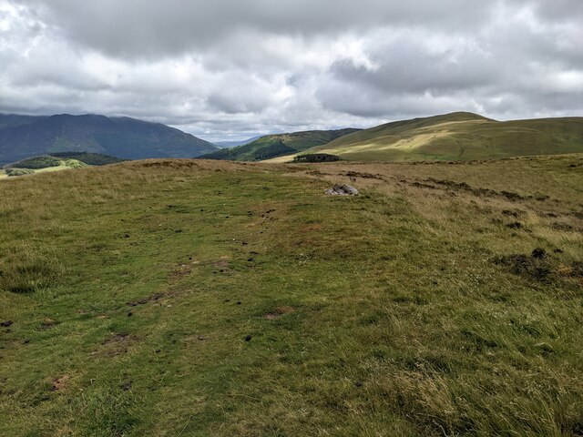
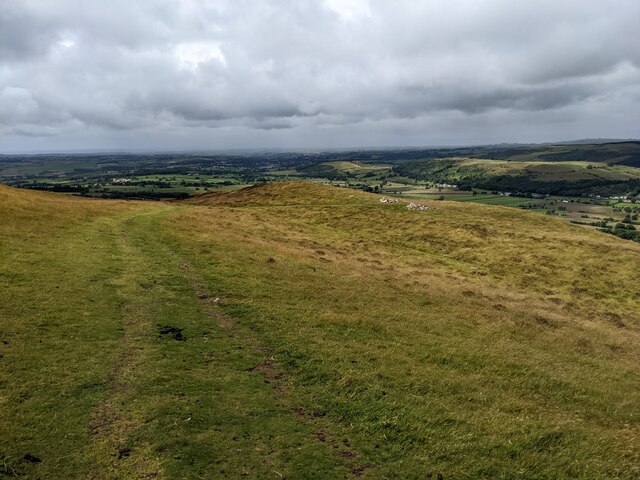
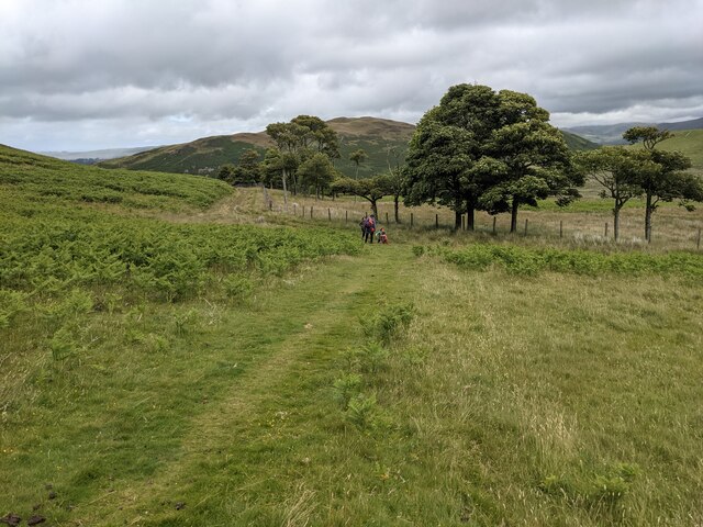
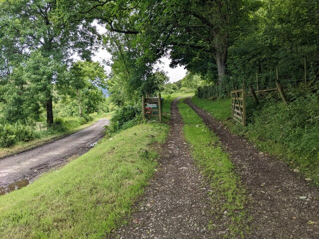
Seacross Wood Images

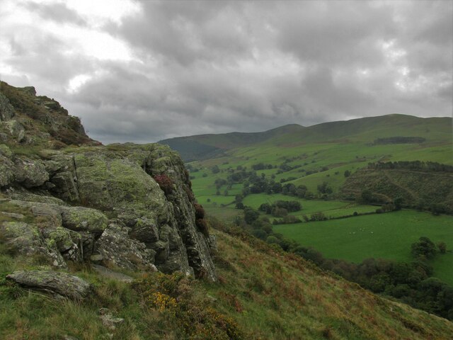
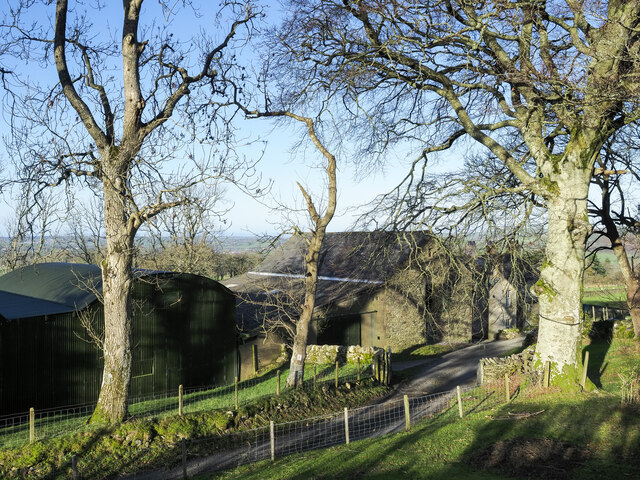
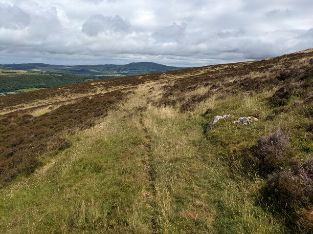
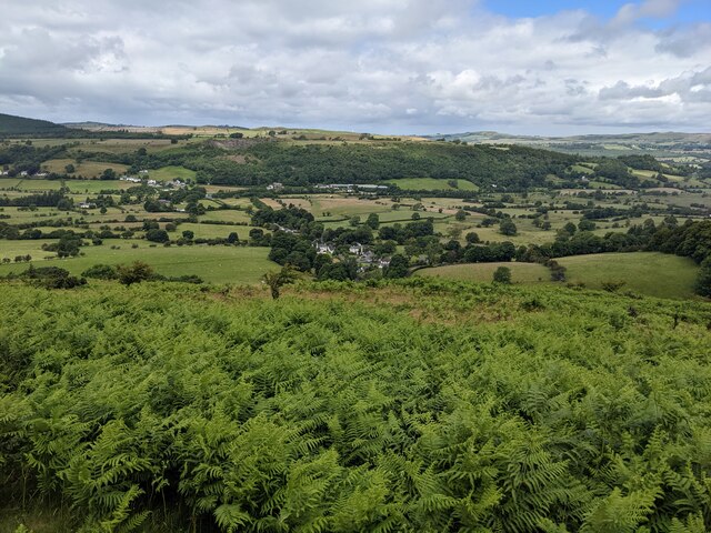
Images are sourced within 2km of 54.655305/-3.2893715 or Grid Reference NY1629. Thanks to Geograph Open Source API. All images are credited.

Dead Crag Following a path up to Sale Fell.
Dead Crag
Following a path up to Sale Fell.
Buildings at Jenkin Farm A variety of buildings at Jenkin Farm: a corrugated metal barn beside one built from stone, and Jenkin Cottage beyond the nearest tree.
Buildings at Jenkin Farm
A variety of buildings at Jenkin Farm: a corrugated metal barn beside one built from stone, and Jenkin Cottage beyond the nearest tree.
Dead bracken on hill slope The slope is on the eastern side of Ling Fell.
Sale Fell is the nearer hill across the valley; it partly conceals another hill, Binsey.
Dead bracken on hill slope
The slope is on the eastern side of Ling Fell. Sale Fell is the nearer hill across the valley; it partly conceals another hill, Binsey.
A track to nowhere Shown on the map as just petering out, which it does. Possibly it was used by grouse shooters.
A track to nowhere
Shown on the map as just petering out, which it does. Possibly it was used by grouse shooters.
The Corpse Road on Ling Fell Presumably once used to carry coffins, but from where to where? It goes up to the summit of Ling Fell.
The Corpse Road on Ling Fell
Presumably once used to carry coffins, but from where to where? It goes up to the summit of Ling Fell.
A track on Ling Fell It served a line of grouse butts, off to the left.
A track on Ling Fell
It served a line of grouse butts, off to the left.
Looking down towards Wythop Mill
The summit plateau of Ling Fell
The trig point on Ling Fell A small boy is about to climb it - not very obvious in the shot!
The trig point on Ling Fell
A small boy is about to climb it - not very obvious in the shot!
A grassy track on Ling Fell
A track down to Burthwaite
A small clump of trees below Ling Fell
The track to Burthwaite house
Looking towards Dodd Crag on Sale Fell
The trees above Burthwaite house
Wadcrag roadend
Wadcrag roadend
Wythop Mill
Wythop Mill
Looking along the Wythop Beck The old mill race can be seen, overgrown, on the left leading down to the mill.
Looking along the Wythop Beck
The old mill race can be seen, overgrown, on the left leading down to the mill.
Show me another place!

Seacross Wood is located at Grid Ref: NY1629 (Lat: 54.655305, Lng: -3.2893715)

Administrative County: Cumbria

District: Allerdale

Police Authority: Cumbria

What 3 Words

///deflated.summer.birds. Near Cockermouth, Cumbria

Nearby Locations

Seacross Wood Beckhouse

Related Wikis

Embleton, Cumbria

Embleton is a small village and civil parish located in the Allerdale district in Cumbria, England. It is located east of Cockermouth on the A66 road,...

Embleton railway station

Embleton railway station was situated on the Cockermouth, Keswick and Penrith Railway between Penrith and Cockermouth in Cumberland (now in Cumbria), England...

Ling Fell

Ling Fell is a small hill in the north west of the Lake District in the United Kingdom. It is close to the village of Wythop Mill, from where it can easily...

Wythop

Wythop is a civil parish in the north of Cumbria, England, between Cockermouth and Keswick. Population details are no longer maintained and can be found...

Nearby Amenities

Located within 500m of 54.655305,-3.2893715
Power: pole
Lat/Long: 54.6562914/-3.2963418
Power: pole
Lat/Long: 54.6568918/-3.294935
Power: pole
Lat/Long: 54.6574435/-3.293583
Power: pole
Lat/Long: 54.6578599/-3.2925744
Power: pole
Lat/Long: 54.6585447/-3.2911238
Power: pole
Lat/Long: 54.6592184/-3.289719
High Abbey
Place: locality
Lat/Long: 54.6532662/-3.2824425
Low Abbey
Place: locality
Lat/Long: 54.6524947/-3.2850607
Power: pole
Lat/Long: 54.6577593/-3.295016
Power: pole
Lat/Long: 54.6562915/-3.283103
Power: pole
Lat/Long: 54.6559711/-3.2843743
Power: pole
Lat/Long: 54.655674/-3.285639
Power: pole
Lat/Long: 54.6552822/-3.2873623
Power: pole
Lat/Long: 54.6547872/-3.288568
Power: pole
Lat/Long: 54.6543372/-3.2896583
Power: pole
Lat/Long: 54.6538795/-3.2907499
Power: pole
Lat/Long: 54.653421/-3.2918711
Power: pole
Lat/Long: 54.6528988/-3.293113
Power: pole
Lat/Long: 54.6523673/-3.2943575
Power: pole
Lat/Long: 54.6538805/-3.2831853
Power: pole
Lat/Long: 54.6548933/-3.2837309
Power: pole
Lat/Long: 54.6581945/-3.2947981
Power: pole
Lat/Long: 54.6577754/-3.2895306
Power: pole
Lat/Long: 54.6578328/-3.2881334
Power: pole
Lat/Long: 54.6578806/-3.2864634
Power: pole
Lat/Long: 54.6579386/-3.2848419
The data included in this document is from www.openstreetmap.org. The data is made available under ODbL.

Have you been to Seacross Wood?

Leave your review of Seacross Wood below (or comments, questions and feedback).