Booby's Copse
Wood, Forest in Somerset Somerset West and Taunton
England
Booby's Copse
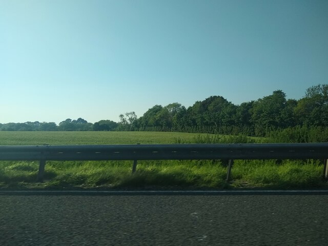
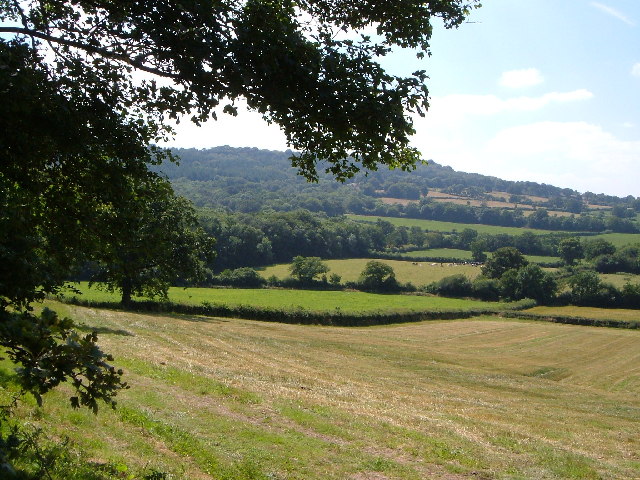
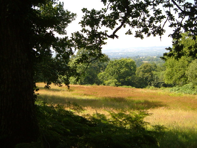
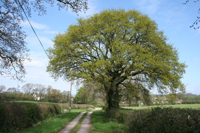
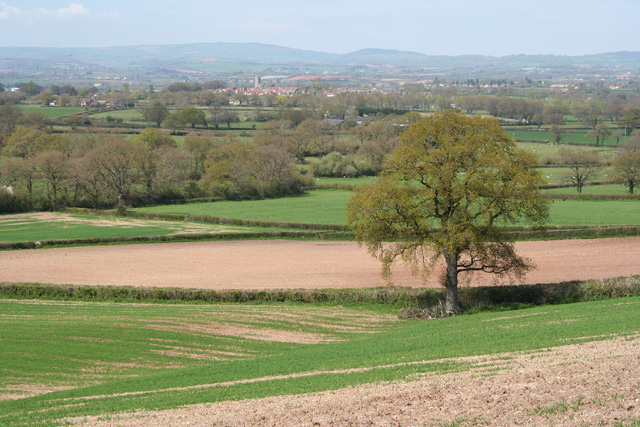
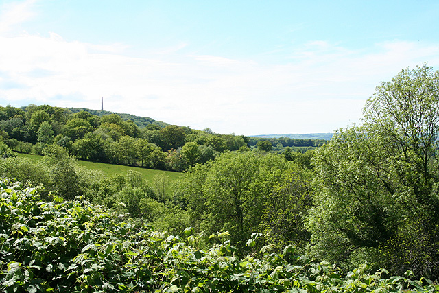
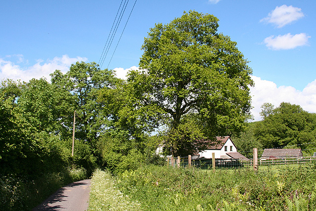
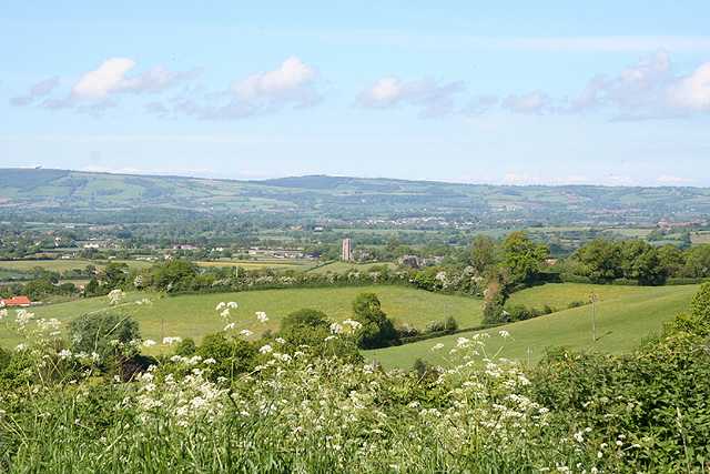
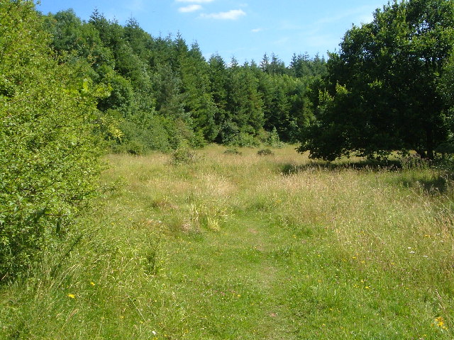
Booby's Copse is a charming woodland located in Somerset, England. Nestled amidst the rolling hills and picturesque countryside, this small copse is a haven for nature enthusiasts and avid walkers alike. Spanning an area of approximately 10 acres, Booby's Copse is a delightful destination for those seeking tranquility and an escape from the bustling city life.
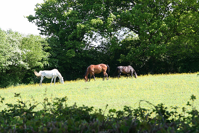
The copse is predominantly composed of deciduous trees, including oak, beech, and ash, which provide a lush canopy during the summer months and create a stunning display of colors during autumn. The forest floor is adorned with a myriad of wildflowers, creating a vibrant tapestry that attracts a diverse range of wildlife, such as squirrels, rabbits, and various bird species.
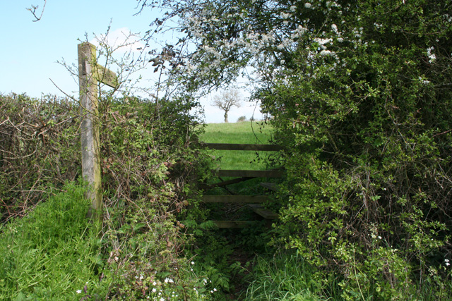
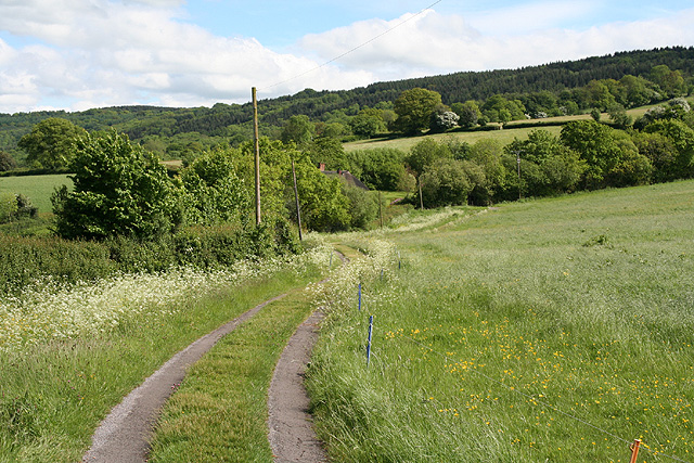
A network of well-maintained footpaths winds its way through Booby's Copse, allowing visitors to explore the woodland at their own pace. The paths are lined with wooden benches, providing opportunities for contemplation and relaxation amidst the natural beauty. Along the way, informative signs offer insights into the copse's flora and fauna, enriching the visitor's experience.
Booby's Copse is also home to a small pond, which serves as a watering hole for the local wildlife. In the spring, the pond comes alive with the croaking of frogs and the chirping of insects, creating a symphony of sounds that resonates throughout the copse.
Whether it's a leisurely stroll, birdwatching, or simply immersing oneself in the serenity of nature, Booby's Copse offers a tranquil retreat for individuals seeking solace and connection with the natural world.
If you have any feedback on the listing, please let us know in the comments section below.
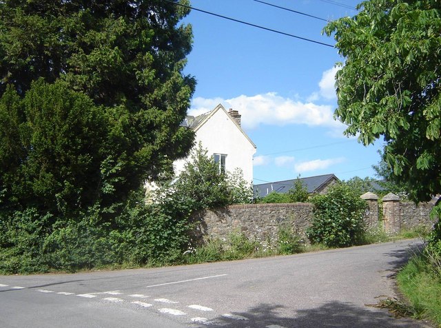
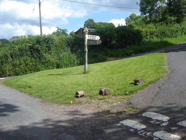
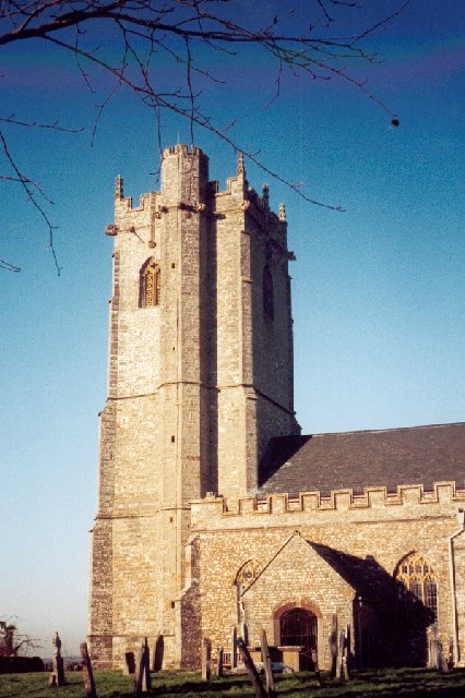
Booby's Copse Images
Images are sourced within 2km of 50.962352/-3.1850705 or Grid Reference ST1618. Thanks to Geograph Open Source API. All images are credited.


Booby's Copse is located at Grid Ref: ST1618 (Lat: 50.962352, Lng: -3.1850705)
Administrative County: Somerset
District: Somerset West and Taunton
Police Authority: Avon and Somerset
What 3 Words
///health.airports.sourcing. Near Hemyock, Devon
Nearby Locations
Related Wikis
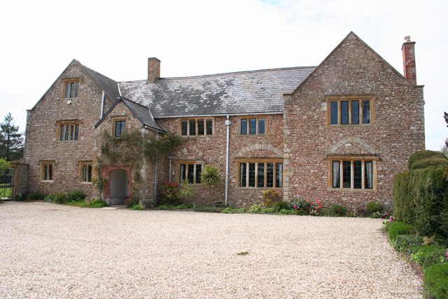
Gerbestone Manor
Gerbestone Manor in West Buckland, Somerset, England was largely rebuilt in the late 16th century, although some fabric from the 13th century house remains...
West Buckland
West Buckland is a village and civil parish in Somerset, England, situated 5 miles (8.0 km) south west of Taunton. The parish has a population of 1,189...
Quants Reserve
Quants Reserve is a nature reserve north west of Burnworthy in Somerset, England. It consists of a grassland clearing in a forestry plantation. It is well...

South West England
South West England, or the South West of England, is one of the nine official regions of England in the United Kingdom. It consists of the counties of...

Wellington Rural District, Somerset
Wellington was a rural district in Somerset, England, from 1894 to 1974. It was created in 1894 under the Local Government Act 1894. In 1974 it was abolished...

Wellington Without
Wellington Without is a civil parish in Somerset, England. It lies south of Wellington and has a population of 727. The parish includes the hamlet of Ford...

Church of St Michael, Angersleigh
The Anglican Church of St Michael in Angersleigh, Somerset, England was built in the 14th century. It is a Grade II* listed building. == History == The...

Leigh Reservoir
Leigh Reservoir, or Leigh Hill Reservoir, is a small reservoir in Somerset, England. It was built in 1893 to supply water to the town of Taunton, Somerset...
Nearby Amenities
Located within 500m of 50.962352,-3.1850705Have you been to Booby's Copse?
Leave your review of Booby's Copse below (or comments, questions and feedback).