Bewsgill Wood

Wood, Forest in Cumberland Allerdale

England

Bewsgill Wood

Trees on Clints Crags Looking east to Binsey.
Trees on Clints Crags Credit: Ian Taylor

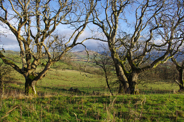
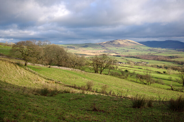
Bewsgill Wood is a picturesque woodland located in Cumberland, a historic county in the northwest of England. This enchanting forest covers an area of approximately 500 acres and is known for its diverse range of flora and fauna, making it a popular destination for nature enthusiasts and hikers.

The wood is primarily composed of broadleaf trees, including oak, beech, and birch, which create a dense canopy that provides shade and shelter for numerous species of wildlife. It is home to various bird species, such as woodpeckers, owls, and thrushes, as well as small mammals like squirrels and rabbits. The forest floor is adorned with an array of wildflowers, adding vibrant colors to the woodland scenery.

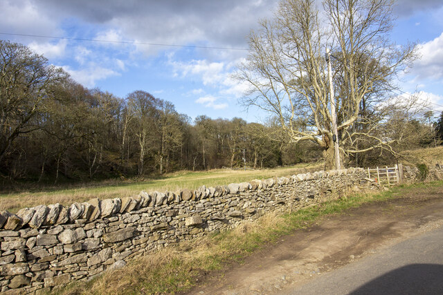
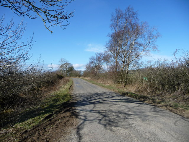
For visitors seeking outdoor activities, Bewsgill Wood offers several walking trails that meander through the forest, providing opportunities to immerse oneself in the peaceful ambiance and enjoy the natural beauty. These trails cater to different levels of difficulty, ensuring there is something for everyone to enjoy, whether it be a leisurely stroll or a more challenging hike.

The wood is well-maintained, with clear signposts and designated picnic areas, allowing visitors to pause and appreciate the tranquility of the surroundings. Additionally, interpretive boards throughout the forest provide information about the local flora and fauna, enhancing the educational experience for visitors interested in learning more about the ecosystem.

Overall, Bewsgill Wood is a captivating woodland that offers a serene escape from the hustle and bustle of everyday life. Its diverse ecosystem and well-maintained trails make it an ideal destination for nature lovers and outdoor enthusiasts in Cumberland.

If you have any feedback on the listing, please let us know in the comments section below.

Bewsgill Wood Images

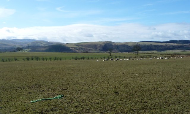
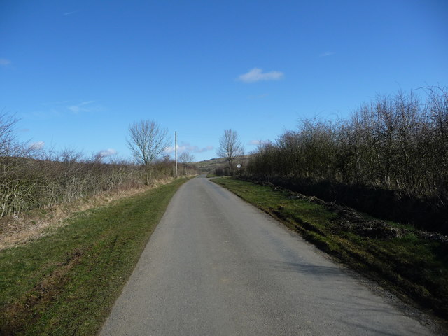
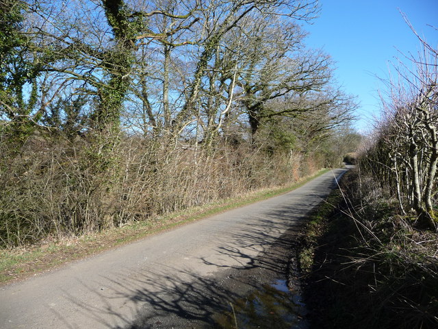
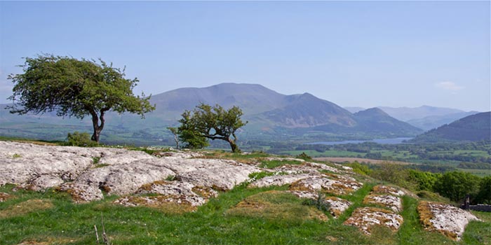
Images are sourced within 2km of 54.696824/-3.2912933 or Grid Reference NY1634. Thanks to Geograph Open Source API. All images are credited.

Trees on Clints Crags Looking east to Binsey.
Trees on Clints Crags
Looking east to Binsey.
Eastern slopes of Clints Crags Binsey is in the distance.
Eastern slopes of Clints Crags
Binsey is in the distance.
Road Junction near Linskeldfield
The lane from Blindcrake to Sunderland Bewsgill Wood
The lane from Blindcrake to Sunderland
Bewsgill Wood
New hedge planted
New hedge planted
Looking toward Park Wood
Ellers Wood Gateway to field by Ellers wood
Ellers Wood
Gateway to field by Ellers wood
Direction Sign - Signpost south of Isel Bridge, Setmurthy Located on the south side of the junction south of Isel Bridge in Setmurthy parish. 3 arms and pawn finial.

Milestone Society National ID: CU_NY1632
Direction Sign - Signpost south of Isel Bridge, Setmurthy
Located on the south side of the junction south of Isel Bridge in Setmurthy parish. 3 arms and pawn finial. Milestone Society National ID: CU_NY1632
Lane near Setmurthy Common Lane running from Cockermouth to Isel, north of Setmurthy Common.
Lane near Setmurthy Common
Lane running from Cockermouth to Isel, north of Setmurthy Common.
The road to Isel Part of national cycle network's route 10.
The road to Isel
Part of national cycle network's route 10.
Sheep grazing, south of Crosshill Moss On the south side of the road to Isel, about 140 metres above sea level.
Sheep grazing, south of Crosshill Moss
On the south side of the road to Isel, about 140 metres above sea level.
Hexagonal water trough, south of Crosshill Moss At a gated track entrance, on the south side of the road to Isel.
Hexagonal water trough, south of Crosshill Moss
At a gated track entrance, on the south side of the road to Isel.
The eastern end of Crosshill Moss On the north side of the road to Isel, east of Cross Hill.
The eastern end of Crosshill Moss
On the north side of the road to Isel, east of Cross Hill.
Crosshill Moss and an outlying tree An area of woodland east of Cross Hill.
Crosshill Moss and an outlying tree
An area of woodland east of Cross Hill.
The road to Sunderland (Allerdale, Cumbria) Heading north near Linskeldfield.
The road to Sunderland (Allerdale, Cumbria)
Heading north near Linskeldfield.
Sheep pasture near Linskeldfield On the west side of the road to Sunderland. About 120 metres above sea level.
Sheep pasture near Linskeldfield
On the west side of the road to Sunderland. About 120 metres above sea level.
Hedge strengthened with wire mesh, near Linskeldfield Otherwise the sheep would get through.
Hedge strengthened with wire mesh, near Linskeldfield
Otherwise the sheep would get through.
The road to Sunderland (Allerdale, Cumbria) The roadside trees are watered by Kiln Beck.
The road to Sunderland (Allerdale, Cumbria)
The roadside trees are watered by Kiln Beck.
Show me another place!

Bewsgill Wood is located at Grid Ref: NY1634 (Lat: 54.696824, Lng: -3.2912933)

Administrative County: Cumbria

District: Allerdale

Police Authority: Cumbria

What 3 Words

///informer.estimate.zealous. Near Cockermouth, Cumbria

Nearby Locations

Park Wood Bewsgill Wood

Related Wikis

Blindcrake

Blindcrake is a village and civil parish within the Isel Valley, in the Lake District National Park, in Cumbria, England, historically part of Cumberland...

Isel, Cumbria

Isel is a dispersed settlement and area in the valley of the River Derwent within the Lake District National Park in Cumbria, England. It is an ecclesiastical...

Clints Crags

Clints Crags is a small fell in the north of the English Lake District near Blindcrake, Cumbria. It has its own chapter in Alfred Wainwright's The Outlying...

St Michael's Church, Isel

St Michael's Church is located by the side of the River Derwent in the dispersed settlement of Isel, in the civil parish of Blindcrake, Cumbria, England...

Nearby Amenities

Located within 500m of 54.696824,-3.2912933
Bewsgill Wood
Natural: wood
Lat/Long: 54.6967411/-3.2977
Ford: yes
Lat/Long: 54.6952813/-3.2855477
Information: guidepost
Tourism: information
Lat/Long: 54.6970456/-3.2841626
The data included in this document is from www.openstreetmap.org. The data is made available under ODbL.

Have you been to Bewsgill Wood?

Leave your review of Bewsgill Wood below (or comments, questions and feedback).