Blackmoor
Settlement in Somerset Somerset West and Taunton
England
Blackmoor
Blackmoor is a small village situated in the county of Somerset, England. It is located approximately 15 miles southwest of the county town, Taunton. With a population of around 500 residents, Blackmoor is a close-knit community that exudes a charming rural atmosphere.
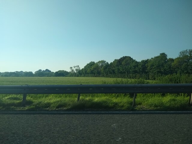
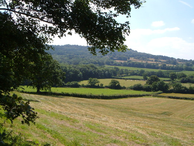
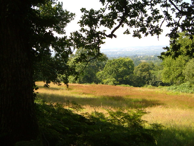
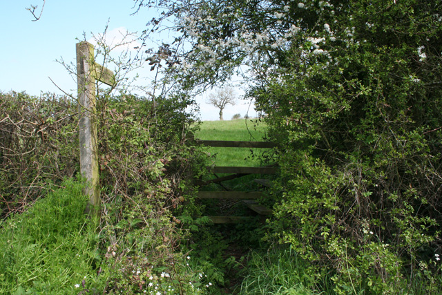
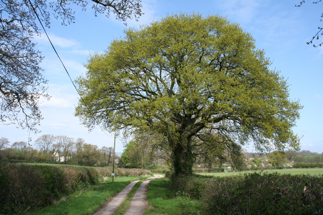
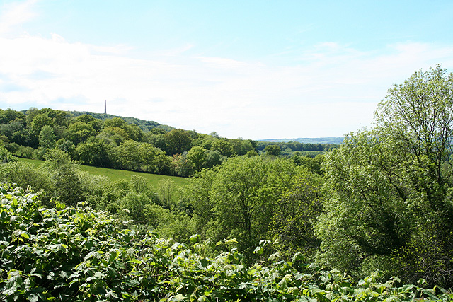
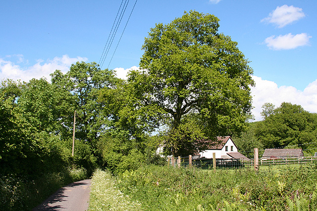
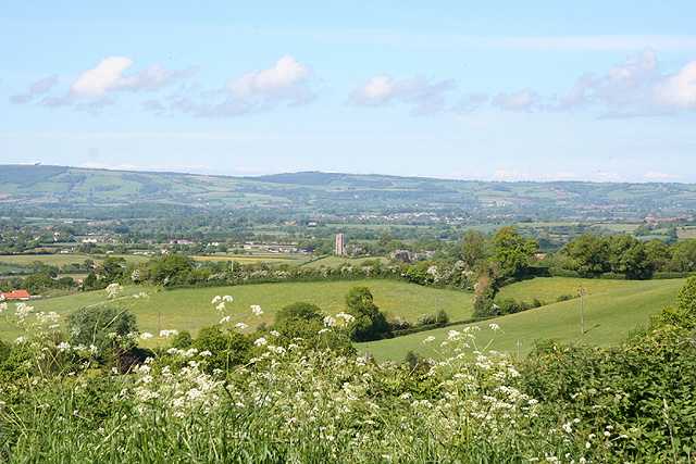
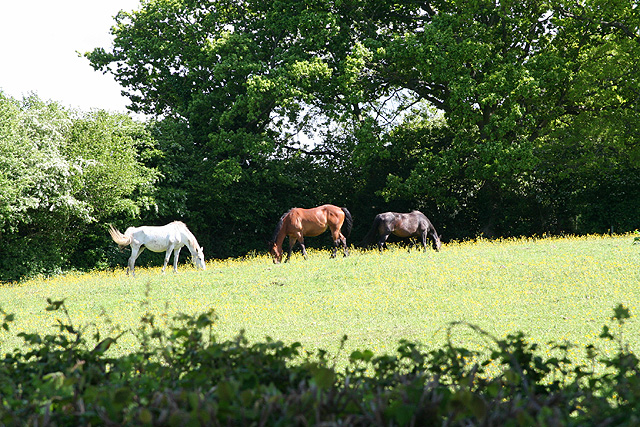
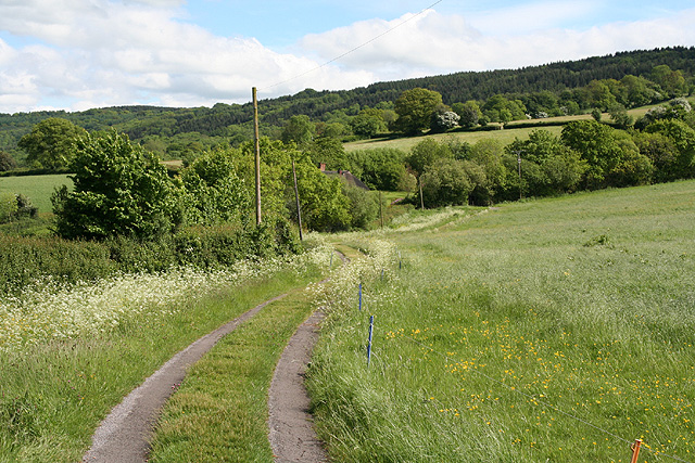
The village is nestled amidst picturesque countryside, surrounded by rolling hills and lush green fields. It boasts a distinctively idyllic setting, making it a popular destination for nature lovers and outdoor enthusiasts. The beautiful Blackmoor River runs through the village, adding to its scenic appeal.
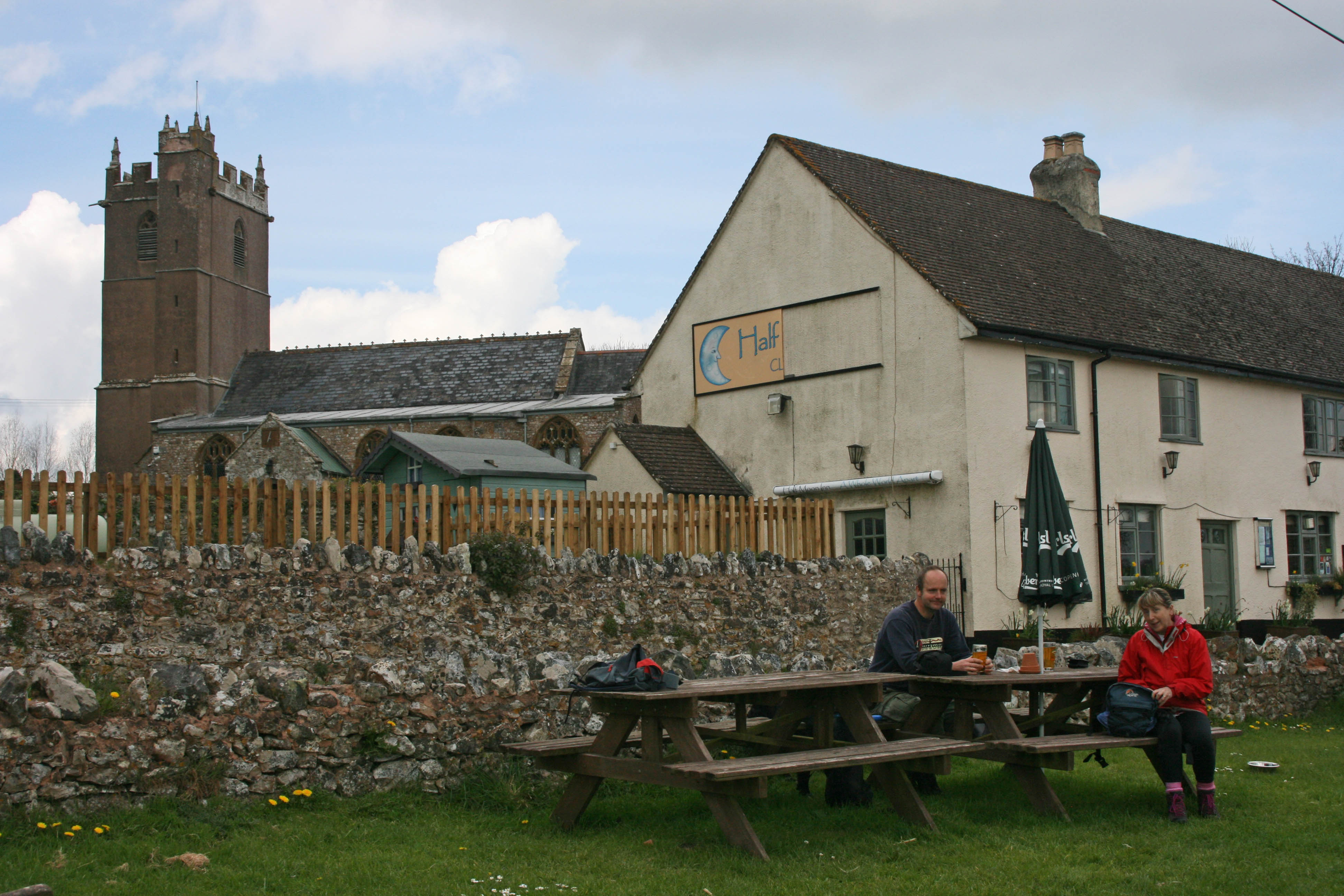
Historically, Blackmoor has retained much of its traditional character, with several charming stone houses and buildings dating back to the 18th and 19th centuries. The village also boasts a quaint parish church, St. Mary's, which stands as a testament to its rich heritage.
Despite its small size, Blackmoor offers a range of amenities to cater to its residents' needs. These include a local pub, a village hall, and a primary school, providing essential services and fostering a strong sense of community spirit.
The surrounding area provides ample opportunities for outdoor activities such as hiking, cycling, and fishing. The nearby Quantock Hills, designated as an Area of Outstanding Natural Beauty, offer stunning panoramic views and a variety of walking trails for all abilities.
In summary, Blackmoor is a charming village in Somerset, characterized by its rural beauty, traditional architecture, and strong community ties. It provides a serene and picturesque setting for residents and visitors alike to enjoy the tranquility of the English countryside.
If you have any feedback on the listing, please let us know in the comments section below.
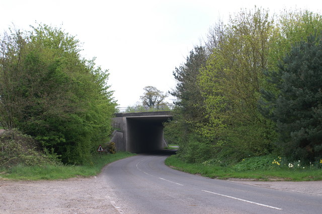
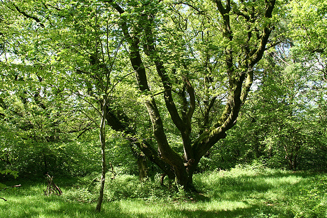
Blackmoor Images
Images are sourced within 2km of 50.9599/-3.188783 or Grid Reference ST1618. Thanks to Geograph Open Source API. All images are credited.


Blackmoor is located at Grid Ref: ST1618 (Lat: 50.9599, Lng: -3.188783)
Administrative County: Somerset
District: Somerset West and Taunton
Police Authority: Avon and Somerset
What 3 Words
///cups.bucked.storeroom. Near Hemyock, Devon
Nearby Locations
Related Wikis
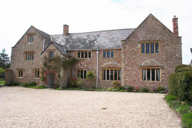
Gerbestone Manor
Gerbestone Manor in West Buckland, Somerset, England was largely rebuilt in the late 16th century, although some fabric from the 13th century house remains...
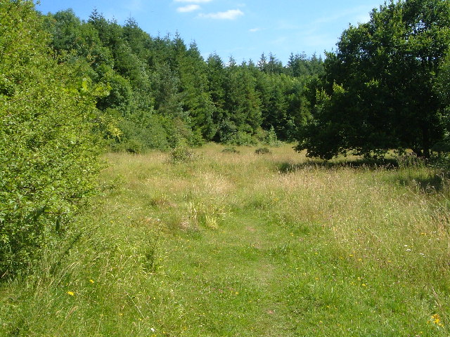
Quants Reserve
Quants Reserve is a nature reserve north west of Burnworthy in Somerset, England. It consists of a grassland clearing in a forestry plantation. It is well...
West Buckland
West Buckland is a village and civil parish in Somerset, England, situated 5 miles (8.0 km) south west of Taunton. The parish has a population of 1,189...
South West England
South West England, or the South West of England, is one of the nine official regions of England in the United Kingdom. It consists of the counties of...

Wellington Rural District, Somerset
Wellington was a rural district in Somerset, England, from 1894 to 1974. It was created in 1894 under the Local Government Act 1894. In 1974 it was abolished...

Wellington Without
Wellington Without is a civil parish in Somerset, England. It lies south of Wellington and has a population of 727. The parish includes the hamlet of Ford...
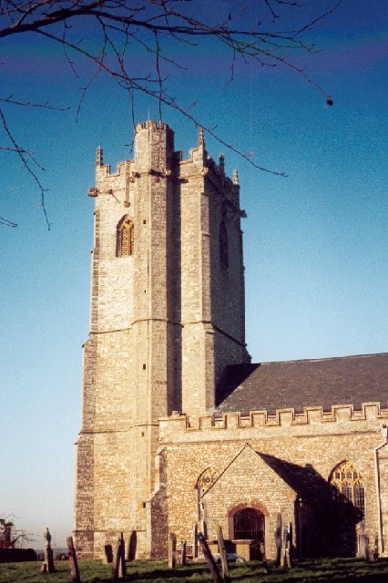
Clayhidon
Clayhidon () is a village and civil parish in Mid Devon, England. The parish church is St. Andrews. The parish is in the Blackdown Hills and its northern...

Wellington, Somerset
Wellington is a market town in rural Somerset, a county in the west of England, situated 7 miles (11 km) south west of Taunton, near the border with Devon...
Nearby Amenities
Located within 500m of 50.9599,-3.188783Have you been to Blackmoor?
Leave your review of Blackmoor below (or comments, questions and feedback).