Cissywell Wood

Wood, Forest in Cumberland Allerdale

England

Cissywell Wood

Noble Temple On Harriston Road, built for the improvement of the inhabitants of Aspatria through lectures and meetings
Noble Temple Credit: Kevin Waterhouse

Cissywell Wood is a picturesque forest located in Cumberland, England. Spread across a vast area, this woodland is known for its abundant flora and fauna, making it a popular destination for nature enthusiasts and hikers alike.

The forest is predominantly composed of deciduous trees such as oak, beech, and birch, which create a stunning display of colors during autumn. The dense canopy provides a cool and shaded environment, perfect for a leisurely stroll on a summer's day. The forest floor is covered in a rich carpet of ferns, moss, and wildflowers, adding to the serene beauty of the surroundings.

Cissywell Wood is home to a diverse range of wildlife, making it a haven for animal lovers. Squirrels, badgers, and foxes can often be spotted scurrying through the undergrowth, while a variety of bird species, including woodpeckers, owls, and songbirds, fill the air with their melodious tunes.

The forest offers a network of well-maintained trails, allowing visitors to explore its hidden treasures. Be it a short walk or a long hike, there are routes available for all levels of fitness and interests. The peaceful atmosphere makes it an ideal place for picnics and family outings, providing a perfect escape from the bustle of city life.

Cissywell Wood is not only a natural paradise but also a valuable conservation area. Efforts are made to preserve its ecological balance, ensuring that future generations can continue to enjoy its beauty and tranquility.

If you have any feedback on the listing, please let us know in the comments section below.

Cissywell Wood Images

Images are sourced within 2km of 54.775826/-3.3035881 or Grid Reference NY1643. Thanks to Geograph Open Source API. All images are credited.

Noble Temple On Harriston Road, built for the improvement of the inhabitants of Aspatria through lectures and meetings
Noble Temple
On Harriston Road, built for the improvement of the inhabitants of Aspatria through lectures and meetings
Railway towards Carlisle View from Lawson Street
Railway towards Carlisle
View from Lawson Street
St Mungo's Park housing On North Road
St Mungo's Park housing
On North Road
Church of St Kentigern
St Kentigern's Church and churchyard on north side of A596
Houses and hair salon on north side of Queen Street
St Kentigern's Church Ordnance Survey documents indicate that a benchmark levelled at 74.976m above Newlyn Datum was verifed in 1970 at the base of the right hand tower buttress. The mark has apparently been lost to raising the footpath to the tower door.
St Kentigern's Church
Ordnance Survey documents indicate that a benchmark levelled at 74.976m above Newlyn Datum was verifed in 1970 at the base of the right hand tower buttress. The mark has apparently been lost to raising the footpath to the tower door.
Tower of St Kentigern's Church with pinnacles The right hand pinnacle with weather vane is an Ordnance Survey intersected station trig point, <span class="nowrap"><a title="https://trigpointing.uk/trig/9003" rel="nofollow ugc noopener" href="https://trigpointing.uk/trig/9003">Link</a><img style="margin-left:2px;" alt="External link" title="External link - shift click to open in new window" src="https://s1.geograph.org.uk/img/external.png" width="10" height="10"/></span>
Tower of St Kentigern's Church with pinnacles
The right hand pinnacle with weather vane is an Ordnance Survey intersected station trig point, LinkExternal link
St Kentigern's Church
Houses at junction of Brayton Road and Brayton Park
Benchmark behind downpipe on #2 Springkell, Park Road face Ordnance Survey cut mark benchmark levelled at 62.242m above Newlyn Datum verified 1971
Benchmark behind downpipe on #2 Springkell, Park Road face
Ordnance Survey cut mark benchmark levelled at 62.242m above Newlyn Datum verified 1971
Springkell houses on northwest side of Park Road There is an Ordnance Survey benchmark <a href="https://www.geograph.org.uk/photo/7649898">NY1542 : Benchmark behind downpipe on #2 Springkell, Park Road face</a>  behind the downpipe on the near corner of the left hand house
Springkell houses on northwest side of Park Road
There is an Ordnance Survey benchmark NY1542 : Benchmark behind downpipe on #2 Springkell, Park Road face behind the downpipe on the near corner of the left hand house
Benchmark on gateway gatepost on east side B5301 north of Aspatria Ordnance Survey cut mark benchmark levelled at 69.532m above Newlyn Datum verified 1971
Benchmark on gateway gatepost on east side B5301 north of Aspatria
Ordnance Survey cut mark benchmark levelled at 69.532m above Newlyn Datum verified 1971
Gateway to field on south side of Greenhill on east side of B5301 There is an Ordnance Survey benchmark <a href="https://www.geograph.org.uk/photo/7651136">NY1442 : Benchmark on gateway gatepost on east side B5301 north of Aspatria</a> at the base of the stone gatepost
Gateway to field on south side of Greenhill on east side of B5301
There is an Ordnance Survey benchmark NY1442 : Benchmark on gateway gatepost on east side B5301 north of Aspatria at the base of the stone gatepost
Tractor with trailer adding to manure heap
Field gateway on south side of farmland access track at B5301 junction
Junction of farmland access track/footpath with B5301 Ordnance Survey documents indicate that a benchmark levelled at 62.286m above Newlyn Datum was verified in 1971 on a gatepost at the junction corner
Junction of farmland access track/footpath with B5301
Ordnance Survey documents indicate that a benchmark levelled at 62.286m above Newlyn Datum was verified in 1971 on a gatepost at the junction corner
Stone gatepost beside footpath around school playing field Ordnance Survey records indicate that a pivot benchmark levelled at 66.547m above Newlyn Datum was verified in 1971 on a stone gatepost on the opposite side of the path to the remaining gatepost
Stone gatepost beside footpath around school playing field
Ordnance Survey records indicate that a pivot benchmark levelled at 66.547m above Newlyn Datum was verified in 1971 on a stone gatepost on the opposite side of the path to the remaining gatepost
Show me another place!

Cissywell Wood is located at Grid Ref: NY1643 (Lat: 54.775826, Lng: -3.3035881)

Administrative County: Cumbria

District: Allerdale

Police Authority: Cumbria

What 3 Words

///articulated.tentacles.panting. Near Aspatria, Cumbria

Related Wikis

Brayton Park

Brayton Park is a hamlet in Cumbria, England. It contains a small lake, notable for its fishing. == References ==

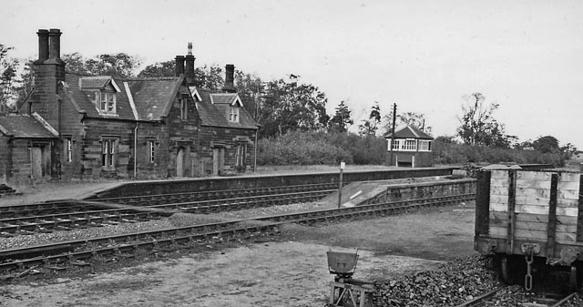
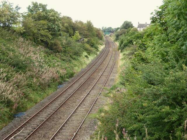
Brayton railway station

Brayton was a railway station which served as the interchange for the Solway Junction Railway (SJR) with the Maryport and Carlisle Railway (M&CR); it also...

Brayton Hall

Brayton Hall is a ruined former mansion in Cumbria, England. Once the ancestral seat of the Lawson family, it stood in a large park, with views of the...
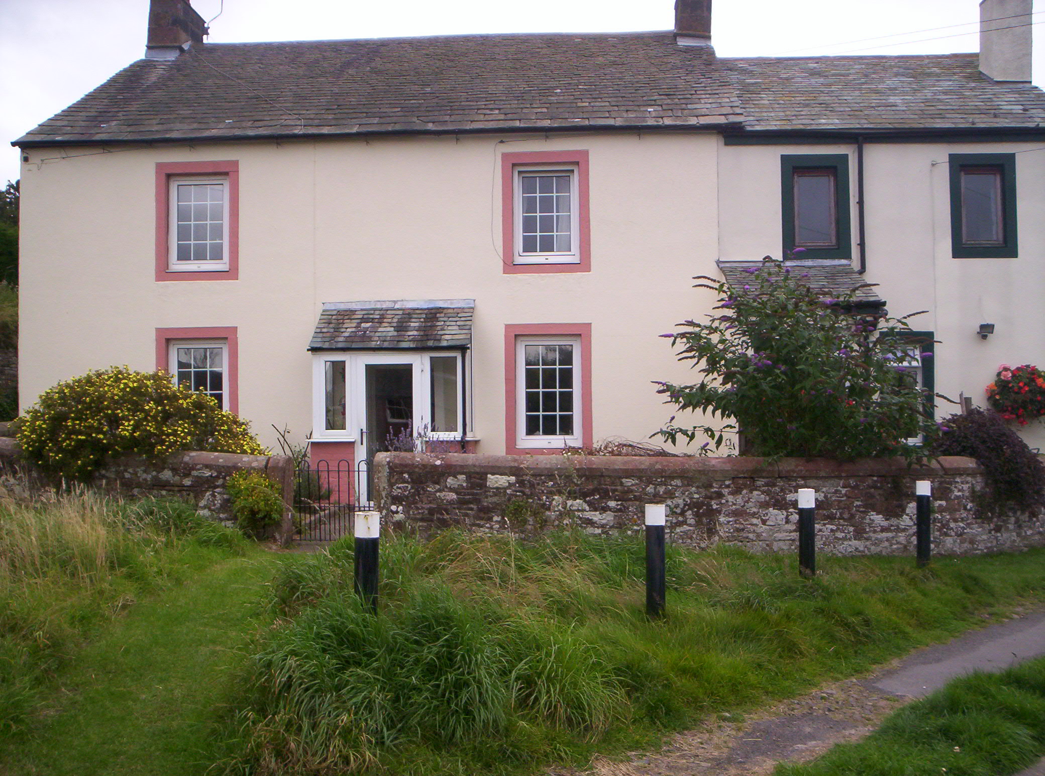
Harriston, Cumbria

Harriston is a small hamlet in Cumbria, England, consisting of approximately 100 houses. == Construction == When, in 1868, the trustees of the infant Joseph...

Baggrow railway station

Baggrow railway station was in the former county of Cumberland, now Cumbria, England. It was a stop on the Bolton Loop (sometimes referred to as the "Mealsgate...

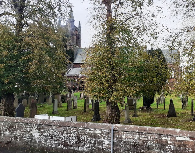
St. Kentigern's Church, Aspatria

St Kentigern's Church stands in the village of Aspatria, Cumbria, England. It is an active Anglican parish church in the rural deanery of Maryport, the...

Aspatria

Aspatria is a town and civil parish in Cumberland, Cumbria, England. The town rests on the north side of the Ellen Valley, overlooking a panoramic view...

Beacon Hill Community School

Beacon Hill Community School is a coeducational secondary school located in Aspatria is the English county of Cumbria.It is a community school administered...

Nearby Amenities

Located within 500m of 54.775826,-3.3035881
Tinley Mount
Place: locality
Lat/Long: 54.7740294/-3.2994098
Brayton Park
Place: locality
Wikidata: Q4958574
Lat/Long: 54.7727648/-3.3034369
Power: pole
Lat/Long: 54.7758936/-3.3102181
Power: pole
Lat/Long: 54.7763255/-3.308603
Power: pole
Lat/Long: 54.7771682/-3.3069314
Power: pole
Lat/Long: 54.7783839/-3.304372
Power: pole
Lat/Long: 54.7790575/-3.3030152
Power: pole
Lat/Long: 54.7797761/-3.3015173
The data included in this document is from www.openstreetmap.org. The data is made available under ODbL.

Have you been to Cissywell Wood?

Leave your review of Cissywell Wood below (or comments, questions and feedback).