Beck Wood
Wood, Forest in Cumberland Copeland
England
Beck Wood
Beck Wood, located in Cumberland, is a picturesque woodland area renowned for its natural beauty and diverse ecosystem. Covering an area of approximately 500 acres, this enchanting forest is a haven for nature enthusiasts and offers a tranquil escape from the bustling city life.
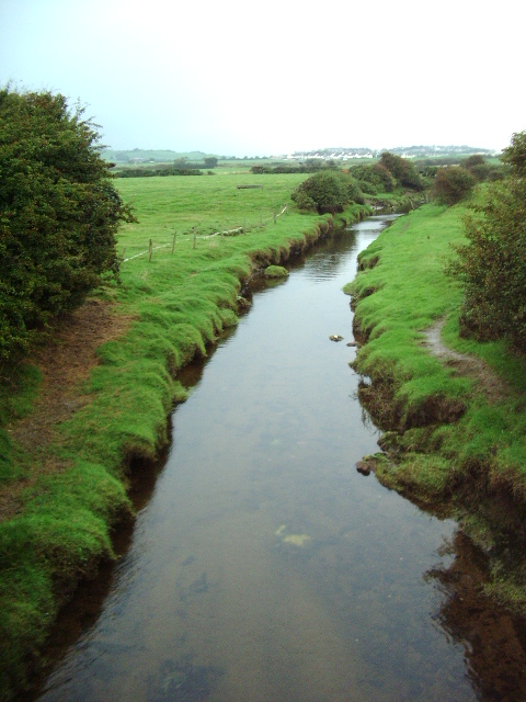
The woodland is characterized by its dense canopy of trees, predominantly consisting of oak, beech, and birch, which provide a vibrant display of colors throughout the year. A meandering beck, or stream, runs through the heart of the wood, giving it its name and adding to its charm. The beck is home to a variety of aquatic life, including small fish and amphibians.
Wildlife thrives in Beck Wood, with an abundance of species calling it home. The forest provides shelter and sustenance for a diverse range of animals, including deer, foxes, badgers, and numerous bird species. Birdwatchers flock to the area to spot rare and migratory birds, such as woodpeckers, owls, and warblers.
The wood is crisscrossed by a network of well-maintained footpaths, allowing visitors to explore its hidden treasures. These paths lead to secluded clearings, where one can enjoy a picnic or simply sit and absorb the peaceful surroundings. The wood also boasts a small visitor center, providing educational resources and information about the local flora and fauna.
Beck Wood offers a range of recreational activities, including hiking, birdwatching, photography, and nature trails. The changing seasons bring different delights, from bluebells carpeting the forest floor in spring to the vibrant foliage of autumn. It is a true gem in the heart of Cumberland and a must-visit destination for nature lovers seeking solace in the beauty of the great outdoors.
If you have any feedback on the listing, please let us know in the comments section below.
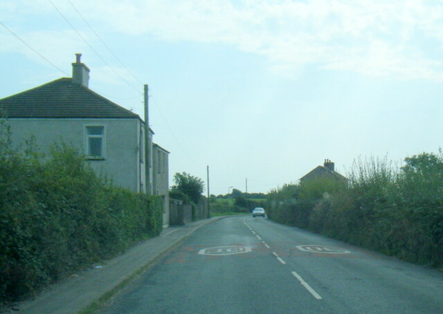
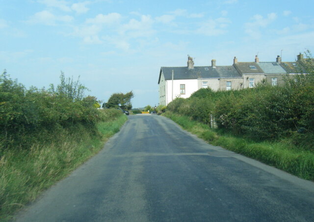
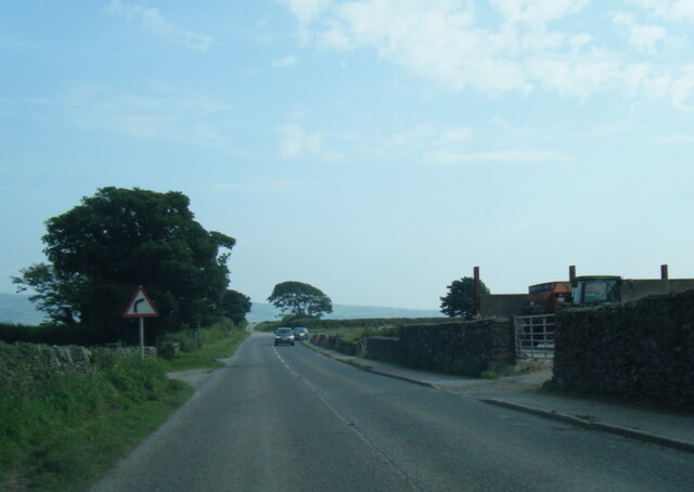
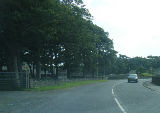
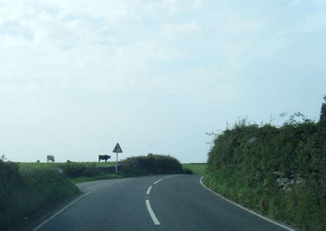
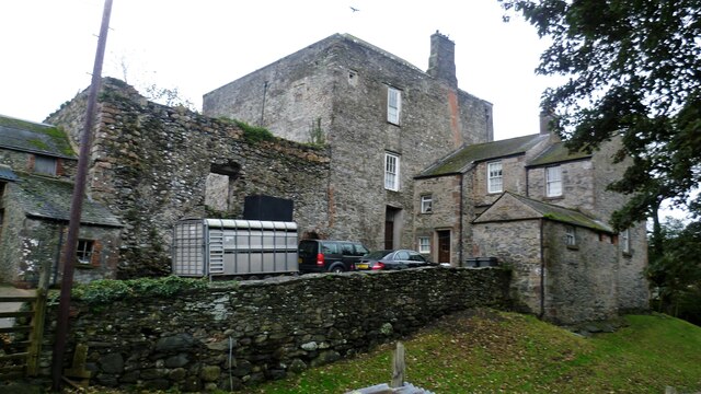
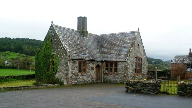
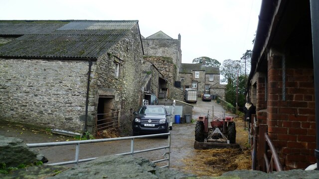
Beck Wood Images
Images are sourced within 2km of 54.218737/-3.2900228 or Grid Reference SD1581. Thanks to Geograph Open Source API. All images are credited.


Beck Wood is located at Grid Ref: SD1581 (Lat: 54.218737, Lng: -3.2900228)
Administrative County: Cumbria
District: Copeland
Police Authority: Cumbria
What 3 Words
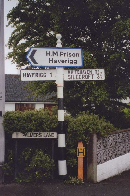
///punters.springing.bombshell. Near Millom, Cumbria
Nearby Locations
Related Wikis

Holborn Hill
Holborn Hill is a street and a ward in the town of Millom, in Cumbria, England. Historically it was a village in the administrative county of Cumberland...

Holy Trinity Church, Millom
Holy Trinity Church is a medieval building situated next to Millom Castle near the town of Millom, Cumbria, England. It is an active Anglican parish church...
Millom Castle
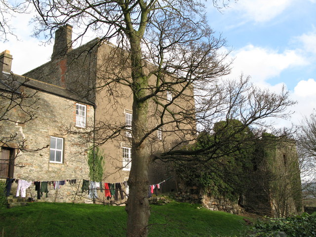
Millom Castle is an ancient building at Millom in Cumbria. It is a Grade I listed building and scheduled ancient monument. == History == A manor on the...

St George's Road, Millom
St George's Road is a cricket ground located off St George's Road in Millom, Cumberland. The ground is bordered to the south–east by the Cumbrian Coast...

Millom Discovery Centre
Millom Heritage and Arts Centre, formerly known as the Millom Folk Museum and Millom Discovery Centre, is located in Millom, Cumbria, England. The museum...
Millom School
Millom School is a coeducational secondary school and sixth form located in Millom in the English county of Cumbria. == The school today == It is a comprehensive...

Millom railway station
Millom is a railway station on the Cumbrian Coast Line, which runs between Carlisle and Barrow-in-Furness. The station, situated 16 miles (26 km) north...

St George's Church, Millom
St George's Church is in the town of Millom, Cumbria, England. It is an active Anglican parish church in the deanery of Furness, the archdeaconry of Westmoreland...
Nearby Amenities
Located within 500m of 54.218737,-3.2900228Have you been to Beck Wood?
Leave your review of Beck Wood below (or comments, questions and feedback).