Lowscales Hill

Hill, Mountain in Cumberland Copeland

England

Lowscales Hill

A5093 near Hestham Hall Farm
A5093 near Hestham Hall Farm Credit: Colin Pyle

Lowscales Hill, located in Cumberland, England, is a prominent hill and part of the Lake District National Park. Standing at an elevation of approximately 486 meters (1,594 feet), it is categorized as a hill but is often referred to as a small mountain due to its impressive size and commanding presence in the surrounding landscape.

Situated in the western part of the Lake District, Lowscales Hill offers breathtaking panoramic views of the picturesque countryside. Its location provides visitors with an opportunity to admire the scenic beauty of the region, including the nearby Ennerdale Water, which is one of the most pristine lakes in the Lake District.

The hill is accessible via a variety of routes, with several footpaths leading to its summit. These paths cater to both novice and experienced hikers, making Lowscales Hill a popular destination for outdoor enthusiasts. The ascent provides a moderate challenge, rewarding climbers with stunning vistas along the way.

The hill is known for its diverse flora and fauna, with heather-covered slopes and woodlands offering a habitat for various species of birds, mammals, and insects. It is not uncommon to spot red squirrels, deer, and a variety of bird species, including buzzards and ravens, while exploring the area.

Lowscales Hill is a cherished natural landmark that offers visitors an opportunity to immerse themselves in the tranquility of the Lake District. Whether one seeks a challenging hike or simply a peaceful escape, this hill provides an unforgettable experience for nature lovers and outdoor adventurers alike.

If you have any feedback on the listing, please let us know in the comments section below.

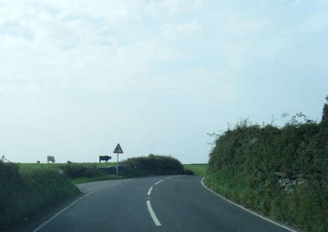
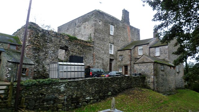
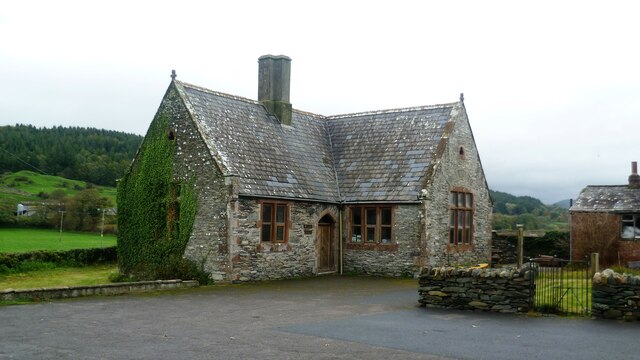
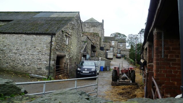
Lowscales Hill Images

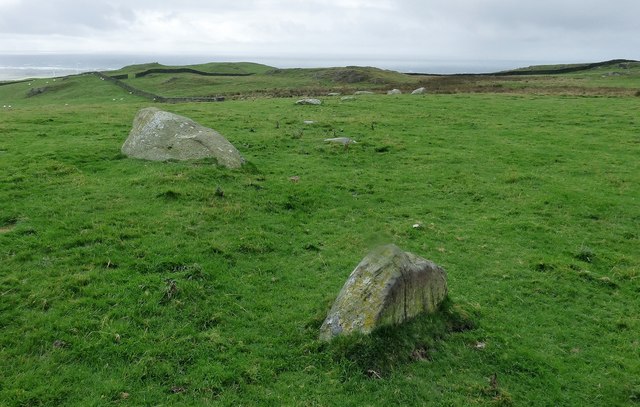
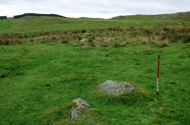
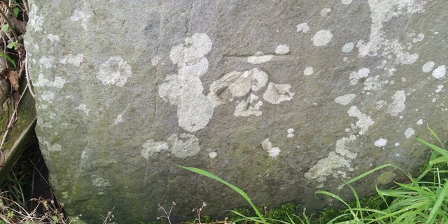
Images are sourced within 2km of 54.22583/-3.2998926 or Grid Reference SD1581. Thanks to Geograph Open Source API. All images are credited.

A5093 near Hestham Hall Farm
Kirksanton level crossing
A5093 north of Hellpool Bridge
The track to Giant's Grave Giant's Grave is two large standing stones
The track to Giant's Grave
Giant's Grave is two large standing stones
Giant's Grave With the hill Seaness (part of Black Combe) in the distance
Giant's Grave
With the hill Seaness (part of Black Combe) in the distance
Millom Castle The great tower and the farmhouse wing
Millom Castle
The great tower and the farmhouse wing
Church Hall Close to Holy Trinity Church and Millom Castle
Church Hall
Close to Holy Trinity Church and Millom Castle
Castle Farm Based around Millom Castle remains
Castle Farm
Based around Millom Castle remains
Old Kirk A low stoney bank is all that is left of the early Medieval church that once stood upon this hillside above the village of Kirksanton.
Old Kirk
A low stoney bank is all that is left of the early Medieval church that once stood upon this hillside above the village of Kirksanton.
Lacra, NE stone row Two lines of stones leading towards a stone circle represent the remains of a prehistoric stone row.
<span class="nowrap"><a title="https://stonerows.wordpress.com/gazetteer/region/rest-of-england/lacra-north-east/" rel="nofollow ugc noopener" href="https://stonerows.wordpress.com/gazetteer/region/rest-of-england/lacra-north-east/">Link</a><img style="margin-left:2px;" alt="External link" title="External link - shift click to open in new window" src="https://s1.geograph.org.uk/img/external.png" width="10" height="10"/></span>
Lacra, NE stone row
Two lines of stones leading towards a stone circle represent the remains of a prehistoric stone row. LinkExternal link
Lacra, SW stone row A prehistoric stone row composed of two lines of stones.
<span class="nowrap"><a title="https://stonerows.wordpress.com/gazetteer/region/rest-of-england/lacra-south-east/" rel="nofollow ugc noopener" href="https://stonerows.wordpress.com/gazetteer/region/rest-of-england/lacra-south-east/">Link</a><img style="margin-left:2px;" alt="External link" title="External link - shift click to open in new window" src="https://s1.geograph.org.uk/img/external.png" width="10" height="10"/></span>
Lacra, SW stone row
A prehistoric stone row composed of two lines of stones. LinkExternal link
Ordnance Survey Flush Bracket (G3082) This OS Flush Bracket can be found on the roadside barn at Castle Farm. It marks a point 11.488m above mean sea level.
Ordnance Survey Flush Bracket (G3082)
This OS Flush Bracket can be found on the roadside barn at Castle Farm. It marks a point 11.488m above mean sea level.
Ordnance Survey Cut Mark This OS cut mark can be found on the east face of Holy Trinity Church. It marks a point 11.119m above mean sea level.
Ordnance Survey Cut Mark
This OS cut mark can be found on the east face of Holy Trinity Church. It marks a point 11.119m above mean sea level.
Ordnance Survey Cut Mark This OS cut mark can be found on the barn at the road junction. It marks a point 13.0942m above mean sea level.
Ordnance Survey Cut Mark
This OS cut mark can be found on the barn at the road junction. It marks a point 13.0942m above mean sea level.
Ordnance Survey Rivet This OS rivet can be found on the roadside barn at Longthwaite Farm. It marks a point 11.393m above mean sea level.
Ordnance Survey Rivet
This OS rivet can be found on the roadside barn at Longthwaite Farm. It marks a point 11.393m above mean sea level.
Ordnance Survey Cut Mark This OS cut mark can be found on a gatepost SE side of the road. It marks a point 45.528m above mean sea level.
Ordnance Survey Cut Mark
This OS cut mark can be found on a gatepost SE side of the road. It marks a point 45.528m above mean sea level.
Ordnance Survey Cut Mark This OS cut mark can be found on a gatepost NW side of the road. It marks a point 48.853m above mean sea level.
Ordnance Survey Cut Mark
This OS cut mark can be found on a gatepost NW side of the road. It marks a point 48.853m above mean sea level.
Ordnance Survey Cut Mark This OS cut mark can be found on a gatepost SW side of the road. It marks a point 54.160m above mean sea level.
Ordnance Survey Cut Mark
This OS cut mark can be found on a gatepost SW side of the road. It marks a point 54.160m above mean sea level.
Show me another place!

Lowscales Hill is located at Grid Ref: SD1581 (Lat: 54.22583, Lng: -3.2998926)

Administrative County: Cumbria

District: Copeland

Police Authority: Cumbria

What 3 Words

///riders.palace.corrode. Near Millom, Cumbria

Nearby Locations

Lowscales Hill Beck Wood

Related Wikis

Kirksanton

Kirksanton is a village on the A5093 road, in the Copeland district, in the county of Cumbria, England. Nearby settlements include the town of Millom,...

Holy Trinity Church, Millom

Holy Trinity Church is a medieval building situated next to Millom Castle near the town of Millom, Cumbria, England. It is an active Anglican parish church...
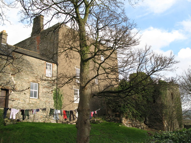
Millom Castle

Millom Castle is an ancient building at Millom in Cumbria. It is a Grade I listed building and scheduled ancient monument. == History == A manor on the...

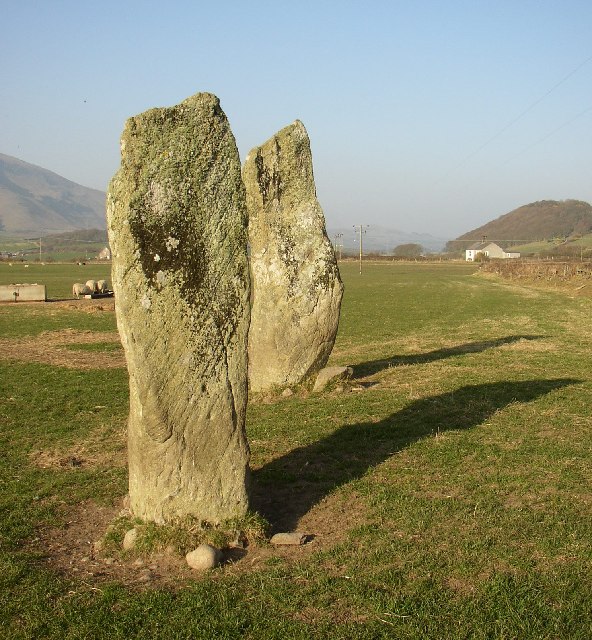
Giant's Grave, Cumbria

Giant's Grave (grid reference SD135810) are two standing stones at the foot of Black Combe in Cumbria, England. The smaller stone has three cup and ring...

Nearby Amenities

Located within 500m of 54.22583,-3.2998926
Power: pole
Lat/Long: 54.2236832/-3.2934363
Power: pole
Lat/Long: 54.2245176/-3.2925699
The data included in this document is from www.openstreetmap.org. The data is made available under ODbL.

Have you been to Lowscales Hill?

Leave your review of Lowscales Hill below (or comments, questions and feedback).