Wellington Woods

Wood, Forest in Cumberland Allerdale

England

Wellington Woods

Noble Temple On Harriston Road, built for the improvement of the inhabitants of Aspatria through lectures and meetings
Noble Temple Credit: Kevin Waterhouse

Wellington Woods is a dense forest located in Cumberland, a town in the state of Maine. Spanning over a vast area, this woodland is a natural paradise for nature enthusiasts and outdoor adventurers alike. The forest is characterized by its towering trees, predominantly composed of various species of hardwood such as oak, maple, and birch.

The thick foliage of Wellington Woods creates a serene and secluded environment, providing a haven for a diverse array of wildlife. It is not uncommon to spot deer, foxes, squirrels, and a variety of bird species, including woodpeckers and owls, among the trees. The forest floor is covered in a rich layer of moss, ferns, and wildflowers, adding to the picturesque beauty of the woods.

Trails wind their way through Wellington Woods, allowing visitors to explore the forest and immerse themselves in its natural wonders. These trails cater to different levels of difficulty, accommodating both casual strollers and experienced hikers. Along the pathways, hikers may encounter babbling brooks, small waterfalls, and enchanting clearings that offer breathtaking views of the surrounding landscape.

Wellington Woods is not only a recreational area but also serves as an important ecological resource. The forest plays a significant role in maintaining the local ecosystem, regulating the water cycle, and providing a habitat for numerous plant and animal species.

Overall, Wellington Woods in Cumberland is a hidden gem, offering visitors a chance to connect with nature, unwind from the hustle and bustle of daily life, and appreciate the beauty of Maine's natural landscapes.

If you have any feedback on the listing, please let us know in the comments section below.

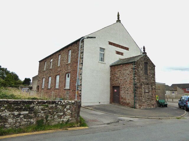
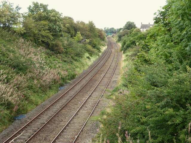
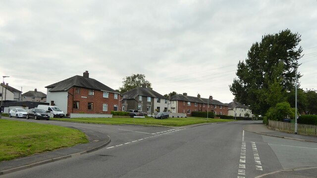
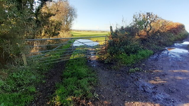
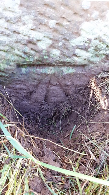
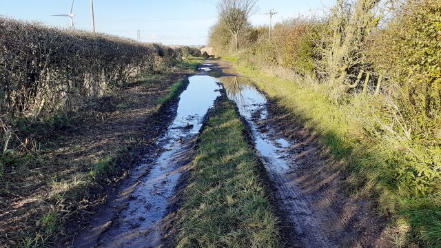
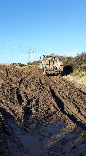
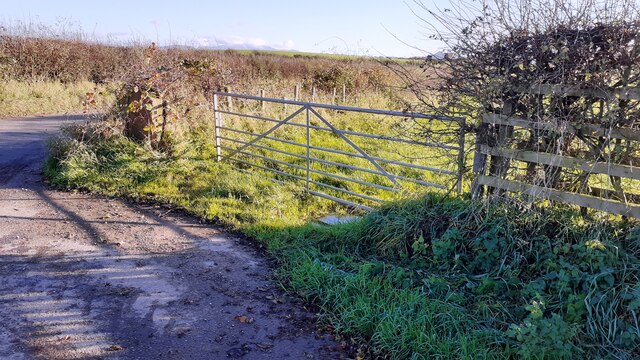
Wellington Woods Images

Images are sourced within 2km of 54.774962/-3.3078512 or Grid Reference NY1543. Thanks to Geograph Open Source API. All images are credited.

Noble Temple On Harriston Road, built for the improvement of the inhabitants of Aspatria through lectures and meetings
Noble Temple
On Harriston Road, built for the improvement of the inhabitants of Aspatria through lectures and meetings
Railway towards Carlisle View from Lawson Street
Railway towards Carlisle
View from Lawson Street
St Mungo's Park housing On North Road
St Mungo's Park housing
On North Road
Church of St Kentigern
St Kentigern's Church and churchyard on north side of A596
Houses and hair salon on north side of Queen Street
St Kentigern's Church Ordnance Survey documents indicate that a benchmark levelled at 74.976m above Newlyn Datum was verifed in 1970 at the base of the right hand tower buttress. The mark has apparently been lost to raising the footpath to the tower door.
St Kentigern's Church
Ordnance Survey documents indicate that a benchmark levelled at 74.976m above Newlyn Datum was verifed in 1970 at the base of the right hand tower buttress. The mark has apparently been lost to raising the footpath to the tower door.
Tower of St Kentigern's Church with pinnacles The right hand pinnacle with weather vane is an Ordnance Survey intersected station trig point, <span class="nowrap"><a title="https://trigpointing.uk/trig/9003" rel="nofollow ugc noopener" href="https://trigpointing.uk/trig/9003">Link</a><img style="margin-left:2px;" alt="External link" title="External link - shift click to open in new window" src="https://s1.geograph.org.uk/img/external.png" width="10" height="10"/></span>
Tower of St Kentigern's Church with pinnacles
The right hand pinnacle with weather vane is an Ordnance Survey intersected station trig point, LinkExternal link
St Kentigern's Church
Houses at junction of Brayton Road and Brayton Park
Benchmark behind downpipe on #2 Springkell, Park Road face Ordnance Survey cut mark benchmark levelled at 62.242m above Newlyn Datum verified 1971
Benchmark behind downpipe on #2 Springkell, Park Road face
Ordnance Survey cut mark benchmark levelled at 62.242m above Newlyn Datum verified 1971
Springkell houses on northwest side of Park Road There is an Ordnance Survey benchmark <a href="https://www.geograph.org.uk/photo/7649898">NY1542 : Benchmark behind downpipe on #2 Springkell, Park Road face</a>  behind the downpipe on the near corner of the left hand house
Springkell houses on northwest side of Park Road
There is an Ordnance Survey benchmark NY1542 : Benchmark behind downpipe on #2 Springkell, Park Road face behind the downpipe on the near corner of the left hand house
Footpath west from west end of Whinbarrow Lane at track junction
Benchmark on gateway gatepost on east side B5301 north of Aspatria Ordnance Survey cut mark benchmark levelled at 69.532m above Newlyn Datum verified 1971
Benchmark on gateway gatepost on east side B5301 north of Aspatria
Ordnance Survey cut mark benchmark levelled at 69.532m above Newlyn Datum verified 1971
Gateway to field on south side of Greenhill on east side of B5301 There is an Ordnance Survey benchmark <a href="https://www.geograph.org.uk/photo/7651136">NY1442 : Benchmark on gateway gatepost on east side B5301 north of Aspatria</a> at the base of the stone gatepost
Gateway to field on south side of Greenhill on east side of B5301
There is an Ordnance Survey benchmark NY1442 : Benchmark on gateway gatepost on east side B5301 north of Aspatria at the base of the stone gatepost
Farmland access track/footpath  NW of Aspatria
Farmland access track/footpath NW of Aspatria
Tractor with trailer adding to manure heap
Field gateway on south side of farmland access track at B5301 junction
Show me another place!

Wellington Woods is located at Grid Ref: NY1543 (Lat: 54.774962, Lng: -3.3078512)

Administrative County: Cumbria

District: Allerdale

Police Authority: Cumbria

What 3 Words

///prevents.utter.helper. Near Aspatria, Cumbria

Nearby Locations

Wellington Woods

Related Wikis

Brayton Park

Brayton Park is a hamlet in Cumbria, England. It contains a small lake, notable for its fishing. == References ==

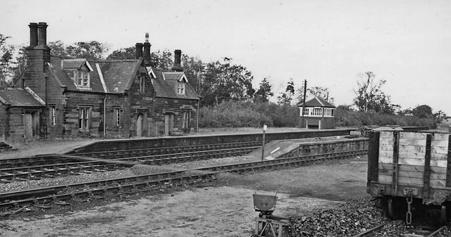
Brayton railway station

Brayton was a railway station which served as the interchange for the Solway Junction Railway (SJR) with the Maryport and Carlisle Railway (M&CR); it also...

Brayton Hall

Brayton Hall is a ruined former mansion in Cumbria, England. Once the ancestral seat of the Lawson family, it stood in a large park, with views of the...

Harriston, Cumbria

Harriston is a small hamlet in Cumbria, England, consisting of approximately 100 houses. == Construction == When, in 1868, the trustees of the infant Joseph...

Nearby Amenities

Located within 500m of 54.774962,-3.3078512
Brayton Park
Place: locality
Wikidata: Q4958574
Lat/Long: 54.7727648/-3.3034369
Power: pole
Lat/Long: 54.7711957/-3.3118147
Power: pole
Lat/Long: 54.7720002/-3.3131987
Power: pole
Lat/Long: 54.7723514/-3.313998
Power: pole
Lat/Long: 54.7746302/-3.3147465
Power: pole
Lat/Long: 54.7750096/-3.3134353
Power: pole
Lat/Long: 54.775399/-3.3120676
Power: pole
Lat/Long: 54.7758936/-3.3102181
Power: pole
Lat/Long: 54.7763255/-3.308603
Power: pole
Lat/Long: 54.7771682/-3.3069314
Power: pole
Lat/Long: 54.7783839/-3.304372
The data included in this document is from www.openstreetmap.org. The data is made available under ODbL.

Have you been to Wellington Woods?

Leave your review of Wellington Woods below (or comments, questions and feedback).