Hanging Copse
Wood, Forest in Devon East Devon
England
Hanging Copse
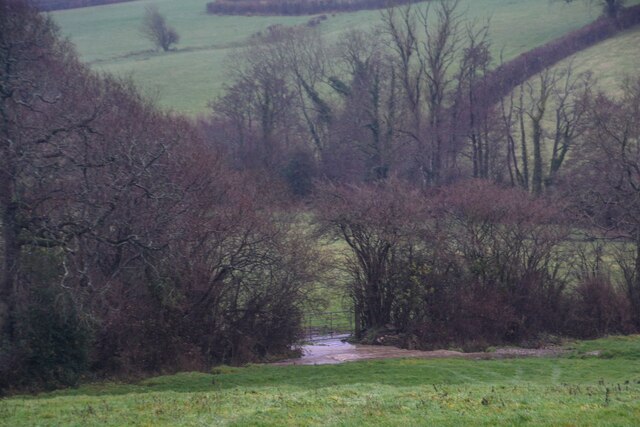
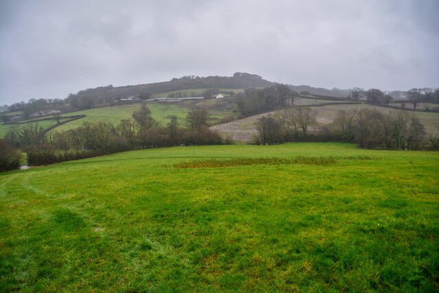
Hanging Copse is a picturesque woodland located in the county of Devon, England. Situated in the heart of the countryside, this enchanting copse spans over an area of approximately 20 acres. The copse is characterized by its dense and diverse collection of trees, including oak, beech, and ash, creating a vibrant and lush forest ecosystem.
The name "Hanging Copse" derives from the copse's location on a gently sloping hillside, where the trees appear to hang over the landscape. The copse is known for its breathtaking natural beauty, offering visitors a serene and tranquil retreat from the hustle and bustle of everyday life.
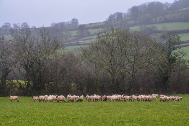
The woodland is home to various flora and fauna, making it a haven for nature enthusiasts and wildlife lovers. The forest floor is adorned with a myriad of wildflowers, adding a splash of color to the verdant landscape. Visitors may catch glimpses of native wildlife such as deer, foxes, and a wide array of bird species, making it a perfect spot for birdwatching.
Hanging Copse also boasts a network of well-maintained trails, providing visitors with the opportunity to explore the woodland at their own pace. These paths lead visitors through the copse's enchanting groves, allowing them to immerse themselves in the natural beauty and serenity of the forest.
Overall, Hanging Copse is a true gem of Devon, offering a peaceful and idyllic setting for nature lovers and outdoor enthusiasts to unwind and reconnect with nature.
If you have any feedback on the listing, please let us know in the comments section below.
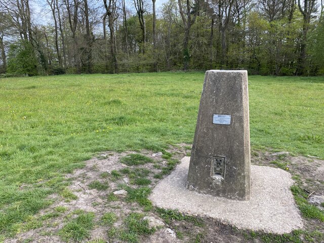
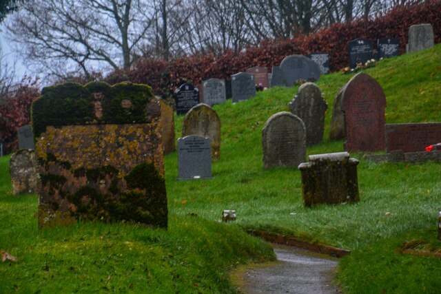
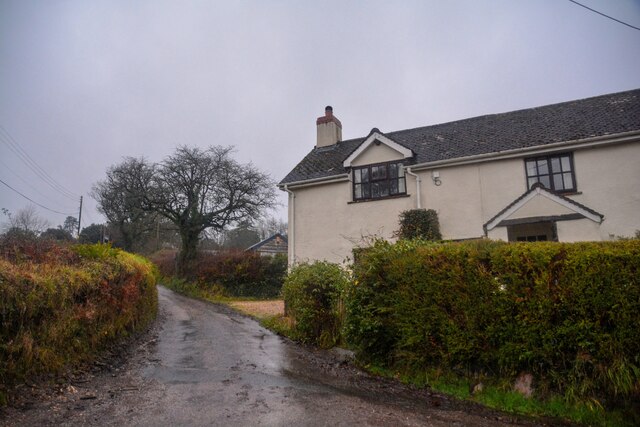
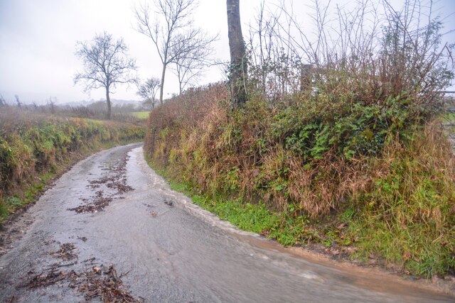
Hanging Copse Images
Images are sourced within 2km of 50.838864/-3.1955589 or Grid Reference ST1505. Thanks to Geograph Open Source API. All images are credited.


Hanging Copse is located at Grid Ref: ST1505 (Lat: 50.838864, Lng: -3.1955589)
Administrative County: Devon
District: East Devon
Police Authority: Devon and Cornwall
What 3 Words
///cobbles.bedspread.driven. Near Dunkeswell, Devon
Nearby Locations
Related Wikis

Luppitt
Luppitt is a village and civil parish in East Devon situated about 6 kilometres (4 mi) due north of Honiton. The historian William Harris was preacher...
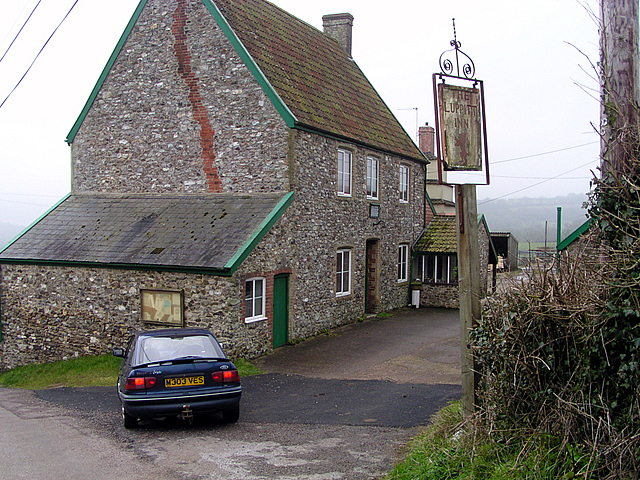
Luppitt Inn
The Luppitt Inn is the only public house at Luppitt, Devon. Located in the front rooms of a farmhouse, the building is constructed from stone, rendered...
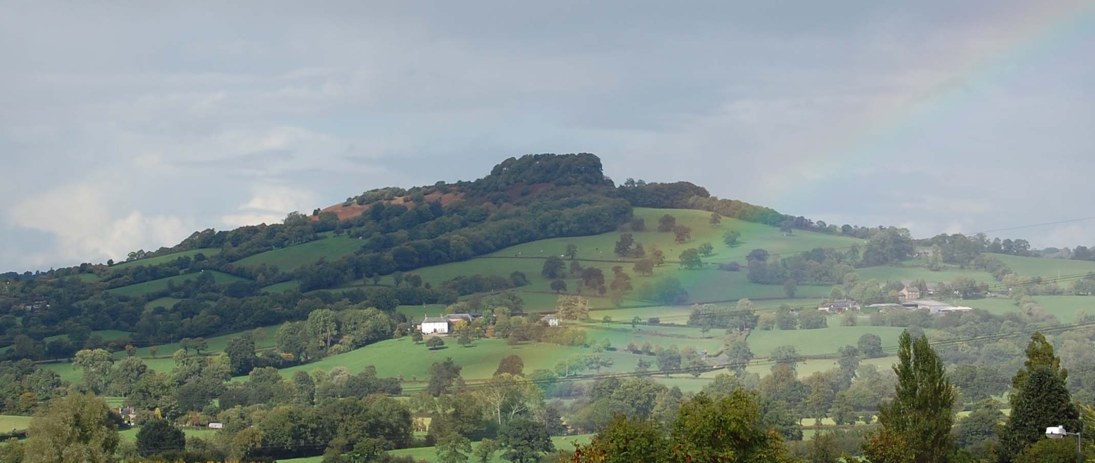
Dumpdon Hill
Dumpdon Hill is an Iron Age Hill Fort near Honiton in Devon. Somewhat overshadowed by its better known neighbour Hembury Fort it is nonetheless as impressive...

Hartridge Hill
Hartridge Hill is an elongated, peat hill situated in the Luppitt catchment area of East Devon, England. Mostly privately owned and primarily used for...
Have you been to Hanging Copse?
Leave your review of Hanging Copse below (or comments, questions and feedback).