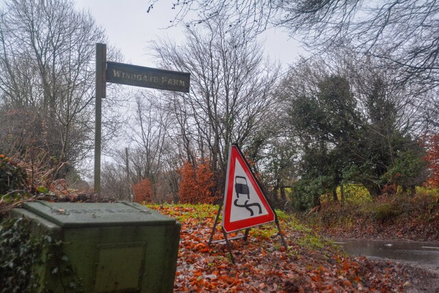
Stockland Copse
Wood, Forest in Devon East Devon
England
Stockland Copse
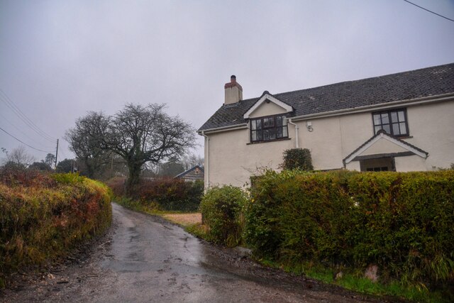
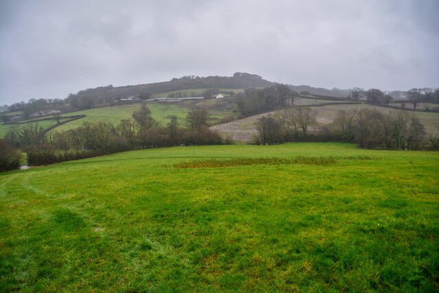
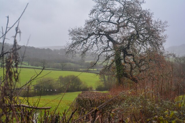
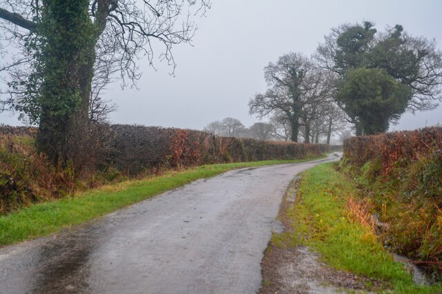
Stockland Copse is a picturesque woodland located in the county of Devon, England. Covering an area of approximately 100 acres, it is a haven for nature enthusiasts, hikers, and wildlife lovers.
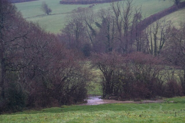
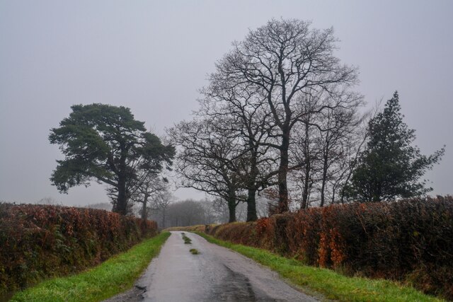
The copse is predominantly composed of native deciduous trees, such as oak, beech, and ash, which create a dense canopy and provide shelter for a diverse range of flora and fauna. The forest floor is adorned with a carpet of bluebells, primroses, and wild garlic during the spring months, adding to the area's natural beauty.
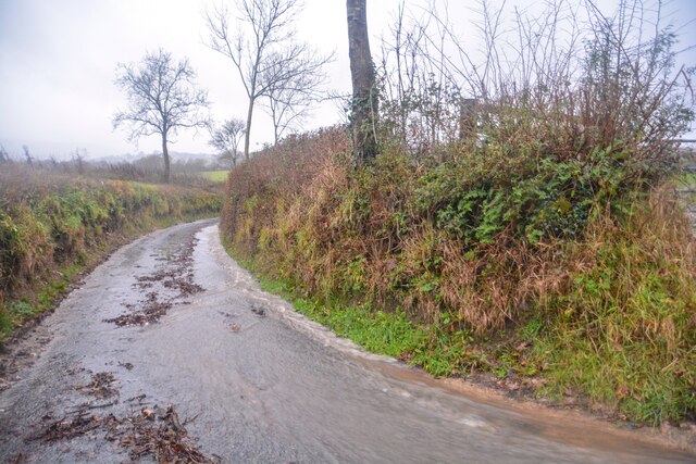
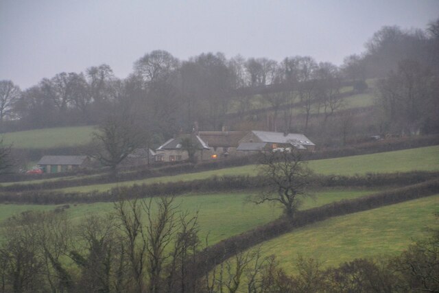
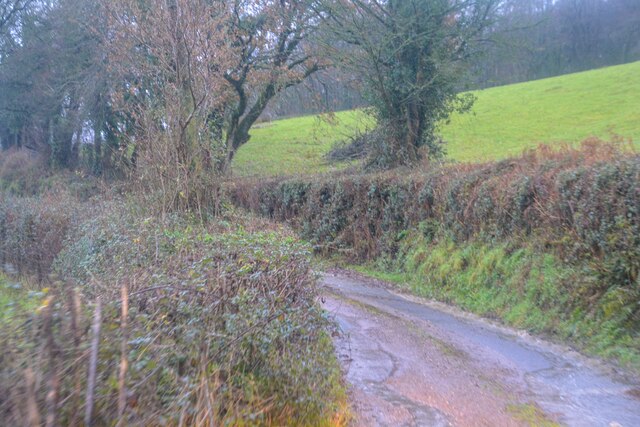
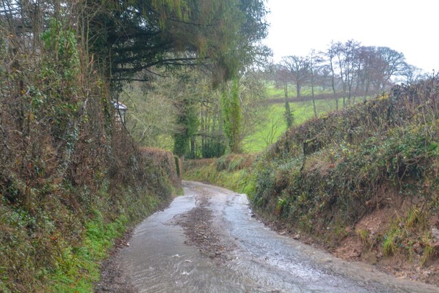
Several well-maintained walking trails wind their way through Stockland Copse, offering visitors the opportunity to explore the woodland at their own pace. These trails vary in difficulty, catering to both casual walkers and more experienced hikers. Along the way, benches and picnic spots are strategically placed, allowing visitors to take in the serene surroundings and enjoy a moment of tranquility.
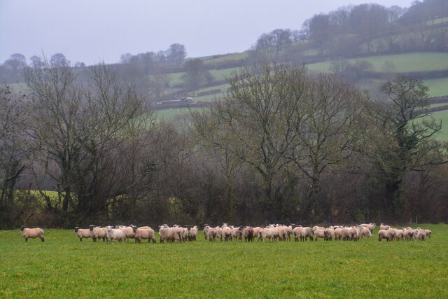
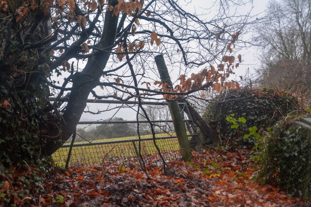
The copse is home to a variety of wildlife species, including deer, foxes, badgers, and a rich array of birdlife. Nature enthusiasts can often spot woodpeckers, owls, and various songbirds as they traverse the woodland trails. Additionally, a small stream meanders through the copse, providing a habitat for aquatic creatures such as frogs and small fish.
Stockland Copse is a popular destination for families, as it offers not only natural beauty but also educational opportunities. Local schools often organize field trips to the woodland, where children can learn about the importance of conservation and the delicate balance of ecosystems.
Overall, Stockland Copse is a remarkable natural gem in Devon, offering visitors a chance to immerse themselves in the tranquility of a thriving woodland environment.
If you have any feedback on the listing, please let us know in the comments section below.
Stockland Copse Images
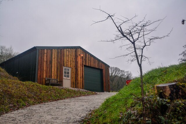
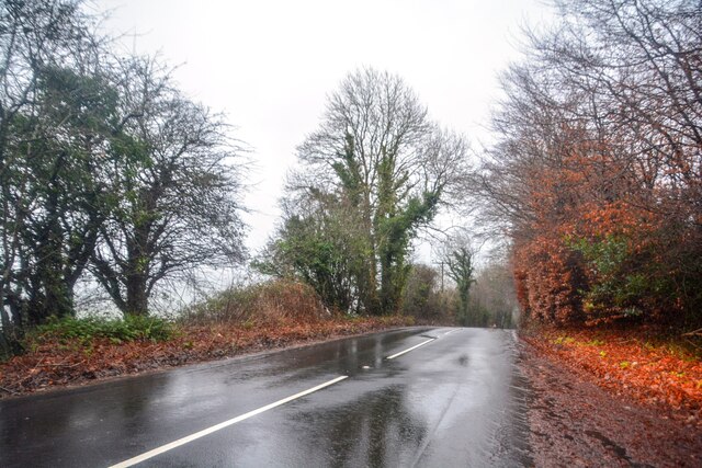
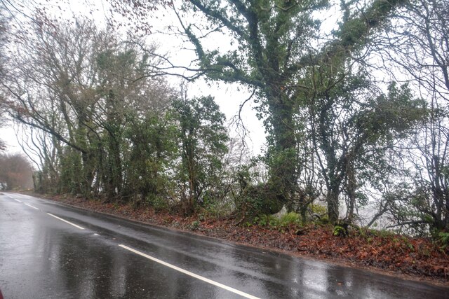
Images are sourced within 2km of 50.83874/-3.2006402 or Grid Reference ST1505. Thanks to Geograph Open Source API. All images are credited.

Stockland Copse is located at Grid Ref: ST1505 (Lat: 50.83874, Lng: -3.2006402)
Administrative County: Devon
District: East Devon
Police Authority: Devon and Cornwall
What 3 Words
///tapers.plunge.crockery. Near Dunkeswell, Devon
Nearby Locations
Related Wikis
Wolford Chapel
Wolford Chapel in Devon, England, is the burial place of John Graves Simcoe, the first lieutenant governor of Upper Canada. It is the territory of the...

Luppitt
Luppitt is a village and civil parish in East Devon situated about 6 kilometres (4 mi) due north of Honiton. The historian William Harris was preacher...
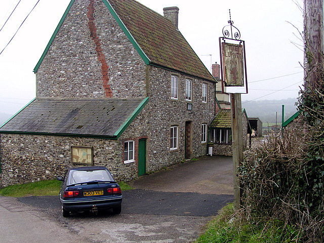
Luppitt Inn
The Luppitt Inn is the only public house at Luppitt, Devon. Located in the front rooms of a farmhouse, the building is constructed from stone, rendered...
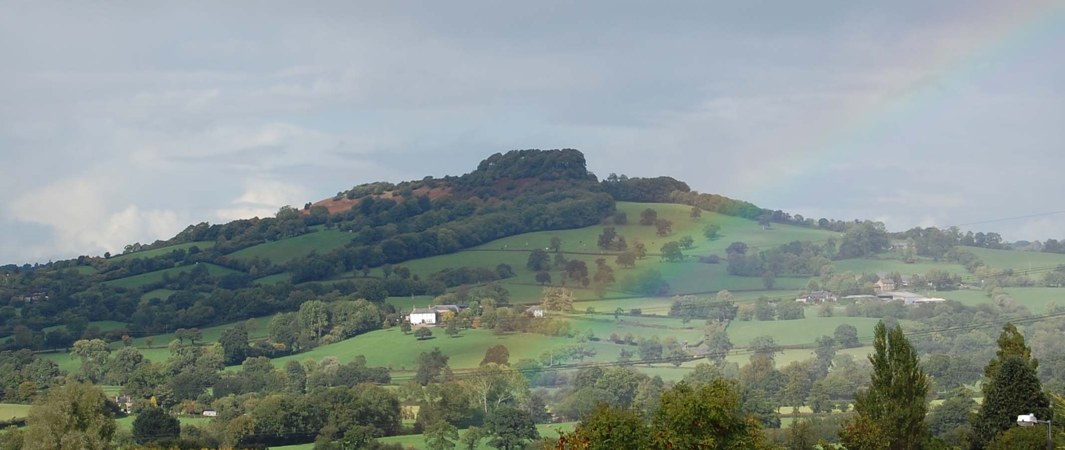
Dumpdon Hill
Dumpdon Hill is an Iron Age Hill Fort near Honiton in Devon. Somewhat overshadowed by its better known neighbour Hembury Fort it is nonetheless as impressive...
Nearby Amenities
Located within 500m of 50.83874,-3.2006402Have you been to Stockland Copse?
Leave your review of Stockland Copse below (or comments, questions and feedback).