Clerklands

Settlement in Roxburghshire

Scotland

Clerklands

A horse reflection at Riddell A large pond formed in this horse field after periods of heavy rain. I walked by here two days previously and there was no lying water in the field.
A horse reflection at Riddell Credit: Walter Baxter

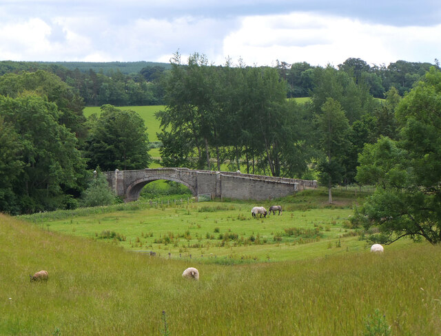
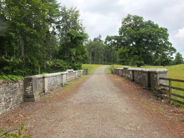
Clerklands is a small rural village located in the historical county of Roxburghshire, Scotland. Situated amidst the picturesque Scottish Borders, the village is nestled in a scenic valley surrounded by rolling hills and lush green countryside. With a population of around 200 residents, Clerklands exudes a quaint and tranquil atmosphere.

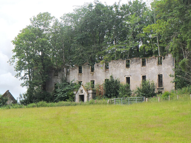
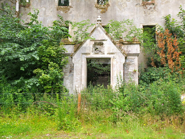
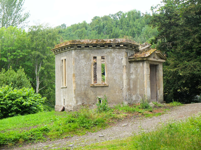
The village is characterized by its charming stone-built cottages and traditional architecture, which adds to its overall charm. The local community takes great pride in maintaining the village's unique character and preserving its historical heritage.

Clerklands is well-connected to the rest of Roxburghshire and neighboring towns by a network of well-maintained roads. The village is located approximately 10 miles south of the bustling town of Hawick, making it easily accessible for residents seeking amenities and services.

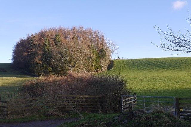
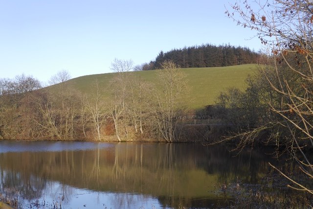
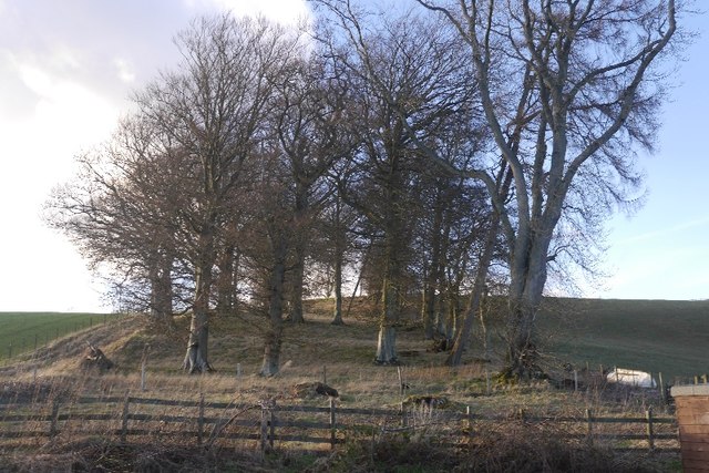
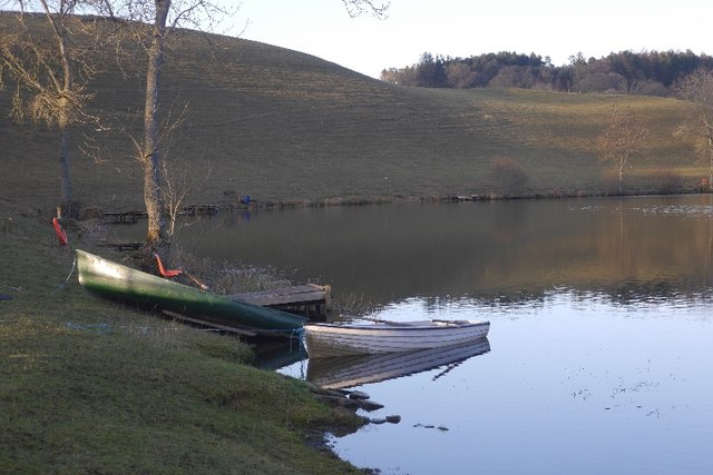
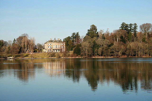
Nature lovers and outdoor enthusiasts will find plenty to explore in and around Clerklands. The surrounding area offers numerous walking trails and scenic routes, allowing visitors to immerse themselves in the breathtaking natural beauty of the Scottish countryside. The nearby Teviot Water River and surrounding forests provide opportunities for fishing, birdwatching, and other outdoor activities.

While Clerklands is primarily a residential area, it benefits from its proximity to Hawick, where residents can find a range of amenities including shops, supermarkets, schools, and healthcare facilities.

Overall, Clerklands offers a peaceful and idyllic setting amidst the natural beauty of Roxburghshire, making it an appealing location for those seeking a tranquil rural lifestyle.

If you have any feedback on the listing, please let us know in the comments section below.
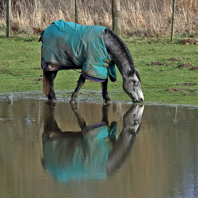
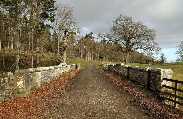
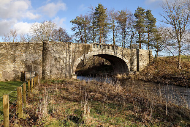
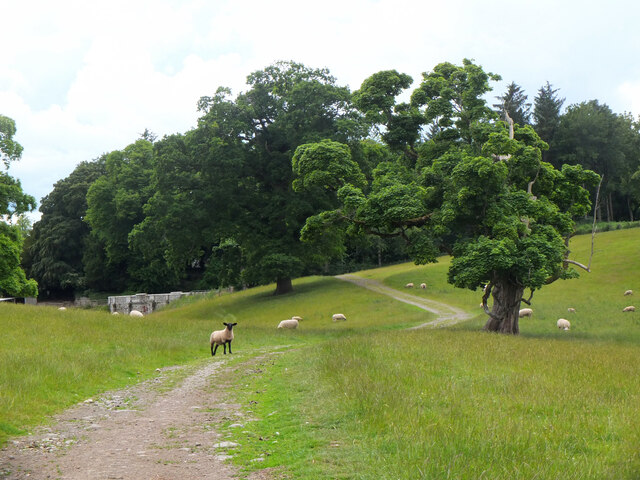
Clerklands Images

Images are sourced within 2km of 55.507197/-2.7931932 or Grid Reference NT5024. Thanks to Geograph Open Source API. All images are credited.

A horse reflection at Riddell A large pond formed in this horse field after periods of heavy rain. I walked by here two days previously and there was no lying water in the field.
A horse reflection at Riddell
A large pond formed in this horse field after periods of heavy rain. I walked by here two days previously and there was no lying water in the field.
A farm road on the Riddell Estate This is Park Bridge which spans a small burn and culvert.
A farm road on the Riddell Estate
This is Park Bridge which spans a small burn and culvert.
Riddell South Bridge The bridge spans the Ale Water on the Riddell Estate. There is a sign at the junction of the estate road to the southeast and the B6400 warning of a maximum weight of two tonnes for this bridge.
Riddell South Bridge
The bridge spans the Ale Water on the Riddell Estate. There is a sign at the junction of the estate road to the southeast and the B6400 warning of a maximum weight of two tonnes for this bridge.
Sheep grazing near Riddell Estate land near the ruined house at Riddell. Left of centre is a stone bridge taking the track over a minor burn.
Sheep grazing near Riddell
Estate land near the ruined house at Riddell. Left of centre is a stone bridge taking the track over a minor burn.
Ale Water bridge at Riddell A handsome single arched stone bridge in the Riddell estate.
Ale Water bridge at Riddell
A handsome single arched stone bridge in the Riddell estate.
Remains of the former Riddell House The gaunt remains of the house, a roofless ruin with substantial tree growth within. The house is on the site of an old peel tower which might date back to the 14th century. The house was extended and changed over the years but burnt down in 1943 to leave this shell standing. Further details can be found on the Canmore website at <span class="nowrap"><a title="https://canmore.org.uk/site/55483/riddell" rel="nofollow ugc noopener" href="https://canmore.org.uk/site/55483/riddell">Link</a><img style="margin-left:2px;" alt="External link" title="External link - shift click to open in new window" src="https://s1.geograph.org.uk/img/external.png" width="10" height="10"/></span>
Remains of the former Riddell House
The gaunt remains of the house, a roofless ruin with substantial tree growth within. The house is on the site of an old peel tower which might date back to the 14th century. The house was extended and changed over the years but burnt down in 1943 to leave this shell standing. Further details can be found on the Canmore website at LinkExternal link
Doorway to the former Riddell House The doorway on the south side of the ruined house, destroyed by fire in 1943. It appears that a plaque or stone above the door has been removed. The ruin is of course fenced off as it is clearly in a potentially dangerous state.

For more details see the Canmore website at <span class="nowrap"><a title="https://canmore.org.uk/site/55483/riddell" rel="nofollow ugc noopener" href="https://canmore.org.uk/site/55483/riddell">Link</a><img style="margin-left:2px;" alt="External link" title="External link - shift click to open in new window" src="https://s1.geograph.org.uk/img/external.png" width="10" height="10"/></span>.
Doorway to the former Riddell House
The doorway on the south side of the ruined house, destroyed by fire in 1943. It appears that a plaque or stone above the door has been removed. The ruin is of course fenced off as it is clearly in a potentially dangerous state. For more details see the Canmore website at LinkExternal link.
Deer Larder, Riddell House According to the Canmore website at <span class="nowrap"><a title="https://canmore.org.uk/site/55483/riddell" rel="nofollow ugc noopener" href="https://canmore.org.uk/site/55483/riddell">Link</a><img style="margin-left:2px;" alt="External link" title="External link - shift click to open in new window" src="https://s1.geograph.org.uk/img/external.png" width="10" height="10"/></span> this outbuilding by the old Riddell House was a deer larder.
Deer Larder, Riddell House
According to the Canmore website at LinkExternal link this outbuilding by the old Riddell House was a deer larder.
Park Bridge, Riddell Estate A bridge taking the track from Lilliesleaf across a tributary of the Ale Water. It is referred to as Park Bridge in the Canmore website entry for Riddell House: <span class="nowrap"><a title="https://canmore.org.uk/site/55483/riddell" rel="nofollow ugc noopener" href="https://canmore.org.uk/site/55483/riddell">Link</a><img style="margin-left:2px;" alt="External link" title="External link - shift click to open in new window" src="https://s1.geograph.org.uk/img/external.png" width="10" height="10"/></span>.
Park Bridge, Riddell Estate
A bridge taking the track from Lilliesleaf across a tributary of the Ale Water. It is referred to as Park Bridge in the Canmore website entry for Riddell House: LinkExternal link.
Estate bridge over the Ale Water, Riddell A closer view of the bridge shown in <a href="https://www.geograph.org.uk/photo/7215637">NT5124 : Ale Water bridge at Riddell</a>. It is subject to a 2-ton weight limit.
Estate bridge over the Ale Water, Riddell
A closer view of the bridge shown in NT5124 : Ale Water bridge at Riddell. It is subject to a 2-ton weight limit.
Track into Riddell Estate The track meets the B6400 about 1km west of Lilliesleaf.
Track into Riddell Estate
The track meets the B6400 about 1km west of Lilliesleaf.
Great Laws Plantation
Clerklands Loch A trout fishery near Selkirk.  The loch looks well established, but you will not find it on the 1:50,000 map.
Clerklands Loch
A trout fishery near Selkirk. The loch looks well established, but you will not find it on the 1:50,000 map.
North Cringles Strip A strip wood by Clerklands Loch.
North Cringles Strip
A strip wood by Clerklands Loch.
Clerklands Loch Boats tied up for the close season.
Clerklands Loch
Boats tied up for the close season.
Flood debris, Riddell Remains of the bad flooding of December 2015.  On one day I was working adjacent to a flood wall in Hawick and the river was flowing above my feet.   It was a good wall.
Flood debris, Riddell
Remains of the bad flooding of December 2015. On one day I was working adjacent to a flood wall in Hawick and the river was flowing above my feet. It was a good wall.
Flood debris, Riddell Debris left against a hedge after December 2015's floods.
Flood debris, Riddell
Debris left against a hedge after December 2015's floods.
B6400 Near Riddell, Roxburghshire.
B6400
Near Riddell, Roxburghshire.
Show me another place!

Clerklands is located at Grid Ref: NT5024 (Lat: 55.507197, Lng: -2.7931932)

Unitary Authority: The Scottish Borders

Police Authority: The Lothians and Scottish Borders

What 3 Words

///gains.straying.cushy. Near Selkirk, Scottish Borders

Related Wikis

Bowismiln

Bowismiln is a village in the Scottish Borders area of Scotland. == See also == List of places in the Scottish Borders List of places in Scotland ��2...

Lothian and Borders

Lothian and Borders is an area in Scotland consisting of the East Lothian, City of Edinburgh, Midlothian, West Lothian council areas (collectively known...

Lilliesleaf

Lilliesleaf is a small village and civil parish 7 miles (11 km) south east of Selkirk in the Roxburghshire area of Scottish Borders of Scotland. Other...

Woll

Woll is a village on the Ale Water, off the A7, in the Ettrick Forest, north of Hawick, and south of Selkirk in the Scottish Borders area of Scotland....

Ashkirk

Ashkirk is a small village on the Ale Water, in the Scottish Borders area of Scotland. It is located just off the A7 road, approximately 6 miles (10 kilometres...

Salenside

Salenside is a village off the A7, on the Ale Water, near Ashkirk, in the Scottish Borders area of Scotland, in the former Selkirkshire. There was a Salenside...

The Haining

The Haining is a country house and estate in Selkirk in the Scottish Borders. The present house dates from the 1790s, and was a property of the Pringle...

Selkirk High School

Selkirk High School is a high school in Selkirk, Scotland, which serves the town and its surrounding area including the Ettrick and Yarrow valleys and...

Nearby Amenities

Located within 500m of 55.507197,-2.7931932
Natural: peak
Lat/Long: 55.5075179/-2.7863241
Power: tower
Lat/Long: 55.5094124/-2.7981621
Power: tower
Lat/Long: 55.5068641/-2.7982522
Power: tower
Lat/Long: 55.504051/-2.7983516
The data included in this document is from www.openstreetmap.org. The data is made available under ODbL.

Have you been to Clerklands?

Leave your review of Clerklands below (or comments, questions and feedback).