Clerkhill
Settlement in Aberdeenshire
Scotland
Clerkhill

Clerkhill is a small village located in Aberdeenshire, Scotland. Situated approximately 3 miles north of the town of Peterhead, it is nestled in a rural setting surrounded by picturesque countryside. The village is home to a close-knit community and offers a peaceful and tranquil atmosphere.
Clerkhill has a modest population, with a mix of residential properties, including traditional stone-built houses and more modern developments. The village benefits from a range of local amenities, including a primary school, a community center, and a convenience store, catering to the daily needs of its residents. There are also several parks and green spaces in the area, providing opportunities for outdoor activities and leisurely walks.
The village is conveniently located near the A90 road, which connects it to nearby towns and cities, making it easily accessible for commuters. The nearby town of Peterhead offers additional amenities and services, including a wider range of shops, supermarkets, restaurants, and leisure facilities.
Clerkhill is surrounded by natural beauty, with rolling hills, farmland, and stunning coastal views just a short distance away. The area is renowned for its scenic walks, with numerous trails and paths available for exploration. Additionally, Clerkhill benefits from being in close proximity to several beautiful beaches and nature reserves, offering residents and visitors a chance to enjoy the great outdoors.
Overall, Clerkhill provides a peaceful and idyllic setting for those looking for a quiet village lifestyle, while still being within reach of the amenities and attractions of the wider Aberdeenshire region.
If you have any feedback on the listing, please let us know in the comments section below.
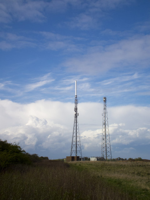
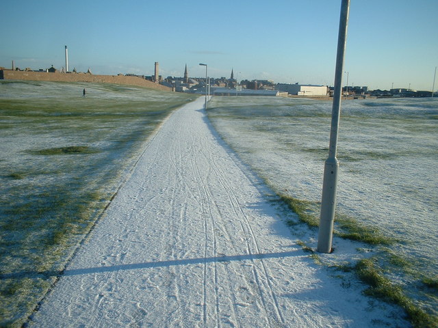
Clerkhill Images
Images are sourced within 2km of 57.504068/-1.802165 or Grid Reference NK1145. Thanks to Geograph Open Source API. All images are credited.


Clerkhill is located at Grid Ref: NK1145 (Lat: 57.504068, Lng: -1.802165)
Unitary Authority: Aberdeenshire
Police Authority: North East
What 3 Words
///providing.causes.clearcut. Near Peterhead, Aberdeenshire
Related Wikis
Clerkhill
Clerkhill is an area of the town of Peterhead in north east Scotland. Surrounded by the areas of Meethill, Dales Park and Coplandhill, it is one of the...

Peterhead Community Hospital
Peterhead Community Hospital is located in Peterhead, a coastal town approximately 32 miles north of Aberdeen, Scotland. It is managed by NHS Grampian...
Kirkburn House
Kirkburn House is a Category B listed building on South Road in Peterhead, Aberdeenshire, Scotland. It was the manse for the adjacent, now-ruined Old St...
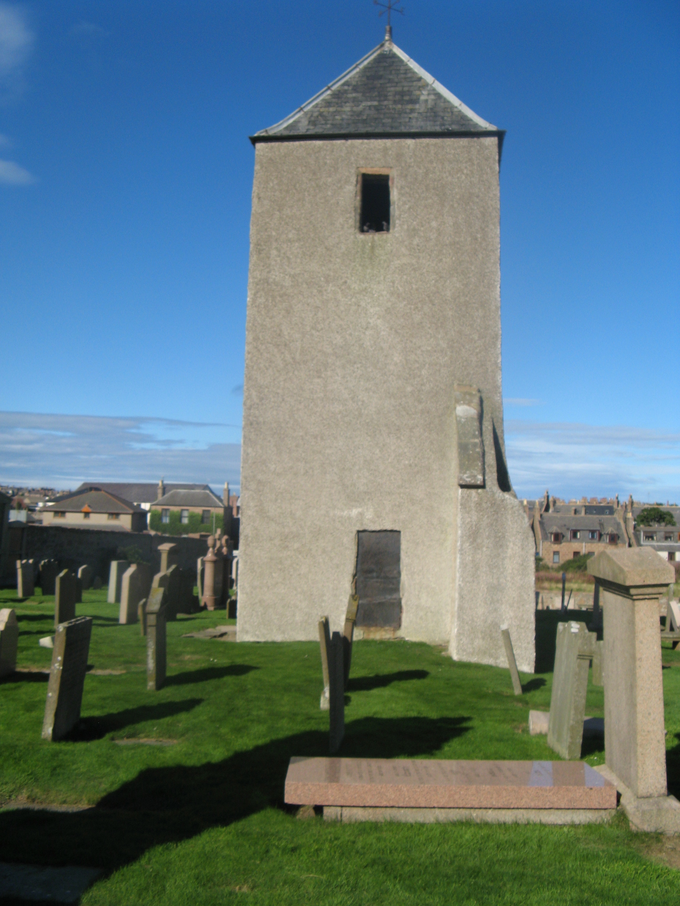
Old St Peter's Church, Peterhead
Old St Peter's Church (also known as St Peter's on the Links) is a scheduled monument in Peterhead, Aberdeenshire, Scotland. While the medieval main tower...
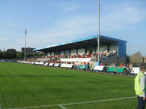
Balmoor Stadium
Balmoor (also known as Balmoor Stadium) is an association football ground in the Scottish town of Peterhead, Aberdeenshire. It is home to Peterhead. The...
Peterhead Academy
Peterhead Academy is a six-year Comprehensive Community School in Peterhead, Aberdeenshire, Scotland. It is operated by Aberdeenshire Council. == History... ==

Peterhead railway station
Peterhead railway station was a railway station in Peterhead, Aberdeenshire. == History == The railway station was opened on 3 July 1862 by the Formartine...
Waves Radio
Waves Radio was an Independent Local Radio station based in Peterhead, Scotland for Aberdeenshire with coverage across Peterhead and Fraserburgh on 101...
Related Videos

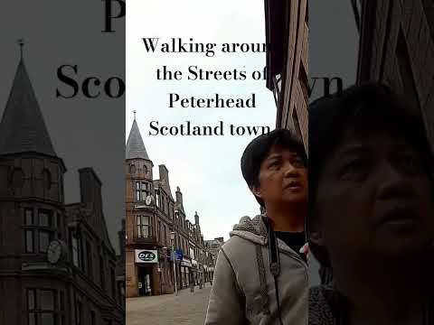
Scotland 2023 - Peterhead Walking Tour 4K 60fps
Scotland 2023 - Peterhead Walking Tour 4K 60fps. Peterhead is a town in Aberdeenshire, Scotland. It is Aberdeenshire's biggest ...
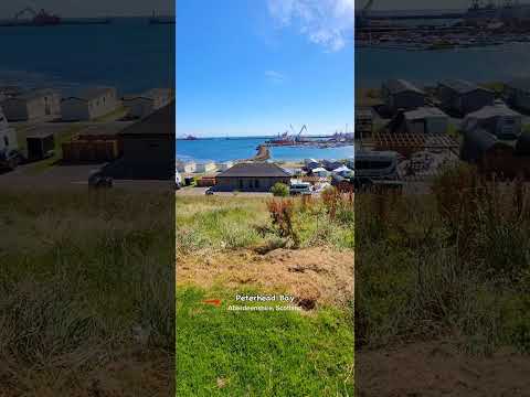
Peterhead Bay Marina, Holiday Park, Aberdeenshire, Scotland
Peterhead bay holiday park, marina, Aberdeenshire, Scotland.

Nearby Amenities
Located within 500m of 57.504068,-1.802165Have you been to Clerkhill?
Leave your review of Clerkhill below (or comments, questions and feedback).