Beacon Plantation

Wood, Forest in Cumberland Copeland

England

Beacon Plantation

A595 junction with Main Street, Ravenglass
A595 junction with Main Street, Ravenglass Credit: Colin Pyle

Beacon Plantation, located in Cumberland, is a sprawling woodland area known for its dense forest and natural beauty. Covering an extensive area, this plantation is a haven for nature enthusiasts and a popular destination for those seeking tranquility and outdoor activities.

The plantation boasts a diverse range of trees, including oak, pine, and maple, creating a picturesque landscape that changes with the seasons. The forest floor is covered in a vibrant carpet of moss and ferns, adding to the area's enchanting atmosphere. Wildlife thrives in this habitat, with sightings of deer, squirrels, and various bird species being common.

Visitors to Beacon Plantation can enjoy a range of activities such as hiking, birdwatching, and photography. The plantation offers well-maintained trails that wind through the forest, allowing visitors to immerse themselves in the natural surroundings. Along these trails, one can discover hidden streams, small waterfalls, and stunning viewpoints that offer breathtaking vistas of the forest.

For those interested in learning more about the local flora and fauna, guided nature walks are available, led by knowledgeable guides who share their expertise and insights. These walks provide an educational experience and create awareness about the importance of preserving and conserving natural habitats.

Beacon Plantation is not only a haven for nature lovers but also serves as an important ecological site within the region. The plantation plays a vital role in maintaining biodiversity, providing a habitat for a wide range of plant and animal species.

Overall, Beacon Plantation is a captivating destination for those seeking solace in nature, offering a unique opportunity to explore and appreciate the beauty of the Cumberland woodland.

If you have any feedback on the listing, please let us know in the comments section below.

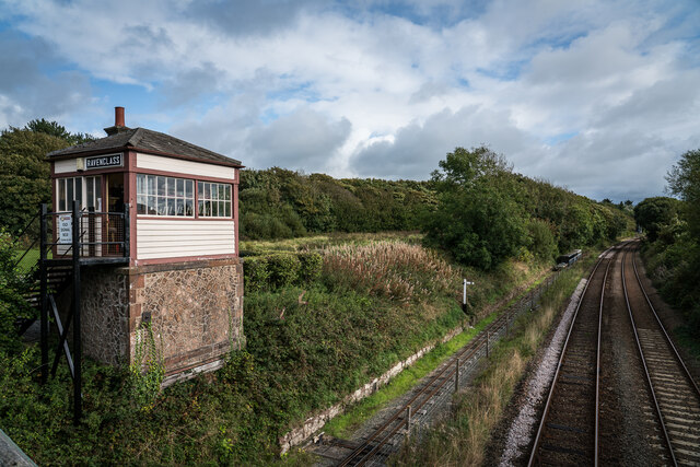
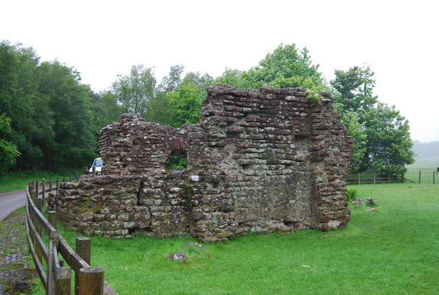
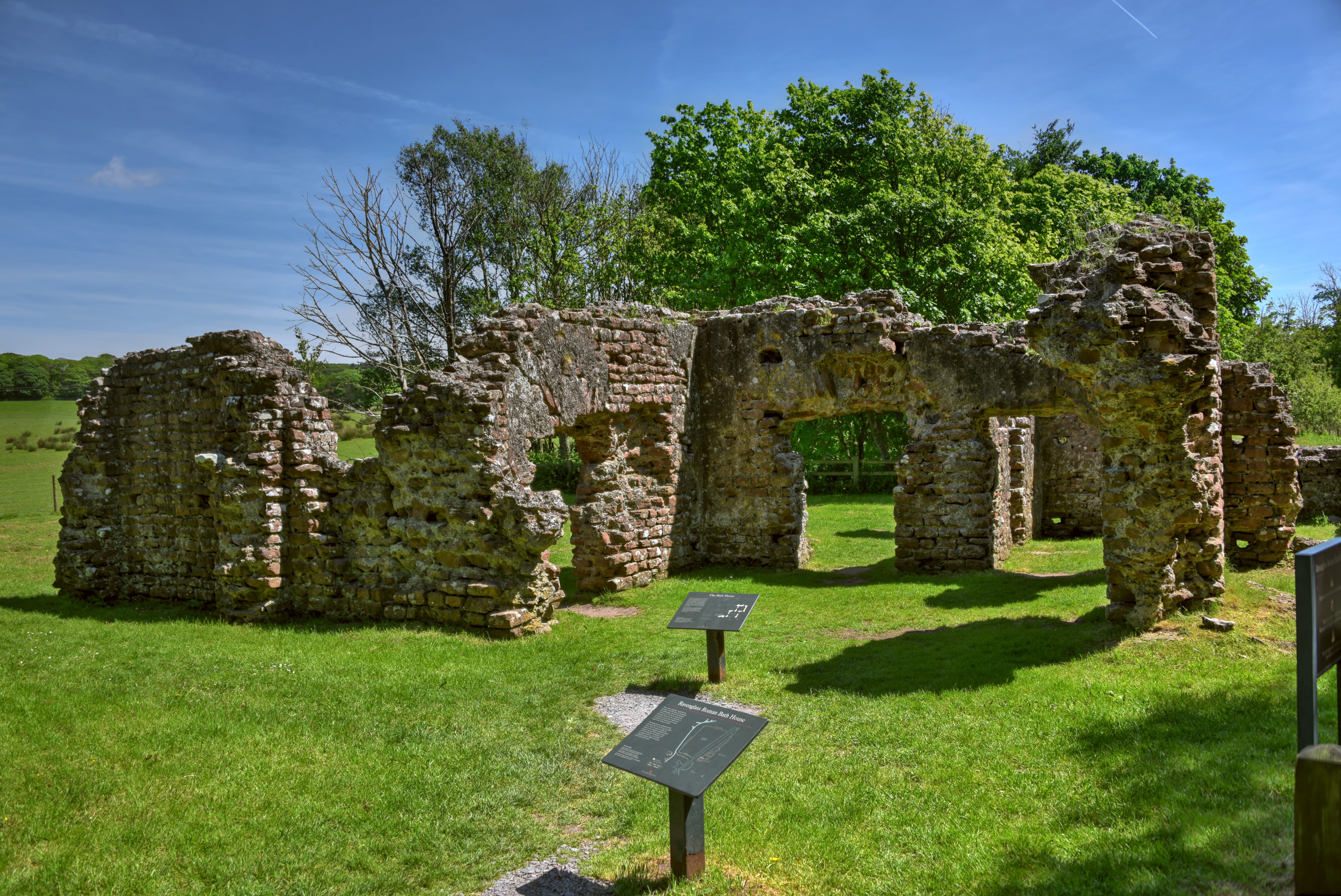
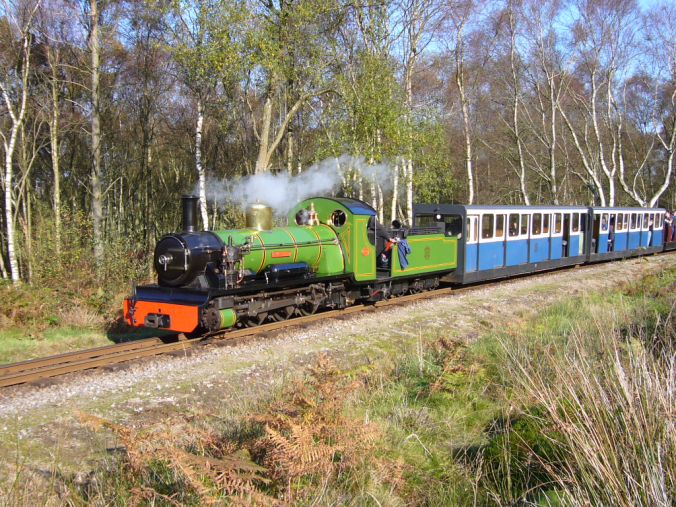
Beacon Plantation Images

Images are sourced within 2km of 54.343153/-3.3953698 or Grid Reference SD0995. Thanks to Geograph Open Source API. All images are credited.

A595 junction with Main Street, Ravenglass
Ordnance Survey Pivot This OS pivot can be found on the SE face of the railway bridge. It marks a point 5.444m above mean sea level.
Ordnance Survey Pivot
This OS pivot can be found on the SE face of the railway bridge. It marks a point 5.444m above mean sea level.
Ordnance Survey Cut Mark This OS cut mark can be found on the building west side of the slip way at the south end of Main Street. It marks a point 5.093m above mean sea level.
Ordnance Survey Cut Mark
This OS cut mark can be found on the building west side of the slip way at the south end of Main Street. It marks a point 5.093m above mean sea level.
Ravenglass 'River Mite' reversing onto a train which would form a mid-morning departure to Dalegarth.
Ravenglass
'River Mite' reversing onto a train which would form a mid-morning departure to Dalegarth.
Ravenglass 'River Mite' with the train which would form a mid-morning departure to Dalegarth. The first carriage is one of a batch recently manufactured in the workshop of the Ffestiniog Railway.
Ravenglass
'River Mite' with the train which would form a mid-morning departure to Dalegarth. The first carriage is one of a batch recently manufactured in the workshop of the Ffestiniog Railway.
Ravenglass station on the Ravenglass & Eskdale Railway Whillan Beck propels its empty carriages into the shed after arrival from Dalegarth.
Ravenglass station on the Ravenglass & Eskdale Railway
Whillan Beck propels its empty carriages into the shed after arrival from Dalegarth.
Whillan Beck on the turntable at Ravenglass Ravenglass & Eskdale Railway
Whillan Beck on the turntable at Ravenglass
Ravenglass & Eskdale Railway
Ravenglass street scene Ravenglass seems very different from other Lakeland villages - use of pebbledash tells you something about the weather.
Ravenglass street scene
Ravenglass seems very different from other Lakeland villages - use of pebbledash tells you something about the weather.
Ravenglass shoreline Where the River Esk joins the Irish Sea.
Ravenglass shoreline
Where the River Esk joins the Irish Sea.
Roman Bath House Remains, Ravenglass Ravenglass Roman Bath House is a ruined ancient Roman bath house at Ravenglass, Cumbria, England. Belonging to a 2nd-century Roman fort and naval base. The bath house is described by Matthew Hyde in his update to the Pevsner Guide to Cumbria as "an astonishing survival". The still standing walls are 13 ft (4 m) high, there are patches of the internal rendering, in dull red and white cement, and traces of the splayed window openings remain.

The relatively good state of preservation of the bath house is believed to be attributable to its being adapted for domestic use in the medieval period.

<span class="nowrap"><a title="https://en.wikipedia.org/wiki/Ravenglass_Roman_Bath_House" rel="nofollow ugc noopener" href="https://en.wikipedia.org/wiki/Ravenglass_Roman_Bath_House">Link</a><img style="margin-left:2px;" alt="External link" title="External link - shift click to open in new window" src="https://s1.geograph.org.uk/img/external.png" width="10" height="10"/></span>
Roman Bath House Remains, Ravenglass
Ravenglass Roman Bath House is a ruined ancient Roman bath house at Ravenglass, Cumbria, England. Belonging to a 2nd-century Roman fort and naval base. The bath house is described by Matthew Hyde in his update to the Pevsner Guide to Cumbria as "an astonishing survival". The still standing walls are 13 ft (4 m) high, there are patches of the internal rendering, in dull red and white cement, and traces of the splayed window openings remain. The relatively good state of preservation of the bath house is believed to be attributable to its being adapted for domestic use in the medieval period. LinkExternal link
Rusty Anchor, Ravenglass
Signal Box, Ravenglass
Ravenglass Railway Station The platform for trains to Barrow and Lancaster.
Ravenglass Railway Station
The platform for trains to Barrow and Lancaster.
Ravenglass Railway Station A train for either Barrow or Lancaster. Two carriages is now the normal formation, but occasionally just a single carriage runs during the quieter mid-day period.
Ravenglass Railway Station
A train for either Barrow or Lancaster. Two carriages is now the normal formation, but occasionally just a single carriage runs during the quieter mid-day period.
Loco Shed, Ravenglass Interior of the Ravenglass and Eskdale Railway steam locomotive shed near the Ravenglass terminus of the line.
The wood piled in the corner is scrap used as kindling when the steam locomotives are being prepared and the fires are being lit.
Loco Shed, Ravenglass
Interior of the Ravenglass and Eskdale Railway steam locomotive shed near the Ravenglass terminus of the line. The wood piled in the corner is scrap used as kindling when the steam locomotives are being prepared and the fires are being lit.
Water Tank Mounted on the rear corner of the Diesel Shed and conveniently sited outside the (steam) Loco Shed, the water tank is used for replenishment of the Ravenglass and Eskdale Railway’s fleet of steam locomotives.
The horizontal boards supporting the stone heap are kept in place by old rails.
The dirty, oily ground is very typical of that found in railway installations where steam locomotives have been serviced over a long period of time.
Water Tank
Mounted on the rear corner of the Diesel Shed and conveniently sited outside the (steam) Loco Shed, the water tank is used for replenishment of the Ravenglass and Eskdale Railway’s fleet of steam locomotives. The horizontal boards supporting the stone heap are kept in place by old rails. The dirty, oily ground is very typical of that found in railway installations where steam locomotives have been serviced over a long period of time.
Man at work On the Ravenglass and Eskdale Railway a man is pushing a narrow gauge flat wagon loaded with two wheel skates along a siding near the railway's workshop.
The southern end of the down platform of Ravenglass Station on The Cumbrian Coast Line is in the background.
Man at work
On the Ravenglass and Eskdale Railway a man is pushing a narrow gauge flat wagon loaded with two wheel skates along a siding near the railway's workshop. The southern end of the down platform of Ravenglass Station on The Cumbrian Coast Line is in the background.
Shelagh of Eskdale Lifted off her bogies and mounted on stands, the 15” gauge locomotive Shelagh of Eskdale is being overhauled in the Ravenglass and Eskdale Railway’s workshop at Ravenglass.
The workshop was housed in the former Furness Railway goods shed, but a serious fire in March 2013 resulted in £600,000 of damage and the loss of most of the building.  A local man from Seascale who worked on the railway was subsequently imprisoned for arson.  A small part of the original stone built structure (behind the locomotive) was incorporated into the longer and higher replacement building with improved maintenance facilities including inspection pits.
Shelagh of Eskdale
Lifted off her bogies and mounted on stands, the 15” gauge locomotive Shelagh of Eskdale is being overhauled in the Ravenglass and Eskdale Railway’s workshop at Ravenglass. The workshop was housed in the former Furness Railway goods shed, but a serious fire in March 2013 resulted in £600,000 of damage and the loss of most of the building. A local man from Seascale who worked on the railway was subsequently imprisoned for arson. A small part of the original stone built structure (behind the locomotive) was incorporated into the longer and higher replacement building with improved maintenance facilities including inspection pits.
Show me another place!

Beacon Plantation is located at Grid Ref: SD0995 (Lat: 54.343153, Lng: -3.3953698)

Administrative County: Cumbria

District: Copeland

Police Authority: Cumbria

What 3 Words

///twitchy.wins.disgraced. Near Seascale, Cumbria

Related Wikis

Nearby Amenities

Located within 500m of 54.343153,-3.3953698
Source: PGS
Lat/Long: 54.340814/-3.400954
Source: PGS
Lat/Long: 54.340624/-3.3999778
Source: PGS
Lat/Long: 54.3402498/-3.39925
Source: PGS
Lat/Long: 54.3417047/-3.3915667
Source: PGS
Lat/Long: 54.3419469/-3.3909098
Source: PGS
Lat/Long: 54.3421934/-3.3903743
Source: PGS
Lat/Long: 54.3425672/-3.3897932
Power: tower
Source: visual survey;bing
Lat/Long: 54.3469461/-3.3984657
Power: tower
Source: bing
Lat/Long: 54.3441796/-3.3971862
Power: tower
Source: bing
Lat/Long: 54.3413889/-3.3958689
Power: pole
Lat/Long: 54.3414566/-3.3953374
Source: PGS
Lat/Long: 54.3401976/-3.3914048
Newtown Knott
Ele: 79
Natural: peak
Lat/Long: 54.3454874/-3.3950276
The data included in this document is from www.openstreetmap.org. The data is made available under ODbL.

Have you been to Beacon Plantation?

Leave your review of Beacon Plantation below (or comments, questions and feedback).