Newtown Knott
Hill, Mountain in Cumberland Copeland
England
Newtown Knott

Newtown Knott is a prominent hill located in Cumberland, a county in the northwest region of England. Standing at an elevation of approximately 440 meters (1,444 feet), it is regarded as one of the highest points in the county and a popular destination for hikers, nature enthusiasts, and outdoor adventurers.
Nestled amidst the picturesque landscape of the Lake District National Park, Newtown Knott offers breathtaking panoramic views of the surrounding countryside. Its prominent position grants visitors the opportunity to admire the sprawling valleys, rolling hills, and shimmering lakes that define this scenic region.
The hill itself features a rugged terrain, characterized by steep slopes and rocky outcrops, which adds an element of challenge for those seeking a thrilling hiking experience. The ascent to the summit can be demanding but is immensely rewarding, as it culminates in a stunning vista that stretches far and wide.
The area surrounding Newtown Knott is rich in biodiversity, boasting a diverse range of flora and fauna. It provides a habitat for various bird species, including buzzards and peregrine falcons, attracting birdwatchers from far and wide. The hill is also home to a variety of wildflowers, mosses, and heather, which paint the landscape with vibrant colors during the summer months.
For those seeking a tranquil escape from the hustle and bustle of urban life, Newtown Knott offers a serene retreat and a chance to immerse oneself in the beauty of nature. Whether it's a leisurely stroll, an invigorating hike, or simply enjoying the awe-inspiring views, Newtown Knott is a must-visit destination for outdoor enthusiasts in Cumberland.
If you have any feedback on the listing, please let us know in the comments section below.
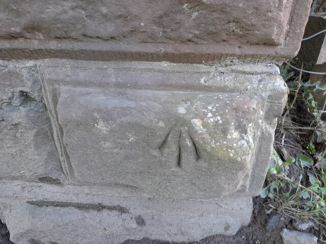
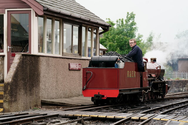
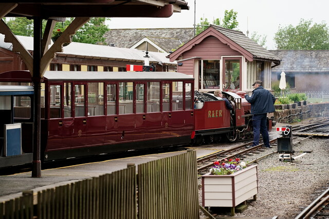
Newtown Knott Images
Images are sourced within 2km of 54.345603/-3.3949298 or Grid Reference SD0995. Thanks to Geograph Open Source API. All images are credited.

Newtown Knott is located at Grid Ref: SD0995 (Lat: 54.345603, Lng: -3.3949298)
Administrative County: Cumbria
District: Copeland
Police Authority: Cumbria
What 3 Words
///germinate.bugs.charts. Near Seascale, Cumbria
Nearby Locations
Related Wikis

St John's Church, Waberthwaite
St John's Church is situated on the south bank of the River Esk in the hamlet of Hall Waberthwaite in the former civil parish of Waberthwaite (now part...
Glannoventa
Glannoventa is a Roman fort associated with the Roman naval base at Ravenglass in Cumbria, England. Its name is derived from the Latin place-name Clanoventa...
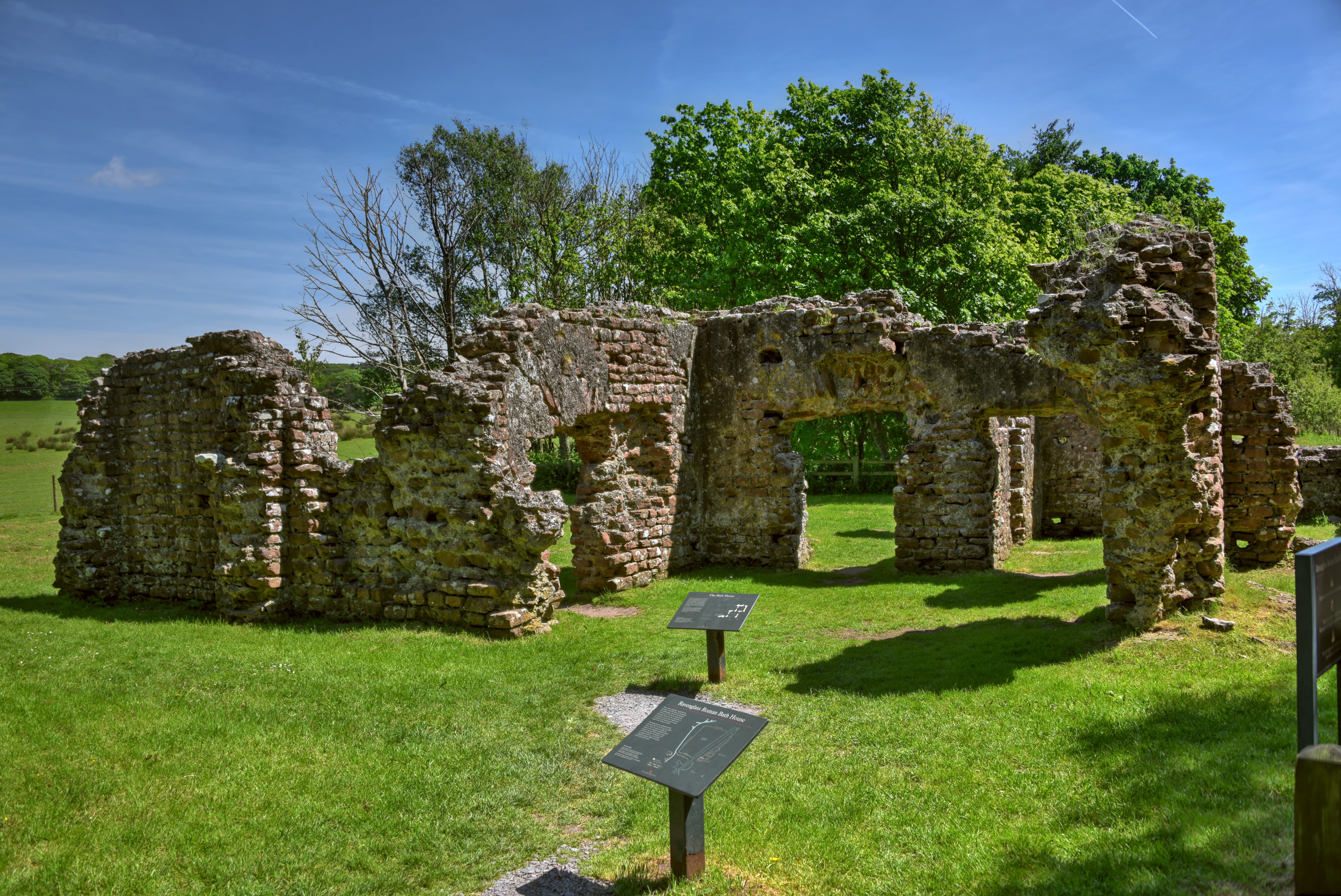
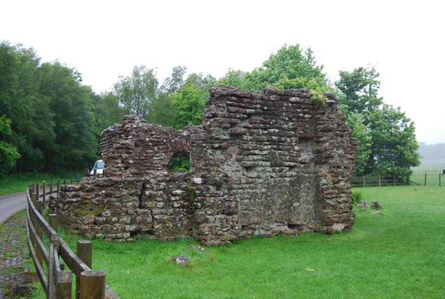
Ravenglass Roman Bath House
Ravenglass Roman Bath House (also known as Walls Castle) is a ruined ancient Roman bath house at Ravenglass, Cumbria, England. Belonging to a 2nd-century...
National Cycle Route 72
National Route 72 of the National Cycle Network, in Northern England is also called "Hadrian's Cycleway". It starts at Kendal and makes its way around...

Eskmeals railway station
Eskmeals is a former railway station in the Eskmeals area of the Cumbrian coast, England. It was located on the Cumbrian Coast Line, south of Ravenglass...
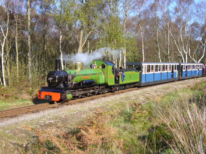
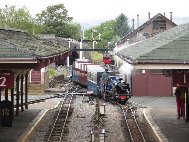
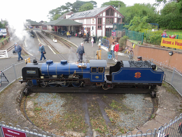
Ravenglass and Eskdale Railway
The Ravenglass and Eskdale Railway is a 15 in (381 mm) minimum gauge heritage railway in Cumbria, England. The 7-mile (11.3 km) line runs from Ravenglass...

Muncaster Castle
Muncaster Castle is a privately owned castle overlooking the River Esk, about a mile east of the west-coastal town of Ravenglass in Cumbria, England. It...

Muncaster War Memorial
Muncaster War Memorial is a First World War memorial in the parish of Muncaster on the west coast of Cumbria in the far north-west of England. The memorial...
Nearby Amenities
Located within 500m of 54.345603,-3.3949298Have you been to Newtown Knott?
Leave your review of Newtown Knott below (or comments, questions and feedback).