Chapel Covert

Wood, Forest in Devon East Devon

England

Chapel Covert

In need of some TLC An overgrown greenhouse at Wildwood Escot.
a slightly less overgrown photograph can be seen <a href="https://www.geograph.org.uk/photo/5363512">SY0797 : Walled garden at Escot</a>
In need of some TLC Credit: Anthony Vosper

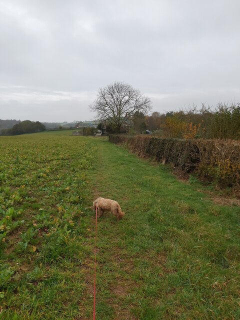
Chapel Covert is a picturesque woodland located in the county of Devon, England. Nestled within the breathtaking landscape of the Dartmoor National Park, this forest exudes natural beauty and tranquility. With a total area of approximately 200 hectares, Chapel Covert offers visitors a peaceful retreat away from the bustling city life.

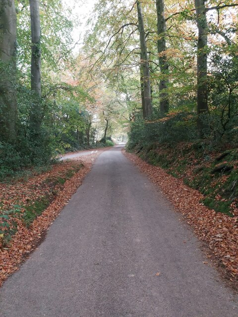
The woodland is characterized by its dense canopy of towering trees, predominantly consisting of native species such as oak, beech, and birch. The forest floor is adorned with a rich carpet of ferns, mosses, and wildflowers, creating a vibrant and diverse ecosystem. This biodiversity attracts a range of wildlife, including birds, mammals, and insects, making Chapel Covert a popular spot for nature enthusiasts and birdwatchers.

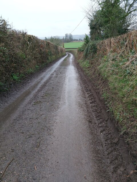
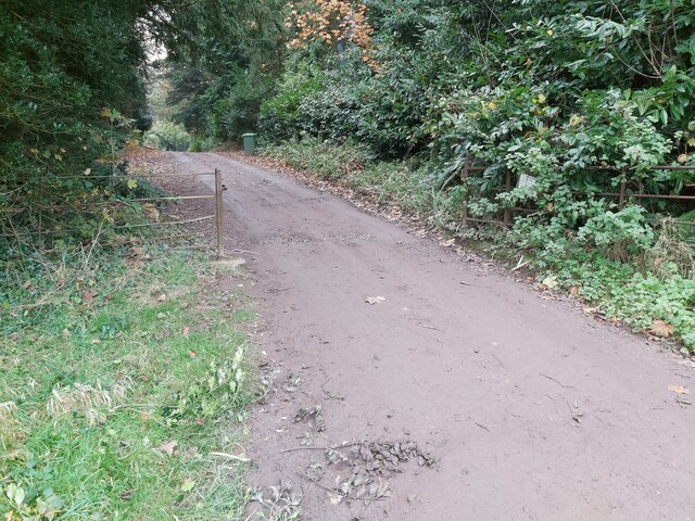
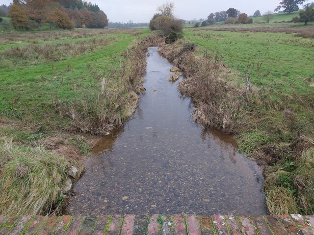
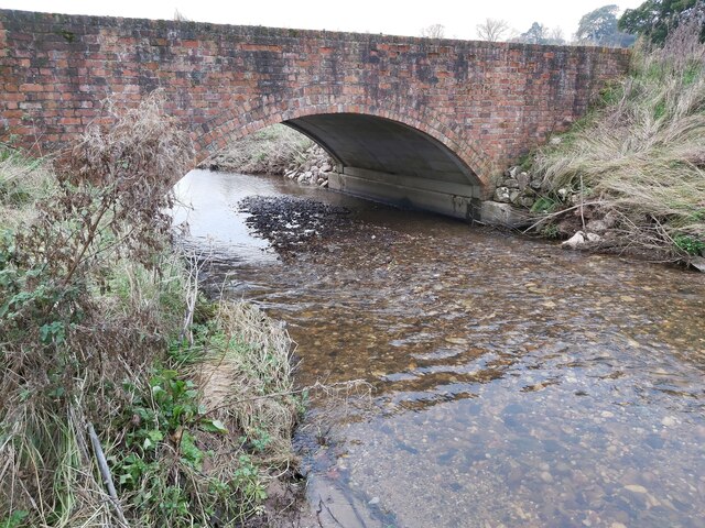
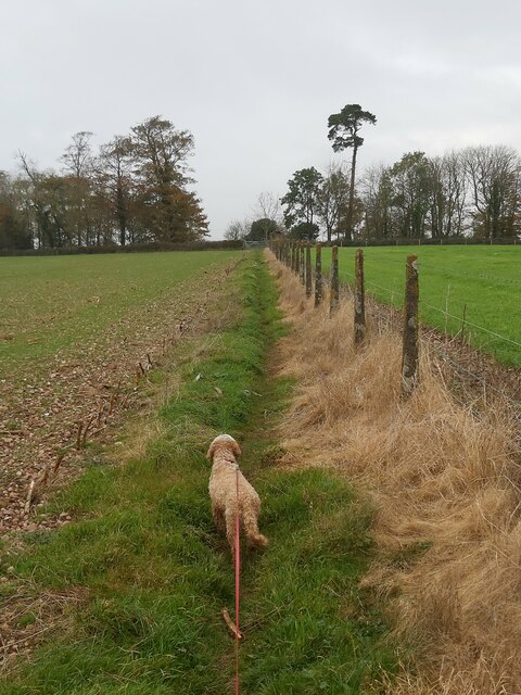
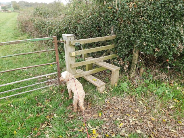
Traversing through Chapel Covert, visitors can explore a network of well-maintained footpaths and trails that wind their way through the woods. These paths offer breathtaking views of the surrounding moorland, and occasional glimpses of the River Dart that flows nearby. The peaceful ambiance of the woodland, interrupted only by the sounds of birdsong and rustling leaves, provides a perfect setting for a leisurely stroll or a calming picnic.

Chapel Covert holds historical significance as well, with the ruins of an ancient chapel scattered within its boundaries. These ruins serve as a reminder of the area's spiritual past, adding an element of intrigue to the woodland's allure.

Overall, Chapel Covert in Devon is a captivating forest that captures the essence of the English countryside. Its natural beauty, diverse wildlife, and historical charm make it a must-visit destination for those seeking a serene and immersive woodland experience.

If you have any feedback on the listing, please let us know in the comments section below.

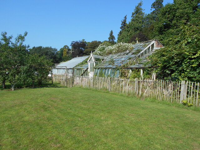
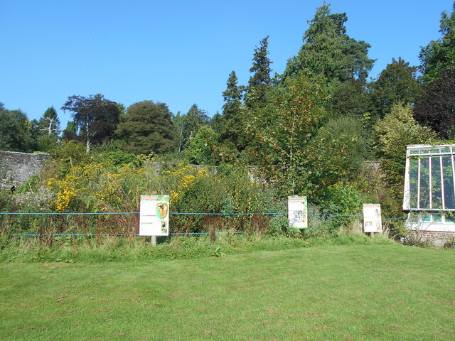
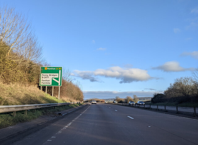
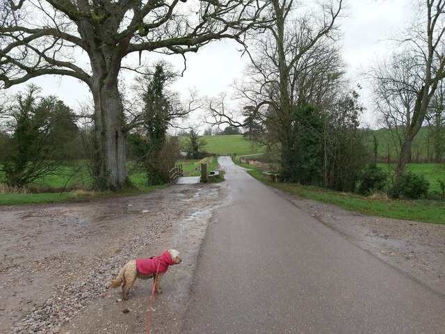
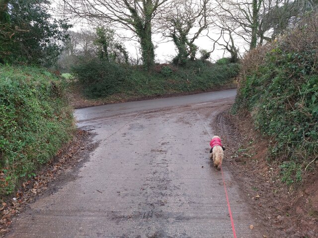
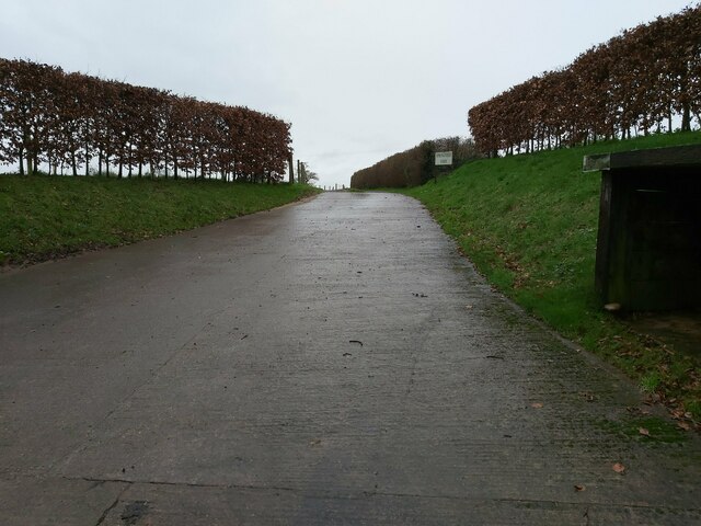
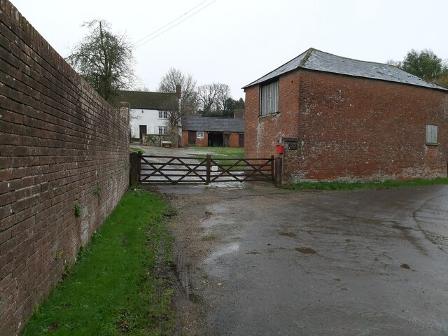
Chapel Covert Images

Images are sourced within 2km of 50.769338/-3.2934227 or Grid Reference SY0897. Thanks to Geograph Open Source API. All images are credited.

In need of some TLC An overgrown greenhouse at Wildwood Escot.
a slightly less overgrown photograph can be seen <a href="https://www.geograph.org.uk/photo/5363512">SY0797 : Walled garden at Escot</a>
In need of some TLC
An overgrown greenhouse at Wildwood Escot. a slightly less overgrown photograph can be seen SY0797 : Walled garden at Escot
A quiet corner A section of the kitchen garden at Wildwood Escot, has been allowed to grow wild to encourage wildlife.
the signs give information on the types of bees that can found.
A quiet corner
A section of the kitchen garden at Wildwood Escot, has been allowed to grow wild to encourage wildlife. the signs give information on the types of bees that can found.
Fenny Bridges turning from the A30 heading east
Double Bridge over a River This road bridge and wooden bridge combined is on the Wildwood Escot Park Estate near Talaton in Devon. The bridge crosses a tributary of the River Tale.
Double Bridge over a River
This road bridge and wooden bridge combined is on the Wildwood Escot Park Estate near Talaton in Devon. The bridge crosses a tributary of the River Tale.
Junction between Farm Track and Road This junction between the farm track and a country road is in between Beacon Cross and Larkbeare in Devon.
Junction between Farm Track and Road
This junction between the farm track and a country road is in between Beacon Cross and Larkbeare in Devon.
Road Entrance to a Farm Entrance driveway to Springfield Farm as viewed from the country road between Beacon Cross and Larkbeare in Devon.
Road Entrance to a Farm
Entrance driveway to Springfield Farm as viewed from the country road between Beacon Cross and Larkbeare in Devon.
Gated Entrance to a Farmhouse Wooden, gated entrance to Larkbeare Dairy Farmhouse on the country road between Larkbeare and Talaton Farm in Devon.
Gated Entrance to a Farmhouse
Wooden, gated entrance to Larkbeare Dairy Farmhouse on the country road between Larkbeare and Talaton Farm in Devon.
Country Road near Larkbeare A view down the country road from Larkbeare to Talaton Farm in Devon looking towards Escot Park.
Country Road near Larkbeare
A view down the country road from Larkbeare to Talaton Farm in Devon looking towards Escot Park.
Beacon Cross A road junction at Beacon Cross in Devon on a lane called Roman Road looking towards Talewater.
Beacon Cross
A road junction at Beacon Cross in Devon on a lane called Roman Road looking towards Talewater.
Gateway in Escot Park A gateway on a lane in Escot Park, Devon.
Gateway in Escot Park
A gateway on a lane in Escot Park, Devon.
Escot Park A view across the grasslands and mature trees of Escot Park in Devon.
Escot Park
A view across the grasslands and mature trees of Escot Park in Devon.
Track in Escot Park A track through the fields and mature trees of Escot Park in Devon.
Track in Escot Park
A track through the fields and mature trees of Escot Park in Devon.
River Tale in Escot Park A view of the River Tale in Escot Park, Devon as viewed from the bridge and public footpath.
River Tale in Escot Park
A view of the River Tale in Escot Park, Devon as viewed from the bridge and public footpath.
Bridge over the River Tale A bridge carrying a farm track over the River Tale in Devon. The track runs between Escot Park and Clapperentale Farm.
Bridge over the River Tale
A bridge carrying a farm track over the River Tale in Devon. The track runs between Escot Park and Clapperentale Farm.
Entrance to a Field An entrance to a field between hedgerows to follow the public footpath that runs between the Escot Park entrance road and Feniton village, Devon. Feniton can be seen in the background.
Entrance to a Field
An entrance to a field between hedgerows to follow the public footpath that runs between the Escot Park entrance road and Feniton village, Devon. Feniton can be seen in the background.
Footpath on the Edge of a Field On a public footpath at the edge of field between the Escot Park entrance track and Long Park near Feniton in Devon.
Footpath on the Edge of a Field
On a public footpath at the edge of field between the Escot Park entrance track and Long Park near Feniton in Devon.
Footpath on the Edge of a Field On a public footpath at the edge of field between Long Park and Higher Colesworthy near Feniton in Devon.
Footpath on the Edge of a Field
On a public footpath at the edge of field between Long Park and Higher Colesworthy near Feniton in Devon.
Stile on a Public Footpath A wooden stile on the public footpath between Long Park and Higher Colesworthy near Feniton in Devon.
Stile on a Public Footpath
A wooden stile on the public footpath between Long Park and Higher Colesworthy near Feniton in Devon.
Show me another place!

Chapel Covert is located at Grid Ref: SY0897 (Lat: 50.769338, Lng: -3.2934227)

Administrative County: Devon

District: East Devon

Police Authority: Devon and Cornwall

What 3 Words

///broads.eyelashes.jogging. Near Ottery St Mary, Devon

Related Wikis

Fairmile, Devon

Fairmile is a hamlet in the English county of Devon. In the late 1990s, Fairmile became a focus of direct action protest activities, as squatters attempted...
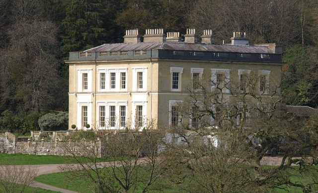
Escot, Talaton

Escot in the parish of Talaton, near Ottery St Mary in Devon, is an historic estate. The present mansion house known as Escot House is a grade II listed...

Cadhay

Cadhay is an historic estate in the parish of Ottery St Mary in Devon, England, 10 miles (16 km) east of Exeter and 5 miles (8 km) from the sea at Sidmouth...
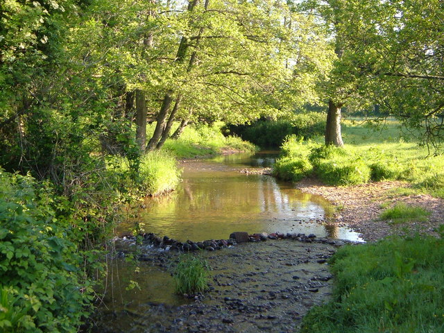
River Tale

The River Tale is a small river that drains the southern slopes of the Blackdown Hills, in Devon, England. It is a tributary of the River Otter and 8...

Nearby Amenities

Located within 500m of 50.769338,-3.2934227
Motorway Junction
Lat/Long: 50.7709382/-3.288201
Fairmile
Place: hamlet
Wikidata: Q5430569
Lat/Long: 50.7667724/-3.2955838
Taleford
Place: hamlet
Lat/Long: 50.7651099/-3.2910024
Post Box
Post Box Type: wall
Royal Cypher: GR
Royal Cypher Wikidata: Q33102273
Lat/Long: 50.7664717/-3.2956103
Barrier: kissing_gate
Lat/Long: 50.7723712/-3.2961905
Barrier: kissing_gate
Lat/Long: 50.7730711/-3.2945428
Post Box
Lat/Long: 50.76506/-3.2918768
Toilets
Lat/Long: 50.7689757/-3.2959089
Clock
Display: analog
Historic: yes
Royal Cypher: VR
Start Date: 1897
Support: wall_mounted
Visibility: house
Lat/Long: 50.7665236/-3.2957087
Information: guidepost
Tourism: information
Lat/Long: 50.7694573/-3.2951819
Information: guidepost
Tourism: information
Lat/Long: 50.7701873/-3.2953472
Barrier: yes
Lat/Long: 50.7664097/-3.2965075
Generator Method: photovoltaic
Generator Output Electricity: yes
Generator Source: solar
Generator Type: solar_photovoltaic_panel
Location: roof
Power: generator
Source: Bing
Lat/Long: 50.7661204/-3.2893994
The data included in this document is from www.openstreetmap.org. The data is made available under ODbL.

Have you been to Chapel Covert?

Leave your review of Chapel Covert below (or comments, questions and feedback).