Hommidge Copse
Wood, Forest in Devon East Devon
England
Hommidge Copse

Hommidge Copse is a picturesque woodland located in Devon, England. Spanning over a vast area of approximately 50 hectares, this enchanting copse is a haven for nature enthusiasts and outdoor adventurers alike.
The copse is characterized by its diverse range of trees, including oak, beech, and chestnut, which create a dense canopy, providing shade and shelter for a variety of plant and animal species. The forest floor is adorned with a vibrant tapestry of wildflowers, ferns, and mosses, adding to the copse's natural beauty.
Hommidge Copse is renowned for its tranquil atmosphere and peaceful surroundings. The absence of noisy roads or urban development ensures that visitors can enjoy a truly serene and immersive experience in nature. The copse is also home to a multitude of wildlife, including deer, squirrels, and a plethora of bird species. Birdwatchers can spot woodpeckers, jays, and various songbirds, adding to the copse's charm.
The copse offers several walking trails, allowing visitors to explore its hidden treasures. These well-maintained paths wind through the woods, taking visitors past bubbling streams, ancient trees, and secluded clearings. The copse's magical ambiance and breathtaking scenery make it a popular destination for photographers, artists, and those seeking solace in nature.
Hommidge Copse is a true gem in Devon's natural landscape. Its untouched beauty and abundant wildlife make it a must-visit destination for anyone seeking an escape from the hustle and bustle of everyday life.
If you have any feedback on the listing, please let us know in the comments section below.
Hommidge Copse Images
Images are sourced within 2km of 50.851014/-3.2956668 or Grid Reference ST0806. Thanks to Geograph Open Source API. All images are credited.


Hommidge Copse is located at Grid Ref: ST0806 (Lat: 50.851014, Lng: -3.2956668)
Administrative County: Devon
District: East Devon
Police Authority: Devon and Cornwall
What 3 Words
///succeed.grape.waggled. Near Dunkeswell, Devon
Nearby Locations
Related Wikis

Orway
Orway is a small hamlet, approximately 1.5 miles squared, situated just on the edge of the Blackdown Hills in Devon, United Kingdom. It is located in the...

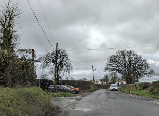
Kerswell Priory
Kerswell Priory (alias Carswell) was a small Cluniac priory in the parish of Broadhembury in Devon, England. == History == According to the Ecclesiastical...

Broadhembury
Broadhembury is a village and civil parish in the East Devon district of Devon, England, 5 miles (8 km) north-west of Honiton.The civil parish includes...
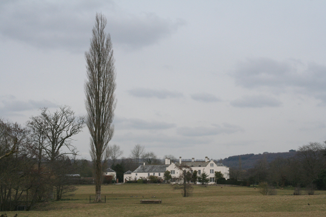
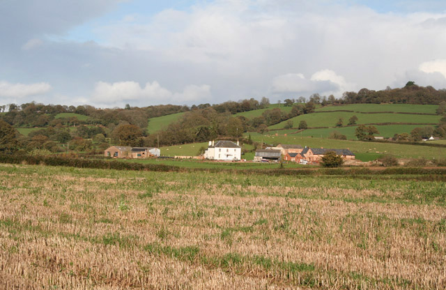
The Grange, Broadhembury
The Grange is a historic estate in the parish of Broadhembury in Devon, England. The surviving 16th-century mansion house (known as The Grange) is listed...
Bodmiscombe
Bodmiscombe is a village in Devon, England. == External links == Media related to Bodmiscombe at Wikimedia Commons

Blackborough, Devon
Blackborough is a hamlet and former manor in the parish of Kentisbeare, Devon, England. It is situated within the Mid Devon district. The nearest substantial...

Kentisbeare
Kentisbeare is a village and civil parish in the Mid Devon district of Devon, England. Its nearest town is Cullompton. == Descent of the manor == In the...

Blackborough House
Blackborough House is a grade II listed privately owned country house in Blackborough, Devon, three miles (5 km) east of Cullompton. It was built in 1838...
Nearby Amenities
Located within 500m of 50.851014,-3.2956668Have you been to Hommidge Copse?
Leave your review of Hommidge Copse below (or comments, questions and feedback).